

Town Santa María Pápalo, Oaxaca Central Valleys of Oaxaca
Cuicatec village above 2,000 m in the Cañada sierra, among forested hills and Volcán Prieto; its church was raised through communal tequio work.
From Huajuapan de León: about 2 h by road (~135 km) How to get there ↓
Near here
See everything nearby ↓


Plan your visit to Santa María Pápalo
Where to stay near Santa María Pápalo
Compare hotels, posadas and guest houses in Santa María Pápalo.
Tours to Santa María Pápalo
Day trips around Huautla sometimes stop in Santa María Pápalo; a tour is the easy way to see it without a car.
 Tours from Oaxaca City
Hierve el Agua 2.5 hours, Mitla, Tule, Rugs and Mezcal for a Day
★ 4.9 (1,558) · From US$70
How to get to Santa María Pápalo
- From Huajuapan de León: about 2 h by road (~135 km)
- Nearest airport: Oaxaca (OAX), 3 h 34 min by car to Huautla
Links open a partner site. We may earn a commission if you book, at no cost to you.
Tours from Oaxaca City, near Santa María Pápalo


Tours, prices and ratings from Viator, checked weekly. We may earn a commission if you book.
About Santa María Pápalo
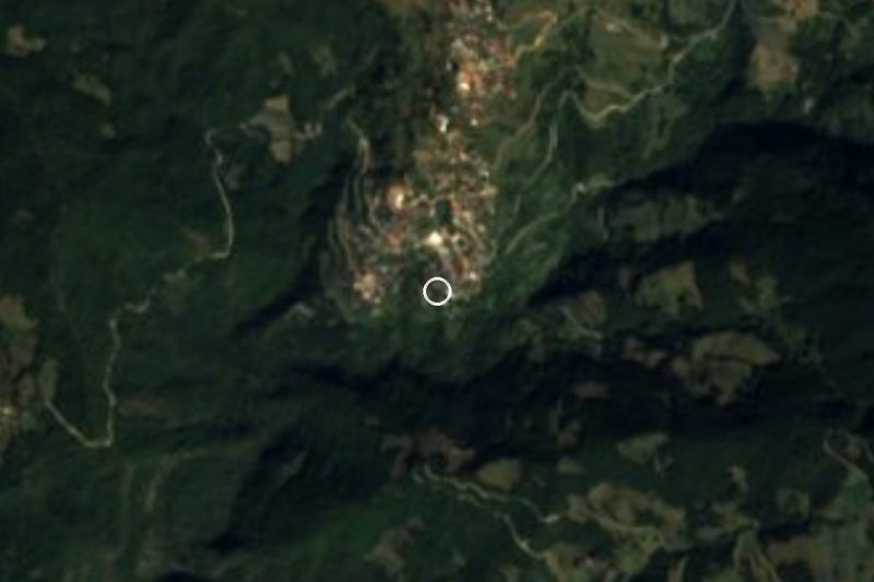
Pápalo is seen first from above: houses on a slope and, all around, hills with names of their own such as Pueblo Unido, Amarillo la Paz, El Pelón, La Paz and Volcán Prieto. Santa María Pápalo is the seat of a municipality in the northern Cañada sierra, in the Cuicatlán district, with about 56 to 58 km² and three localities: the seat (1,429 people in 2020), Peña Verde (440) and San Juan Teponapa (189). Most people speak Cuicatec, and some Chinantec speakers are also recorded.
The land is high sierra, between 900 and 3,300 m, with forest over nearly three quarters of the area and only 13% farmed. It is cool: 12 to 22 °C, with 800 to 2,000 mm of rain a year and a damp temperate climate in the upper parts. The Tres, Blanco, Mosco and Santa María rivers run all year and the municipality drains toward the Papaloapan. The traditional founding date given is 1500, and a carved stone monument from Santa María Pápalo is kept today at the Santo Domingo Cultural Centre in the city of Oaxaca. The village church was raised through tequio, communal labour.
It borders Concepción Pápalo and Santos Reyes Pápalo (north and west), San Pedro Sochiápam (east) and San Juan Tepeuxila (south). It is governed by customary law; the altitude of the seat is usually given as between 2,000 and 2,500 m depending on the source.
How to get to Santa María Pápalo
Santa María Pápalo is in the Cañada, in the Cuicatlán district, and is reached through Cuicatlán or through San Juan Tepeuxila, which borders the municipality to the south. We could not find a published bus or pickup timetable, the name of a line, or details on the road (paved or dirt) or phone signal.
The realistic way is to reach Cuicatlán first (from the city of Oaxaca or from Tehuacán) and ask there for the route pickup to Pápalo; the village town hall can advise before you travel. Count on a full day from Oaxaca and on winding, often foggy sierra roads.
Directions to Santa María Pápalo on Google Maps
Distances are in a straight line; the road is usually longer.
Links open a partner site. We may earn a commission if you book, at no cost to you.
From the nearest cities to Santa María Pápalo
- Huajuapan de León · about 135 km by road, ~2 h
- Orizaba · about 160 km by road, ~2 h 20 min
- Tehuacán · 165 km by road, 3 h 15 min
Drive times by road from OpenStreetMap, without traffic or stops. Times marked ~ are estimated from the straight-line distance.
Visiting Santa María Pápalo: what to see and do
Climb to the Cerro Volcán Prieto viewpoint to see the village on its slope.
Visit the church, built through tequio.
Walk the forest trails between the municipality's hills.
Look for the Blanco and Santa María rivers in the lower parts.
Ask at the town hall for guides and about the community of Peña Verde.
Bring a jacket: it is cool, and it rains in summer.
Plan your trip
Places to stay in Santa María Pápalo
Compare hotels, posadas, and rentals in and around Santa María Pápalo.
Tours & activities
Day trips around Huautla sometimes stop in Santa María Pápalo; a tour is the easy way to see it without a car.
Rental cars
Pick up a car at OAX (Oaxaca): about 3 h 34 min by road to Huautla, then 39 km more to Santa María Pápalo, on your own schedule.
Flights
The nearest airport with scheduled flights is Oaxaca (OAX), about 3 h 34 min by road from Huautla, the base for Santa María Pápalo.
Mobile data
Signal can drop away from Huautla: download a map of the way to Santa María Pápalo before you set out, or carry an eSIM with data.
Links open a partner site. We may earn a commission if you book, at no cost to you.
When to go to Santa María Pápalo mild
Santa María Pápalo shares the climate of Huautla, 39 km away. The best months to visit are February, March, April, and May.
See the month-by-month climate of Huautla
Weather in Santa María Pápalo now and the next 7 days
Live forecast from Open-Meteo. Chance of rain is the day's highest.
The closest Pueblo Mágico: Huautla

Huautla is the Pueblo Mágico closest to Santa María Pápalo, with places to stay, food, and more to see.
Also close to
- Capulálpam de Méndez · Oaxaca · 65 km away
- Teposcolula · Oaxaca · 80 km away
Closest to Santa María Pápalo
-
Santos Reyes Pápalo · Town · 7 km away
-
San Juan Tepeuxila · Village · 8 km away
-
Santiago Quiotepec · Town · 23 km away
-
Chiquihuitlán de Benito Juárez · Town · 24 km away
-
San Pedro Yólox · Village · 34 km away
-
Santa María Apazco · Town · 36 km away
-
Santa María la Asunción · Town · 36 km away
-
Santiago Comaltepec · Town · 36 km away


Near Santa María Pápalo



Drive times by road from OpenStreetMap, without traffic. Times marked ~ are estimated from the straight-line distance.
Location from OpenStreetMap. Written by Puebloteca.