Town Villa Talea de Castro, Oaxaca Sierra Norte of Oaxaca
Coffee-growing Zapotec town in the Sierra Norte at 1,660 m, with five wind bands, a San Miguel fiesta on 29 September and its own mobile network.
From Oaxaca: 2 h 5 min by car (117 km by road) How to get there ↓
Near here
See everything nearby ↓



Plan your visit to Villa Talea de Castro
Where to stay near Villa Talea de Castro
Compare hotels, posadas and guest houses in Villa Talea de Castro.
Tours to Villa Talea de Castro
Day trips around Capulálpam de Méndez sometimes stop in Villa Talea de Castro; a tour is the easy way to see it without a car.
 Tours from Oaxaca City
Hierve el Agua 2.5 hours, Mitla, Tule, Rugs and Mezcal for a Day
★ 4.9 (1,558) · From US$70
How to get to Villa Talea de Castro
- From Oaxaca: about 2 h 5 min by road (~117 km)
- Nearest airport: Oaxaca (OAX), 1 h 27 min by car to Capulálpam de Méndez
Links open a partner site. We may earn a commission if you book, at no cost to you.
Tours from Oaxaca City, near Villa Talea de Castro


Tours, prices and ratings from Viator, checked weekly. We may earn a commission if you book.
About Villa Talea de Castro
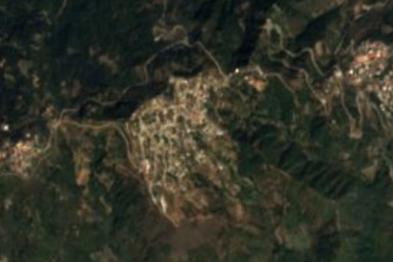
Villa Talea de Castro clings to the slope of the Sierra de Juárez in the Villa Alta district, at roughly 1,600 m. The name comes from Zapotec and is read as "slope of the courtyard", for the way the town sits high on the mountain. A document in the municipal archive, written in old Zapotec, suggests a founding around 1525; until 1889 it was called San Miguel Talea. In 2020 the municipality had 2,011 people and the town 1,499, and about 39% of the population speaks Zapotec.
Coffee underpins the economy. It is planted in July and August and picked in November, and in March and April you see beans drying on petates in patios and on rooftops before milling. Many residents have moved to Oaxaca city, Mexico City or abroad, and their influence explains the concrete houses beside adobe ones with beams and tile roofs. It rains a great deal in the sierra, over 2,000 mm a year.
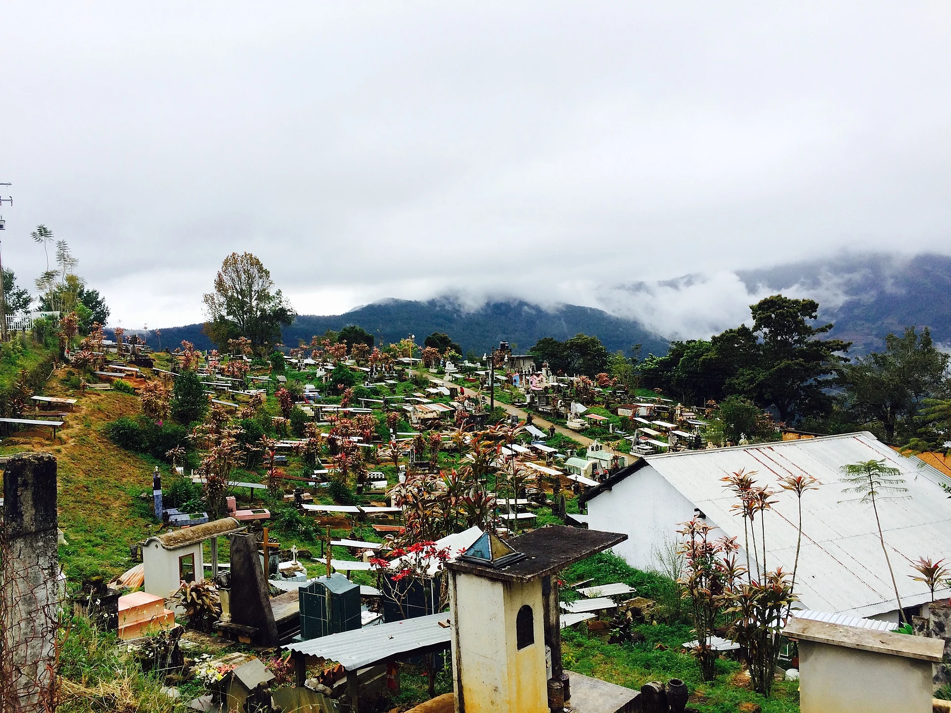
The patron feast of San Miguel Arcángel is on 29 September: sponsors must feed anyone who comes by their house, and visitors usually bring beans, piloncillo, coffee, mezcal, beer or firewood. The town has five wind bands and an orchestra. One local dish is plátano melado, cooked when families make panela on their ranches. Talea is also known for running its own community mobile phone network. In the cemetery on the hillside, the graves sit against mountains and cloud. There is simple lodging: a guesthouse and the Hostal San Carlos.
How to get to Villa Talea de Castro
Drive from Oaxaca: 2 h 5 min, 117 km
From Oaxaca city it is a long trip: about 113 km by road and approx. 3 h 30 min by car, climbing through the Sierra Juárez; by bus or pickup it takes 4 to 5 hours. From Capulálpam de Méndez, the nearest Pueblo Mágico, it is approx. 1 hour on a winding road.
We found no published timetable or the name of the line serving this route. The safest approach is to ask in Oaxaca, at the terminals and stops, for buses or pickups toward the Sierra Norte (Villa Alta) and confirm the schedule and departure point there. There is simple lodging in town. There is mobile signal in Talea, which runs its own community network, although the road in can lack coverage.
Directions to Villa Talea de Castro on Google Maps
Distances are in a straight line; the road is usually longer.
Links open a partner site. We may earn a commission if you book, at no cost to you.
From the nearest cities to Villa Talea de Castro
- Oaxaca · 117 km by road, 2 h 5 min
- San Andrés Tuxtla · about 210 km by road, ~3 h 5 min
- Juchitán · about 215 km by road, ~3 h 10 min
Drive times by road from OpenStreetMap, without traffic or stops. Times marked ~ are estimated from the straight-line distance.
Before you go to Villa Talea de Castro: hours, prices and tips
- Best season
- Coffee is planted in July and August and harvested in November; beans dry in March and April. Patron feast on 29 September. Wikipedia (es) · checked Oct 2026
- What to bring
- Bring cash and rain gear: over 2,000 mm of rain a year. Pueblos de América (INEGI data) · checked Oct 2026
Hours and prices change, especially around holidays. Each fact links to where we checked it.
Visiting Villa Talea de Castro: what to see and do
Walk the hillside town and look at the church and steep streets.
Step up to the cemetery, with mountains and mist behind.
Come on 29 September for the San Miguel Arcángel fiesta and its wind bands.
In November the coffee harvest is on; in March and April beans dry on petates.
Try plátano melado and local coffee.
Ask about the town's community mobile network.
Plan your trip
Places to stay in Villa Talea de Castro
Compare hotels, posadas, and rentals in and around Villa Talea de Castro.
Tours & activities
Day trips around Capulálpam de Méndez sometimes stop in Villa Talea de Castro; a tour is the easy way to see it without a car.
Rental cars
Pick up a car at OAX (Oaxaca): about 1 h 27 min by road to Capulálpam de Méndez, then 22 km more to Villa Talea de Castro, on your own schedule.
Flights
The nearest airport with scheduled flights is Oaxaca (OAX), about 1 h 27 min by road from Capulálpam de Méndez, the base for Villa Talea de Castro.
Mobile data
Signal can drop away from Capulálpam de Méndez: download a map of the way to Villa Talea de Castro before you set out, or carry an eSIM with data.
Links open a partner site. We may earn a commission if you book, at no cost to you.
When to go to Villa Talea de Castro cool
Villa Talea de Castro shares the climate of Capulálpam de Méndez, 22 km away. The best months to visit are January, February, March, and December.
See the month-by-month climate of Capulálpam de Méndez
Weather in Villa Talea de Castro now and the next 7 days
Live forecast from Open-Meteo. Chance of rain is the day's highest.
The closest Pueblo Mágico: Capulálpam de Méndez

Capulálpam de Méndez is the Pueblo Mágico closest to Villa Talea de Castro, with places to stay, food, and more to see.
Also close to
- Mitla · Oaxaca · 51 km away
Closest to Villa Talea de Castro
-
San Miguel Yotao · Village · 9 km away
-
San Juan Yatzona · Town · 10 km away
-
San Pedro Cajonos · Town · 22 km away
-
Guelatao de Juárez · Town · 26 km away
-
Ixtlán de Juárez · Town · 26 km away
-
Lachatao · Town · 26 km away
-
Totontepec Villa de Morelos · Town · 26 km away
-
San José Chinantequilla · Village · 28 km away


Near Villa Talea de Castro


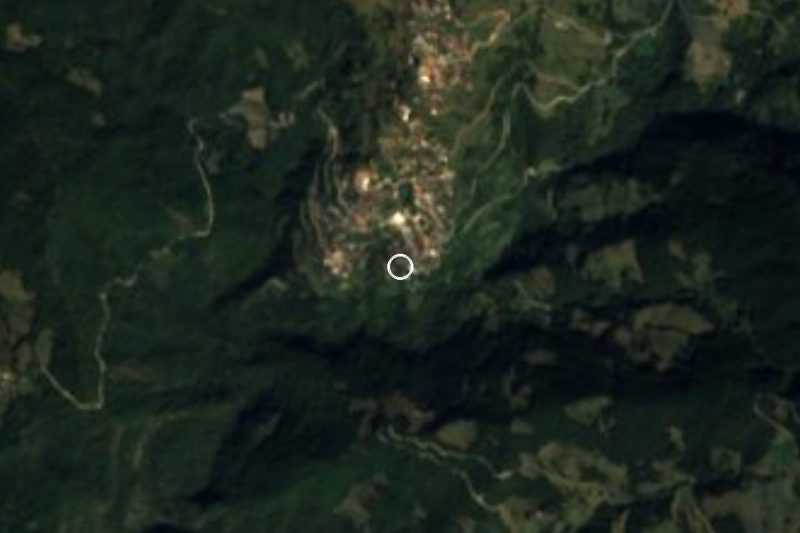


Drive times by road from OpenStreetMap, without traffic. Times marked ~ are estimated from the straight-line distance.
Location from OpenStreetMap. Written by Puebloteca.