
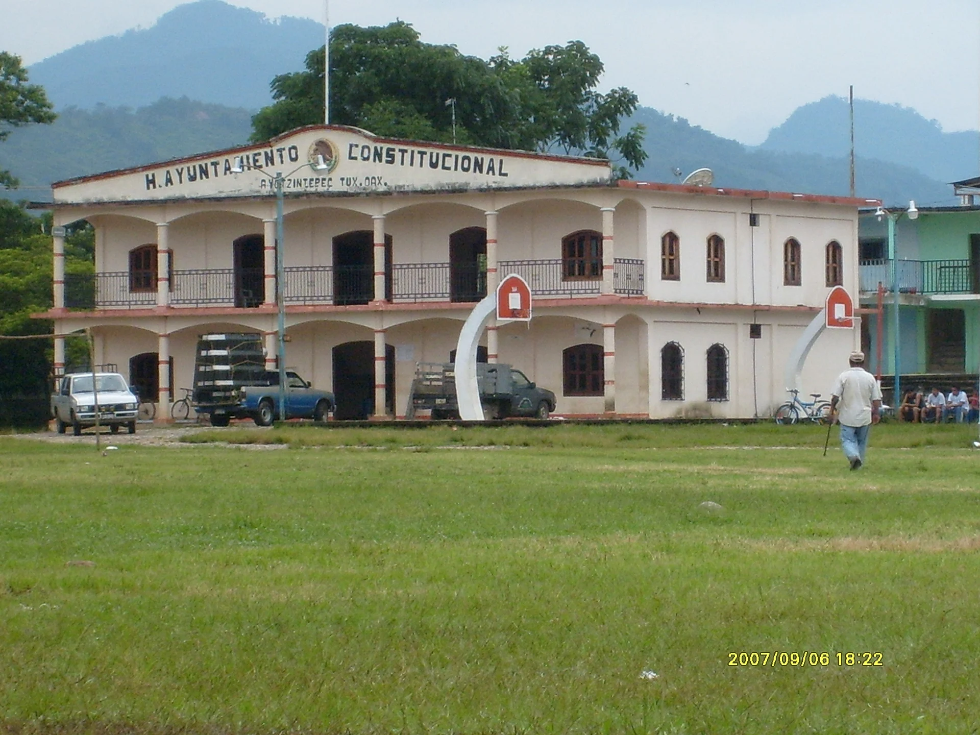
Town Ayotzintepec, Oaxaca Papaloapan (Oaxaca)
Municipal seat in the Papaloapan lowlands, in a valley by the Mojarras River, with a San Isidro fair in May.
From Tuxtepec: 1 h 30 min by car (69 km by road) How to get there ↓
Near here
See everything nearby ↓

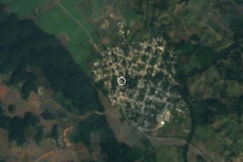


Plan your visit to Ayotzintepec
Where to stay near Ayotzintepec
Compare hotels, posadas and guest houses in Ayotzintepec.
Tours to Ayotzintepec
Day trips around Capulálpam de Méndez sometimes stop in Ayotzintepec; a tour is the easy way to see it without a car.
 Tours from Oaxaca City
Hierve el Agua 2.5 hours, Mitla, Tule, Rugs and Mezcal for a Day
★ 4.9 (1,558) · From US$70
How to get to Ayotzintepec
- From Tuxtepec: about 1 h 30 min by road (~69 km)
- Nearest airport: Oaxaca (OAX), 1 h 27 min by car to Capulálpam de Méndez
Links open a partner site. We may earn a commission if you book, at no cost to you.
Tours from Oaxaca City, near Ayotzintepec


Tours, prices and ratings from Viator, checked weekly. We may earn a commission if you book.
About Ayotzintepec
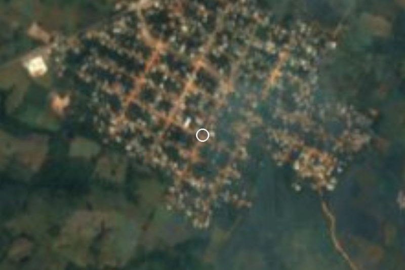
Ayotzintepec sits in a valley in the lowland Chinantla, around 117 metres above sea level, beside the Mojarras River, a tributary of the Cajonos. It is the seat of the municipality of the same name in the Tuxtepec district; its main locality had 3,883 inhabitants in 2020 (3,609 in 2010). The name is Nahuatl and is usually rendered "on the hill of the little turtles".
The town's past is unusually tangled. The 1910 census lists it as a ranch of 308 people under San Pedro Ozumacín; in 1921 it is recorded as empty, and in 1930 it reappears as Los Llanos de Ayotzintepec. After disputes in Ozumacín, that municipality was abolished in 1941, and on 12 June 1942 the Oaxaca congress restored the municipality with Ayotzintepec as its seat. Nothing reliable is documented about how the settlement began.
The climate is hot and wet, with rain all year: 3,000 to 4,000 mm annually and mean temperatures of 22 to 26 degrees C. The municipality still has rainforest with amate, mahogany, cedar and ceiba trees, and pasture and farmland in the lower parts.
In town, women embroider and some families weave reed baskets; traditional dress is a long red skirt with a white embroidered blouse with kimono-style sleeves. Local food includes mole and white barbacoa, and the town is known for its wind band. The main fiesta is San Isidro Labrador, around 14 May, with a fair, dances and popular games. Pre-Hispanic pieces have turned up in several parts of town.
How to get to Ayotzintepec
Drive from Tuxtepec: 1 h 30 min, 69 km
Ayotzintepec is in northern Oaxaca, about 66 km by road from Tuxtepec (roughly 1 h 20 min by car or taxi). Leave Tuxtepec on the federal highway heading south toward San Juan Bautista Valle Nacional, then take the local road to the town; the last stretch is the slowest. From the city of Oaxaca it is around 300 km, passing through Tuxtepec.
There is no direct bus from Tuxtepec to Ayotzintepec. The Tuxtepec bus station (Mariano Matamoros terminal) has departures to Valle Nacional with Cuenca (ADO), about 4 a day, and with Autobuses Unidos; from Valle Nacional you continue by taxi (about 1 hour). From the city of Oaxaca, ADO runs to Tuxtepec from the first-class terminal (about 5 h 45 min). We found no timetable for local combis or colectivos; ask in Valle Nacional or Tuxtepec.
To the neighbouring village of San Pedro Ozumacín, about 10 km west, the road is dirt. It rains heavily almost all year, so check road conditions before setting out.
Directions to Ayotzintepec on Google Maps
Distances are in a straight line; the road is usually longer.
Links open a partner site. We may earn a commission if you book, at no cost to you.
From the nearest cities to Ayotzintepec
- Tuxtepec · 69 km by road, 1 h 30 min
- Tehuacán · about 205 km by road, ~3 h 5 min
- San Andrés Tuxtla · 181 km by road, 3 h 25 min
Drive times by road from OpenStreetMap, without traffic or stops. Times marked ~ are estimated from the straight-line distance.
Before you go to Ayotzintepec: hours, prices and tips
- Best season
- The main fiesta, San Isidro Labrador, is around 14 May. Guía Turística México: Ayotzintepec · checked Oct 2026
- What to bring
- Rain gear: it rains 3,000 to 4,000 mm a year and the climate is hot and humid. Wikipedia: Municipio de Ayotzintepec · checked Oct 2026
Hours and prices change, especially around holidays. Each fact links to where we checked it.
Visiting Ayotzintepec: what to see and do
Walk the centre and the municipal palace.
Listen to the town's wind band.
Try the mole and white barbacoa.
Look for embroidery and reed baskets made by local women.
Come for the San Isidro Labrador fair, around 14 May.
Go down to the Mojarras River and the surrounding rainforest.
Plan your trip
Places to stay in Ayotzintepec
Compare hotels, posadas, and rentals in and around Ayotzintepec.
Tours & activities
Day trips around Capulálpam de Méndez sometimes stop in Ayotzintepec; a tour is the easy way to see it without a car.
Rental cars
Pick up a car at OAX (Oaxaca): about 1 h 27 min by road to Capulálpam de Méndez, then 54 km more to Ayotzintepec, on your own schedule.
Flights
The nearest airport with scheduled flights is Oaxaca (OAX), about 1 h 27 min by road from Capulálpam de Méndez, the base for Ayotzintepec.
Mobile data
Signal can drop away from Capulálpam de Méndez: download a map of the way to Ayotzintepec before you set out, or carry an eSIM with data.
Links open a partner site. We may earn a commission if you book, at no cost to you.
When to go to Ayotzintepec cool
Ayotzintepec shares the climate of Capulálpam de Méndez, 54 km away. The best months to visit are January, February, March, and December.
See the month-by-month climate of Capulálpam de Méndez
Weather in Ayotzintepec now and the next 7 days
Live forecast from Open-Meteo. Chance of rain is the day's highest.
The closest Pueblo Mágico: Capulálpam de Méndez

Capulálpam de Méndez is the Pueblo Mágico closest to Ayotzintepec, with places to stay, food, and more to see.
Closest to Ayotzintepec
-
Río Chiquito · Town · 21 km away
-
San Juan Bautista Valle Nacional · Town · 22 km away
-
Bethania · Village · 30 km away
-
San Juan Yatzona · Town · 30 km away
-
Villa Talea de Castro · Town · 37 km away
-
San Miguel Yotao · Village · 40 km away
-
El Nigromante · Village · 41 km away
-
San José Chinantequilla · Village · 43 km away
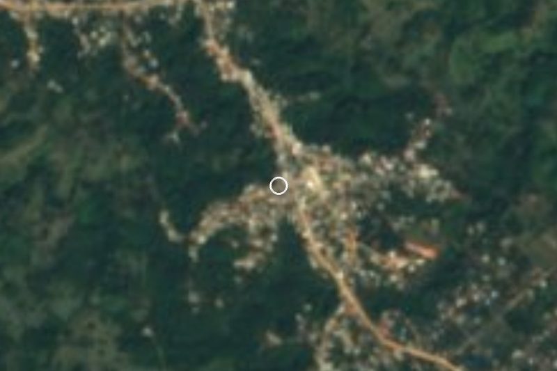

Near Ayotzintepec



Drive times by road from OpenStreetMap, without traffic. Times marked ~ are estimated from the straight-line distance.
Location from OpenStreetMap. Written by Puebloteca.