Town Santiago Jocotepec, Oaxaca Papaloapan (Oaxaca)
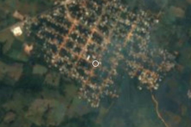
The largest locality of Santiago Jocotepec, on the Papaloapan lowlands at 43 m, with 2,145 people and the hills of the Chinantec sierra behind it.
From Tuxtepec: 1 h 40 min by car (87 km by road) How to get there ↓
Near here
See everything nearby ↓


Plan your visit to Río Chiquito
Where to stay near Río Chiquito
Compare hotels, posadas and guest houses in Río Chiquito.
Tours to Río Chiquito
Day trips around Capulálpam de Méndez sometimes stop in Río Chiquito; a tour is the easy way to see it without a car.
How to get to Río Chiquito
- From Tuxtepec: about 1 h 40 min by road (~87 km)
- Nearest airport: Oaxaca (OAX), 1 h 27 min by car to Capulálpam de Méndez
Links open a partner site. We may earn a commission if you book, at no cost to you.
About Río Chiquito
Río Chiquito is the biggest locality in the municipality of Santiago Jocotepec, in the Choapam district of the Papaloapan region. The 2020 census counted 2,145 people, up from 1,940 in 2010 and 1,825 in 2005, so a large share of a 732 km² municipality (created on 15 March 1825) lives here. It sits only 43 m above sea level on low, hot and very wet ground. INEGI figures collected by Pueblos de América give an average temperature of 24.8 °C and about 2,334 mm of rain a year, falling on roughly 279 days.
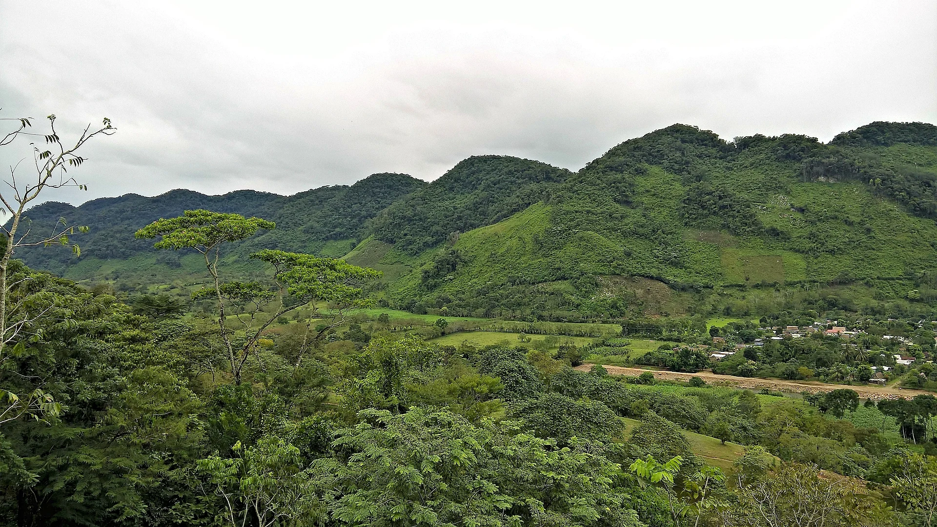
The population is almost entirely indigenous: about 99% of residents identify as such and around 81% speak an indigenous language. A Wikimedia Commons photograph taken from a lookout in the Chinantec sierra shows, in the distance, the Cordón 20 Cerros and the western side of the Río Chiquito ejido: green forested hills and farm plots in the valley. That is what you notice on arrival, with the mountains rising right behind the houses.
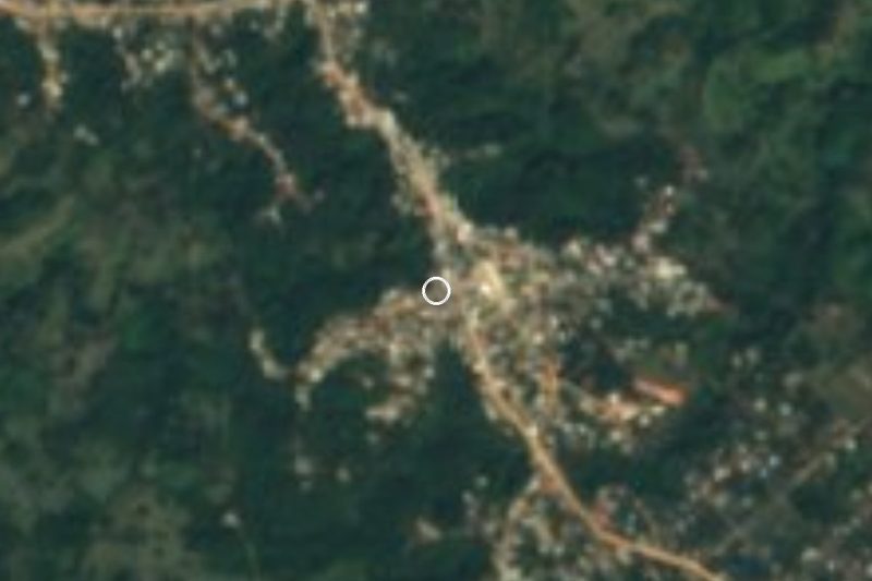
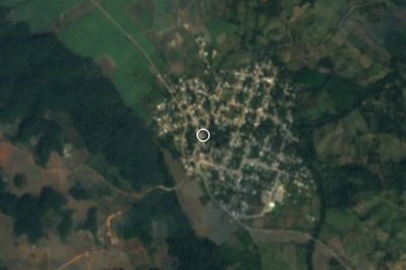
The nearest neighbours are small: Cerro Caliente 1.4 km to the southeast, Luis Echeverría about 2.6 km to the southwest, and El Porvenir, a hamlet of a little over a hundred people, about 5 km to the east. Monte Negro, the other large locality in the municipality, has around 2,000 residents. Río Chiquito has no registered lodging; the nearest is 30 to 40 km away, so treat it as a day stop from Tuxtepec rather than a place to sleep. It suits anyone curious about the Chinantec communities of the region; there is no formal list of tourist sights.
How to get to Río Chiquito
Drive from Tuxtepec: 1 h 40 min, 87 km
Río Chiquito is in the far north of Oaxaca, in the municipality of Santiago Jocotepec. From San Juan Bautista Tuxtepec, the nearest base with services, it is about 56 km in a straight line, roughly 65 minutes by road by our estimate. We found no source for the exact route or highway numbers, so confirm the way in Tuxtepec or on an up-to-date map before setting out. The nearest lodging is 30 to 40 km away and the village has no hotels. From the city of Oaxaca it is a long journey of several hours that runs through the Papaloapan region. We found no source naming bus or colectivo lines to Río Chiquito: ask at the terminals in Tuxtepec for transport to Monte Negro and Río Chiquito. As a second reference point, Capulálpam de Méndez is about 65 km away in a straight line, roughly 75 minutes, but through the sierra the real drive is considerably longer. The region gets heavy rain, and local roads can be difficult in the wet season.
Directions to Río Chiquito on Google Maps
Distances are in a straight line; the road is usually longer.
Links open a partner site. We may earn a commission if you book, at no cost to you.
From the nearest cities to Río Chiquito
- Tuxtepec · 87 km by road, 1 h 40 min
- Oaxaca · about 135 km by road, ~2 h
- San Andrés Tuxtla · 155 km by road, 2 h 50 min
Drive times by road from OpenStreetMap, without traffic or stops. Times marked ~ are estimated from the straight-line distance.
Visiting Río Chiquito: what to see and do
Look at the Chinantec sierra rising behind the village.
Follow the road toward El Porvenir, about 5 km east.
Walk or drive to Cerro Caliente, 1.4 km southeast.
Visit Monte Negro, the other large locality in the municipality.
Take in the forest and farm plots of the ejido.
Plan your trip
Places to stay in Río Chiquito
Compare hotels, posadas, and rentals in and around Río Chiquito.
Tours & activities
Day trips around Capulálpam de Méndez sometimes stop in Río Chiquito; a tour is the easy way to see it without a car.
Rental cars
Pick up a car at OAX (Oaxaca): about 1 h 27 min by road to Capulálpam de Méndez, then 65 km more to Río Chiquito, on your own schedule.
Flights
The nearest airport with scheduled flights is Oaxaca (OAX), about 1 h 27 min by road from Capulálpam de Méndez, the base for Río Chiquito.
Mobile data
Signal can drop away from Capulálpam de Méndez: download a map of the way to Río Chiquito before you set out, or carry an eSIM with data.
Links open a partner site. We may earn a commission if you book, at no cost to you.
When to go to Río Chiquito cool
Río Chiquito shares the climate of Capulálpam de Méndez, 65 km away. The best months to visit are January, February, March, and December.
See the month-by-month climate of Capulálpam de Méndez
Weather in Río Chiquito now and the next 7 days
Live forecast from Open-Meteo. Chance of rain is the day's highest.
The closest Pueblo Mágico: Capulálpam de Méndez

Capulálpam de Méndez is the Pueblo Mágico closest to Río Chiquito, with places to stay, food, and more to see.
Closest to Río Chiquito
-
Ayotzintepec · Town · 21 km away
-
El Nigromante · Village · 25 km away
-
Bethania · Village · 34 km away
-
San José Chinantequilla · Village · 35 km away
-
San Juan Yatzona · Town · 35 km away
-
Totontepec Villa de Morelos · Town · 41 km away
-
San Juan Bautista Valle Nacional · Town · 43 km away
-
Villa Talea de Castro · Town · 44 km away


Near Río Chiquito




Drive times by road from OpenStreetMap, without traffic. Times marked ~ are estimated from the straight-line distance.
Location from OpenStreetMap. Written by Puebloteca.