
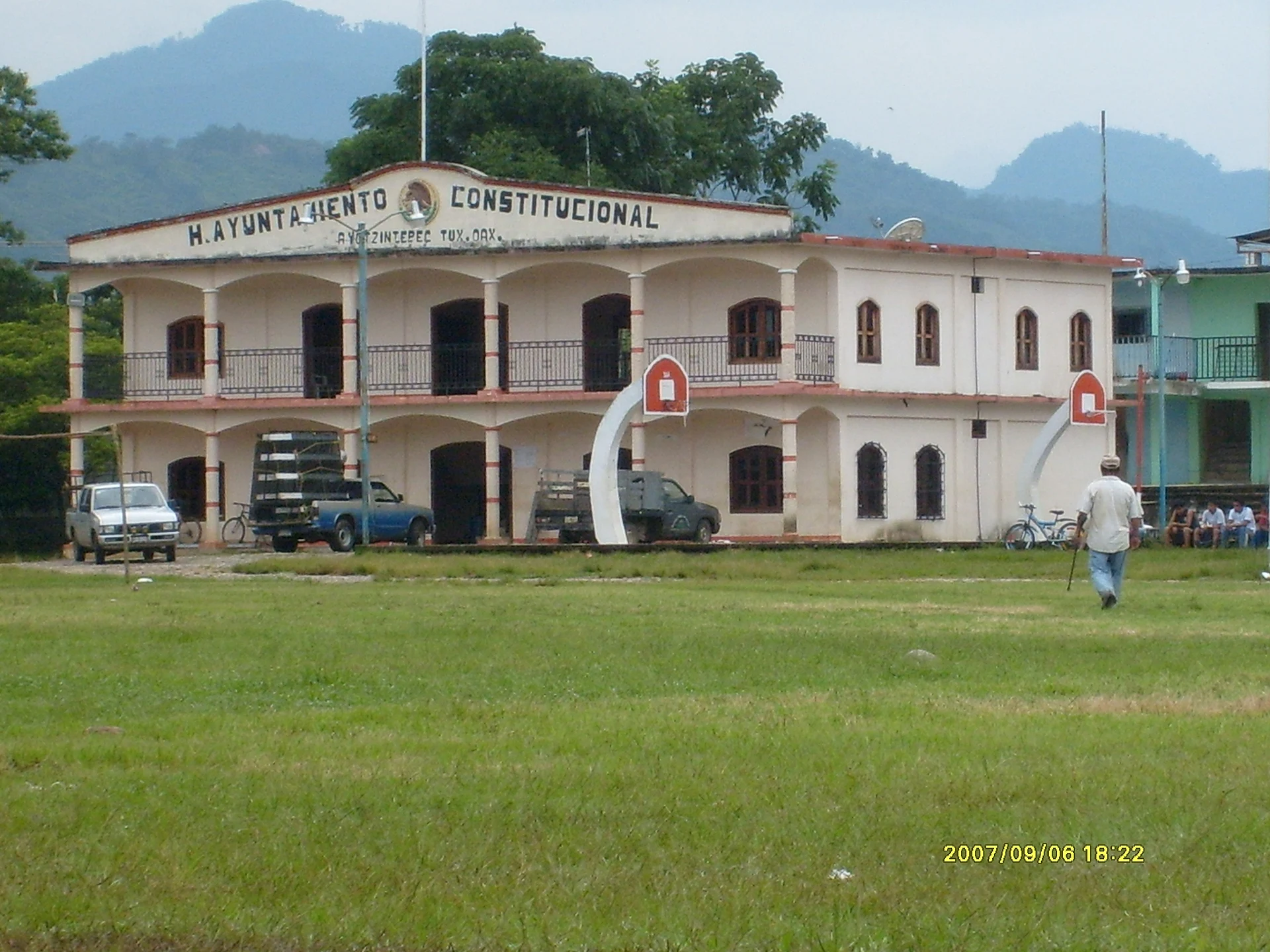
A region of Oaxaca
The humid lowlands of north-eastern Oaxaca along the Papaloapan basin, around the city of San Juan Bautista Tuxtepec: rivers, the Cerro de Oro and Miguel Alemán reservoirs, and Chinantec and Mazatec villages toward the mountains.
6 places to visit
Map
Places to visit in Papaloapan (Oaxaca) 6
6 places with their own page, grouped by kind.
Towns
-
Ayotzintepec · Town · Oaxaca
Municipal seat in the Papaloapan lowlands, in a valley by the Mojarras River, with a San Isidro fair in May. -
Loma Bonita · Town · Oaxaca
Oaxaca's pineapple capital in the lower Papaloapan basin, about 36 km from Tuxtepec: pineapple fields, the May Pineapple Fair and an old railway junction. -
Río Chiquito · Town · Oaxaca
The largest locality of Santiago Jocotepec, on the Papaloapan lowlands at 43 m, with 2,145 people and the hills of the Chinantec sierra behind it. -
San Juan Bautista Valle Nacional · Town · Oaxaca
Chinantec town in a Sierra Norte canyon, about 50 km from Tuxtepec; a Porfirian tobacco district described in Turner's Barbarous Mexico. -
San Lucas Ojitlán · Town · Oaxaca
Chinantec seat in the Papaloapan lowlands, between two dams, where the Plan of Tuxtepec was proclaimed in 1876.


Villages
-
Bethania · Village · Oaxaca
Village about 22 km from Tuxtepec at 40 m above sea level, with river waterfalls and pools; a mostly evangelical community.
Top tours in Papaloapan (Oaxaca)


Tours, prices and ratings from Viator, checked weekly. We may earn a commission if you book.
Getting around Papaloapan (Oaxaca)
Fly into Oaxaca (OAX).
Cities to start from: Tuxtepec
Most of the region is reached by road: a rental car is the easiest way to see several places in a day, and buses link the larger towns.
When to visit Papaloapan (Oaxaca)
Most of Papaloapan (Oaxaca) is at its best in January, February, March, and December.
Month-by-month climate on each Pueblo Mágico's page: Capulálpam de Méndez, Huautla, Mitla