

Town San Juan Bautista Valle Nacional, Oaxaca Papaloapan (Oaxaca)
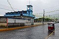
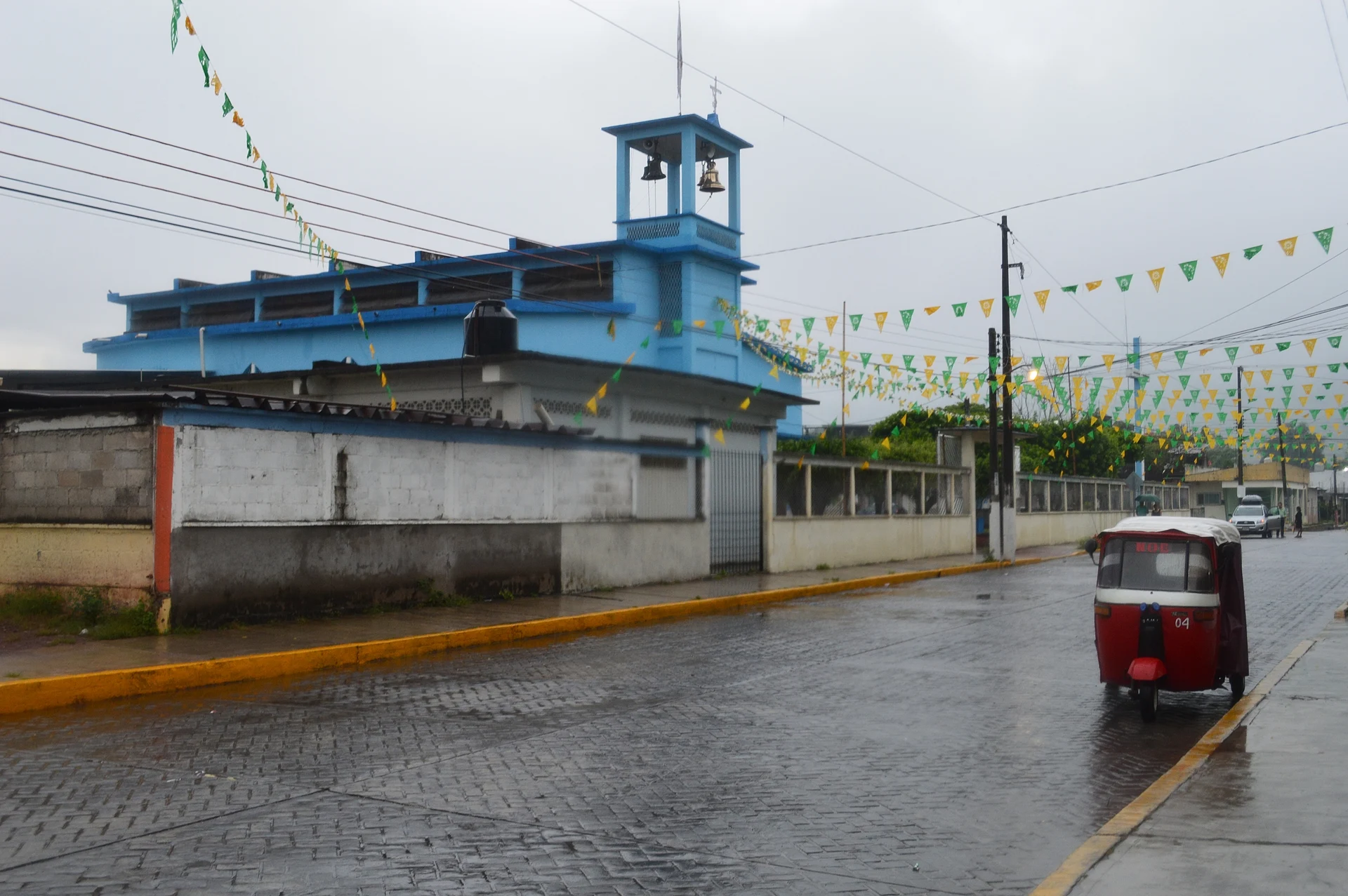
Chinantec town in a Sierra Norte canyon, about 50 km from Tuxtepec; a Porfirian tobacco district described in Turner's Barbarous Mexico.
From Tuxtepec: 50 min by car (50 km by road) How to get there ↓
Near here
See everything nearby ↓



Plan your visit to San Juan Bautista Valle Nacional
Where to stay near San Juan Bautista Valle Nacional
Compare hotels, posadas and guest houses in San Juan Bautista Valle Nacional.
Tours to San Juan Bautista Valle Nacional
Day trips around Capulálpam de Méndez sometimes stop in San Juan Bautista Valle Nacional; a tour is the easy way to see it without a car.
How to get to San Juan Bautista Valle Nacional
- From Tuxtepec: about 50 min by road (~50 km)
- Nearest airport: Oaxaca (OAX), 1 h 27 min by car to Capulálpam de Méndez
Links open a partner site. We may earn a commission if you book, at no cost to you.
About San Juan Bautista Valle Nacional
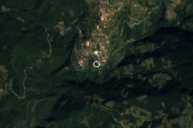
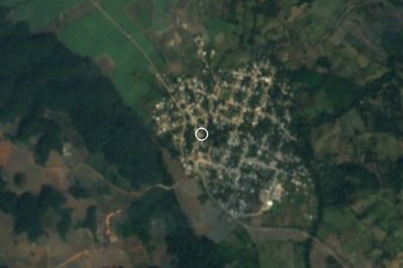
Valle Nacional is wedged into the foothills of the Sierra Norte, in the heart of the Chinantla, on the river of the same name, at about 60 or 77 m depending on the source. The Valle Nacional river flows into the Santo Domingo, and their meeting forms the Papaloapan. It is one of the rainiest parts of the country: Wikipedia's climate table gives about 3,335 mm a year. In colonial times it was called Valle Real; after Independence, Valle Nacional. The seat had 5,812 residents in 2020.
Before the conquest this was Chinantlan, a Chinantec city-state that grew maize, squash, beans, chile, achiote and cacao and was conquered by the Aztecs, probably under Moctezuma I, paying tribute in gold and cacao. The present town was founded in 1811 and the municipality dates from 15 March 1825.
The name is tied to the darkest chapter of the Porfiriato. In the late 19th and early 20th centuries the valley's tobacco plantations and big haciendas ran on forced labour, and the region also served as a place of confinement for convicts and opponents of Porfirio Díaz. John Kenneth Turner described it in Barbarous Mexico; Enrique Albuerne wrote the novel Valle Nacional, filmed in 1975 as El valle de los miserables, directed by René Cardona Jr. Since 2008 the Fiesta Tabacalera dance has recalled that era, and the Fandango Cuenqueño shows the Veracruz influence that arrived with trade; the first has been performed at the Guelaguetza.
Today visitors come for the river, springs and waterfalls, the murals in town, and the food: mole paste all year and, in San Mateo Yetla, river fish.
How to get to San Juan Bautista Valle Nacional
Drive from Tuxtepec: 50 min, 50 km
Valle Nacional is about 50 km from Tuxtepec on federal highway 175: from Parque Benito Juárez or the Multiplaza, take Boulevard Benito Juárez toward Valle Nacional and stay on the federal road. By public transport, the Terminal Transportes Tuxtepec (Av. 5 de Mayo at Ocampo) runs "urban" services for about 50 pesos and roughly an hour, from 5:00 to 16:30 from Tuxtepec and 4:30 to 20:00 coming back; Transporte Juquilita runs vans for about 40 pesos, the first at 5:00 (source: Tuxtepec tourism, fares may change).
From Oaxaca City, highway 175 climbs through Ixtlán de Juárez and drops into the Chinantla; Tuxtepec is about 188 km from Oaxaca (SEMAR) and Valle Nacional is about 108 km beyond Ixtlán. It is a winding mountain road. The 175 was fully closed in 2024 near the Arroyo Choapam bridge between Tuxtepec and Valle Nacional; check conditions before leaving.
Directions to San Juan Bautista Valle Nacional on Google Maps
Distances are in a straight line; the road is usually longer.
Links open a partner site. We may earn a commission if you book, at no cost to you.
From the nearest cities to San Juan Bautista Valle Nacional
- Tuxtepec · 50 km by road, 50 min
- Tehuacán · about 180 km by road, ~2 h 40 min
- Córdoba · about 185 km by road, ~2 h 40 min
Drive times by road from OpenStreetMap, without traffic or stops. Times marked ~ are estimated from the straight-line distance.
Visiting San Juan Bautista Valle Nacional: what to see and do
Walk the main plaza and the parish church of San Juan Bautista.
Look for the murals around town.
Swim at La Hondura, the pool on Arroyo de Banco beside a waterfall visible from the highway.
Continue to the ecotourism centre at San Mateo Yetla, on the river.
Buy mole paste at Mole Doña Juanita.
Read Barbarous Mexico beforehand to understand the tobacco history.
Plan your trip
Places to stay in San Juan Bautista Valle Nacional
Compare hotels, posadas, and rentals in and around San Juan Bautista Valle Nacional.
Tours & activities
Day trips around Capulálpam de Méndez sometimes stop in San Juan Bautista Valle Nacional; a tour is the easy way to see it without a car.
Rental cars
Pick up a car at OAX (Oaxaca): about 1 h 27 min by road to Capulálpam de Méndez, then 55 km more to San Juan Bautista Valle Nacional, on your own schedule.
Flights
The nearest airport with scheduled flights is Oaxaca (OAX), about 1 h 27 min by road from Capulálpam de Méndez, the base for San Juan Bautista Valle Nacional.
Mobile data
Signal can drop away from Capulálpam de Méndez: download a map of the way to San Juan Bautista Valle Nacional before you set out, or carry an eSIM with data.
Links open a partner site. We may earn a commission if you book, at no cost to you.
Photos
When to go to San Juan Bautista Valle Nacional cool
San Juan Bautista Valle Nacional shares the climate of Capulálpam de Méndez, 55 km away. The best months to visit are January, February, March, and December.
See the month-by-month climate of Capulálpam de Méndez
Weather in San Juan Bautista Valle Nacional now and the next 7 days
Live forecast from Open-Meteo. Chance of rain is the day's highest.
The closest Pueblo Mágico: Capulálpam de Méndez

Capulálpam de Méndez is the Pueblo Mágico closest to San Juan Bautista Valle Nacional, with places to stay, food, and more to see.
Also close to
- Huautla · Oaxaca · 71 km away
Closest to San Juan Bautista Valle Nacional
-
Ayotzintepec · Town · 22 km away
-
San Lucas Ojitlán · Town · 33 km away
-
San Pedro Yólox · Village · 34 km away
-
Bethania · Village · 35 km away
-
Santiago Comaltepec · Town · 35 km away
-
San Pablo Macuiltianguis · Village · 38 km away
-
San Felipe Jalapa de Díaz · Town · 41 km away
-
Río Chiquito · Town · 43 km away


Near San Juan Bautista Valle Nacional


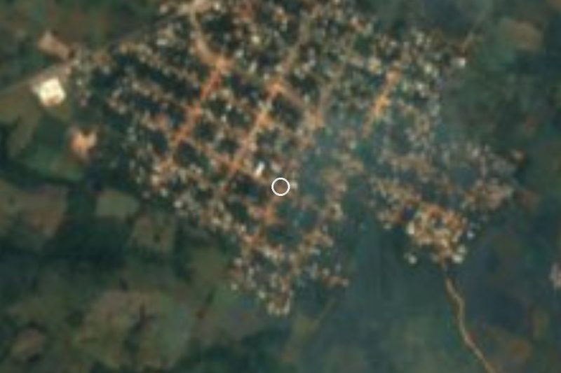

Drive times by road from OpenStreetMap, without traffic. Times marked ~ are estimated from the straight-line distance.
Location from OpenStreetMap. Written by Puebloteca.