
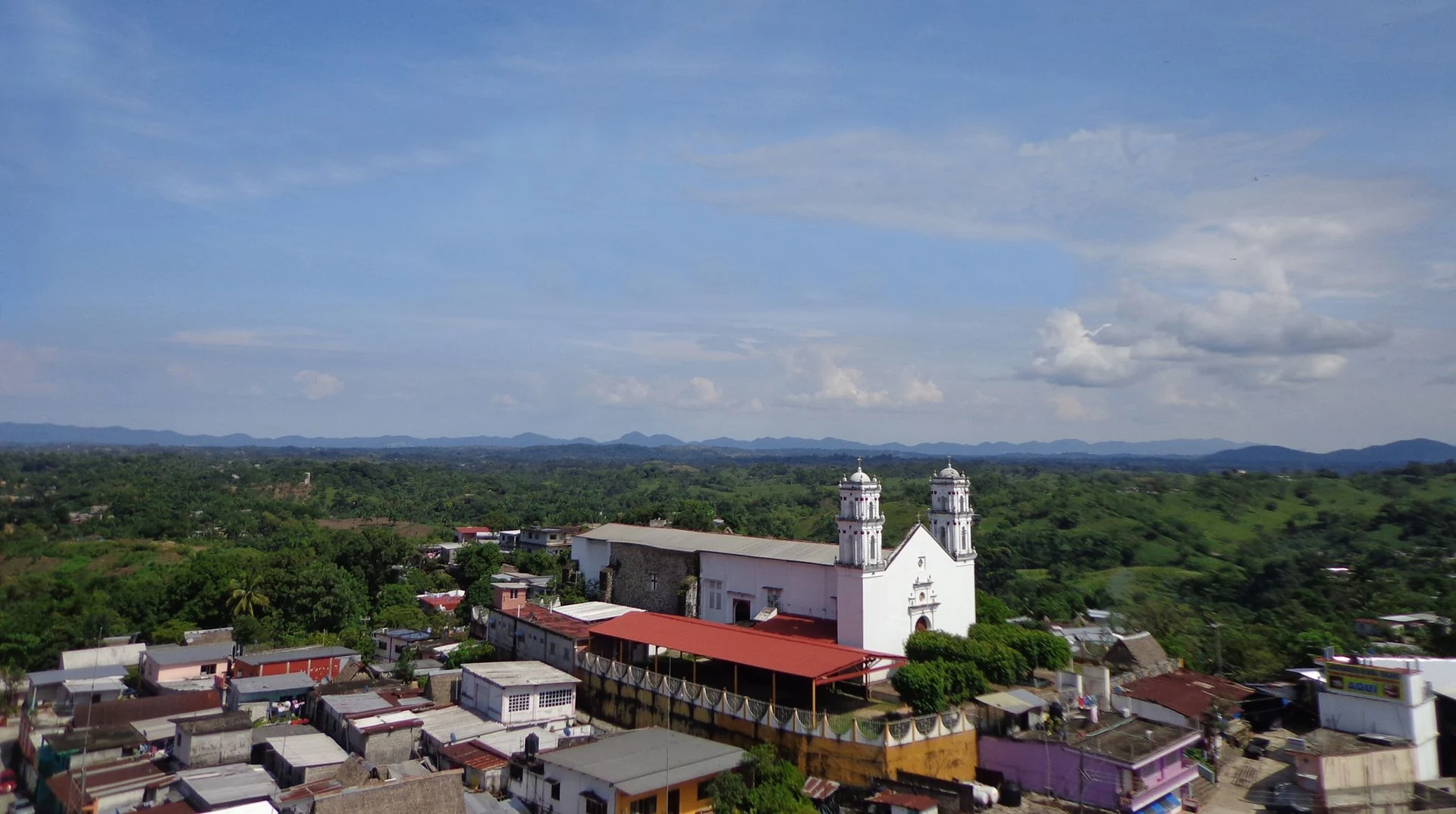


Town San Felipe Jalapa de Díaz, Oaxaca La Cañada (Oaxaca)
Mazatec seat on the Santo Domingo river at about 140 m, under Cerro Rabón: a market town known for hand-embroidered blouses and coffee.
From Tuxtepec: 1 h by car (63 km by road) How to get there ↓
Near here
See everything nearby ↓




Plan your visit to San Felipe Jalapa de Díaz
Where to stay near San Felipe Jalapa de Díaz
Compare hotels, posadas and guest houses in San Felipe Jalapa de Díaz.
Tours to San Felipe Jalapa de Díaz
Day trips around Huautla sometimes stop in San Felipe Jalapa de Díaz; a tour is the easy way to see it without a car.
How to get to San Felipe Jalapa de Díaz
- From Tuxtepec: about 1 h by road (~63 km)
- Nearest airport: Oaxaca (OAX), 3 h 34 min by car to Huautla
Links open a partner site. We may earn a commission if you book, at no cost to you.
About San Felipe Jalapa de Díaz
Jalapa de Díaz sits on the left bank of the Santo Domingo river in the Papaloapan basin, about 140 m above sea level. Cerro Rabón, roughly 1,228 m high and part of the Sierra Madre Oriental, rises directly behind the town and shows at the end of most streets. The name comes from the Nahuatl Xallapan, "in the sandy water", after the river's sandbanks; in Mazatec the town is Ntáxjo̲, "sand water". San Felipe honours San Felipe de Jesús and Díaz honours Porfirio Díaz.
According to Wikipedia, the Mazatecs kept a capital called Matza-apatl near the present site around the year 850, and the region later paid tribute to the Aztecs. The municipality was created in 1825. In 1866 Mazatec forces under Luis Pérez Figueroa beat French troops trying to take the Soyaltepec fort. A fire destroyed the main church and several houses in 1925, and in the 1930s about 15,750 hectares of the Playa Grande hacienda were redistributed.
The town counted about 6,100 people in 2010, and the municipality 27,979 in the 2015 Intercensal Survey, around 88% of them Mazatec speakers. Women embroider huipiles and blouses by hand, and a single garment can take about six weeks. The local economy is farming, mainly coffee, maize, beans and sugarcane, and the municipal market draws people from the outlying hamlets. The climate is hot, averaging 24.7 °C, with rain from June to October.
The big fiesta is San Sebastián, 18 to 20 January, with fireworks bulls, a fair, dances and horse races; San Antonio de Padua is celebrated on 13 June. At Christmas the Danza de las Pastoras is danced to violin and jarana.
How to get to San Felipe Jalapa de Díaz
Drive from Tuxtepec: 1 h, 63 km
Jalapa de Díaz lies west of San Juan Bautista Tuxtepec, about 50 to 60 km depending on the source (roughly an hour by car), along the Tuxtepec–Jalapa de Díaz road. Tuxtepec is the gateway: it is about 188 km from Oaxaca City on federal highway 175 (SEMAR) and around 6 hours by ADO bus from Oaxaca according to Rome2Rio, with buses also from Veracruz and Puebla. In Tuxtepec ask for local transport to Jalapa: We found no published timetable or line names, so confirm at the terminal.
From Huautla de Jiménez, the nearest Mazatec town in our guide, it is about 34 km in a straight line, but the mountain road is much longer and slower. In the rainy season (June to October) start early. The Tuxtepec–Jalapa road has been blocked occasionally; check before you go.
Directions to San Felipe Jalapa de Díaz on Google Maps
Distances are in a straight line; the road is usually longer.
Links open a partner site. We may earn a commission if you book, at no cost to you.
From the nearest cities to San Felipe Jalapa de Díaz
- Tuxtepec · 63 km by road, 1 h
- Orizaba · about 135 km by road, ~2 h
- Oaxaca · about 150 km by road, ~2 h 10 min
Drive times by road from OpenStreetMap, without traffic or stops. Times marked ~ are estimated from the straight-line distance.
Visiting San Felipe Jalapa de Díaz: what to see and do
Step into the parish church of the Santos Apóstoles Felipe y Santiago.
Walk the municipal market and look for hand-embroidered blouses and huipiles.
See the monument to the Mazatec woman.
Look up at Cerro Rabón from the edge of town.
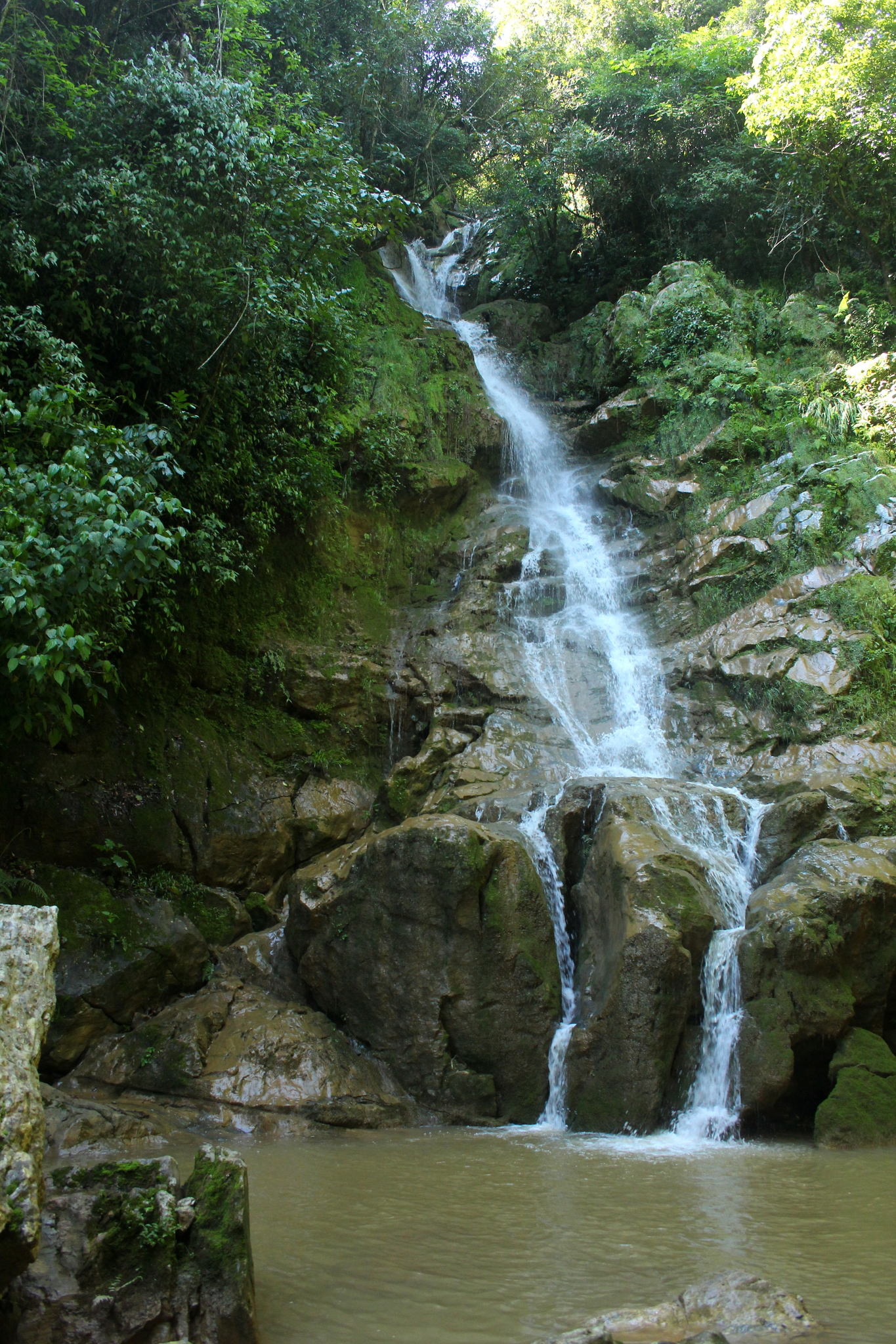
Ask about the Uluapan river waterfalls, inside the municipality.
Come on 18 to 20 January for the San Sebastián fiesta.
Plan your trip
Places to stay in San Felipe Jalapa de Díaz
Compare hotels, posadas, and rentals in and around San Felipe Jalapa de Díaz.
Tours & activities
Day trips around Huautla sometimes stop in San Felipe Jalapa de Díaz; a tour is the easy way to see it without a car.
Rental cars
Pick up a car at OAX (Oaxaca): about 3 h 34 min by road to Huautla, then 34 km more to San Felipe Jalapa de Díaz, on your own schedule.
Flights
The nearest airport with scheduled flights is Oaxaca (OAX), about 3 h 34 min by road from Huautla, the base for San Felipe Jalapa de Díaz.
Mobile data
Signal can drop away from Huautla: download a map of the way to San Felipe Jalapa de Díaz before you set out, or carry an eSIM with data.
Links open a partner site. We may earn a commission if you book, at no cost to you.
Photos
When to go to San Felipe Jalapa de Díaz mild
San Felipe Jalapa de Díaz shares the climate of Huautla, 34 km away. The best months to visit are February, March, April, and May.
See the month-by-month climate of Huautla
Weather in San Felipe Jalapa de Díaz now and the next 7 days
Live forecast from Open-Meteo. Chance of rain is the day's highest.
The closest Pueblo Mágico: Huautla

Huautla is the Pueblo Mágico closest to San Felipe Jalapa de Díaz, with places to stay, food, and more to see.
Closest to San Felipe Jalapa de Díaz
-
San Pedro Ixcatlán · Town · 9 km away
-
Presa Miguel Alemán · Lake · 11 km away
-
San Lucas Ojitlán · Town · 15 km away
-
San José Tenango · Town · 21 km away
-
Chiquihuitlán de Benito Juárez · Town · 24 km away
-
Santa María la Asunción · Town · 30 km away
-
Cerro de la Adoración · Viewpoint · 31 km away
-
Cascada de Puente de Fierro · Waterfall · 35 km away

Near San Felipe Jalapa de Díaz



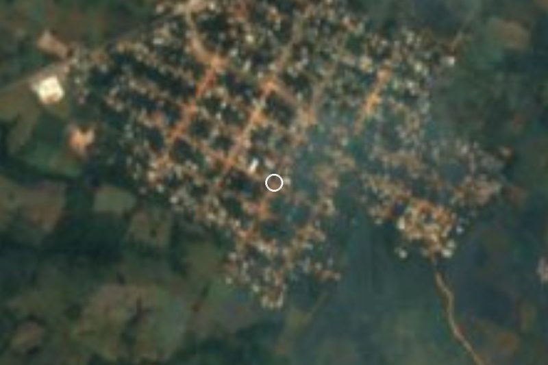

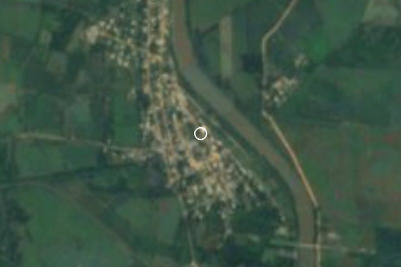

Drive times by road from OpenStreetMap, without traffic. Times marked ~ are estimated from the straight-line distance.
Location from OpenStreetMap. Written by Puebloteca.