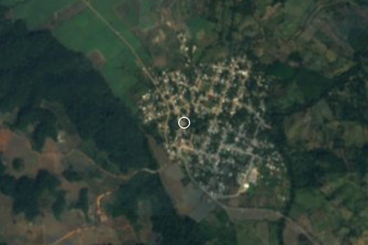
Village San Juan Bautista Tuxtepec, Oaxaca Papaloapan (Oaxaca)
Village about 22 km from Tuxtepec at 40 m above sea level, with river waterfalls and pools; a mostly evangelical community.
From Tuxtepec: 30 min by car (32 km by road) How to get there ↓
Near here
See everything nearby ↓



Plan your visit to Bethania
Where to stay near Bethania
Compare hotels, posadas and guest houses in Bethania.
Tours to Bethania
Day trips and guided outings from Capulálpam de Méndez often include Bethania; with a local guide you can get there without a car.
How to get to Bethania
- From Tuxtepec: about 30 min by road (~32 km)
- Nearest airport: Oaxaca (OAX), 1 h 27 min by car to Capulálpam de Méndez
Links open a partner site. We may earn a commission if you book, at no cost to you.
About Bethania
Bethania lies on the tropical Papaloapan plain, about 40 m above sea level, within the municipality of San Juan Bautista Tuxtepec. The population has kept growing: the 1950 census counted 397 people, 1980 counted 1,021, 2000 counted 1,931 and 2020 counted 2,147, after a dip to 1,866 in 2010.
What draws people from Tuxtepec is its waterfalls. One tourism guide describes a series of clear-water falls along the river, with streams for a dip and a wide green area beside the water for picnics, camping and walks. Another guide warns that these are rainy-season falls, strongest in spring and summer, and that the paths to them are short. April and May are usually the hottest months, when the water is most tempting.
The community is largely evangelical, and one tourism source says alcohol is strictly prohibited there; that is worth confirming with local authorities before you go. No official source publishes opening hours, fees or facilities, and road conditions change, so the sensible move is to ask at the entrance. The Zuzul eco-tourism centre, another swimming spot in the area, is a different place, in the community of Vega del Sol.
How to get to Bethania
Drive from Tuxtepec: 30 min, 32 km
Bethania is about 22 to 24 km from Tuxtepec, in the municipality of San Juan Bautista Tuxtepec. A travel guide estimates about 30 km and 30 minutes by road to the community, then short walks to the falls (approximate; the road may vary with the rain). Go to Tuxtepec first, the city with the bus station and services, and continue by car, taxi or local transport towards Bethania. We found no named bus line or colectivo that goes there, so ask in Tuxtepec. Capulálpam de Méndez is about 83 km away in a straight line, but across mountains it is not a practical trip. Put 17.9078, -96.0032 into your map app for the falls.
Directions to Bethania on Google Maps
Distances are in a straight line; the road is usually longer.
Links open a partner site. We may earn a commission if you book, at no cost to you.
From the nearest cities to Bethania
- Tuxtepec · 32 km by road, 30 min
- Oaxaca · about 160 km by road, ~2 h 20 min
- San Andrés Tuxtla · 151 km by road, 2 h 25 min
Drive times by road from OpenStreetMap, without traffic or stops. Times marked ~ are estimated from the straight-line distance.
Visiting Bethania: what to see and do
Walk down to the river's clear-water falls.
Cool off in the streams in the hot months.
Picnic on the green area beside the water.
Follow the short paths to the drops.
Bring what you need: no facilities are published.
Plan your trip
Places to stay in Bethania
Compare hotels, posadas, and rentals in and around Bethania.
Tours & activities
Day trips and guided outings from Capulálpam de Méndez often include Bethania; with a local guide you can get there without a car.
Rental cars
Pick up a car at OAX (Oaxaca): about 1 h 27 min by road to Capulálpam de Méndez, then 83 km more to Bethania, on your own schedule.
Flights
The nearest airport with scheduled flights is Oaxaca (OAX), about 1 h 27 min by road from Capulálpam de Méndez, the base for Bethania.
Mobile data
Signal can drop away from Capulálpam de Méndez: download a map of the way to Bethania before you set out, or carry an eSIM with data.
Links open a partner site. We may earn a commission if you book, at no cost to you.
When to go to Bethania cool
Bethania shares the climate of Capulálpam de Méndez, 83 km away. The best months to visit are January, February, March, and December.
See the month-by-month climate of Capulálpam de Méndez
Weather in Bethania now and the next 7 days
Live forecast from Open-Meteo. Chance of rain is the day's highest.
The closest Pueblo Mágico: Capulálpam de Méndez

Capulálpam de Méndez is the Pueblo Mágico closest to Bethania, with places to stay, food, and more to see.
Closest to Bethania
-
Loma Bonita · Town · 25 km away
-
Ayotzintepec · Town · 30 km away
-
Linda Vista · Village · 31 km away
-
El Nigromante · Village · 32 km away
-
Río Chiquito · Town · 34 km away
-
San Juan Bautista Valle Nacional · Town · 35 km away
-
Paraíso Novillero · Village · 38 km away
-
San Lucas Ojitlán · Town · 44 km away


Near Bethania



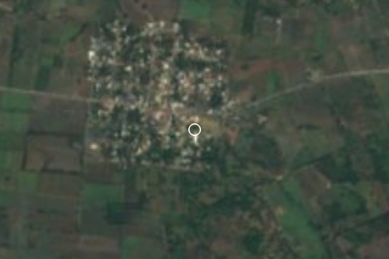


Drive times by road from OpenStreetMap, without traffic. Times marked ~ are estimated from the straight-line distance.
Location from OpenStreetMap. Written by Puebloteca.