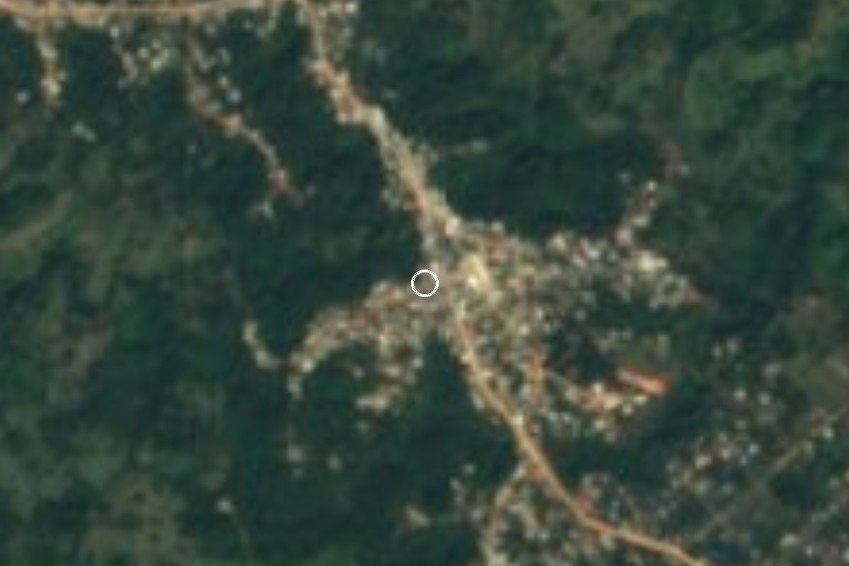
Village Playa Vicente, Veracruz Papaloapan basin
Zapotec, Chinantec and Mixe village in Playa Vicente on the Oaxaca border; brass bands and the feast of Saint Cecilia, 20 to 24 November.
From Tuxtepec: 1 h 15 min by car (75 km by road) How to get there ↓
Near here
See everything nearby ↓
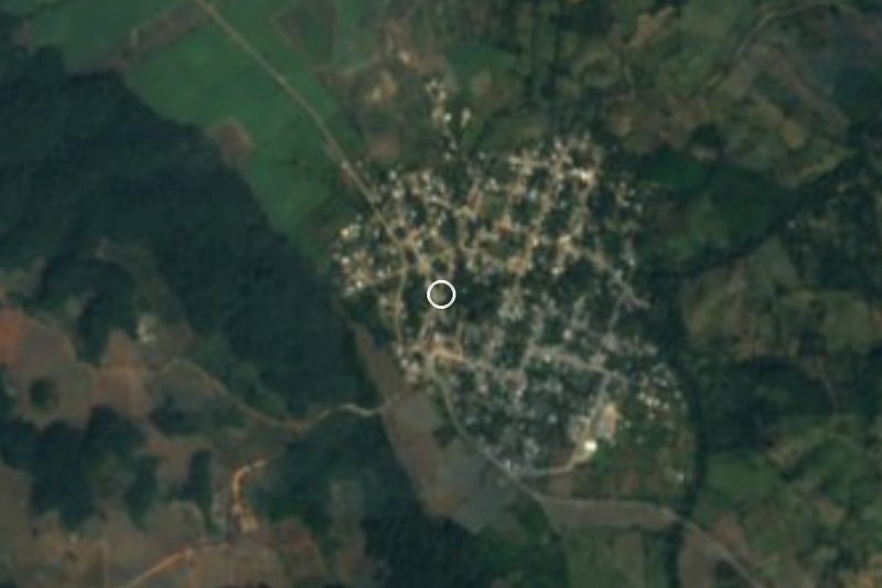
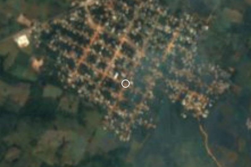


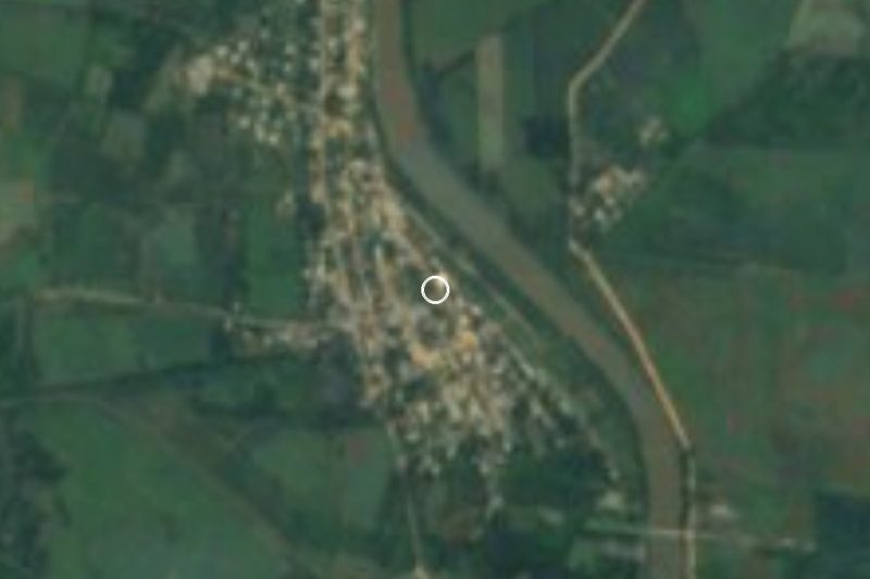
Plan your visit to El Nigromante
Where to stay near El Nigromante
Compare hotels, posadas and guest houses in El Nigromante.
Tours to El Nigromante
Day trips and guided outings from Capulálpam de Méndez often include El Nigromante; with a local guide you can get there without a car.
How to get to El Nigromante
- From Tuxtepec: about 1 h 15 min by road (~75 km)
- Nearest airport: Oaxaca (OAX), 1 h 27 min by car to Capulálpam de Méndez
Links open a partner site. We may earn a commission if you book, at no cost to you.
About El Nigromante
The village is named after the nickname of Ignacio Ramírez, "El Nigromante" (the necromancer), the 19th-century liberal poet, journalist and thinker. It lies 12 km south-southeast of Playa Vicente, at 140 metres, in the Papaloapan basin where Veracruz meets Oaxaca, and with some 2,450 people it is one of the larger communities in the municipality. It is an Indigenous community: Chinantec, Mixe and the Betaza variety of Zapotec are spoken here, and together with Arenal Santa Ana and Chilapa del Carmen it forms the heart of Playa Vicente's Zapotec area.
Music is central. The village has three brass bands that play traditional Zapotec music and four other groups, two of them known across the region. Men farm and raise cattle, communal work days (faena) are still customary, and there are potters, seamstresses, palm weavers and saddlers. For a farming village it is well equipped: a clinic, a park, a party hall, schools up to telebachillerato level, six churches and two cemeteries, one belonging to the Las Cruces neighbourhood; there is mobile phone coverage and most homes have a landline.
The patronal feast, the best known, is Saint Cecilia's, 20 to 24 November, with bands that also come from Oaxaca, dances, jaripeos and plenty of food. In late April, around Saint Mark's day, there is a gathering of bands and Indigenous dances featuring the Saltimbanquis; the Virgin of Carmen is celebrated in July (14 to 17) and Saint Michael in September (27 to 30). Local dishes include chancletas, beef broth with pata de burro (balls of masa wrapped in malote leaf and steamed), three-pointed tamales with pork in banana leaf, barbecue, caldo de rellena and cacao pozole. Within the village a stream rises from a spring known locally as Huatulco.
How to get to El Nigromante
Drive from Tuxtepec: 1 h 15 min, 75 km
The drive from Playa Vicente, the municipal seat, is about 11 km and 17 minutes: leave along Avenida 20 de Noviembre onto the state road south and enter the village along Avenida Ignacio Ramírez. From Tuxtepec, Oaxaca, the nearest city, it is about 76 km, around an hour and a quarter: take Federal Highway 175 towards Oaxaca for about 6 km, then Federal Highway 147 (Tuxtepec–Palomares) for about 61 km and finally a turn-off of some 5 km to El Nigromante. Tuxtepec has an ADO group bus terminal plus TRV and other regional lines; the last leg to El Nigromante is not covered by any timetable we found, so plan on a taxi from Playa Vicente.
Directions to El Nigromante on Google Maps
Distances are in a straight line; the road is usually longer.
Links open a partner site. We may earn a commission if you book, at no cost to you.
From the nearest cities to El Nigromante
- Tuxtepec · 75 km by road, 1 h 15 min
- San Andrés Tuxtla · 131 km by road, 2 h 15 min
- Oaxaca · about 170 km by road, ~2 h 30 min
Drive times by road from OpenStreetMap, without traffic or stops. Times marked ~ are estimated from the straight-line distance.
Visiting El Nigromante: what to see and do
The feast of Saint Cecilia, 20 to 24 November, with bands from Veracruz and Oaxaca.
The gathering of bands and Saltimbanqui dancers in late April.
The brass bands playing traditional Zapotec music.
Three-pointed tamales and cacao pozole.
The stream and spring known as Huatulco.
The Tesechoacán river at Playa Vicente, 11 km away.
Plan your trip
Places to stay in El Nigromante
Compare hotels, posadas, and rentals in and around El Nigromante.
Tours & activities
Day trips and guided outings from Capulálpam de Méndez often include El Nigromante; with a local guide you can get there without a car.
Rental cars
Pick up a car at OAX (Oaxaca): about 1 h 27 min by road to Capulálpam de Méndez, then 90 km more to El Nigromante, on your own schedule.
Flights
The nearest airport with scheduled flights is Oaxaca (OAX), about 1 h 27 min by road from Capulálpam de Méndez, the base for El Nigromante.
Mobile data
Signal can drop away from Capulálpam de Méndez: download a map of the way to El Nigromante before you set out, or carry an eSIM with data.
Links open a partner site. We may earn a commission if you book, at no cost to you.
When to go to El Nigromante cool
El Nigromante shares the climate of Capulálpam de Méndez, 90 km away. The best months to visit are January, February, March, and December.
See the month-by-month climate of Capulálpam de Méndez
Weather in El Nigromante now and the next 7 days
Live forecast from Open-Meteo. Chance of rain is the day's highest.
The closest Pueblo Mágico: Capulálpam de Méndez

Capulálpam de Méndez is the Pueblo Mágico closest to El Nigromante, with places to stay, food, and more to see.
Closest to El Nigromante
-
Río Chiquito · Town · 25 km away
-
Bethania · Village · 32 km away
-
Linda Vista · Village · 36 km away
-
Loma Bonita · Town · 40 km away
-
Ayotzintepec · Town · 41 km away
-
Tesechoacán · Village · 42 km away
Near El Nigromante


Drive times by road from OpenStreetMap, without traffic. Times marked ~ are estimated from the straight-line distance.
Location from OpenStreetMap. Written by Puebloteca.