Village Totontepec Villa de Morelos, Oaxaca Sierra Norte of Oaxaca
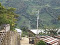
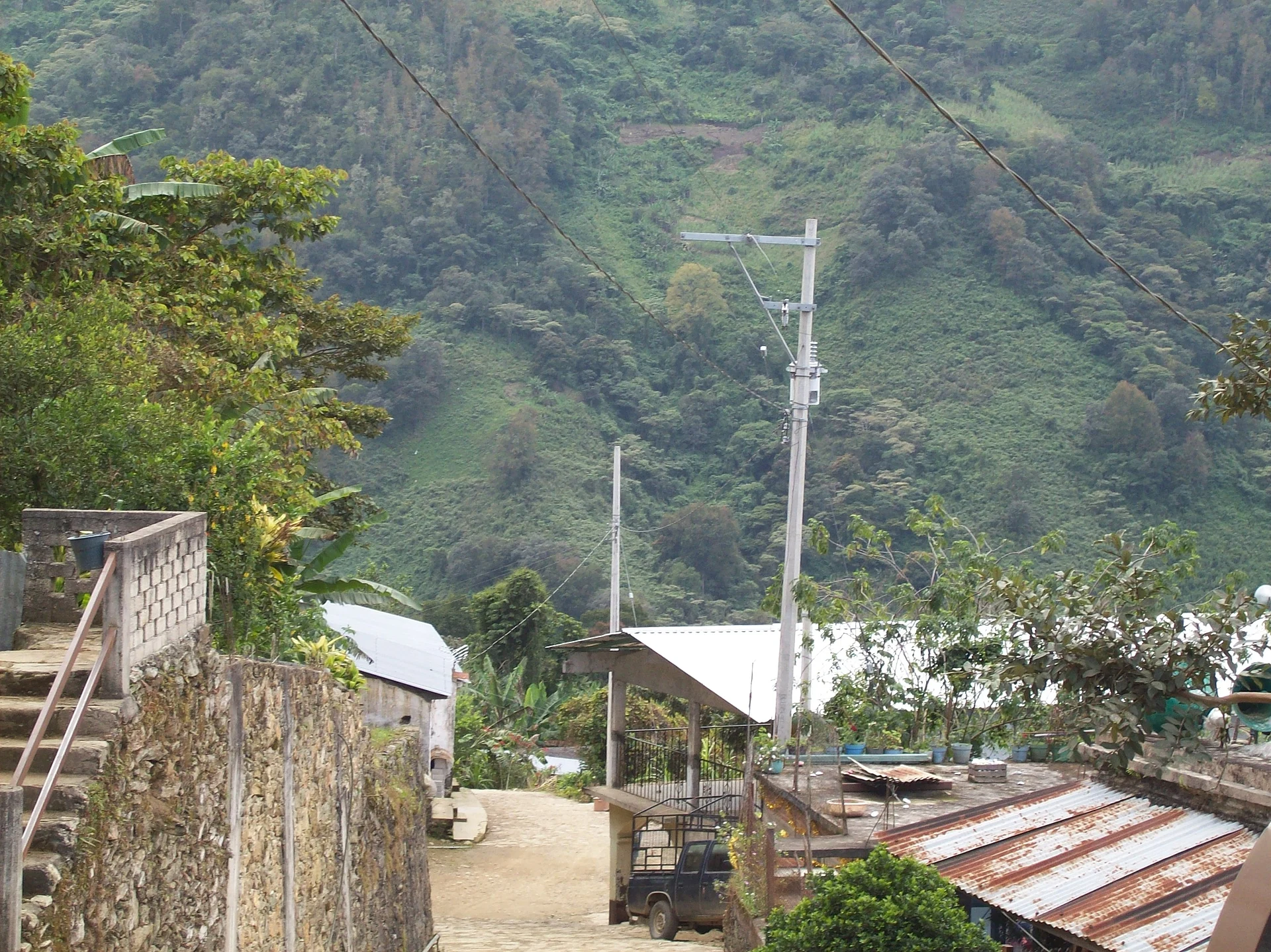
Sierra Mixe village at 1,171 m, about 7 km from Totontepec, with its San José fiesta on 11 May and views of Cerro de Algodón.
From Oaxaca: 2 h 20 min by car (163 km by road) How to get there ↓
Near here
See everything nearby ↓


Plan your visit to San José Chinantequilla
Where to stay near San José Chinantequilla
Compare hotels, posadas and guest houses in San José Chinantequilla.
Tours to San José Chinantequilla
Day trips and guided outings from Capulálpam de Méndez often include San José Chinantequilla; with a local guide you can get there without a car.
 Tours from Oaxaca City
Hierve el Agua 2.5 hours, Mitla, Tule, Rugs and Mezcal for a Day
★ 4.9 (1,558) · From US$70
How to get to San José Chinantequilla
- From Oaxaca: about 2 h 20 min by road (~163 km)
- Nearest airport: Oaxaca (OAX), 1 h 27 min by car to Capulálpam de Méndez
Links open a partner site. We may earn a commission if you book, at no cost to you.
Tours from Oaxaca City, near San José Chinantequilla


Tours, prices and ratings from Viator, checked weekly. We may earn a commission if you book.
About San José Chinantequilla
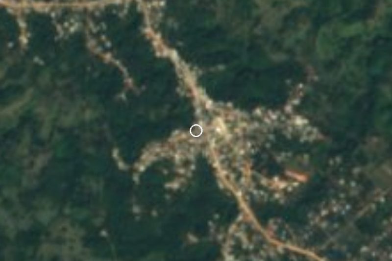
Chinantequilla clings to a hillside of the Sierra Madre de Oaxaca at 1,171 m and is a municipal agency of Totontepec Villa de Morelos, in the Mixe district. The 2020 census counted 519 people in about 127 occupied homes; roughly half of those over five speak an indigenous language and nearly all of them also speak Spanish. The closest neighbours are San Juan Comaltepec, about 3.6 km west, and Santiago Amatepec, about 4 km northeast.
The name comes from Chinantec and is usually glossed as "at the edge of the grass"; in Mixe it is written Më³eviam. Local accounts say migrants from Guanajuato founded the village around 1913, the year Ignacio Franco received the land title after a dispute with the Chinantec people of San Juan Comaltepec. A 1920 decree made it a municipal agency of Totontepec under the name Chinantequilla, and since 1969 it has been San José Chinantequilla.
People live off the land: maize, beans, bananas, fruit and vegetables, and some families distil aguardiente. There is no market in the village, so shopping is done in local shops or at the tianguis of nearby towns. The landscape is cloud forest, pine and oak, with heavy summer rain, and the best-known hill is Cerro de Algodón, 1,396 m, visible from the centre.
The main fiesta is San José on 11 May. Other dates are Day of the Dead (1 and 2 November), the Virgin of Guadalupe on 12 December and Christmas Eve, and Holy Week brings processions. Local dances include the Danza de los Negritos and the Danza de la Conquista. Typical food is machuco de semilla de calabaza, quebarajado de plátano, memelas, tamales and champurrado. There are two basketball courts, the village's sport.
How to get to San José Chinantequilla
Drive from Oaxaca: 2 h 20 min, 163 km
Chinantequilla lies in the Sierra Mixe, about 162 km from Oaxaca city (approximate; the real mountain road is longer) and about 7 km from Totontepec Villa de Morelos, the municipal seat, which sits at 1,840 m and roughly 146 km from Oaxaca. Access used to be very difficult and has improved, but we found no source with a step-by-step route or bus and colectivo timetables, so we do not name operators we cannot verify.
In practice: get to Totontepec Villa de Morelos first (ask at Oaxaca's bus terminals about departures to the Sierra Mixe), then cover the last 7 km or so to Chinantequilla. Plan on a full day of travel, leave early, carry cash and ask about road conditions before setting out, especially in the summer rainy season, when 2,500 to 3,000 mm of rain fall. There is no market in the village, so bring water and food for the day.
Directions to San José Chinantequilla on Google Maps
Distances are in a straight line; the road is usually longer.
Links open a partner site. We may earn a commission if you book, at no cost to you.
From the nearest cities to San José Chinantequilla
- Oaxaca · 163 km by road, 2 h 20 min
- Tuxtepec · 175 km by road, 2 h 45 min
- Juchitán · about 185 km by road, ~2 h 45 min
Drive times by road from OpenStreetMap, without traffic or stops. Times marked ~ are estimated from the straight-line distance.
Before you go to San José Chinantequilla: hours, prices and tips
- Best season
- Main fiesta 11 May (San José); Day of the Dead 1-2 November; Virgen de Guadalupe 12 December. Wikipedia (es) · checked Oct 2026
Hours and prices change, especially around holidays. Each fact links to where we checked it.
Visiting San José Chinantequilla: what to see and do
Walk the central street and look out over the hillside village.
Look for Cerro de Algodón (1,396 m), the village's landmark hill.
Come on 11 May for the San José fiesta.
Visit on 1 and 2 November to see the Day of the Dead offerings.
Try machuco de semilla de calabaza, memelas and champurrado.
Walk the pine and oak forest around the village.
Plan your trip
Places to stay in San José Chinantequilla
Compare hotels, posadas, and rentals in and around San José Chinantequilla.
Tours & activities
Day trips and guided outings from Capulálpam de Méndez often include San José Chinantequilla; with a local guide you can get there without a car.
Rental cars
Pick up a car at OAX (Oaxaca): about 1 h 27 min by road to Capulálpam de Méndez, then 49 km more to San José Chinantequilla, on your own schedule.
Flights
The nearest airport with scheduled flights is Oaxaca (OAX), about 1 h 27 min by road from Capulálpam de Méndez, the base for San José Chinantequilla.
Mobile data
Signal can drop away from Capulálpam de Méndez: download a map of the way to San José Chinantequilla before you set out, or carry an eSIM with data.
Links open a partner site. We may earn a commission if you book, at no cost to you.
When to go to San José Chinantequilla cool
San José Chinantequilla shares the climate of Capulálpam de Méndez, 49 km away. The best months to visit are January, February, March, and December.
See the month-by-month climate of Capulálpam de Méndez
Weather in San José Chinantequilla now and the next 7 days
Live forecast from Open-Meteo. Chance of rain is the day's highest.
The closest Pueblo Mágico: Capulálpam de Méndez

Capulálpam de Méndez is the Pueblo Mágico closest to San José Chinantequilla, with places to stay, food, and more to see.
Also close to
- Mitla · Oaxaca · 59 km away
Closest to San José Chinantequilla
-
Totontepec Villa de Morelos · Town · 7 km away
-
San Juan Yatzona · Town · 22 km away
-
Santa María Tlahuitoltepec · Village · 25 km away
-
Villa Talea de Castro · Town · 28 km away
-
Tamazulápam del Espíritu Santo · Town · 29 km away
-
San Pedro y San Pablo Ayutla · Village · 32 km away
-
San Pedro Cajonos · Town · 33 km away
-
Río Chiquito · Town · 35 km away
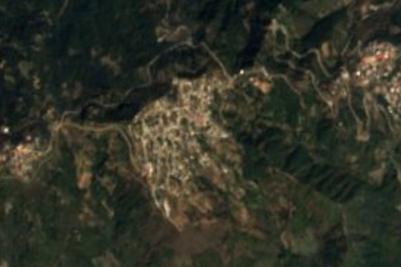

Near San José Chinantequilla


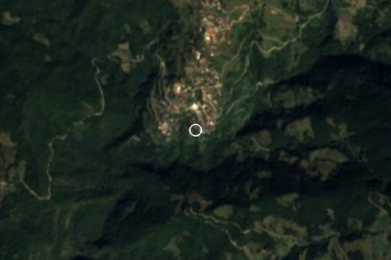


Drive times by road from OpenStreetMap, without traffic. Times marked ~ are estimated from the straight-line distance.
Location from OpenStreetMap. Written by Puebloteca.