

Town Ixtlán de Juárez, Oaxaca Sierra Norte of Oaxaca
The Sierra Juárez's main town: the Baroque church where Benito Juárez was baptized, a model community forest and an adventure park.
From Oaxaca: 1 h 5 min by car (64 km by road) How to get there ↓
Near here
See everything nearby ↓


Plan your visit to Ixtlán de Juárez
Where to stay near Ixtlán de Juárez
Los Sabinos Hotel · 5.1 km from the center Prices Posada Don Juanito Hotel · 5.2 km from the center PricesTours to Ixtlán de Juárez
Day trips around Capulálpam de Méndez sometimes stop in Ixtlán de Juárez; a tour is the easy way to see it without a car.
 Tour of the Sierra Juárez, Ixtlán, Guelatao and Capulálpam
★ 3.9 (7) · From US$128
How to get to Ixtlán de Juárez
- From Oaxaca: about 1 h 5 min by road (~64 km)
- 5 km northwest of Capulálpam de Méndez
- Nearest airport: Oaxaca (OAX), 1 h 27 min by car to Capulálpam de Méndez
Links open a partner site. We may earn a commission if you book, at no cost to you.
Popular tours to Ixtlán de Juárez
Tours, prices and ratings from Viator, checked weekly. We may earn a commission if you book.
About Ixtlán de Juárez
Ixtlán de Juárez is the main town of this part of the Sierra Norte, on Highway 175 just past Guelatao, and the one where you find the bank, the market and the bus connections. It is a Zapotec town, and about half of its people speak an indigenous language. Its name in Nahuatl is usually translated as "place of fibers."
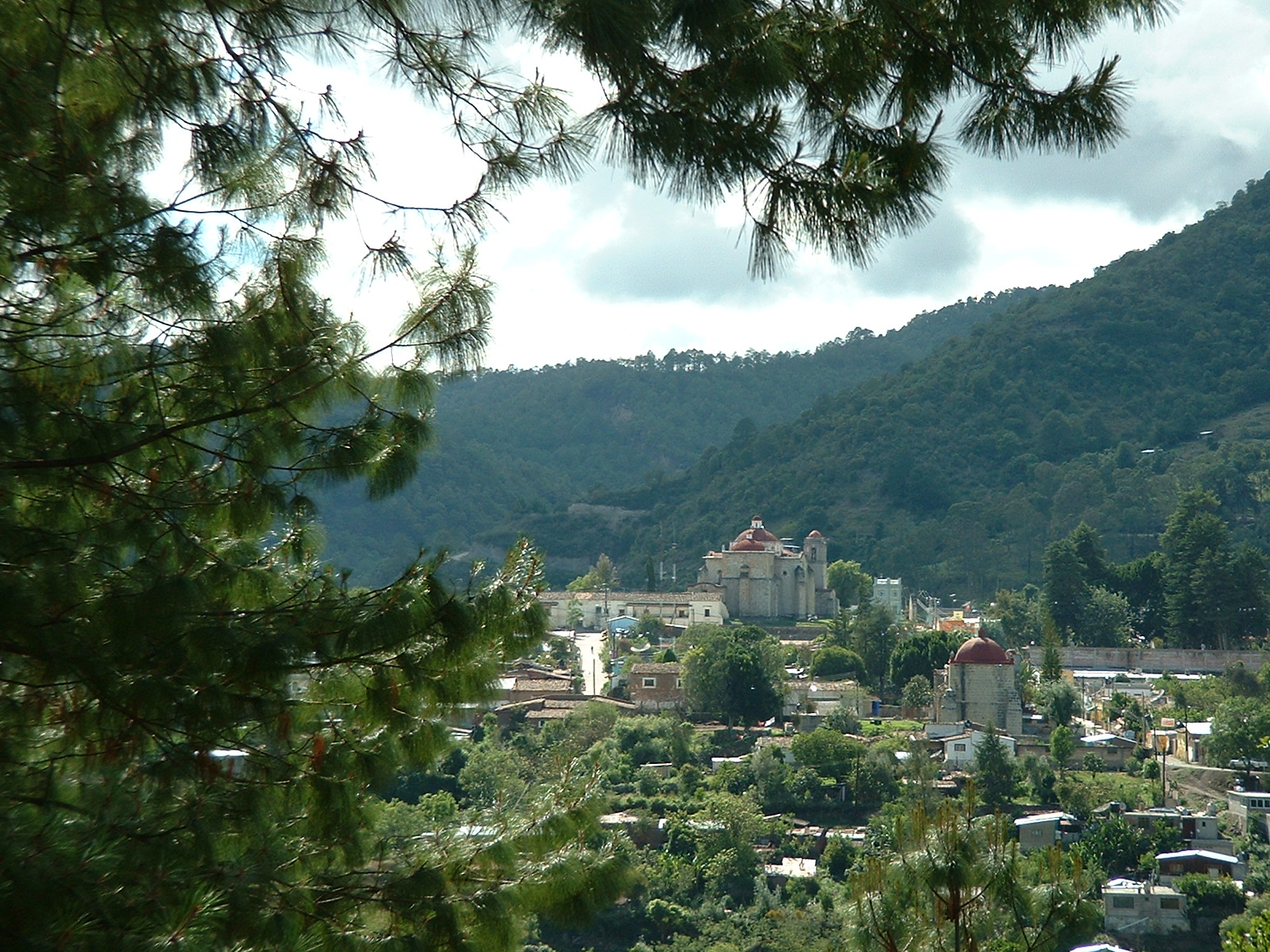
On a rise above the central plaza stands the Baroque church of Santo Tomás Apóstol, with a carved stone facade and gilded altarpieces inside. Benito Juárez, born in neighboring Guelatao, was baptized here on March 22, 1806, the day after his birth, and the town is proud of the connection. The plaza itself is decorated with big concrete sculptures of clay jars, a nod to a pottery tradition that once kept dozens of local women busy and is now carried on by very few.
Ixtlán is best known today for its forest. The community owns and manages a large stretch of pine, oak and cloud forest, logging it under a sustainable plan that has held international Forest Stewardship Council certification for about two decades, and it is often cited as a model of community forestry in Mexico. The community also runs Ecoturixtlán, a tourism center with cabins, hiking trails, rappelling and zip lines in the forest.
How to get to Ixtlán de Juárez
Drive from Oaxaca: 1 h 5 min, 64 km
Ixtlán is about 15 minutes from Capulálpam by car or taxi: drive down to Highway 175 and head north past Guelatao. Buses and vans from Oaxaca City to the Sierra Norte stop in Ixtlán, roughly an hour and a half from the capital, and taxis connect it with Capulálpam.
5 km northwest of Capulálpam de Méndez
Directions from Capulálpam de Méndez on Google Maps
Distances are in a straight line; the road is usually longer.
Links open a partner site. We may earn a commission if you book, at no cost to you.
From the nearest cities to Ixtlán de Juárez
- Oaxaca · 64 km by road, 1 h 5 min
- Tuxtepec · 156 km by road, 2 h 25 min
- Tehuacán · about 205 km by road, ~3 h
Drive times by road from OpenStreetMap, without traffic or stops. Times marked ~ are estimated from the straight-line distance.
Before you go to Ixtlán de Juárez: hours, prices and tips
- Best season
- Winter (December to February) is pitched as the time to come: cold, misty cloud forest, and cabins with fireplaces. Tus Buenas Noticias · checked Oct 2026
- Guide or tour
- Local ecotourism guides offer walks, bike rides, horseback rides and vehicle tours through the community forest. Tours: Viator GetYourGuide UnoTV · checked Oct 2026
Hours and prices change, especially around holidays. Each fact links to where we checked it.
Visiting Ixtlán de Juárez: what to see and do
Visit the church of Santo Tomás Apóstol, where Benito Juárez was baptized.
Walk around the central plaza with its giant clay-jar sculptures.
Spend a day at Ecoturixtlán for forest trails, rappelling and zip lines.
Stock up at the market before heading into the smaller mountain villages.
Plan your trip
Places to stay in Ixtlán de Juárez
Los Sabinos Hotel · 5.1 km from the center Find on Expedia Posada Don Juanito Hotel · 5.2 km from the center Find on Expedia Hotel Chorromonte Hotel · 5.3 km from the center Find on Expedia Cabañas Amatlán Hotel · 6.0 km from the center Find on Expedia Cabañas Hotel · 7.1 km from the center Find on Expedia Hostal Yaa-Letzi Hostel · 220 m from the center Find on ExpediaTours & activities
Day trips around Capulálpam de Méndez sometimes stop in Ixtlán de Juárez; a tour is the easy way to see it without a car.
Rental cars
Pick up a car at OAX (Oaxaca): about 1 h 27 min by road to Capulálpam de Méndez, then 5 km more to Ixtlán de Juárez, on your own schedule.
Flights
The nearest airport with scheduled flights is Oaxaca (OAX), about 1 h 27 min by road from Capulálpam de Méndez, the base for Ixtlán de Juárez.
Mobile data
Signal can drop away from Capulálpam de Méndez: download a map of the way to Ixtlán de Juárez before you set out, or carry an eSIM with data.
Links open a partner site. We may earn a commission if you book, at no cost to you. Hotel names from OpenStreetMap.
Photos
When to go to Ixtlán de Juárez cool
Ixtlán de Juárez shares the climate of Capulálpam de Méndez, 5 km away. The best months to visit are January, February, March, and December.
See the month-by-month climate of Capulálpam de Méndez
Weather in Ixtlán de Juárez now and the next 7 days
Live forecast from Open-Meteo. Chance of rain is the day's highest.
Make Capulálpam de Méndez your base

Ixtlán de Juárez is an easy trip from Capulálpam de Méndez, a Pueblo Mágico with places to stay, food, and more to see.
Also close to
- Mitla · Oaxaca · 47 km away
Closest to Ixtlán de Juárez
-
Guelatao de Juárez · Town · 2 km away
-
Santa María Jaltianguis · Town · 5 km away · Oaxaca
-
Lachatao · Town · 7 km away
-
San Juan Evangelista Analco · Village · 10 km away · Oaxaca
-
Santa Catarina Ixtepeji · Town · 11 km away · Oaxaca
-
San Miguel Yotao · Village · 17 km away · Oaxaca
-
Llano Grande · Village · 22 km away · Oaxaca
-
Pueblos Mancomunados · Nature reserve · 24 km away
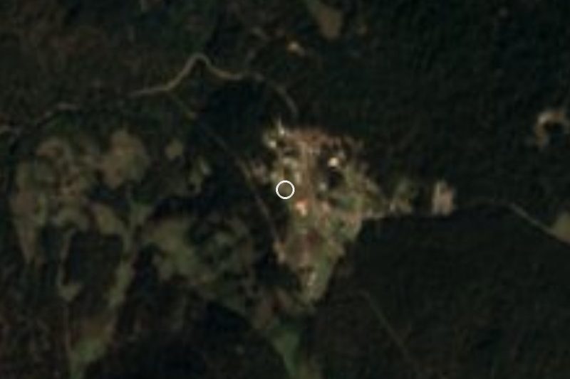

Near Ixtlán de Juárez


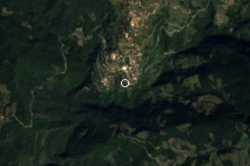


Drive times by road from OpenStreetMap, without traffic. Times marked ~ are estimated from the straight-line distance.
Something wrong or missing on this page? Suggest a fix or addition
Location from OpenStreetMap. Written by Puebloteca.