

Town Totontepec Villa de Morelos, Oaxaca Sierra Norte of Oaxaca
Mixe town at 1,840 m in the Sierra Norte, below the Peña del Trueno rock; about 146 km from Oaxaca city on mountain roads.
From Oaxaca: 2 h 5 min by car (147 km by road) How to get there ↓
Near here
See everything nearby ↓


Plan your visit to Totontepec Villa de Morelos
Where to stay near Totontepec Villa de Morelos
Compare hotels, posadas and guest houses in Totontepec Villa de Morelos.
Tours to Totontepec Villa de Morelos
Day trips around Capulálpam de Méndez sometimes stop in Totontepec Villa de Morelos; a tour is the easy way to see it without a car.
How to get to Totontepec Villa de Morelos
- From Oaxaca: about 2 h 5 min by road (~147 km)
- Nearest airport: Oaxaca (OAX), 1 h 27 min by car to Capulálpam de Méndez
Links open a partner site. We may earn a commission if you book, at no cost to you.
About Totontepec Villa de Morelos
Totontepec climbs a slope of the Sierra Mixe at roughly 1,840 m, and from almost any street you can see the Peña del Trueno, the rock the townspeople treat as their protector, also called La Mitra. Locals walk up to light candles and look back over the town. The community's Mixe name is Anyukojm; the Nahuatl-derived name is usually translated as "hot hill".
It is the seat of a municipality of about 319 square kilometres with 15 localities and nearly 5,900 people in 2020, of whom 1,711 lived in the town itself. Around 98% of residents aged five and over speak an indigenous language, mostly Mixe, and the municipality is governed by customary law (usos y costumbres). The terrain is very rugged, from about 1,000 m to over 3,300 m, and rain is heavy, 2,500 to 3,000 mm a year, with an average temperature near 17 °C. The Toro, San José and Colorado rivers run through the municipality, and the twenty-peaked Zempoaltépetl rises to the south.
The Catholic church dates from 1900; a fire destroyed its roof and it was rebuilt between 1979 and 1983. Work on the municipal palace began in 1907. The big festivals are San Sebastián Mártir on 10 to 23 January and the Virgen de la Asunción on 5 to 18 August, with dances such as the Negritos, Moros y Cristianos and La Conquista. Local food includes corn tamales in beef, chicken or turkey broth and bean tamales; crafts include vine and wicker baskets and masks.
How to get to Totontepec Villa de Morelos
Drive from Oaxaca: 2 h 5 min, 147 km
Totontepec is about 146 km from Oaxaca city (Wikipedia) and about 45 km in a straight line from Capulálpam de Méndez, but the terrain is so rugged that road distances are much longer and the mountain roads are slow; plan on a long trip of several hours from the capital (approximate time, not verified). The route enters the Sierra Mixe on mountain roads (we found no published description of the drive; ask in Oaxaca or Mitla); check road conditions before you set out, especially in the rainy season, May to October, when up to 3,000 mm falls a year. We found no published bus timetables: ask at Oaxaca's second-class terminal or in Mitla about transport into the Sierra Mixe and about local pickups or colectivos for the last stretch. Bring cash and warm clothes: nights at 1,840 m are cool.
Directions to Totontepec Villa de Morelos on Google Maps
Distances are in a straight line; the road is usually longer.
Links open a partner site. We may earn a commission if you book, at no cost to you.
From the nearest cities to Totontepec Villa de Morelos
- Oaxaca · 147 km by road, 2 h 5 min
- Juchitán · about 185 km by road, ~2 h 40 min
- Tuxtepec · 192 km by road, 3 h
Drive times by road from OpenStreetMap, without traffic or stops. Times marked ~ are estimated from the straight-line distance.
Before you go to Totontepec Villa de Morelos: hours, prices and tips
- Best time of day
- The patron festivals run 10 to 23 January (San Sebastián Mártir) and 5 to 18 August (Virgen de la Asunción). Wikipedia · checked Oct 2026
Hours and prices change, especially around holidays. Each fact links to where we checked it.
Visiting Totontepec Villa de Morelos: what to see and do
Climb the Peña del Trueno (La Mitra) for a view over the town.
Visit the church, rebuilt between 1979 and 1983.
See the municipal palace, whose reconstruction began in 1907.
Come in January or August for the San Sebastián and Asunción festivals.
Try bean tamales or tamales in turkey broth at the market and the fondas.
Look for vine and wicker baskets.
Plan your trip
Places to stay in Totontepec Villa de Morelos
Compare hotels, posadas, and rentals in and around Totontepec Villa de Morelos.
Tours & activities
Day trips around Capulálpam de Méndez sometimes stop in Totontepec Villa de Morelos; a tour is the easy way to see it without a car.
Rental cars
Pick up a car at OAX (Oaxaca): about 1 h 27 min by road to Capulálpam de Méndez, then 45 km more to Totontepec Villa de Morelos, on your own schedule.
Flights
The nearest airport with scheduled flights is Oaxaca (OAX), about 1 h 27 min by road from Capulálpam de Méndez, the base for Totontepec Villa de Morelos.
Mobile data
Signal can drop away from Capulálpam de Méndez: download a map of the way to Totontepec Villa de Morelos before you set out, or carry an eSIM with data.
Links open a partner site. We may earn a commission if you book, at no cost to you.
When to go to Totontepec Villa de Morelos cool
Totontepec Villa de Morelos shares the climate of Capulálpam de Méndez, 45 km away. The best months to visit are January, February, March, and December.
See the month-by-month climate of Capulálpam de Méndez
Weather in Totontepec Villa de Morelos now and the next 7 days
Live forecast from Open-Meteo. Chance of rain is the day's highest.
The closest Pueblo Mágico: Capulálpam de Méndez

Capulálpam de Méndez is the Pueblo Mágico closest to Totontepec Villa de Morelos, with places to stay, food, and more to see.
Also close to
- Mitla · Oaxaca · 52 km away
Closest to Totontepec Villa de Morelos
-
San José Chinantequilla · Village · 7 km away
-
Santa María Tlahuitoltepec · Village · 18 km away
-
San Juan Yatzona · Town · 22 km away
-
Tamazulápam del Espíritu Santo · Town · 23 km away
-
San Pedro y San Pablo Ayutla · Village · 26 km away
-
Villa Talea de Castro · Town · 26 km away
-
San Pedro Cajonos · Town · 27 km away
-
San Miguel Yotao · Village · 35 km away
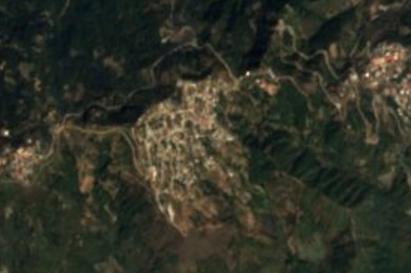

Near Totontepec Villa de Morelos


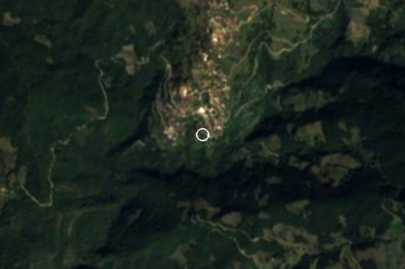


Drive times by road from OpenStreetMap, without traffic. Times marked ~ are estimated from the straight-line distance.
Location from OpenStreetMap. Written by Puebloteca.