Village Santa María Tlahuitoltepec, Oaxaca Central Valleys of Oaxaca
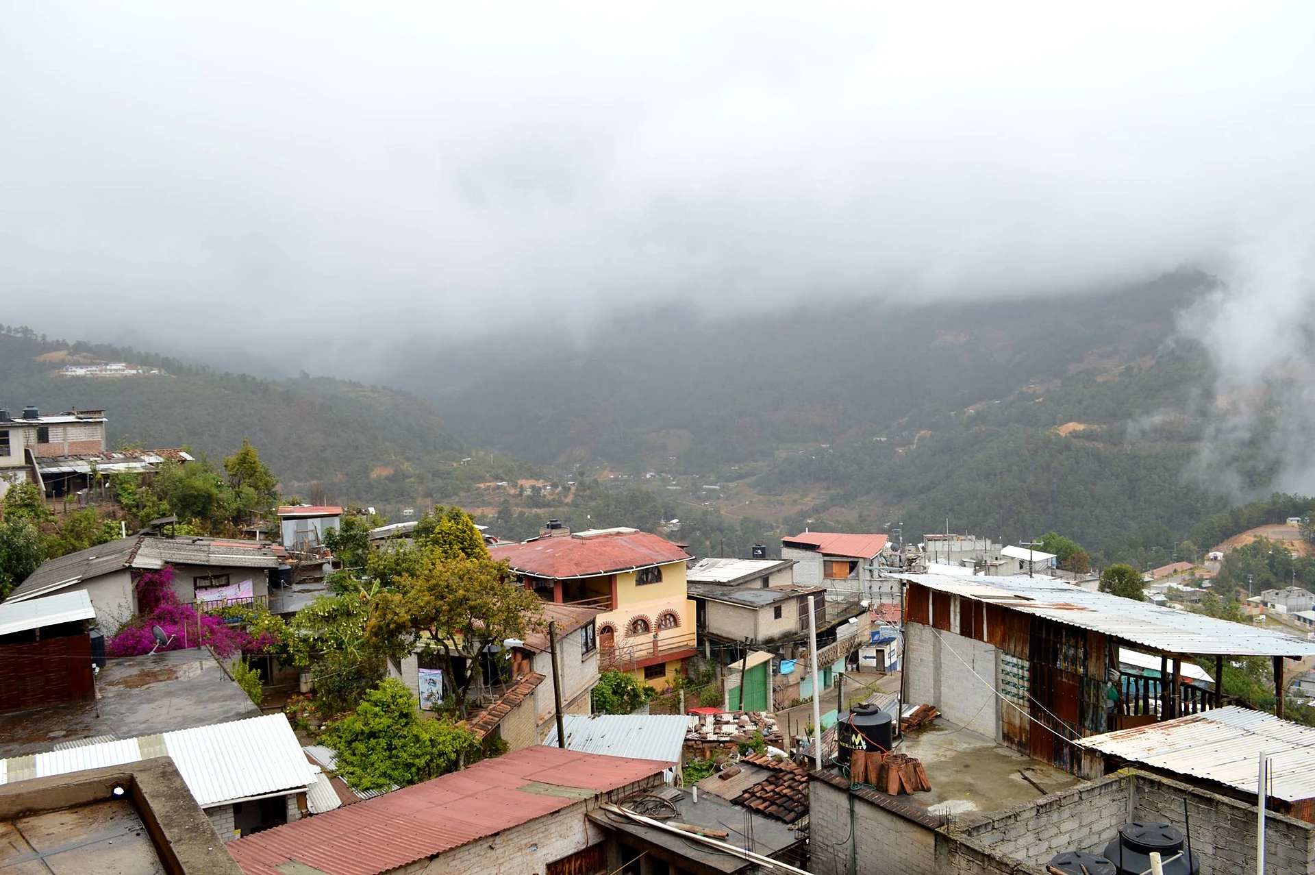
Mixe seat at 2,239 m in the Sierra Norte, known for its music school (CECAM, since 1977) and its brass bands.
From Oaxaca: 1 h 35 min by car (114 km by road) How to get there ↓
Near here
See everything nearby ↓




Plan your visit to Santa María Tlahuitoltepec
Where to stay near Santa María Tlahuitoltepec
Compare hotels, posadas and guest houses in Santa María Tlahuitoltepec.
Tours to Santa María Tlahuitoltepec
Day trips and guided outings from Mitla often include Santa María Tlahuitoltepec; with a local guide you can get there without a car.
How to get to Santa María Tlahuitoltepec
- From Oaxaca: about 1 h 35 min by road (~114 km)
- Nearest airport: Oaxaca (OAX), 47 min by car to Mitla
Links open a partner site. We may earn a commission if you book, at no cost to you.
About Santa María Tlahuitoltepec
Tlahuitoltepec sits at about 2,239 m in the Sierra Mixe, part of Oaxaca's Sierra Norte, and is the seat of the municipality of the same name. The 2010 census counted 3,452 people in the town, and the 2015 intercensal survey 8,922 in the whole municipality. People speak Ayuujk, the Mixe language, and the town is run by customary law: assemblies elect communal, land, school and church authorities, and tequio, shared community labour, still builds public works and festivities.
Oral tradition says the ancestors walked toward the sacred mountain, Cempoaltépetl, and that a peacock flew off the peak and landed in a watered clearing; the people read it as a sign and stayed. According to Spanish Wikipedia, the patron-saint fiesta includes a visit to Cempoaltépetl. The hills produce tejocotes, called pakwäj in Mixe.
Music is what the town is known for. The Centro de Capacitación Musical y Desarrollo de la Cultura Mixe (CECAM) has run since 1977, with a children's programme, an induction level for secondary-school graduates, and a professional technical course in Oaxacan traditional music certified with INBAL. Its Banda Filarmónica plays concerts and patron-saint fiestas. A Oaxaca cultural-tour listing says the town has six music schools and that nearly everyone plays an instrument. In 2010 Tropical Storm Matthew hit the town with landslides.
How to get to Santa María Tlahuitoltepec
Drive from Oaxaca: 1 h 35 min, 114 km
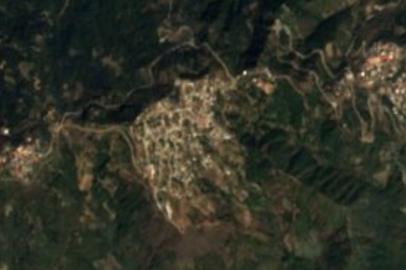
Tlahuitoltepec is in the Sierra Mixe, about 70 miles (roughly 110 km by road, per a tour operator) east of Oaxaca city. The route climbs through Ayutla, the Mixe district seat, on a long, winding mountain road; a Oaxaca cultural-tour listing puts the drive at about three hours each way. In a straight line Oaxaca is about 71 km away and Mitla about 38 km, but the real road is far longer.
We could not find a reliably sourced bus or colectivo company or schedule: ask in Oaxaca city for the vehicles that leave for the Sierra Mixe and Ayutla, and confirm the last return of the day. Bring something for motion sickness and a jacket; it is often cold and windy at this altitude.
Directions to Santa María Tlahuitoltepec on Google Maps
Distances are in a straight line; the road is usually longer.
Links open a partner site. We may earn a commission if you book, at no cost to you.
From the nearest cities to Santa María Tlahuitoltepec
- Oaxaca · 114 km by road, 1 h 35 min
- Tuxtepec · about 145 km by road, ~2 h 10 min
- Salina Cruz · 204 km by road, 2 h 40 min
Drive times by road from OpenStreetMap, without traffic or stops. Times marked ~ are estimated from the straight-line distance.
Visiting Santa María Tlahuitoltepec: what to see and do
Hear a philharmonic band at a patron-saint fiesta.
Ask about CECAM, the Mixe music school founded in 1977.
Look over the sierra from the upper streets.
Look for textiles made in the community.
Climb Cempoaltépetl, the sacred peak, with a local guide around fiesta time.
Plan your trip
Places to stay in Santa María Tlahuitoltepec
Compare hotels, posadas, and rentals in and around Santa María Tlahuitoltepec.
Tours & activities
Day trips and guided outings from Mitla often include Santa María Tlahuitoltepec; with a local guide you can get there without a car.
Rental cars
Pick up a car at OAX (Oaxaca): about 47 min by road to Mitla, then 38 km more to Santa María Tlahuitoltepec, on your own schedule.
Flights
The nearest airport with scheduled flights is Oaxaca (OAX), about 47 min by road from Mitla, the base for Santa María Tlahuitoltepec.
Mobile data
Signal can drop away from Mitla: download a map of the way to Santa María Tlahuitoltepec before you set out, or carry an eSIM with data.
Links open a partner site. We may earn a commission if you book, at no cost to you.
When to go to Santa María Tlahuitoltepec mild
Santa María Tlahuitoltepec shares the climate of Mitla, 38 km away. The best months to visit are January, February, March, and December.
See the month-by-month climate of Mitla
Weather in Santa María Tlahuitoltepec now and the next 7 days
Live forecast from Open-Meteo. Chance of rain is the day's highest.
The closest Pueblo Mágico: Mitla

Mitla is the Pueblo Mágico closest to Santa María Tlahuitoltepec, with places to stay, food, and more to see.
Also close to
- Capulálpam de Méndez · Oaxaca · 47 km away
Closest to Santa María Tlahuitoltepec
-
Tamazulápam del Espíritu Santo · Town · 4 km away
-
San Pedro y San Pablo Ayutla · Village · 8 km away
-
Totontepec Villa de Morelos · Town · 18 km away
-
San Pedro Cajonos · Town · 23 km away
-
San José Chinantequilla · Village · 25 km away
-
Santa Catarina Albarradas · Town · 26 km away
-
Hierve el Agua · Nature reserve · 34 km away
-
San Isidro Roaguía · Village · 34 km away


Near Santa María Tlahuitoltepec


Drive times by road from OpenStreetMap, without traffic. Times marked ~ are estimated from the straight-line distance.
Location from OpenStreetMap. Written by Puebloteca.