

Village San Miguel Yotao, Oaxaca Sierra Norte of Oaxaca
Zapotec community in the Sierra Juárez at 1,433 m, 452 residents, rain almost all year and ridge walks to the west.
From Oaxaca: 3 h by car (136 km by road) How to get there ↓
Near here
See everything nearby ↓


Plan your visit to San Miguel Yotao
Where to stay near San Miguel Yotao
Compare hotels, posadas and guest houses in San Miguel Yotao.
Tours to San Miguel Yotao
Day trips and guided outings from Capulálpam de Méndez often include San Miguel Yotao; with a local guide you can get there without a car.
 Tours from Oaxaca City
Hierve el Agua 2.5 hours, Mitla, Tule, Rugs and Mezcal for a Day
★ 4.9 (1,558) · From US$70
How to get to San Miguel Yotao
- From Oaxaca: about 3 h by road (~136 km)
- Nearest airport: Oaxaca (OAX), 1 h 27 min by car to Capulálpam de Méndez
Links open a partner site. We may earn a commission if you book, at no cost to you.
Tours from Oaxaca City, near San Miguel Yotao


Tours, prices and ratings from Viator, checked weekly. We may earn a commission if you book.
About San Miguel Yotao
The name Yotao comes from Sierra Zapotec and means river of ears of grain. The village stands at about 1,430 metres in the Sierra Norte, in the Ixtlán district, and local accounts say it was founded around 1600 by people from San Pedro Nexicho. In 1844 it appears as a settlement of the Tanetze parish in the Villa Alta district; in 1858 it fell under the Villa Juárez district, and by 1891 it had its own ayuntamiento in the Ixtlán district.
Today 452 people live here (545 in 2010, 565 in 2005), almost all indigenous: 99% identify as such, nearly 89% speak an indigenous language, and about 7% do not speak Spanish. There are some 138 homes, nearly all with electricity and piped water, but barely one household in a hundred had a car or internet, and mobile signal reaches about half the homes.
This is a country of mist and rain: the climate is temperate highland, with a mean annual temperature of 18.6 °C and more than 2,000 mm of rain falling on about 300 days a year; September is the wettest month and May the warmest. A few kilometres to the west rise Cerro Pelado (2,899 m) and Cerro Tazuga (2,364 m), and Tanetze de Zaragoza lies about 4 km south.
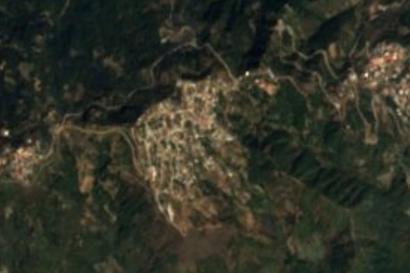
Other communities are very close, such as La Yee and Santa María Laguiche, under 500 m away, and Santo Domingo Cacalotepec, about 3 km. The photo on this page, taken in 2008, shows the sierra around the village.
How to get to San Miguel Yotao
Drive from Oaxaca: 3 h, 136 km
San Miguel Yotao is in the Sierra Juárez and is reached from the Ixtlán de Juárez side, off federal highway 175 Oaxaca-Tuxtepec. From Oaxaca's first-class bus terminal (Calzada Niños Héroes de Chapultepec), the Cuenca line (ADO group) runs direct buses to Ixtlán de Juárez, about 10 a day, taking aprox. 90 minutes and costing around 100 pesos, according to Wikivoyage. Ixtlán is about 16 km from Yotao on a mountain road (aprox. 15 to 25 minutes by car); Capulálpam de Méndez lies about 21 to 26 km away.
We found no timetable or public transport line that goes all the way to Yotao: ask in Ixtlán for pickups or taxis heading to the village, or hire a taxi. By car from Oaxaca it is aprox. 54 km as the crow flies, and through the sierra well over an hour; the last stretch is mountain road and, with mist or rain (most of the year), you should drive slowly. Mobile signal is patchy: save the map offline.
Directions to San Miguel Yotao on Google Maps
Distances are in a straight line; the road is usually longer.
Links open a partner site. We may earn a commission if you book, at no cost to you.
From the nearest cities to San Miguel Yotao
- Oaxaca · 136 km by road, 3 h
- Tehuacán · about 215 km by road, ~3 h 10 min
- San Andrés Tuxtla · about 220 km by road, ~3 h 15 min
Drive times by road from OpenStreetMap, without traffic or stops. Times marked ~ are estimated from the straight-line distance.
Visiting San Miguel Yotao: what to see and do
Look over the sierra from the village entrance, best in the morning when the mist lifts.
Head up toward Cerro Tazuga and Cerro Pelado to the west (walks of roughly 1 to 1.5 hours; go with someone from the village).
Walk to La Yee, Santa María Laguiche or Santo Domingo Cacalotepec, all within 3 km.
Listen for Zapotec in the plaza and shop: nearly nine in ten residents speak it.
Combine it with Capulálpam de Méndez or Ixtlán and make Yotao a stop on the day.
Plan your trip
Places to stay in San Miguel Yotao
Compare hotels, posadas, and rentals in and around San Miguel Yotao.
Tours & activities
Day trips and guided outings from Capulálpam de Méndez often include San Miguel Yotao; with a local guide you can get there without a car.
Rental cars
Pick up a car at OAX (Oaxaca): about 1 h 27 min by road to Capulálpam de Méndez, then 14 km more to San Miguel Yotao, on your own schedule.
Flights
The nearest airport with scheduled flights is Oaxaca (OAX), about 1 h 27 min by road from Capulálpam de Méndez, the base for San Miguel Yotao.
Mobile data
Signal can drop away from Capulálpam de Méndez: download a map of the way to San Miguel Yotao before you set out, or carry an eSIM with data.
Links open a partner site. We may earn a commission if you book, at no cost to you.
When to go to San Miguel Yotao cool
San Miguel Yotao shares the climate of Capulálpam de Méndez, 14 km away. The best months to visit are January, February, March, and December.
See the month-by-month climate of Capulálpam de Méndez
Weather in San Miguel Yotao now and the next 7 days
Live forecast from Open-Meteo. Chance of rain is the day's highest.
The closest Pueblo Mágico: Capulálpam de Méndez

Capulálpam de Méndez is the Pueblo Mágico closest to San Miguel Yotao, with places to stay, food, and more to see.
Also close to
- Mitla · Oaxaca · 50 km away
Closest to San Miguel Yotao
-
Villa Talea de Castro · Town · 9 km away
-
Ixtlán de Juárez · Town · 17 km away
-
Guelatao de Juárez · Town · 18 km away
-
Lachatao · Town · 18 km away
-
San Juan Yatzona · Town · 18 km away
-
Santa María Jaltianguis · Town · 20 km away
-
San Juan Evangelista Analco · Village · 22 km away
-
San Pedro Cajonos · Town · 24 km away

Near San Miguel Yotao





Drive times by road from OpenStreetMap, without traffic. Times marked ~ are estimated from the straight-line distance.
Location from OpenStreetMap. Written by Puebloteca.