
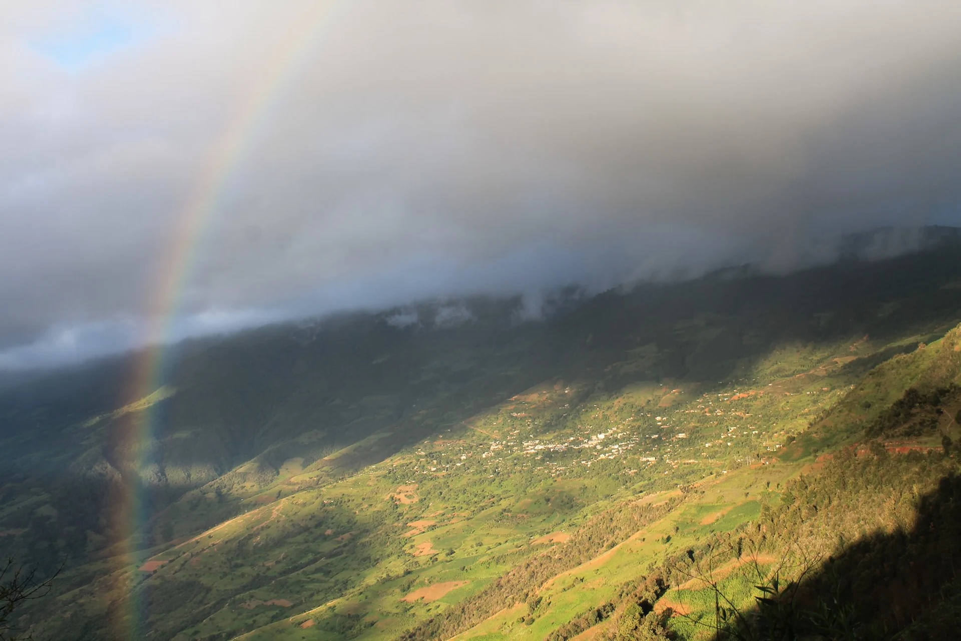
Town Santos Reyes Pápalo, Oaxaca Central Valleys of Oaxaca
Cuicatec town at 2,104 m in the Sierra de Flores Magón; "place of butterflies", known for red clay pottery and embroidery.
From Orizaba: about 2 h 15 min by road (~155 km) How to get there ↓
Near here
See everything nearby ↓



Plan your visit to Santos Reyes Pápalo
Where to stay near Santos Reyes Pápalo
Compare hotels, posadas and guest houses in Santos Reyes Pápalo.
Tours to Santos Reyes Pápalo
Day trips around Huautla sometimes stop in Santos Reyes Pápalo; a tour is the easy way to see it without a car.
 Tours from Oaxaca City
Hierve el Agua 2.5 hours, Mitla, Tule, Rugs and Mezcal for a Day
★ 4.9 (1,558) · From US$70
How to get to Santos Reyes Pápalo
- From Orizaba: about 2 h 15 min by road (~155 km)
- Nearest airport: Oaxaca (OAX), 3 h 34 min by car to Huautla
Links open a partner site. We may earn a commission if you book, at no cost to you.
Tours from Oaxaca City, near Santos Reyes Pápalo


Tours, prices and ratings from Viator, checked weekly. We may earn a commission if you book.
About Santos Reyes Pápalo
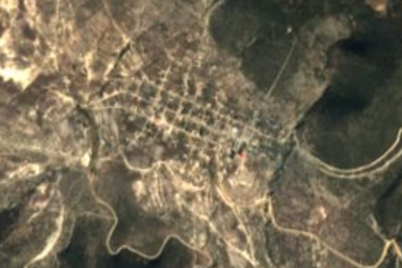
Pápalo comes from Nahuatl papalotl, butterfly, plus the locative -co: "place of butterflies". Santos Reyes refers to the Three Kings, the town's patrons. It sits at 2,104 metres in the Cuicatlán district, inside the Sierra de Flores Magón region of northern Oaxaca. It is a Cuicatec town: in 2020 the municipality had 2,490 people and 1,896 of them spoke Cuicatec.
The census counts 1,923 people in the seat in 2020, down from a peak of 2,221 in 2010; in 1900 there were 896. The municipality is small, about 84 sq km, and climbs from 800 to 3,300 metres, which explains its variety: more than half is forest, a fifth tropical forest and the rest grassland. The other localities are Cacalotepec (422 people), El Girasol (143) and Celso Herrera Díaz (2). The Chiquito and La Grana streams run all year. The climate ranges 12 to 24 degrees C with 500 to 1,200 mm of rain a year.
On the craft side, people weave and sew embroidery and make red-clay pottery: comales, pots and jars. The table is chicken and beef stews, mole, handmade tortillas, meat tamales with mole, corn atoles and beans from the pot; in the rainy season, quelites and purslane. Fiestas bring an orchestra playing ranchera and norteña music. The land is unfit for crops and almost all grazing is by goats.
How to get to Santos Reyes Pápalo
Santos Reyes Pápalo is in northern Oaxaca, in the Cuicatlán district: the district seat, San Juan Bautista Cuicatlán, shares a boundary with the municipality to the southwest and west. From Oaxaca city it is about 84 km in a straight line; by road it is a good deal more, because the road climbs and drops between ranges.
The safe plan is to reach Cuicatlán first by bus from Oaxaca or Tehuacán and look for local transport there. We found no published schedules for buses, vans or colectivos to Pápalo, nor whether the road is paved all the way to the seat: ask in Cuicatlán about departures and road conditions, especially in the rainy season. Oaxaca's first-class terminal is on Calzada Niños Héroes de Chapultepec.
Huautla de Jiménez is about 36 km away in a straight line, but no direct route between the two towns is published.
Directions to Santos Reyes Pápalo on Google Maps
Distances are in a straight line; the road is usually longer.
Links open a partner site. We may earn a commission if you book, at no cost to you.
From the nearest cities to Santos Reyes Pápalo
- Orizaba · about 155 km by road, ~2 h 15 min
- Oaxaca · 144 km by road, 2 h 25 min
- Tehuacán · 142 km by road, 2 h 30 min
Drive times by road from OpenStreetMap, without traffic or stops. Times marked ~ are estimated from the straight-line distance.
Before you go to Santos Reyes Pápalo: hours, prices and tips
- Best season
- Rain season brings quelites and purslane to the table; temperatures range 12 to 24 C. INEGI Compendio municipal 2010 · checked Oct 2026
Hours and prices change, especially around holidays. Each fact links to where we checked it.
Visiting Santos Reyes Pápalo: what to see and do
Look for embroidery and red-clay pottery.
Try the mole, tamales and corn atoles.
Listen for Cuicatec, spoken by nearly 1,900 residents.
Look up at the forest that climbs to 3,300 m above the town.
Plan your trip
Places to stay in Santos Reyes Pápalo
Compare hotels, posadas, and rentals in and around Santos Reyes Pápalo.
Tours & activities
Day trips around Huautla sometimes stop in Santos Reyes Pápalo; a tour is the easy way to see it without a car.
Rental cars
Pick up a car at OAX (Oaxaca): about 3 h 34 min by road to Huautla, then 36 km more to Santos Reyes Pápalo, on your own schedule.
Flights
The nearest airport with scheduled flights is Oaxaca (OAX), about 3 h 34 min by road from Huautla, the base for Santos Reyes Pápalo.
Mobile data
Signal can drop away from Huautla: download a map of the way to Santos Reyes Pápalo before you set out, or carry an eSIM with data.
Links open a partner site. We may earn a commission if you book, at no cost to you.
When to go to Santos Reyes Pápalo mild
Santos Reyes Pápalo shares the climate of Huautla, 36 km away. The best months to visit are February, March, April, and May.
See the month-by-month climate of Huautla
Weather in Santos Reyes Pápalo now and the next 7 days
Live forecast from Open-Meteo. Chance of rain is the day's highest.
The closest Pueblo Mágico: Huautla

Huautla is the Pueblo Mágico closest to Santos Reyes Pápalo, with places to stay, food, and more to see.
Also close to
- Capulálpam de Méndez · Oaxaca · 71 km away
- Teposcolula · Oaxaca · 75 km away
Closest to Santos Reyes Pápalo
-
Santa María Pápalo · Town · 7 km away
-
San Juan Tepeuxila · Village · 9 km away
-
Santiago Quiotepec · Town · 17 km away
-
Chiquihuitlán de Benito Juárez · Town · 24 km away
-
Santa María Apazco · Town · 32 km away
-
Cerro de la Adoración · Viewpoint · 34 km away
-
San Juan de los Cués · Town · 34 km away
-
Santa María la Asunción · Town · 34 km away


Near Santos Reyes Pápalo
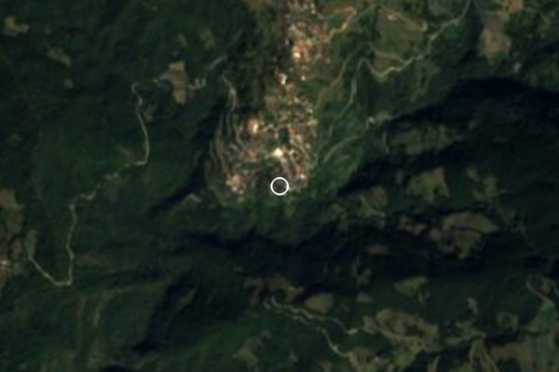
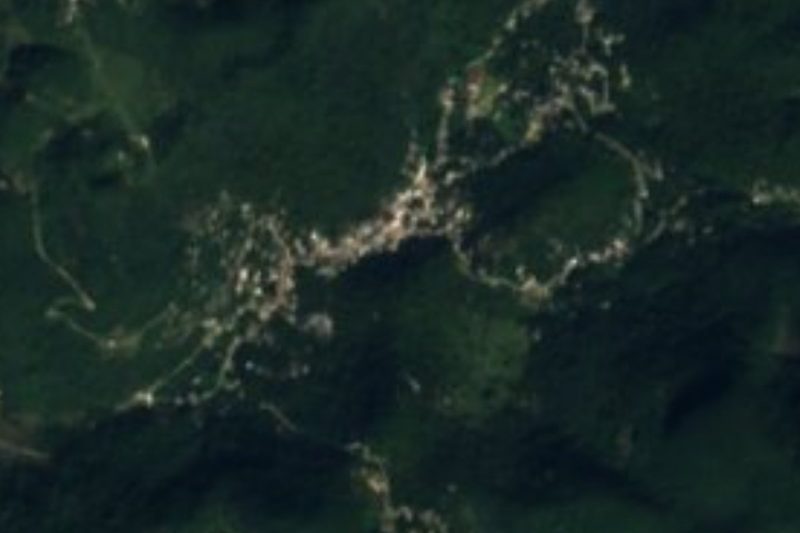




Drive times by road from OpenStreetMap, without traffic. Times marked ~ are estimated from the straight-line distance.
Location from OpenStreetMap. Written by Puebloteca.