Town San José Tenango, Oaxaca La Cañada (Oaxaca)
Mazatec seat in Oaxaca's Cañada, deep in rainy sierra country; the municipality has 141 localities.
From Tuxtepec: 2 h 5 min by car (97 km by road) How to get there ↓
Near here
See everything nearby ↓

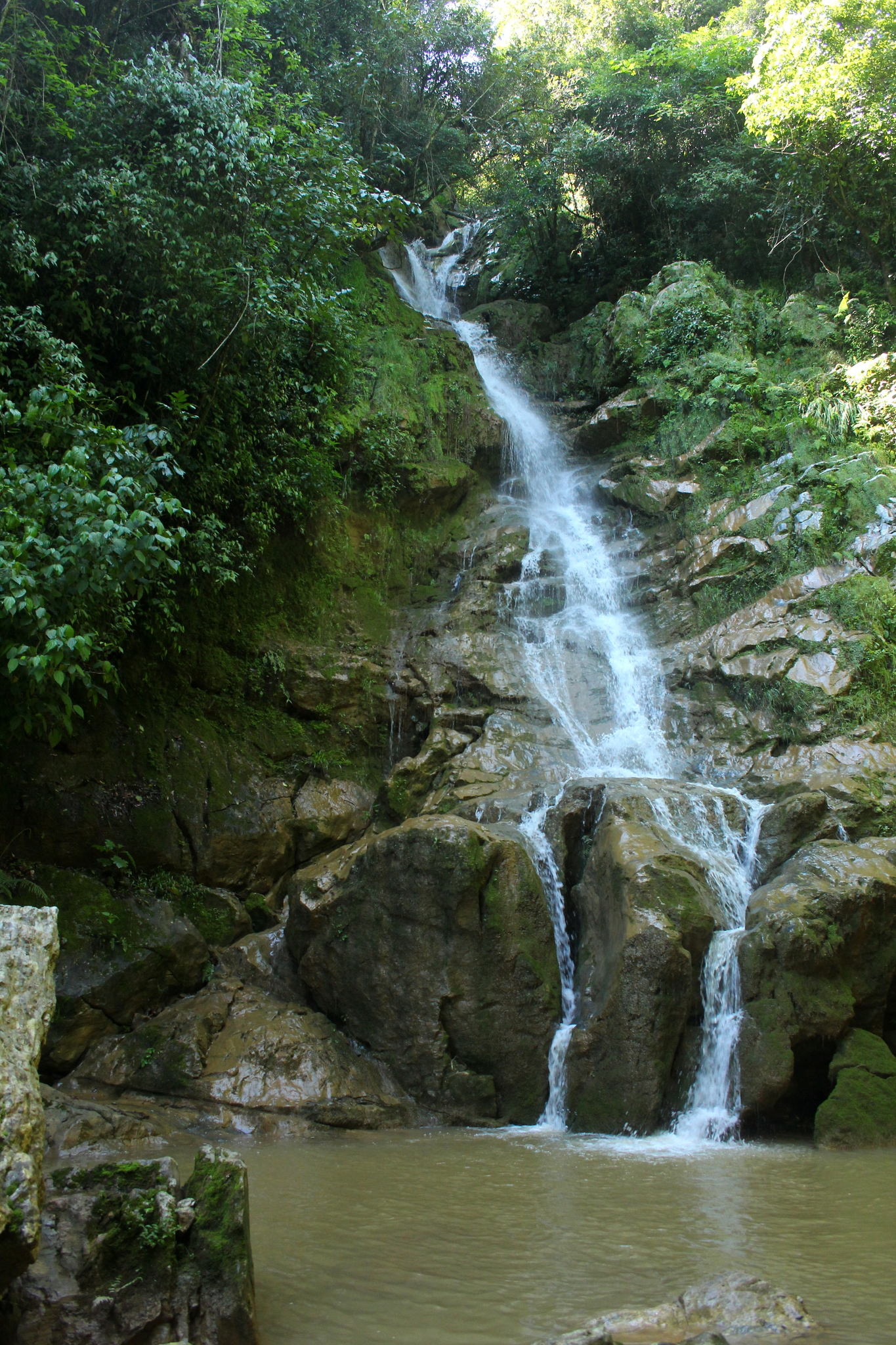


Plan your visit to San José Tenango
Where to stay near San José Tenango
Compare hotels, posadas and guest houses in San José Tenango.
Tours to San José Tenango
Day trips around Huautla sometimes stop in San José Tenango; a tour is the easy way to see it without a car.
How to get to San José Tenango
- From Tuxtepec: about 2 h 5 min by road (~97 km)
- Nearest airport: Oaxaca (OAX), 3 h 34 min by car to Huautla
Links open a partner site. We may earn a commission if you book, at no cost to you.
About San José Tenango
Tenango is the seat of a municipality with a huge number of localities and few people in each: the 2020 census counts 141 localities and 18,102 residents, yet the seat itself has only 1,254. It lies in the Teotitlan district, in the north of the Cañada region, in the Sierra de Flores Magón, and the municipality was created on December 26, 1925. Its neighbours include Huautla de Jiménez, San Bartolomé Ayautla and San Pedro Ixcatlán.
The sierra around Tenango is among the wettest in Oaxaca: INEGI records 3,500 to 5,000 mm of rain a year, with a humid semi-warm climate and rain in every season. More than three quarters of the land is jungle and another 12 percent is forest, on limestone, and nearly all of it is unsuited to cropping. Mazatec is the dominant language: in 2005 INEGI counted over 15,700 speakers of indigenous languages in the municipality.
Local culture shows in daily life. Handwork includes embroidery, huipiles and woven blankets, masks of bark or wood fibre, and carpentry for chairs and tables; the table brings guasmole and sour atole, and the music is wind bands. Local photographs on Wikimedia Commons show palm crosses made for Holy Week, Day of the Dead with candles lighting the way, and men breaking stone for gravel. Among the municipality's localities, Cerro Palmera, Aguacatitla and Cerro Central each have more than 450 residents.
How to get to San José Tenango
Drive from Tuxtepec: 2 h 5 min, 97 km
San José Tenango lies high in the Cañada, north of Huautla de Jiménez, about 15 km from that town in a straight line (roughly 15 to 30 minutes through the sierra, no published figure). The usual route begins at Teotitlán de Flores Magón on federal highway 135 between Tehuacán and Oaxaca: from there the road climbs to Huautla, about 64 km and 50 minutes by car according to Yo te llevo, and from Huautla a local road runs to Tenango, with a Tenango taxi stop recorded in a state works project.
We found no timetable or fare for vans or colectivos from Huautla to Tenango, and Rome2rio only lists one direct bus a day from Teotitlán to Huautla, roughly 1 h 8 min. Ask at the vans' terminal in Huautla or at the municipal office. Tuxtepec, the closest city to the north, is about 63 km in a straight line; the roads are mountain roads and can be slow in the rain.
Directions to San José Tenango on Google Maps
Distances are in a straight line; the road is usually longer.
Links open a partner site. We may earn a commission if you book, at no cost to you.
From the nearest cities to San José Tenango
- Tuxtepec · 97 km by road, 2 h 5 min
- Huajuapan de León · about 155 km by road, ~2 h 15 min
- Tehuacán · 154 km by road, 2 h 35 min
Drive times by road from OpenStreetMap, without traffic or stops. Times marked ~ are estimated from the straight-line distance.
Visiting San José Tenango: what to see and do
Walk the centre of the seat and ask about the San José festivities.
Look for embroidery, huipiles and blankets made in the area.
During Holy Week, watch for the palm crosses made in homes.
Visit at Day of the Dead, when candles are lit to guide the departed.
Look in on Cerro Central, Cerro Palmera or Aguacatitla, the larger localities.
Try guasmole and sour atole.
Plan your trip
Places to stay in San José Tenango
Compare hotels, posadas, and rentals in and around San José Tenango.
Tours & activities
Day trips around Huautla sometimes stop in San José Tenango; a tour is the easy way to see it without a car.
Rental cars
Pick up a car at OAX (Oaxaca): about 3 h 34 min by road to Huautla, then 15 km more to San José Tenango, on your own schedule.
Flights
The nearest airport with scheduled flights is Oaxaca (OAX), about 3 h 34 min by road from Huautla, the base for San José Tenango.
Mobile data
Signal can drop away from Huautla: download a map of the way to San José Tenango before you set out, or carry an eSIM with data.
Links open a partner site. We may earn a commission if you book, at no cost to you.
When to go to San José Tenango mild
San José Tenango shares the climate of Huautla, 15 km away. The best months to visit are February, March, April, and May.
See the month-by-month climate of Huautla
Weather in San José Tenango now and the next 7 days
Live forecast from Open-Meteo. Chance of rain is the day's highest.
The closest Pueblo Mágico: Huautla

Huautla is the Pueblo Mágico closest to San José Tenango, with places to stay, food, and more to see.
Closest to San José Tenango
-
Cerro de la Adoración · Viewpoint · 12 km away
-
Santa María la Asunción · Town · 12 km away
-
Cascada de Puente de Fierro · Waterfall · 14 km away
-
Eloxochitlán de Flores Magón · Town · 17 km away
-
Chiquihuitlán de Benito Juárez · Town · 18 km away
-
San Felipe Jalapa de Díaz · Town · 21 km away
-
San Pedro Ixcatlán · Town · 22 km away
-
Presa Miguel Alemán · Lake · 26 km away


Near San José Tenango




Drive times by road from OpenStreetMap, without traffic. Times marked ~ are estimated from the straight-line distance.
Location from OpenStreetMap. Written by Puebloteca.