Village Coyomeapan, Puebla Tehuacán Valley
Nahua mountain seat southeast of Tehuacán, 2,027 m up among misty forests, with up to 4,100 mm of rain and wool and palm weaving.
From Tehuacán: 1 h 30 min by car (73 km by road) How to get there ↓
Near here
See everything nearby ↓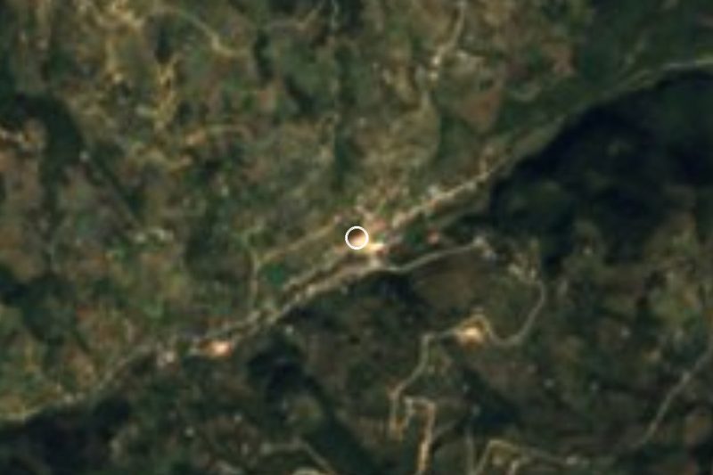


Plan your visit to Santa María Coyomeapan
Where to stay near Santa María Coyomeapan
Compare hotels, posadas and guest houses in Santa María Coyomeapan.
Tours to Santa María Coyomeapan
Day trips and guided outings from Huautla often include Santa María Coyomeapan; with a local guide you can get there without a car.
How to get to Santa María Coyomeapan
- From Tehuacán: about 1 h 30 min by road (~73 km)
- Nearest airport: Oaxaca (OAX), 3 h 34 min by car to Huautla
Links open a partner site. We may earn a commission if you book, at no cost to you.
About Santa María Coyomeapan
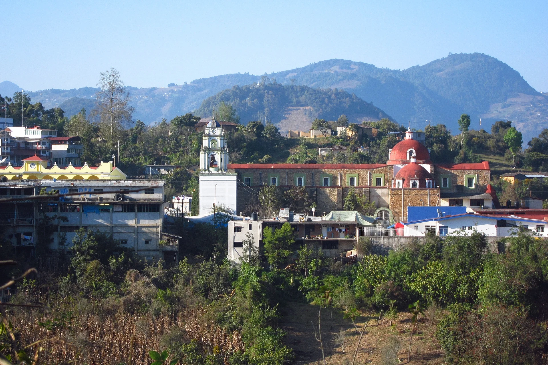
From Tehuacán, the road to Coyomeapan runs through Coxcatlán and then climbs into the high mountains of southeastern Puebla, almost on the Oaxaca border. Up there, at 2,027 metres and about 46 km in a straight line from Tehuacán, is Santa María Coyomeapan, the municipal seat, which had 1,288 inhabitants in 2020. It is a small town of houses packed onto the hillside; at its centre the parish church, dedicated to the Virgin Mary, faces the town hall, which has stood for about a century. All around, mist often settles over forested hills and fields climbing the slopes.
The whole municipality is Indigenous country: most of its people are Nahua, and in 2010 more than 10,000 spoke a native language, mainly Nahuatl and also Mazatec. Farming is the main livelihood, and since 2000 more and more workers have left for the United States. Hands in the sierra weave wool into cotones and embroidered nahuas, and also work palm and cane. Wind bands play at religious fiestas, and the kitchen offers mole de caderas or backbone mole, mutton and goat broth, totopos, tlaxcales, fresh-corn memelas and tamales and chileatole; to drink there is atole, chocolate, aguardiente, mezcal and pulque.
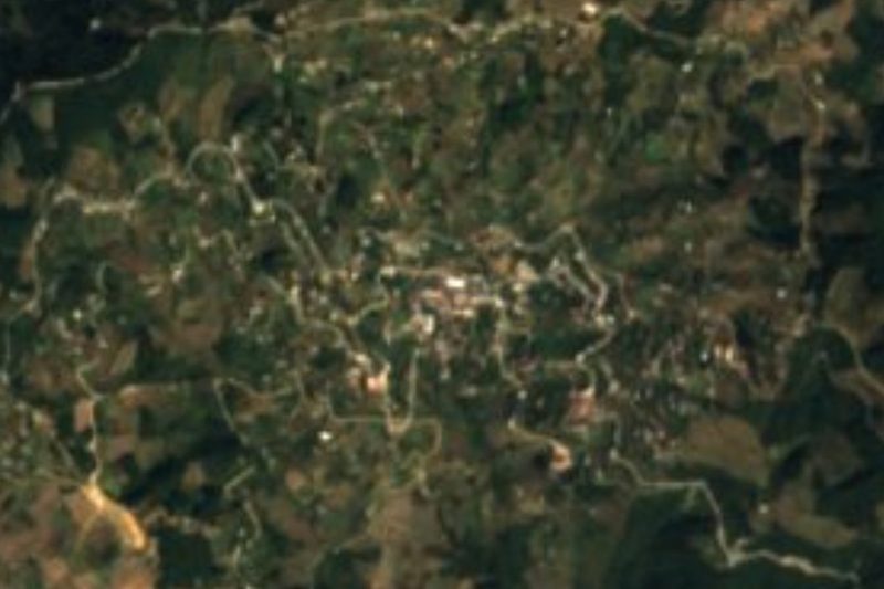
Coyomeapan belongs to the Sierra Madre del Sur, in the Sierras Orientales, and its terrain ranges from about 400 to 3,200 metres, mostly limestone. That huge drop explains the mix of climates, from humid temperate to hot, with average temperatures of 12 to 26 °C and rainfall anywhere from 500 to 4,100 mm a year depending on the slope. Almost 60% of the land is forest, with patches of tropical woodland; its waters drain to the Papaloapan basin through the Petlapa and Salado rivers and the Tilapa stream. It borders Zoquitlán, San Sebastián Tlacotepec, Coxcatlán and the state of Oaxaca.
How to get to Santa María Coyomeapan
Drive from Tehuacán: 1 h 30 min, 73 km
Access is by land from Tehuacán, about 46 km away in a straight line: first down to Coxcatlán, then up a mountain road to the town. Puebla city lies about 153 km away as the crow flies, and Huautla, across the line in Oaxaca, about 23 km. Travel by daylight, as mist is frequent.
Directions to Santa María Coyomeapan on Google Maps
Distances are in a straight line; the road is usually longer.
Links open a partner site. We may earn a commission if you book, at no cost to you.
From the nearest cities to Santa María Coyomeapan
- Tehuacán · 73 km by road, 1 h 30 min
- Huajuapan de León · about 125 km by road, ~1 h 55 min
- Orizaba · 108 km by road, 2 h 25 min
Drive times by road from OpenStreetMap, without traffic or stops. Times marked ~ are estimated from the straight-line distance.
Visiting Santa María Coyomeapan: what to see and do
The centre, where the parish church and the century-old town hall face each other.
The forested hills and the mist that wraps them.
Wool, palm and cane weaving.
The wind band at religious fiestas.
Plan your trip
Places to stay in Santa María Coyomeapan
Compare hotels, posadas, and rentals in and around Santa María Coyomeapan.
Tours & activities
Day trips and guided outings from Huautla often include Santa María Coyomeapan; with a local guide you can get there without a car.
Rental cars
Pick up a car at OAX (Oaxaca): about 3 h 34 min by road to Huautla, then 23 km more to Santa María Coyomeapan, on your own schedule.
Flights
The nearest airport with scheduled flights is Oaxaca (OAX), about 3 h 34 min by road from Huautla, the base for Santa María Coyomeapan.
Mobile data
Signal can drop away from Huautla: download a map of the way to Santa María Coyomeapan before you set out, or carry an eSIM with data.
Links open a partner site. We may earn a commission if you book, at no cost to you.
When to go to Santa María Coyomeapan mild
Santa María Coyomeapan shares the climate of Huautla, 23 km away. The best months to visit are February, March, April, and May.
See the month-by-month climate of Huautla
Weather in Santa María Coyomeapan now and the next 7 days
Live forecast from Open-Meteo. Chance of rain is the day's highest.
The closest Pueblo Mágico: Huautla

Huautla is the Pueblo Mágico closest to Santa María Coyomeapan, with places to stay, food, and more to see.
Also close to
Closest to Santa María Coyomeapan
-
Xitlama · Village · 3 km away
-
Zoquitlán · Village · 6 km away
-
Cuitzala · Village · 8 km away
-
Tepeyoloc · Village · 10 km away
-
Chichicapa · Village · 14 km away
-
Coxcatlán · Town · 17 km away
-
Eloxochitlán de Flores Magón · Town · 17 km away
-
Calipan · Village · 18 km away


Near Santa María Coyomeapan






Drive times by road from OpenStreetMap, without traffic. Times marked ~ are estimated from the straight-line distance.
Location from OpenStreetMap. Written by Puebloteca.