Village Zoquitlán, Puebla Tehuacán Valley
"In the mud": Nahua town of the Sierra Negra at 2,149 m, with a 16th-century San Pablo church, carved wooden spoons and fried pochocuil grubs.
From Tehuacán: 1 h 10 min by car (71 km by road) How to get there ↓
Near here
See everything nearby ↓


Plan your visit to Zoquitlán
Where to stay near Zoquitlán
Compare hotels, posadas and guest houses in Zoquitlán.
Tours to Zoquitlán
Day trips and guided outings from Huautla often include Zoquitlán; with a local guide you can get there without a car.
How to get to Zoquitlán
- From Tehuacán: about 1 h 10 min by road (~71 km)
- Nearest airport: Oaxaca (OAX), 3 h 34 min by car to Huautla
Links open a partner site. We may earn a commission if you book, at no cost to you.
About Zoquitlán
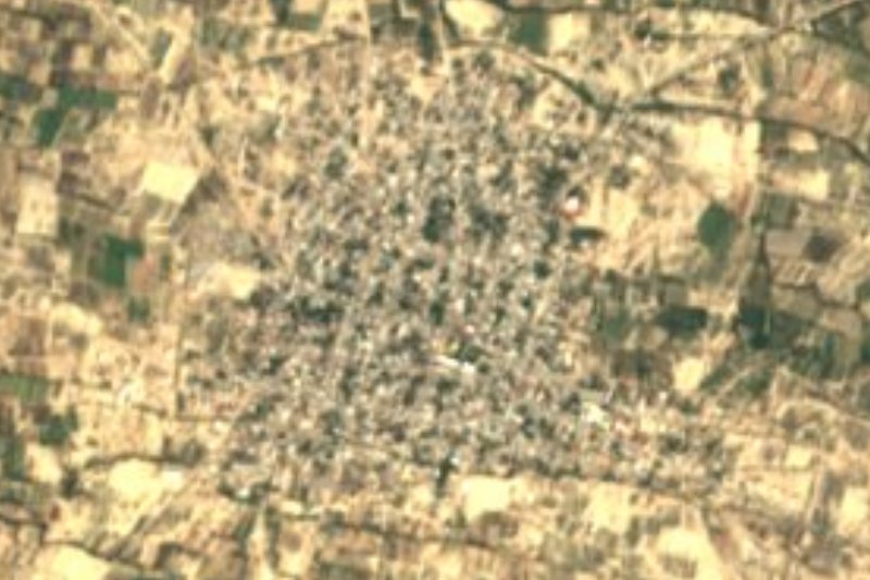
Pochocuiles are grubs raised inside jonote tree trunks, and in Zoquitlán they are eaten fried: it is one of the dishes that set apart this town of the Sierra Negra, in the far south-east of Puebla. The name joins Nahuatl zóquitl, mud, with the locative -tlan, meaning "in the mud", which makes sense quickly in a range where it hardly ever stops raining. The town had 3,404 residents in 2020 and stands at 2,149 m, about 42 km in a straight line from Tehuacán and 29 km from Huautla. Most people speak Nahuatl; the municipality counted about 15,850 speakers of an Indigenous language.
The Sierra Negra, known locally as the Sierra del Axusco, forms a single massif with the Sierra de Zongolica in Veracruz and tops 2,900 m at its summits. Moist air from the Gulf of Mexico runs into it, so the climate ranges from mild and very wet on the heights to warm in the ravines, with rainfall reaching 3,100 mm a year in places. Half of the 311 km² municipality is forest, with some tropical woodland lower down. Water flows east along the Coyolapa river into the Río Tonto, part of the Papaloapan basin. Besides the seat there are sub-districts such as Xitlama, Acatepec, Tepexilotla and Cacaloc.
In town stands the 16th-century church of San Pablo, which keeps carved wooden figures of Saint Peter and Saint Paul. Wood is also the local trade: people carve pieces and above all spoons, and they also weave reed baskets and triangular palm fans, plus a little woollen clothing. For sweets there are candied squash, peach and quince, seed jamoncillo and alegría, and to drink, cane aguardiente.
How to get to Zoquitlán
Drive from Tehuacán: 1 h 10 min, 71 km
The gateway is Tehuacán, about 42 km away in a straight line. More than fifty ADO, AU and Autobuses Unidos departures a day leave Puebla's CAPU for the ADO terminal in Tehuacán, a ride of about 2 h 15 min. From Tehuacán you continue toward Ajalpan and the Sierra Negra; the final stretch to Zoquitlán is by local transport with no published timetable, so ask in Tehuacán or Ajalpan. By car, expect a mountain road with bends and frequent fog.
Directions to Zoquitlán on Google Maps
Distances are in a straight line; the road is usually longer.
Links open a partner site. We may earn a commission if you book, at no cost to you.
From the nearest cities to Zoquitlán
- Tehuacán · 71 km by road, 1 h 10 min
- Tuxtepec · about 125 km by road, ~1 h 55 min
- Huajuapan de León · about 130 km by road, ~1 h 55 min
Drive times by road from OpenStreetMap, without traffic or stops. Times marked ~ are estimated from the straight-line distance.
Visiting Zoquitlán: what to see and do
The 16th-century church of San Pablo and its carved wooden figures.
Wooden spoons and carvings made in town.
Reed baskets and palm fans.
Fried pochocuil grubs and candied squash, peach and quince.
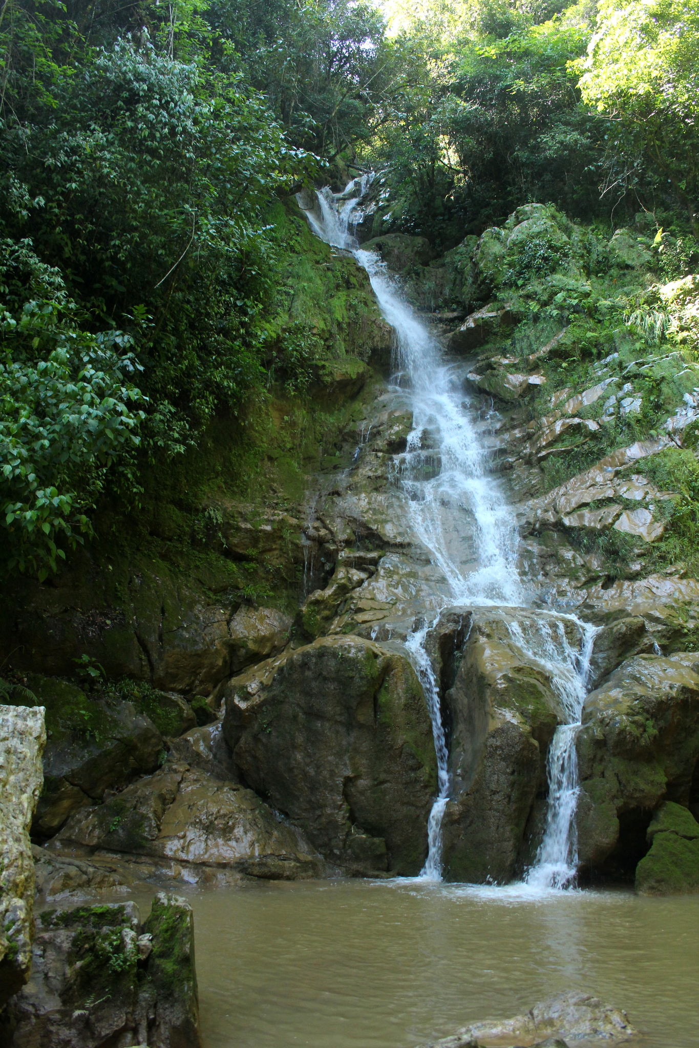
The wet forest landscape of the Sierra Negra.
Plan your trip
Places to stay in Zoquitlán
Compare hotels, posadas, and rentals in and around Zoquitlán.
Tours & activities
Day trips and guided outings from Huautla often include Zoquitlán; with a local guide you can get there without a car.
Rental cars
Pick up a car at OAX (Oaxaca): about 3 h 34 min by road to Huautla, then 29 km more to Zoquitlán, on your own schedule.
Flights
The nearest airport with scheduled flights is Oaxaca (OAX), about 3 h 34 min by road from Huautla, the base for Zoquitlán.
Mobile data
Signal can drop away from Huautla: download a map of the way to Zoquitlán before you set out, or carry an eSIM with data.
Links open a partner site. We may earn a commission if you book, at no cost to you.
When to go to Zoquitlán mild
Zoquitlán shares the climate of Huautla, 29 km away. The best months to visit are February, March, April, and May.
See the month-by-month climate of Huautla
Weather in Zoquitlán now and the next 7 days
Live forecast from Open-Meteo. Chance of rain is the day's highest.
The closest Pueblo Mágico: Huautla

Huautla is the Pueblo Mágico closest to Zoquitlán, with places to stay, food, and more to see.
Also close to
Closest to Zoquitlán
-
Xitlama · Village · 3 km away
-
Santa María Coyomeapan · Village · 6 km away
-
Chichicapa · Village · 8 km away
-
Cuitzala · Village · 8 km away
-
Tepeyoloc · Village · 8 km away
-
Ameyalco · Village · 16 km away
-
Calipan · Village · 16 km away
-
Coxcatlán · Town · 16 km away


Near Zoquitlán






Drive times by road from OpenStreetMap, without traffic. Times marked ~ are estimated from the straight-line distance.
Location from OpenStreetMap. Written by Puebloteca.