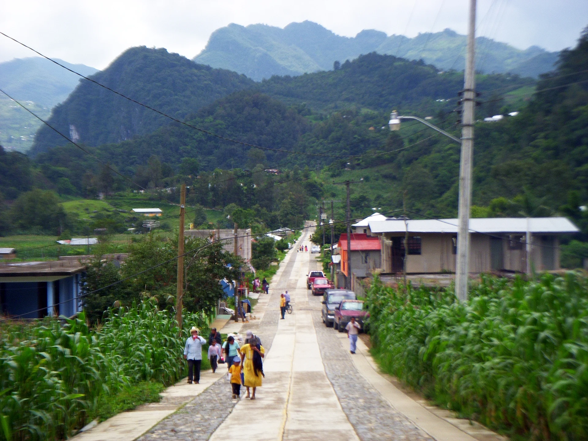
Town Eloxochitlán de Flores Magón, Oaxaca Central Valleys of Oaxaca La Cañada (Oaxaca)
Mazatec town at 1,345 m in Oaxaca's far north, birthplace of the revolutionary Ricardo Flores Magón, a few kilometres from Huautla.
From Tehuacán: 2 h by car (120 km by road) How to get there ↓
Near here
See everything nearby ↓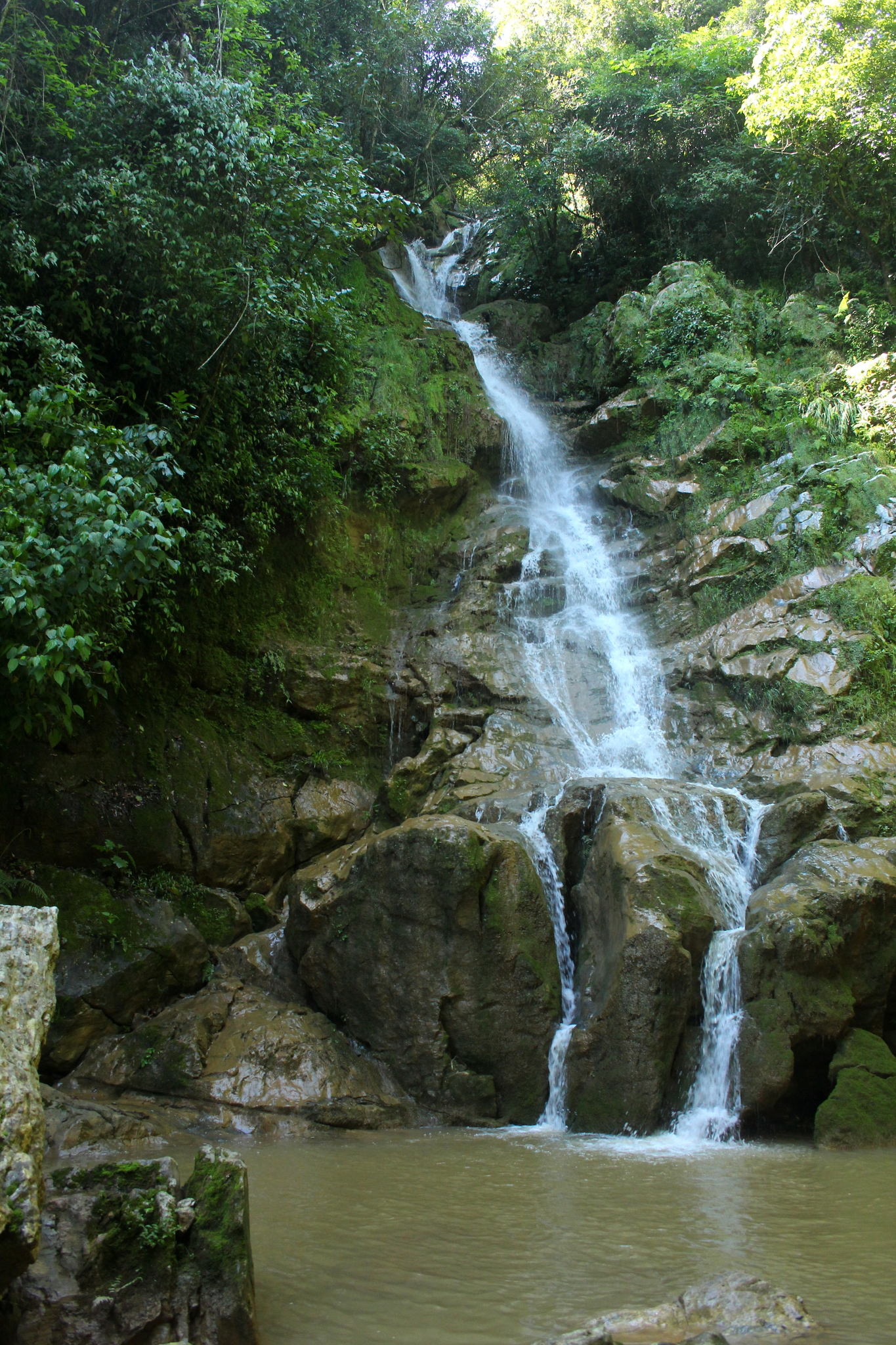



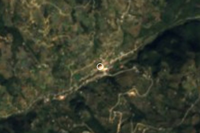
Plan your visit to Eloxochitlán de Flores Magón
Where to stay near Eloxochitlán de Flores Magón
Compare hotels, posadas and guest houses in Eloxochitlán de Flores Magón.
Tours to Eloxochitlán de Flores Magón
Day trips around Huautla sometimes stop in Eloxochitlán de Flores Magón; a tour is the easy way to see it without a car.
How to get to Eloxochitlán de Flores Magón
- From Tehuacán: about 2 h by road (~120 km)
- Nearest airport: Oaxaca (OAX), 3 h 34 min by car to Huautla
Links open a partner site. We may earn a commission if you book, at no cost to you.
About Eloxochitlán de Flores Magón
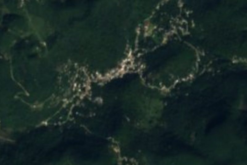
Eloxochitlán de Flores Magón sits in the far north of Oaxaca, almost on the Puebla line, inside the Sierra Mazateca. The town lies at about 1,345 metres, among steep hills of wet cloud forest; local climate records show around 2,000 mm of rain a year and an average temperature near 18 °C, so expect mist and showers in almost any month.
It used to be called San Antonio Eloxochitlán. Franciscans settled the site around 1827, and it was the first town in the region founded by people from outside the Mazatec world. In 1967 a state decree renamed it after Ricardo Flores Magón, the journalist and anarchist of the Mexican Revolution who was born here on 16 September 1873. The municipality belongs to the Teotitlán district and is governed by usos y costumbres.
In 2020 the town had 901 residents, and more than nine in ten identify as Indigenous; the everyday language across the municipality is Tecóatl Mazatec. The patron saint's fiesta is on 13 June, the day of Saint Anthony of Padua, and on 1 and 2 November the huehuentones dance is performed, a Day of the Dead tradition of the Mazatec region.
This is not a tourist-infrastructure destination: no hotels or restaurants are documented, so most people visit as a day trip from Huautla de Jiménez, which has lodging and food. Other communities of the municipality surround it, such as Agua Ancha, Agua Colorada, El Maguey and La Tranca. Our information on local transport schedules is limited; ask in Huautla before setting out.
How to get to Eloxochitlán de Flores Magón
Drive from Tehuacán: 2 h, 120 km
From Tehuacán (Puebla) take state toll road 980 to Teotitlán de Flores Magón and then MEX-182 toward Huautla de Jiménez: about 120 km and roughly 2 hours by car, with many tight curves. Eloxochitlán is about 8 km from Huautla (about 10 minutes by car). Without a car: Autobuses Unidos runs from Tehuacán to Huautla (about 4 h 45 min by bus; the website shows one daily service but the ticket window usually has more, cash only). There is also second-class service from Huautla straight to Mexico City's TAPO. From Huautla to Eloxochitlán use local transport or a taxi; we found no published timetable, so ask in central Huautla. From the city of Oaxaca the drive is roughly 3 h 30 min. Bring cash: mobile coverage is patchy (a little over half of homes have a cell phone).
Directions to Eloxochitlán de Flores Magón on Google Maps
Distances are in a straight line; the road is usually longer.
Links open a partner site. We may earn a commission if you book, at no cost to you.
From the nearest cities to Eloxochitlán de Flores Magón
- Tehuacán · 120 km by road, 2 h
- Huajuapan de León · about 135 km by road, ~2 h
- Tuxtepec · 136 km by road, 2 h 10 min
Drive times by road from OpenStreetMap, without traffic or stops. Times marked ~ are estimated from the straight-line distance.
Before you go to Eloxochitlán de Flores Magón: hours, prices and tips
- Best season
- Patron saint's fiesta on 13 June; Day of the Dead huehuentones dance on 1 and 2 November. Wikipedia (es), municipio de Eloxochitlán de Flores Magón · checked Oct 2026
- What to bring
- Rain jacket and cash; the area gets about 2,000 mm of rain a year and mobile signal is patchy. Pueblos de América (INEGI data) · checked Oct 2026
Hours and prices change, especially around holidays. Each fact links to where we checked it.
Visiting Eloxochitlán de Flores Magón: what to see and do
Walk the central streets, with cloud-forest hills on both sides.
Look for the memory of Ricardo Flores Magón, born here in 1873.
Visit for the San Antonio fiesta on 13 June.
Watch the huehuentones dance on 1 and 2 November.
Head for a natural viewpoint: Cerro Nindoge (1,950 m) is about 3 km northeast.
Plan your trip
Places to stay in Eloxochitlán de Flores Magón
Compare hotels, posadas, and rentals in and around Eloxochitlán de Flores Magón.
Tours & activities
Day trips around Huautla sometimes stop in Eloxochitlán de Flores Magón; a tour is the easy way to see it without a car.
Rental cars
Pick up a car at OAX (Oaxaca): about 3 h 34 min by road to Huautla, then 6 km more to Eloxochitlán de Flores Magón, on your own schedule.
Flights
The nearest airport with scheduled flights is Oaxaca (OAX), about 3 h 34 min by road from Huautla, the base for Eloxochitlán de Flores Magón.
Mobile data
Signal can drop away from Huautla: download a map of the way to Eloxochitlán de Flores Magón before you set out, or carry an eSIM with data.
Links open a partner site. We may earn a commission if you book, at no cost to you.
When to go to Eloxochitlán de Flores Magón mild
Eloxochitlán de Flores Magón shares the climate of Huautla, 6 km away. The best months to visit are February, March, April, and May.
See the month-by-month climate of Huautla
Weather in Eloxochitlán de Flores Magón now and the next 7 days
Live forecast from Open-Meteo. Chance of rain is the day's highest.
The closest Pueblo Mágico: Huautla

Huautla is the Pueblo Mágico closest to Eloxochitlán de Flores Magón, with places to stay, food, and more to see.
Also close to
Closest to Eloxochitlán de Flores Magón
-
Cascada de Puente de Fierro · Waterfall · 3 km away
-
Cerro de la Adoración · Viewpoint · 9 km away
-
Santa María la Asunción · Town · 10 km away
-
San José Tenango · Town · 17 km away
-
Santa María Coyomeapan · Village · 17 km away
-
Xitlama · Village · 20 km away
-
Teotitlán de Flores Magón · Town · 21 km away
-
Cuitzala · Village · 23 km away


Near Eloxochitlán de Flores Magón
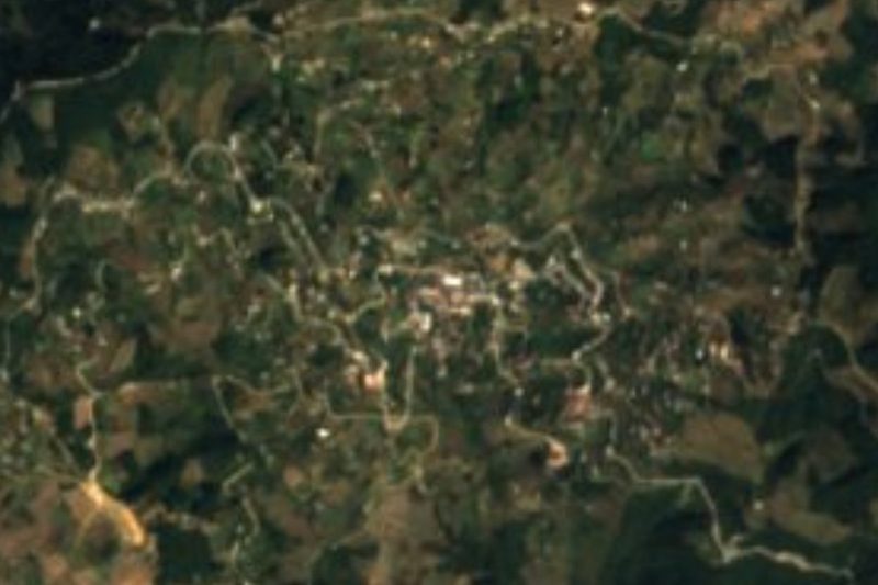


Drive times by road from OpenStreetMap, without traffic. Times marked ~ are estimated from the straight-line distance.
Location from OpenStreetMap. Written by Puebloteca.