

Town San Lucas Ojitlán, Oaxaca Papaloapan (Oaxaca)
Chinantec seat in the Papaloapan lowlands, between two dams, where the Plan of Tuxtepec was proclaimed in 1876.
From Tuxtepec: 45 min by car (47 km by road) How to get there ↓
Near here
See everything nearby ↓



Plan your visit to San Lucas Ojitlán
Where to stay near San Lucas Ojitlán
Compare hotels, posadas and guest houses in San Lucas Ojitlán.
Tours to San Lucas Ojitlán
Day trips around Huautla sometimes stop in San Lucas Ojitlán; a tour is the easy way to see it without a car.
How to get to San Lucas Ojitlán
- From Tuxtepec: about 45 min by road (~47 km)
- Nearest airport: Oaxaca (OAX), 3 h 34 min by car to Huautla
Links open a partner site. We may earn a commission if you book, at no cost to you.
About San Lucas Ojitlán
The town sits in the hot lowlands of the lower Chinantla, about 135 metres above sea level, in the Tuxtepec district. Its name is explained as "place of the ojites" (the ojite is a tree with an edible fruit), and in Chinantec, according to Spanish Wikipedia, it would mean "town or hot land". The seat had roughly 6,000 inhabitants in the 2020 census, and the municipality, close to 596 square kilometres, counted 19,871 people in 2005.
On 10 January 1876 the Plan of Tuxtepec was proclaimed here, in what was then the Villa de Ojitlán, when Porfirio Díaz rose against the re-election of Lerdo de Tejada. It is the best-known historical fact about the town.
Ojitlán is considered the most representative municipality of the Chinantec people. The language is heard in the street, and women wear the huipiles typical of the Chinantla. The land lies between two large reservoirs on the Santo Domingo and Papaloapan rivers: the Miguel Alemán dam, also called Temazcal, and the Cerro de Oro dam. The latter covered more than 26,000 hectares of the Tuxtepec district and forced Chinantec communities to relocate, many of them to Uxpanapa and Los Naranjos in Veracruz, according to a study by Bartolomé and Barabas published by INAH.
The climate is hot and humid, with April, May and June the hottest months, and the local economy rests on farming, cattle and fishing in the reservoirs. Photographs of the Miguel Alemán dam show fish-farming rafts and small boats crossing its water.
How to get to San Lucas Ojitlán
Drive from Tuxtepec: 45 min, 47 km
Ojitlán is in the Tuxtepec district of northern Oaxaca, and the reference city is San Juan Bautista Tuxtepec, about 29 km away in a straight line (roughly 35 minutes by road). The municipality borders Tuxtepec on the north and east and Jalapa de Díaz on the west; a press report notes that the Tuxtepec-Jalapa de Díaz road passes the entrance to the municipality.
From Tuxtepec, the link route planners show is a taxi; We did not find a documented bus line for that stretch, so ask at the Tuxtepec terminal about buses or colectivos to Ojitlán.
From Oaxaca city, Rome2Rio suggests going via Valle Nacional: a bus from Oaxaca to Valle Nacional (ADO, about 4 h 25 min, or Cuenca, about 4 h), then a taxi. By road, Rome2Rio gives about 446 km between Ojitlán and Mexico City's TAPO terminal. Schedules and fares change, so check ado.com.mx.
Directions to San Lucas Ojitlán on Google Maps
Distances are in a straight line; the road is usually longer.
Links open a partner site. We may earn a commission if you book, at no cost to you.
From the nearest cities to San Lucas Ojitlán
- Tuxtepec · 47 km by road, 45 min
- Orizaba · about 150 km by road, ~2 h 10 min
- Oaxaca · about 150 km by road, ~2 h 15 min
Drive times by road from OpenStreetMap, without traffic or stops. Times marked ~ are estimated from the straight-line distance.
Visiting San Lucas Ojitlán: what to see and do
Walk the plaza and the municipal hall of the town seat.
Look for the Chinantec huipil on women in town and at the market.
Go down to the shore of the Miguel Alemán dam, with its fish-farming rafts.
Ask where the Plan of Tuxtepec was proclaimed in 1876.
Listen for Chinantec, the language spoken in most homes.
Plan your trip
Places to stay in San Lucas Ojitlán
Compare hotels, posadas, and rentals in and around San Lucas Ojitlán.
Tours & activities
Day trips around Huautla sometimes stop in San Lucas Ojitlán; a tour is the easy way to see it without a car.
Rental cars
Pick up a car at OAX (Oaxaca): about 3 h 34 min by road to Huautla, then 49 km more to San Lucas Ojitlán, on your own schedule.
Flights
The nearest airport with scheduled flights is Oaxaca (OAX), about 3 h 34 min by road from Huautla, the base for San Lucas Ojitlán.
Mobile data
Signal can drop away from Huautla: download a map of the way to San Lucas Ojitlán before you set out, or carry an eSIM with data.
Links open a partner site. We may earn a commission if you book, at no cost to you.
When to go to San Lucas Ojitlán mild
San Lucas Ojitlán shares the climate of Huautla, 49 km away. The best months to visit are February, March, April, and May.
See the month-by-month climate of Huautla
Weather in San Lucas Ojitlán now and the next 7 days
Live forecast from Open-Meteo. Chance of rain is the day's highest.
The closest Pueblo Mágico: Huautla

Huautla is the Pueblo Mágico closest to San Lucas Ojitlán, with places to stay, food, and more to see.
Closest to San Lucas Ojitlán
-
Presa Miguel Alemán · Lake · 13 km away
-
San Felipe Jalapa de Díaz · Town · 15 km away
-
San Pedro Ixcatlán · Town · 15 km away
-
San Juan Bautista Valle Nacional · Town · 33 km away
-
San José Tenango · Town · 35 km away
-
La Granja · Village · 36 km away
-
Chiquihuitlán de Benito Juárez · Town · 37 km away
-
Tierra Blanca · Town · 43 km away


Near San Lucas Ojitlán


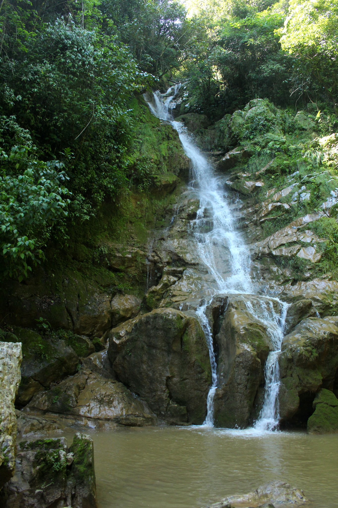


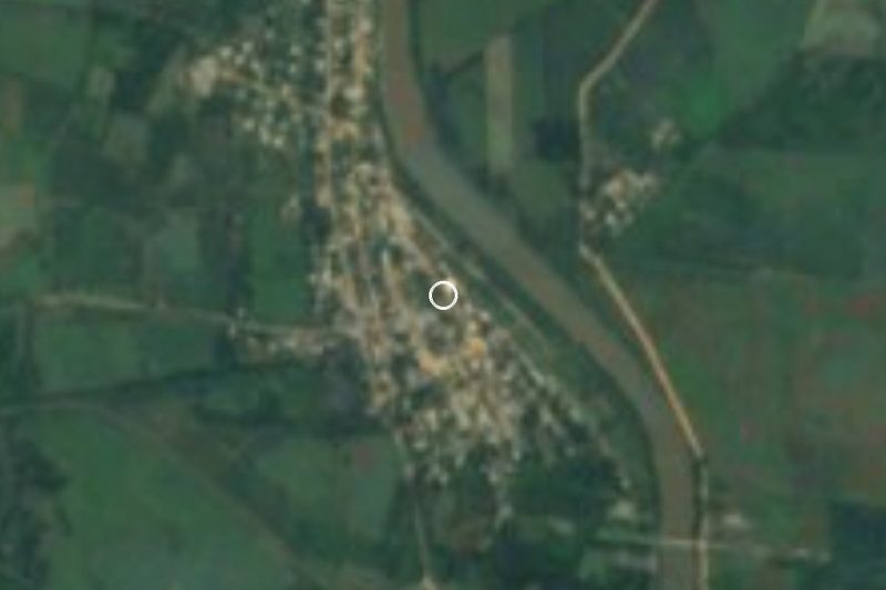

Drive times by road from OpenStreetMap, without traffic. Times marked ~ are estimated from the straight-line distance.
Location from OpenStreetMap. Written by Puebloteca.