Lake San Pedro Ixcatlán, Oaxaca La Cañada (Oaxaca)
A 47,800-hectare reservoir on the Río Tonto in Mazatec country: islands that were hilltops, tilapia fishing and boat trips from Temascal or Cerro Quemado.
From Tuxtepec: 1 h 10 min by car (63 km by road) How to get there ↓
Near here
See everything nearby ↓




Plan your visit to Presa Miguel Alemán
Where to stay near Presa Miguel Alemán
Compare hotels, posadas and guest houses in Presa Miguel Alemán.
Tours to Presa Miguel Alemán
Day trips and guided outings from Huautla often include Presa Miguel Alemán; with a local guide you can get there without a car.
How to get to Presa Miguel Alemán
- From Tuxtepec: about 1 h 10 min by road (~63 km)
- Nearest airport: Oaxaca (OAX), 3 h 34 min by car to Huautla
Links open a partner site. We may earn a commission if you book, at no cost to you.
About Presa Miguel Alemán
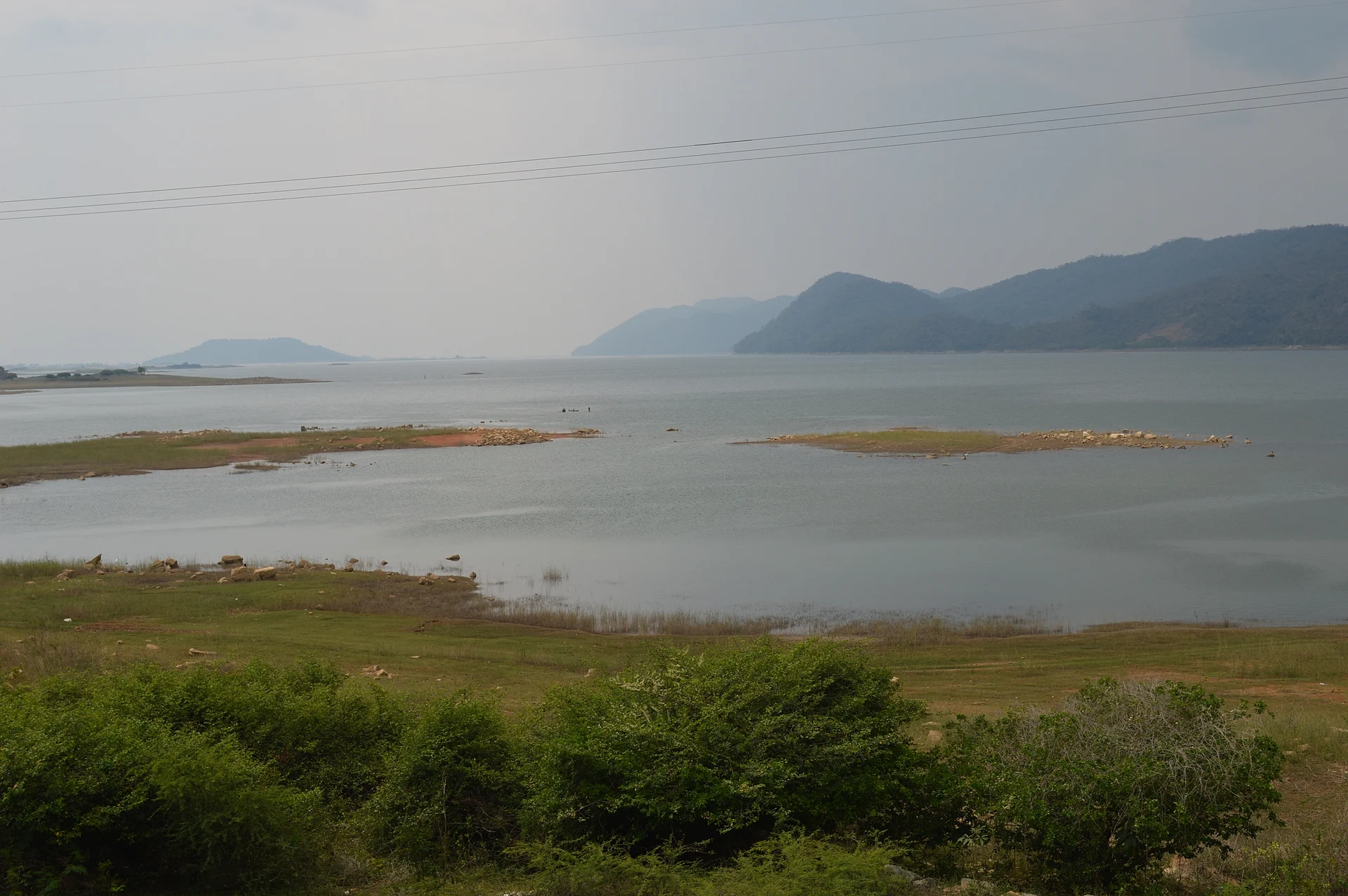
The lake behind the Miguel Alemán Dam, also called the Temascal Dam, fills the valleys of the Río Tonto in northern Oaxaca, in the Papaloapan basin at the foot of the Sierra Mazateca. At about 47,800 hectares it is a huge body of water, and a channel links it to the Cerro de Oro reservoir on the Río Santo Domingo; downstream, the Tonto and the Santo Domingo meet to form the Papaloapan.
The dam was built to tame the floods of the lower Papaloapan, which had a history of devastating floods. Work began in 1949 under President Miguel Alemán, and Temascal was founded on 14 June 1950 at the spot chosen for the 830 m dam wall. The water drowned old San Miguel Soyaltepec, founded around 1500, and forced about 22,000 Mazatec people off their land; many were resettled 50 to 200 km away. Part of the old town survives as an island, Viejo Soyaltepec, and other summits such as Isabel María became islands too.
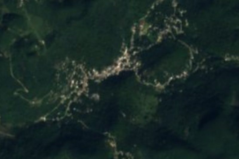
Mazatec and Chinantec families now live around the shore in San Pedro Ixcatlán, San Miguel Soyaltepec and San José Independencia. Commercial fishing lands about 700 tonnes a year of catfish, tilapia and carp, and the northwest shore and islands are a nature reserve. On the Ixcatlán side lies the area known as Mil Islas: dozens of islets that show or vanish with the water level, served by the community-run Cerro Quemado ecotourism centre with its lookouts, cabins, the Cabeza de Tilpan cave and a seasonal waterfall about 20 m high.
How to get to Presa Miguel Alemán
Drive from Tuxtepec: 1 h 10 min, 63 km
Temascal, beside the dam wall, is about 43 km by road from Tuxtepec, some 50 minutes by car or taxi on the secondary road between the two towns. Another state road runs north from Temascal to Reforma, where it meets Federal Highway 145 in Veracruz. There is no direct bus from Tuxtepec: ADO and Autobuses Unidos run to Tierra Blanca, where one AU bus a day continues to Temascal, about 3 hours in all. For Mil Islas, start from Cerro Quemado, in San Pedro Ixcatlán municipality on the mountain side; Huautla de Jiménez is the usual base for that route. Huautla is about 40 km away in a straight line, roughly an hour or more through the mountains.
Directions to Presa Miguel Alemán on Google Maps
Distances are in a straight line; the road is usually longer.
Links open a partner site. We may earn a commission if you book, at no cost to you.
From the nearest cities to Presa Miguel Alemán
- Tuxtepec · 63 km by road, 1 h 10 min
- Orizaba · about 135 km by road, ~1 h 55 min
- Veracruz · about 160 km by road, ~2 h 20 min
Drive times by road from OpenStreetMap, without traffic or stops. Times marked ~ are estimated from the straight-line distance.
Visiting Presa Miguel Alemán: what to see and do
See the dam wall and the Río Tonto at Temascal.
Take a boat with local fishermen out to the island of Viejo Soyaltepec.
Climb to the Cerro Quemado lookouts to watch the sun set over Mil Islas.
Kayak between the islets.
Visit the Cabeza de Tilpan cave, on foot or by boat.
Try the reservoir's tilapia and catfish.
Plan your trip
Places to stay in Presa Miguel Alemán
Compare hotels, posadas, and rentals in and around Presa Miguel Alemán.
Tours & activities
Day trips and guided outings from Huautla often include Presa Miguel Alemán; with a local guide you can get there without a car.
Rental cars
Pick up a car at OAX (Oaxaca): about 3 h 34 min by road to Huautla, then 40 km more to Presa Miguel Alemán, on your own schedule.
Flights
The nearest airport with scheduled flights is Oaxaca (OAX), about 3 h 34 min by road from Huautla, the base for Presa Miguel Alemán.
Travel insurance
If you plan on swimming or kayaking at Presa Miguel Alemán, check that your policy covers it: some plans leave adventure activities out.
Mobile data
Signal can drop away from Huautla: download a map of the way to Presa Miguel Alemán before you set out, or carry an eSIM with data.
Links open a partner site. We may earn a commission if you book, at no cost to you.
When to go to Presa Miguel Alemán mild
Presa Miguel Alemán shares the climate of Huautla, 40 km away. The best months to visit are February, March, April, and May.
Presa Miguel Alemán is best for swimming and time on the water in the warmest months (April, May, and June); in the rainiest ones (June, August, and October) expect storms in the afternoon.
See the month-by-month climate of Huautla
Weather in Presa Miguel Alemán now and the next 7 days
Live forecast from Open-Meteo. Chance of rain is the day's highest.
The closest Pueblo Mágico: Huautla

Huautla is the Pueblo Mágico closest to Presa Miguel Alemán, with places to stay, food, and more to see.
Closest to Presa Miguel Alemán
-
San Pedro Ixcatlán · Town · 4 km away
-
San Felipe Jalapa de Díaz · Town · 11 km away
-
San Lucas Ojitlán · Town · 13 km away
-
San José Tenango · Town · 26 km away
-
La Granja · Village · 32 km away
-
Chiquihuitlán de Benito Juárez · Town · 34 km away
-
Tierra Blanca · Town · 35 km away
-
Cerro de la Adoración · Viewpoint · 37 km away


Near Presa Miguel Alemán

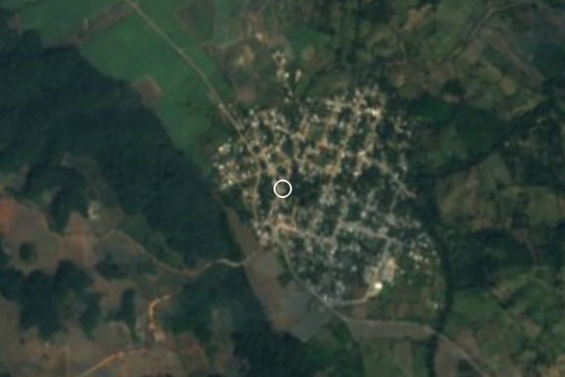


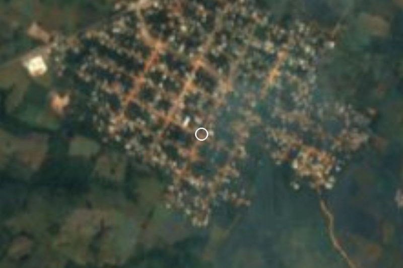
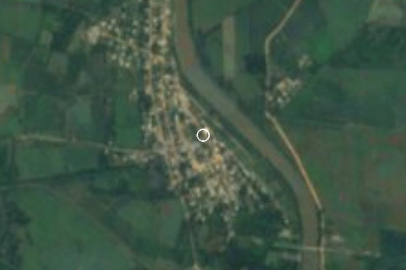

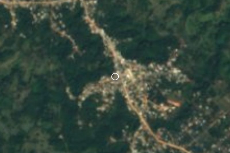
Drive times by road from OpenStreetMap, without traffic. Times marked ~ are estimated from the straight-line distance.
Lists with Presa Miguel Alemán
Lakes and Lagoons in Oaxaca · 5Location from OpenStreetMap. Written by Puebloteca.