
Viewpoint Huautla de Jiménez, Oaxaca La Cañada (Oaxaca)
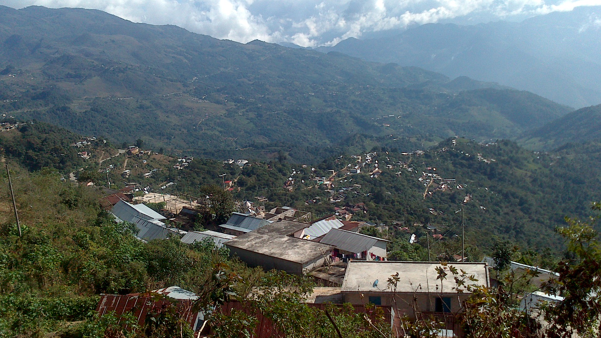
The sacred Mazatec hill above Huautla, where healers go to pray; a walk up gives wide views over the misty sierra.
From Tuxtepec: 1 h 50 min by car (115 km by road) How to get there ↓
Near here
See everything nearby ↓



Plan your visit to Cerro de la Adoración
Where to stay near Cerro de la Adoración
Hotel Casa ENPI Hotel · ★★ · 2.8 km from the center PricesTours to Cerro de la Adoración
Day trips and guided outings from Huautla often include Cerro de la Adoración; with a local guide you can get there without a car.
How to get to Cerro de la Adoración
- From Tuxtepec: about 1 h 50 min by road (~115 km)
- 4 km southeast of Huautla
- Nearest airport: Oaxaca (OAX), 3 h 34 min by car to Huautla
Links open a partner site. We may earn a commission if you book, at no cost to you.
About Cerro de la Adoración
The Cerro de la Adoración is the sacred hill that rises just southeast of Huautla, and for the Mazatec people it is far more than a viewpoint. It is known as the dwelling of the guardian of the hills, and it is one of the places where local healers, the chjota chjine or "people who know," come to gather strength for their ceremonies. María Sabina, Huautla's most famous healer, walked its paths throughout her life.
At the top stand crosses and an image of the Virgin, and you will often find offerings left at their feet: candles, flowers, cacao, eggs and copal incense. On feast days and at special ceremonies there may be prayers and cleansing rituals here, sometimes with violin music and songs in Mazatec. Visitors are welcome, but it is a place of worship, so keep your voice down and ask before taking photos of people.
The climb itself is a good walk through the green, misty hills of the Sierra Mazateca, and on a clear day the summit looks out over Huautla, the surrounding villages, deep ravines and a huge sky. Many visitors make the walk with a local guide, sometimes a member of María Sabina's family, who can explain the meaning of the place.
How to get to Cerro de la Adoración
Drive from Tuxtepec: 1 h 50 min, 115 km
The hill is a few kilometers southeast of the center of Huautla. You can walk from town, or take a taxi to the start of the path and climb from there. Ask in town or at your hotel for a guide; mornings are usually clearer, since fog often rolls in during the afternoon.
4 km southeast of Huautla
Directions from Huautla on Google Maps
Distances are in a straight line; the road is usually longer.
Links open a partner site. We may earn a commission if you book, at no cost to you.
From the nearest cities to Cerro de la Adoración
- Tuxtepec · 115 km by road, 1 h 50 min
- Huajuapan de León · about 140 km by road, ~2 h
- Tehuacán · 137 km by road, 2 h 10 min
Drive times by road from OpenStreetMap, without traffic or stops. Times marked ~ are estimated from the straight-line distance.
Before you go to Cerro de la Adoración: hours, prices and tips
- Best season
- Hiking and horseback rides all year; camping on the hill only outside the June–September rains. Mexico Travel & Leisure · checked Oct 2026
- Guide or tour
- Best climbed with a member of María Sabina's family, who know the paths and their stories. Tours: Viator GetYourGuide México Desconocido · checked Oct 2026
- What to bring
- A warm layer: the summit air is cool in the morning. México Desconocido · checked Oct 2026
Hours and prices change, especially around holidays. Each fact links to where we checked it.
Visiting Cerro de la Adoración: what to see and do
Walk up the hill on the old paths María Sabina used.
See the crosses and the offerings of candles, flowers and cacao at the summit.
Take in the view over Huautla and the Sierra Mazateca on a clear morning.
Go with a local guide who can explain the Mazatec traditions tied to the hill.
Plan your trip
Places to stay in Cerro de la Adoración
Hotel Casa ENPI Hotel · ★★ · 2.8 km from the center Find on ExpediaTours & activities
Day trips and guided outings from Huautla often include Cerro de la Adoración; with a local guide you can get there without a car.
Rental cars
Pick up a car at OAX (Oaxaca): about 3 h 34 min by road to Huautla, then 4 km more to Cerro de la Adoración, on your own schedule.
Flights
The nearest airport with scheduled flights is Oaxaca (OAX), about 3 h 34 min by road from Huautla, the base for Cerro de la Adoración.
Mobile data
Signal can drop away from Huautla: download a map of the way to Cerro de la Adoración before you set out, or carry an eSIM with data.
Links open a partner site. We may earn a commission if you book, at no cost to you. Hotel names from OpenStreetMap.
When to go to Cerro de la Adoración mild
Cerro de la Adoración shares the climate of Huautla, 4 km away. The best months to visit are February, March, April, and May.
For the clearest views from Cerro de la Adoración, go in the driest months (February, March, April, and May); in the rains, clouds tend to build up by midday.
See the month-by-month climate of Huautla
Weather in Cerro de la Adoración now and the next 7 days
Live forecast from Open-Meteo. Chance of rain is the day's highest.
Make Huautla your base

Cerro de la Adoración is an easy trip from Huautla, a Pueblo Mágico with places to stay, food, and more to see.
Closest to Cerro de la Adoración
-
Santa María la Asunción · Town · 1 km away · Oaxaca
-
Cascada de Puente de Fierro · Waterfall · 6 km away
-
Eloxochitlán de Flores Magón · Town · 9 km away · Oaxaca
-
San José Tenango · Town · 12 km away · Oaxaca
-
Chiquihuitlán de Benito Juárez · Town · 16 km away · Oaxaca
-
San Juan de los Cués · Town · 26 km away · Oaxaca
-
Santa María Coyomeapan · Village · 26 km away · Puebla
-
Teotitlán de Flores Magón · Town · 26 km away · Oaxaca


Near Cerro de la Adoración


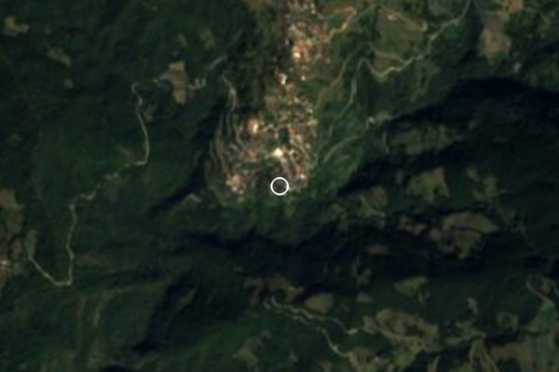


Drive times by road from OpenStreetMap, without traffic. Times marked ~ are estimated from the straight-line distance.
Lists with Cerro de la Adoración
Viewpoints in Oaxaca · 3Something wrong or missing on this page? Suggest a fix or addition
Location from OpenStreetMap. Written by Puebloteca.