

Village San Juan Evangelista, Veracruz
Railway village in southern Veracruz, also called Villa Juanita, on Ferrosur's main line and Highway 145; feast of San José in March.
From Minatitlán: 1 h 20 min by car (86 km by road) How to get there ↓
Near here
See everything nearby ↓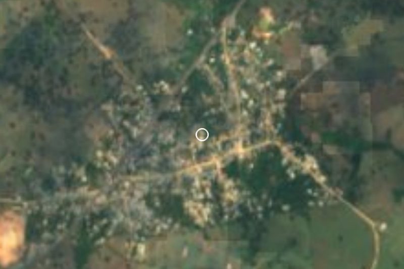


Plan your visit to Estación Juanita
Where to stay near Estación Juanita
Compare hotels, posadas and guest houses in Estación Juanita.
Tours to Estación Juanita
Day trips and guided outings from Veracruz often include Estación Juanita; with a local guide you can get there without a car.
How to get to Estación Juanita
- From Minatitlán: about 1 h 20 min by road (~86 km)
Links open a partner site. We may earn a commission if you book, at no cost to you.
About Estación Juanita
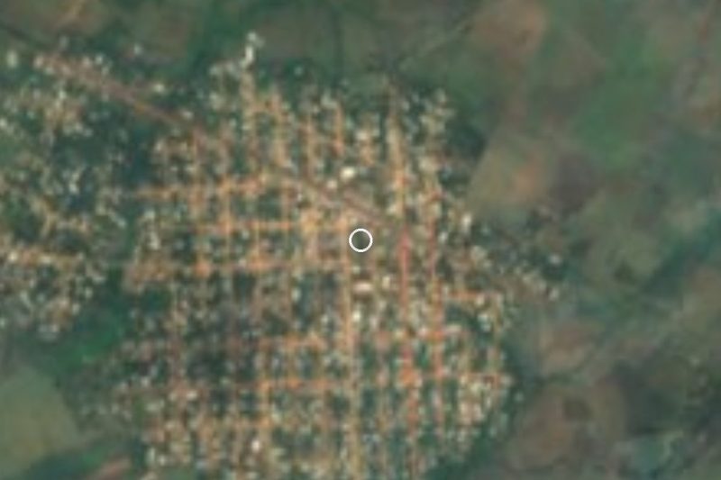
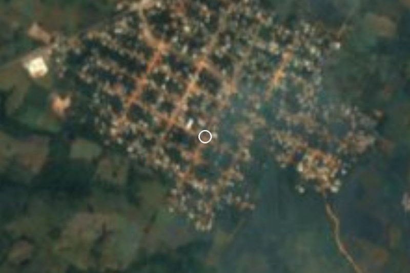
Estación Juanita, also known locally as Villa Juanita, is the second most populous locality in the municipality of San Juan Evangelista, with 3,605 people in 2020 (3,813 in 2010), about 12 km southwest of the municipal seat, out on the hot plains of southern Veracruz at roughly 60 metres above sea level. The name points to what put it on the map: a station on the railway. Ferrosur's Line G, a trunk railway, still runs through, and the old station building was standing beside the tracks when it was photographed in 2011; the street that follows the line is, naturally, Avenida Ferrocarril.
The centre is built around an arcaded plaza, a park with a fountain and a playground, and the Parroquia de San José. Saint Joseph is the patron of the congregación, celebrated from 18 to 20 March, while the municipal seat holds its own feast for Saint John the Evangelist at the end of December.
On the outskirts there are rubber trees, a feed factory near the tracks and, to the south, silica sand deposits worked as sand pits. The municipality is watered by the San Juan River, a tributary of the Papaloapan, and grows maize, beans, rice, oranges and green chiles in a very warm, humid climate with rain in summer and autumn.
How to get to Estación Juanita
Drive from Minatitlán: 1 h 20 min, 86 km
From Acayucan it is about 47 km, some 55 minutes: take Federal Highway 185 south, skirt Sayula de Alemán on its bypass and continue west on Federal Highway 145 for about 21 km to Juanita. From the municipal seat of San Juan Evangelista it is about 24 km, around 35 minutes, also reaching the village on Highway 145. From Minatitlán, the nearest large city, use the 145D toll road to the Sayula area and then the free 145: about 86 km, roughly an hour and a half. Acayucan's bus station, served by ADO, is the handiest connection with Veracruz and Coatzacoalcos.
Directions to Estación Juanita on Google Maps
Distances are in a straight line; the road is usually longer.
Links open a partner site. We may earn a commission if you book, at no cost to you.
From the nearest cities to Estación Juanita
- Minatitlán · 86 km by road, 1 h 20 min
- Coatzacoalcos · 105 km by road, 1 h 35 min
- San Andrés Tuxtla · 119 km by road, 2 h 5 min
Drive times by road from OpenStreetMap, without traffic or stops. Times marked ~ are estimated from the straight-line distance.
Visiting Estación Juanita: what to see and do
The old railway station building beside the tracks.
Ferrosur's main line running through the village.
The arcaded plaza and the park with its fountain.
The Parroquia de San José.
The feast of San José, 18 to 20 March.
The silica sand pits south of the village.
Plan your trip
Places to stay in Estación Juanita
Compare hotels, posadas, and rentals in and around Estación Juanita.
Tours & activities
Day trips and guided outings from Veracruz often include Estación Juanita; with a local guide you can get there without a car.
Mobile data
Signal can drop away from Veracruz: download a map of the way to Estación Juanita before you set out, or carry an eSIM with data.
Links open a partner site. We may earn a commission if you book, at no cost to you.
Closest to Estación Juanita
-
Aguilera · Village · 22 km away
-
Acayucan · Town · 36 km away
-
Corral Nuevo · Village · 36 km away
-
Juan Díaz Covarrubias · Village · 39 km away
Near Estación Juanita






Drive times by road from OpenStreetMap, without traffic. Times marked ~ are estimated from the straight-line distance.
Location from OpenStreetMap. Written by Puebloteca.