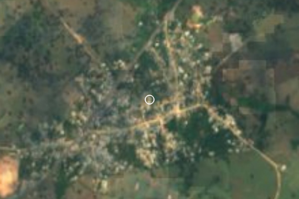
Village Sayula de Alemán, Veracruz
Sayula de Alemán's second-largest village, on the Transístmica highway (185), 11 km south of the municipal seat on the plains of southern Veracruz.
From Minatitlán: 45 min by car (58 km by road) How to get there ↓
Near here
See everything nearby ↓



Plan your visit to Aguilera
Where to stay near Aguilera
Compare hotels, posadas and guest houses in Aguilera.
Tours to Aguilera
Day trips and guided outings from Veracruz often include Aguilera; with a local guide you can get there without a car.
Links open a partner site. We may earn a commission if you book, at no cost to you.
About Aguilera
After the town of Sayula de Alemán itself, Aguilera is the most populous place in the municipality: the 2020 census recorded 3,164 residents. It stretches along Federal Highway 185, the Transístmica road linking Coatzacoalcos with Salina Cruz, about 11 km south of the municipal seat and some 120 metres above sea level.
The surroundings are the broad lowlands of southeastern Veracruz: almost flat, gently rolling land where grassland covers nine-tenths of the municipality and patches of forest keep mahogany, amate, jiniquil and palo de agua trees. It is hot all year, averaging 24 to 26 °C, with 1,500 to 2,000 mm of rain, mostly in summer. Sayula is a crossroads: Highways 145 and 185 meet here, and the trans-isthmus railway and the Córdoba-Medias Aguas line join within the municipality.
Festive life centres on Sayula, where on 15 May Saint Isidore the Farmer is paraded on an ox cart decked with tissue paper, escorted by riders and followed by a fandango of jarana players outside the town hall, and on 15 August the Virgin of the Assumption is celebrated. Local crafts include brooms, palm fans and clay griddles and pots, and the food runs to tamal de tigre (masa with chipo beans), red mole, chipil mole and popo.
How to get to Aguilera
Drive from Minatitlán: 45 min, 58 km
Aguilera lies on Federal Highway 185 (the Transístmica), on the stretch from Sayula de Alemán toward Matías Romero. From Sayula it is about 11 km, some 10 minutes south. From Acayucan it is about 19 km and around 20 minutes on the same Highway 185. From Minatitlán it is about 59 km, roughly 50 minutes: the 145D toll road west to Acayucan, then Highway 185 south. Acayucan's bus station on Calle Manuel Acuña is served by ADO, OCC and Autobuses Unidos from Mexico City's TAPO (8 h 30 min to nearly 10 h), Coatzacoalcos (1 h 25 min to 1 h 50 min) and Minatitlán (about 50 min). We found no published colectivo timetable between Acayucan or Sayula and Aguilera; the last stretch along Highway 185 is by taxi or local transport.
Directions to Aguilera on Google Maps
Distances are in a straight line; the road is usually longer.
Links open a partner site. We may earn a commission if you book, at no cost to you.
From the nearest cities to Aguilera
- Minatitlán · 58 km by road, 45 min
- Coatzacoalcos · 77 km by road, 1 h
- San Andrés Tuxtla · 112 km by road, 1 h 50 min
Drive times by road from OpenStreetMap, without traffic or stops. Times marked ~ are estimated from the straight-line distance.
Visiting Aguilera: what to see and do
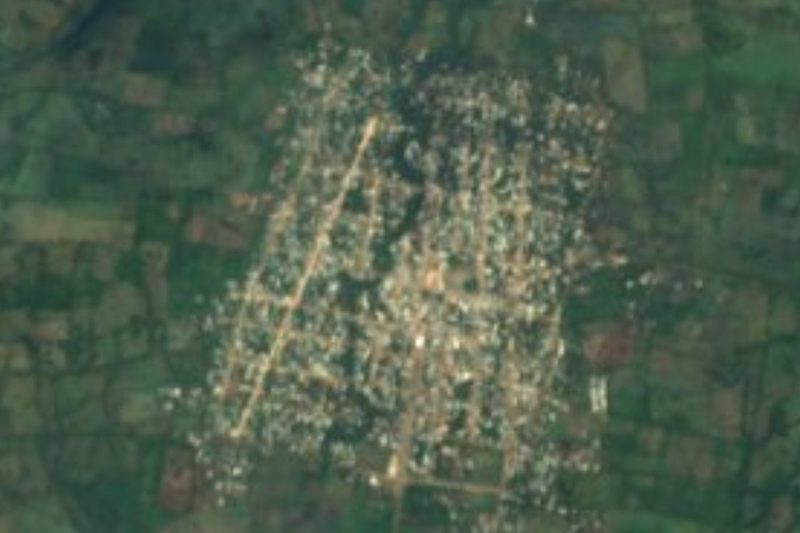
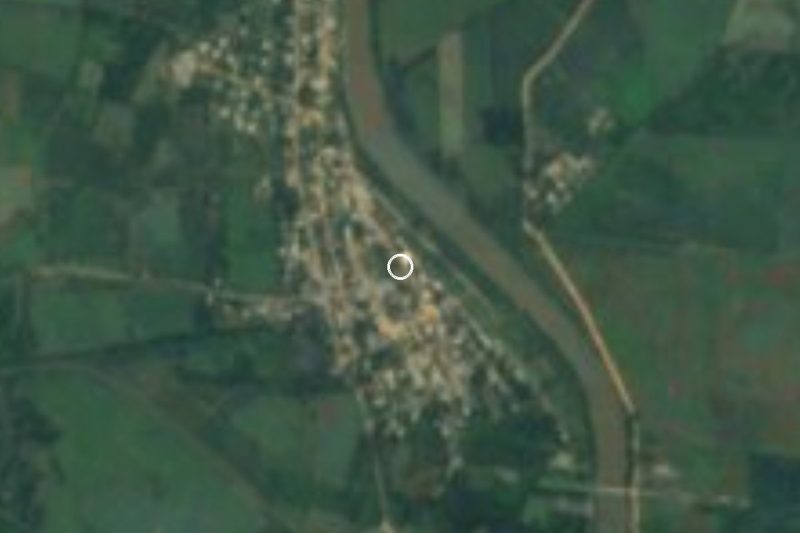
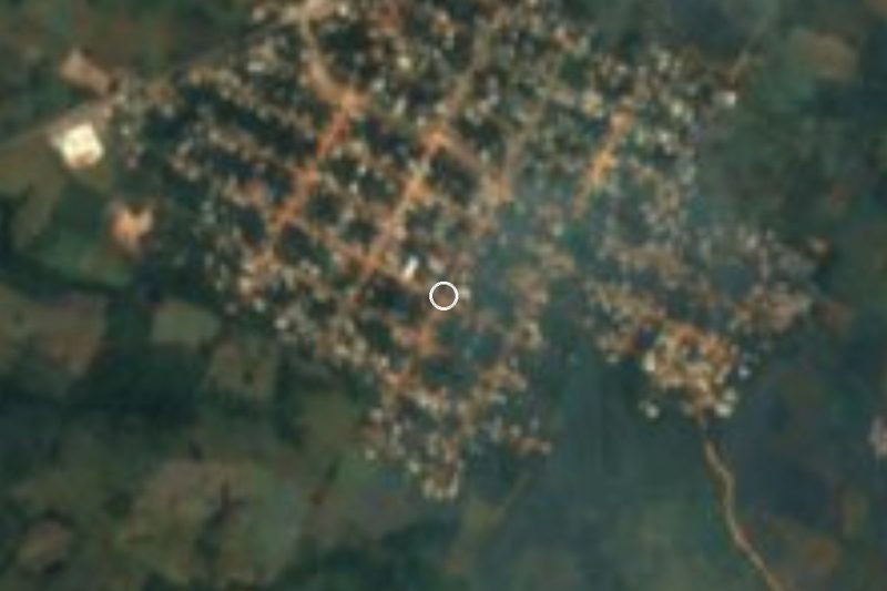
The village strung along the Transístmica highway.
The pastures and forest patches of the Sotavento plain.
In Sayula de Alemán: the statue of Miguel Alemán Valdés and the old theatre.
Saint Isidore's feast in Sayula, 15 May, with an ox cart procession and fandango.
The feast of the Virgin of the Assumption, 15 August.
Regional food: tamal de tigre, chipil mole and popo.
Plan your trip
Places to stay in Aguilera
Compare hotels, posadas, and rentals in and around Aguilera.
Tours & activities
Day trips and guided outings from Veracruz often include Aguilera; with a local guide you can get there without a car.
Mobile data
Signal can drop away from Veracruz: download a map of the way to Aguilera before you set out, or carry an eSIM with data.
Links open a partner site. We may earn a commission if you book, at no cost to you.
Closest to Aguilera
-
Acayucan · Town · 19 km away
-
Estación Juanita · Village · 22 km away
-
Corral Nuevo · Village · 35 km away
-
Jáltipan · Town · 36 km away
-
Juan Díaz Covarrubias · Village · 43 km away
-
Cosoleacaque · Town · 45 km away
-
Huazuntlán · Village · 45 km away
-
Buena Vista · Village · 47 km away


Near Aguilera






Drive times by road from OpenStreetMap, without traffic. Times marked ~ are estimated from the straight-line distance.
Location from OpenStreetMap. Written by Puebloteca.