

City Coatzacoalcos, Veracruz Southern Veracruz (Olmec region)
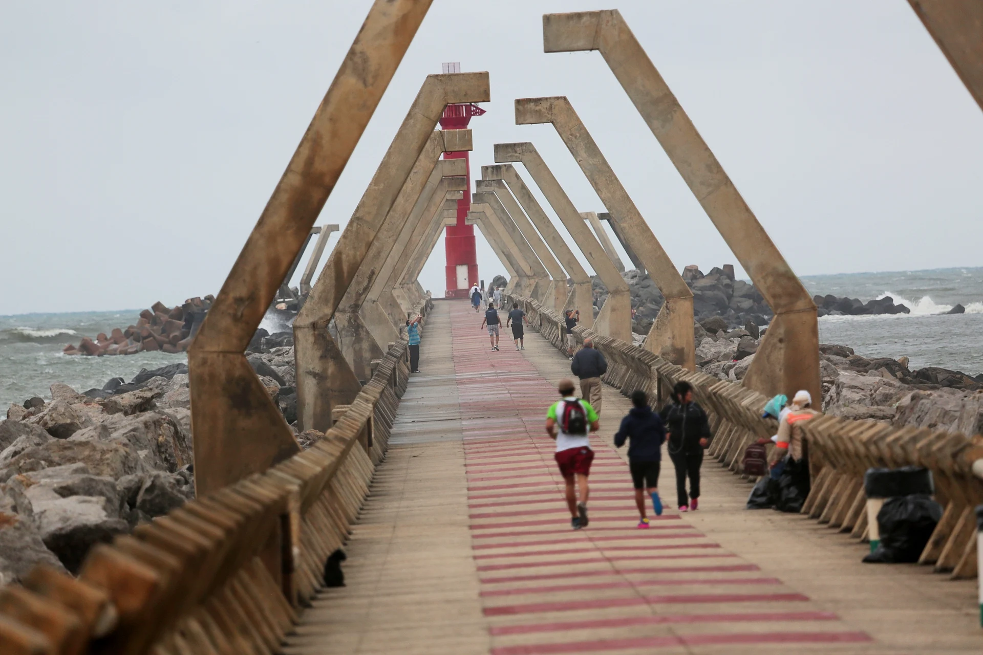
Southern Veracruz's big oil and port city at the mouth of the Coatzacoalcos River, with a long Gulf malecón and a stone jetty out to sea.
From Minatitlán: 20 min by car (22 km by road) How to get there ↓
Near here
See everything nearby ↓


Plan your visit to Coatzacoalcos
Where to stay near Coatzacoalcos
Compare hotels, posadas and guest houses in Coatzacoalcos.
Tours to Coatzacoalcos
Day trips and guided outings from Veracruz often include Coatzacoalcos; with a local guide you can get there without a car.
How to get to Coatzacoalcos
- From Minatitlán: about 20 min by road (~22 km)
Links open a partner site. We may earn a commission if you book, at no cost to you.
About Coatzacoalcos
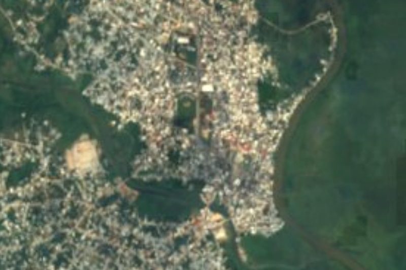
Coatzacoalcos is a port city on the Bay of Campeche in the far south of Veracruz, built mostly on the west bank of the Coatzacoalcos River where it meets the Gulf of Mexico. With 212,540 people at the 2020 census it is the third-largest city in the state after Veracruz and Xalapa, and the head of a metropolitan area that also takes in Nanchital and Ixhuatlán del Sureste. Its name is Nahuatl and is usually translated as "where the snake hides"; a popular legend ties it to Quetzalcóatl, who is said to have set off by raft from here, promising to return. The Pacific port of Salina Cruz is only about 160 km away across the Isthmus of Tehuantepec, which has made the city a crossroads for centuries.
The area lies in the old Olmec heartland, and digging for the river tunnel in 2008 turned up pre-Hispanic pieces from several cultures. When the Spanish arrived, Coatzacoalcos was a regional trading capital; in June 1522 Gonzalo de Sandoval, sent by Cortés, founded the Villa del Espíritu Santo upriver. The municipality was created on 22 December 1881, the town was renamed Puerto México in 1900, became a city in 1911 and took back the name Coatzacoalcos in 1936. In 1907 Porfirio Díaz opened the port's docks together with the Tehuantepec railway, and traffic boomed until the Panama Canal opened. In July 1940 refugees from the Spanish Civil War landed here from the ship Santo Domingo. From the 1970s the oil boom transformed the city: the Pajaritos, Cangrejera and Morelos petrochemical complexes lie nearby, and Pemex's petrochemical arm has its headquarters here.
For visitors, Coatzacoalcos is a working city rather than a resort, but its seafront is lively. The coastal malecón runs for kilometres along the Gulf, lined with hotels, restaurants and cafés, and ends at the Paseo de las Escolleras, a stone jetty of almost a kilometre where people walk out at sunset to watch ships enter the river. A pyramid on the malecón houses a small museum of archaeological finds from the region, and there is a lighthouse museum in the former keeper's house. The local kitchen mixes Gulf seafood with dishes from Tabasco and the Isthmus; minilla, a shredded fish stew, was created here, along with the taminilla tamal filled with it. The patron saint, San José, is celebrated on 19 March, the city's Zapotec community holds its own festivities, and the annual sábalo (tarpon) fishing tournament draws anglers from across the state.
How to get to Coatzacoalcos
Drive from Minatitlán: 20 min, 22 km
Coatzacoalcos is about 310 km southeast of the city of Veracruz (around 3.5 hours by road) and about 170 km west of Villahermosa (around 2 hours). ADO and other lines run from Mexico City's TAPO terminal (7 to 8 hours), Veracruz and Villahermosa to the bus station in the south of the city. The Minatitlán/Coatzacoalcos international airport is about 15 km away in Cosoleacaque.
Directions to Coatzacoalcos on Google Maps
Distances are in a straight line; the road is usually longer.
Links open a partner site. We may earn a commission if you book, at no cost to you.
From the nearest cities to Coatzacoalcos
- Minatitlán · 22 km by road, 20 min
- Cárdenas · 120 km by road, 1 h 25 min
- Villahermosa · 167 km by road, 2 h
Drive times by road from OpenStreetMap, without traffic or stops. Times marked ~ are estimated from the straight-line distance.
Before you go to Coatzacoalcos: hours, prices and tips
- Best time of day
- November to April is drier and milder; September and October are the wettest months and the height of hurricane season. Mexico Travel and Leisure · checked Oct 2026
- Best season
- Fiesta of San José, the patron saint, on 19 March, with processions and Zapotec community festivities; Easter week events on the beach. Wikipedia (es) · checked Oct 2026
Hours and prices change, especially around holidays. Each fact links to where we checked it.
Visiting Coatzacoalcos: what to see and do
Walk the coastal malecón along the Gulf, best at the end of the afternoon.
Go out along the Paseo de las Escolleras, the stone jetty at the river mouth, to watch ships pass at sunset.
Visit the small archaeology museum inside the pyramid on the malecón.
See the Museo del Faro in the old lighthouse keeper's house.
Try minilla or taminilla, and seafood at the Mercado 9 de Febrero.
Plan your trip
Places to stay in Coatzacoalcos
Compare hotels, posadas, and rentals in and around Coatzacoalcos.
Tours & activities
Day trips and guided outings from Veracruz often include Coatzacoalcos; with a local guide you can get there without a car.
Mobile data
Signal can drop away from Veracruz: download a map of the way to Coatzacoalcos before you set out, or carry an eSIM with data.
Links open a partner site. We may earn a commission if you book, at no cost to you.
Photos
Closest to Coatzacoalcos
-
Allende · Town · 5 km away
-
Nanchital de Lázaro Cárdenas del Río · Town · 8 km away
-
Minatitlán · City · 21 km away
-
Cosoleacaque · Town · 27 km away
-
Jáltipan · Town · 36 km away
-
Tatahuicapan · Town · 36 km away
-
Huazuntlán · Village · 38 km away
-
La Venta · Archaeological site · 42 km away


Near Coatzacoalcos




Drive times by road from OpenStreetMap, without traffic. Times marked ~ are estimated from the straight-line distance.
Location from OpenStreetMap. Written by Puebloteca.