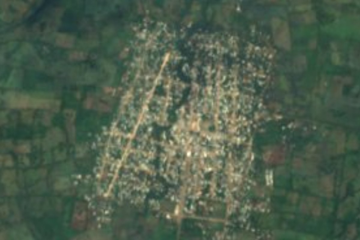
Town Tatahuicapan de Juárez, Veracruz Los Tuxtlas Southern Veracruz (Olmec region)
Nahua municipal seat in the Santa Marta hills south of Los Tuxtlas; its Yuribia dam supplies Coatzacoalcos. San Gabriel feast, 21-25 March.
From Minatitlán: 55 min by car (49 km by road) How to get there ↓
Near here
See everything nearby ↓




Plan your visit to Tatahuicapan
Where to stay near Tatahuicapan
Compare hotels, posadas and guest houses in Tatahuicapan.
Tours to Tatahuicapan
Day trips around Veracruz sometimes stop in Tatahuicapan; a tour is the easy way to see it without a car.
How to get to Tatahuicapan
- From Minatitlán: about 55 min by road (~49 km)
Links open a partner site. We may earn a commission if you book, at no cost to you.
About Tatahuicapan
Much of the water drunk in Coatzacoalcos comes from here. The municipality holds the Yuribia dam on the Texizapan River, which feeds the aqueducts of the Coatzacoalcos–Minatitlán–Cosoleacaque industrial corridor. That dependence gives the town unusual leverage: in September 2006, for example, Nahua and Popoluca communities from the hills shut the dam's valves, cutting water to those cities, to demand public works and compensation after a flood.
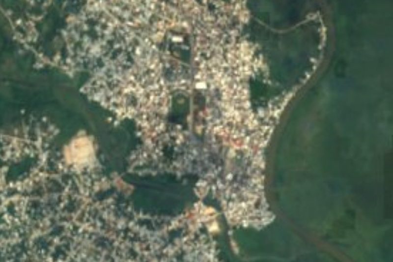
Tatahuicapan is the seat and main town of Tatahuicapan de Juárez municipality, with 8,611 people in 2020. It lies on the southwestern side of the Los Tuxtlas region, near the San Martín and Santa Marta hills, about 140 metres above sea level. The climate is hot, averaging about 25 °C, and very wet, with around 2,900 mm of rain a year. The Tatahuicapan, Zapoapan, Piedra Labrada, Texizapan and Temoloapan rivers cross the area, and the forest still holds deer, peccary, anteaters, toucans and parrots.
The name is Nahuatl, read either as 'burnt river' or 'the grandfather comes from the river'. The town appears in records from 1580 as part of the Coatzacoalcos district. In 1886 its lands, along with those of Soteapan and Mecayapan, were granted to Manuel Romero Rubio; his heirs sold them in 1905 to the British contractor Weetman Pearson, whose company passed them to Pemex in 1948. Residents had petitioned for an ejido since 1934 and only received land after 1952, with final possession between 1963 and 1966. For decades it was a congregación of Mecayapan, until the municipality was created on 20 March 1997 and named after Benito Juárez.
The calendar turns on two feasts: San Gabriel, the patron, from 21 to 25 March, which also marks the municipality's founding, and San Isidro, from 13 to 16 May. The local music is played on the jarana, and local crafts include basketry, pottery and leatherwork. The centre is built around the municipal park, the town hall and the church; from there run the road to Pajapan and the route down to the Gulf coast via Benigno Mendoza and La Perla del Golfo.
How to get to Tatahuicapan
Drive from Minatitlán: 55 min, 49 km
From Coatzacoalcos it is about 60 km and roughly an hour: take Highway 172 towards Minatitlán, then Federal Highway 180 towards Cosoleacaque and Chinameca, and from there the road that climbs north through Huazuntlán (Mecayapan municipality), about 28 km, to Tatahuicapan. From Minatitlán it is about 50 km and 55 minutes, and from Acayucan about 49 km and 57 minutes. Arriving by bus from elsewhere in Mexico, the gateway is the Coatzacoalcos bus station on the south side of the city (ADO, ADO GL, AU, Sotavento and other lines); we found no published timetables for the regional transport up to Tatahuicapan, so ask there or in Chinameca. Towards the sea, the Pajapan road links the town with the Gulf coast.
Directions to Tatahuicapan on Google Maps
Distances are in a straight line; the road is usually longer.
Links open a partner site. We may earn a commission if you book, at no cost to you.
From the nearest cities to Tatahuicapan
- Minatitlán · 49 km by road, 55 min
- Coatzacoalcos · 66 km by road, 1 h 5 min
- San Andrés Tuxtla · 83 km by road, 1 h 50 min
Drive times by road from OpenStreetMap, without traffic or stops. Times marked ~ are estimated from the straight-line distance.
Visiting Tatahuicapan: what to see and do
The municipal park and town hall.
The church in the centre.
The Yuribia dam on the Texizapan River, in the municipality.
The rivers coming down from the hills, such as the Tatahuicapan and the Texizapan.
The feast of San Gabriel, 21 to 25 March.
The feast of San Isidro, 13 to 16 May.
Local basketry, pottery and leatherwork.
Plan your trip
Places to stay in Tatahuicapan
Compare hotels, posadas, and rentals in and around Tatahuicapan.
Tours & activities
Day trips around Veracruz sometimes stop in Tatahuicapan; a tour is the easy way to see it without a car.
Mobile data
Signal can drop away from Veracruz: download a map of the way to Tatahuicapan before you set out, or carry an eSIM with data.
Links open a partner site. We may earn a commission if you book, at no cost to you.
Closest to Tatahuicapan
-
Huazuntlán · Village · 11 km away
-
Buena Vista · Village · 18 km away
-
Cosoleacaque · Town · 31 km away
-
Jáltipan · Town · 32 km away
-
Coatzacoalcos · City · 36 km away
-
Minatitlán · City · 36 km away
-
Acayucan · Town · 37 km away
-
Laguna de Catemaco · Lake · 37 km away


Near Tatahuicapan
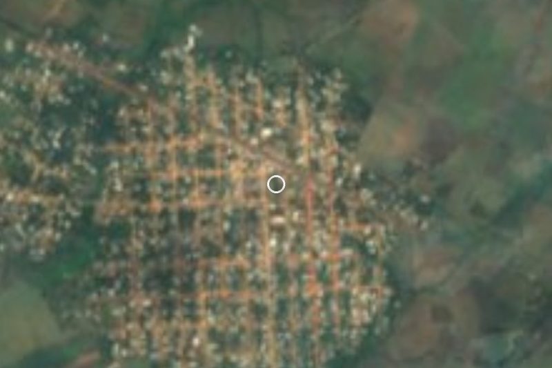

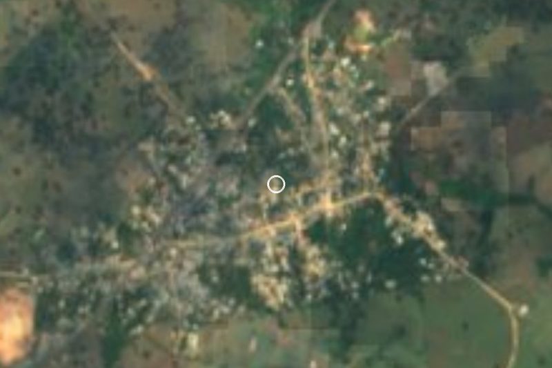




Drive times by road from OpenStreetMap, without traffic. Times marked ~ are estimated from the straight-line distance.
Location from OpenStreetMap. Written by Puebloteca.