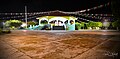
Village Hueyapan de Ocampo, Veracruz Los Tuxtlas
A sugar town on the Gulf Coast highway, born as San Juan Sugar beside the Cuatotolapan mill, with its arched bridge and the Loma de los Ingleses.
From San Andrés Tuxtla: 50 min by car (49 km by road) How to get there ↓
Near here
See everything nearby ↓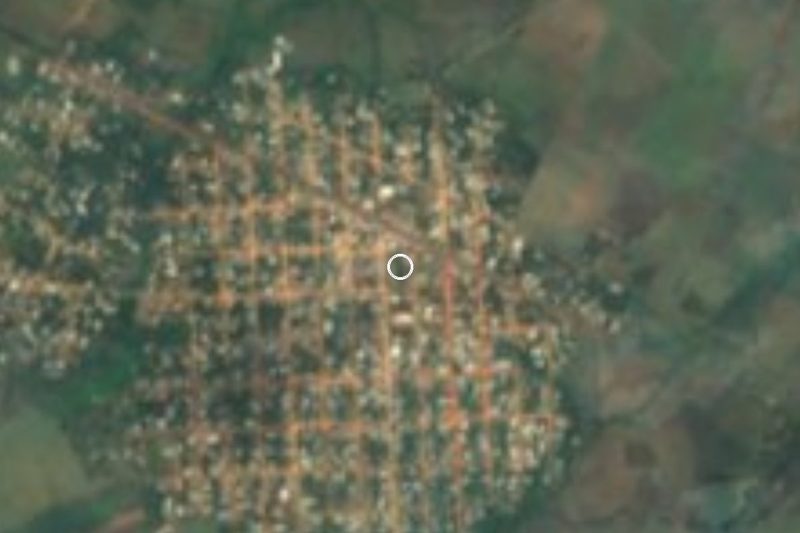


Plan your visit to Juan Díaz Covarrubias
Where to stay near Juan Díaz Covarrubias
Compare hotels, posadas and guest houses in Juan Díaz Covarrubias.
Tours to Juan Díaz Covarrubias
Day trips and guided outings from Veracruz often include Juan Díaz Covarrubias; with a local guide you can get there without a car.
How to get to Juan Díaz Covarrubias
- From San Andrés Tuxtla: about 50 min by road (~49 km)
Links open a partner site. We may earn a commission if you book, at no cost to you.
About Juan Díaz Covarrubias
Juan Díaz Covarrubias is the busiest community in the municipality of Hueyapan de Ocampo in southern Veracruz, about 5 km from the municipal seat and only 21 m above sea level. It has 6,220 residents and holds most of the municipality's shops, services and main roads. Life revolves around the Cuatotolapan sugar mill, which processes cane from a wide area; when growers are paid for the harvest, the money flows through Acayucan, Catemaco, San Andrés Tuxtla and Hueyapan.
The town was first called San Juan Sugar, a nod to the strong British presence at the mill in the early 20th century. During the religious persecution of the Cristero War the hybrid name was dropped in favour of the Xalapa-born poet Juan Díaz Covarrubias. Next to town is the Loma de los Ingleses, the hill where the European technicians who built the mill lived. A railway once hauled cane to the factory and the train is still there; one of its narrow-gauge engines, a 1921 Baldwin sold by the national railways to the Compañía Industrial Azucarera in 1968, is now preserved privately in Jojutla, Morelos. Sugar money pushed construction of the Gulf coast highway between Acayucan and Catemaco from 1955, and drew many migrants from Oaxaca, first as cane cutters and later as traders, so a large share of the town has Oaxacan roots.
Its emblem is an arched bridge made in the United States. It was meant for the road to Miapan de Caldelas, but General Aarón Sáenz Garza had it put up here instead, beside the mill. The climate is hot and humid, averaging about 25 °C, with summer rains and northerly winds (nortes) from September to February. The main festival honours Saint Joseph, the patron, on 19 March, and April brings a carnival with dances, fireworks, horse races and mojigangas (giant puppet figures).
How to get to Juan Díaz Covarrubias
Drive from San Andrés Tuxtla: 50 min, 49 km
Juan Díaz Covarrubias sits on federal highway 180, the Gulf Coast highway. From Catemaco it is about 39 km southeast, roughly 40 minutes; from Acayucan about 43 km northwest on the same highway, around 45 minutes. From San Andrés Tuxtla allow about 45 km and 50 minutes. From Minatitlán, the nearest large city, take highway 185 (the Transístmica) to Acayucan and then the 180: about 84 km, roughly 1 h 20 min. By bus, Catemaco has an ADO terminal with services along the Gulf Coast highway to Veracruz port and Coatzacoalcos, plus AU buses to Mexico City's TAPO; from Catemaco or Acayucan continue along highway 180 by taxi or local transport.
Directions to Juan Díaz Covarrubias on Google Maps
Distances are in a straight line; the road is usually longer.
Links open a partner site. We may earn a commission if you book, at no cost to you.
From the nearest cities to Juan Díaz Covarrubias
- San Andrés Tuxtla · 49 km by road, 50 min
- Minatitlán · 83 km by road, 1 h 20 min
- Coatzacoalcos · 102 km by road, 1 h 30 min
Drive times by road from OpenStreetMap, without traffic or stops. Times marked ~ are estimated from the straight-line distance.
Before you go to Juan Díaz Covarrubias: hours, prices and tips
- Best season
- Saint Joseph, the patron, on 19 March; carnival in April with dances, fireworks, horse races, ribbon tournaments and mojigangas; All Saints on 1–2 November; the Virgin of Guadalupe on 12 December. Wikipedia en español · checked Oct 2026
Hours and prices change, especially around holidays. Each fact links to where we checked it.
Visiting Juan Díaz Covarrubias: what to see and do
The Cuatotolapan sugar mill, the town's engine, busiest during the cane harvest.
The US-made arched bridge that serves as the town's emblem.
The Loma de los Ingleses, where the mill's European technicians lived.
The old cane train that is still kept in town.
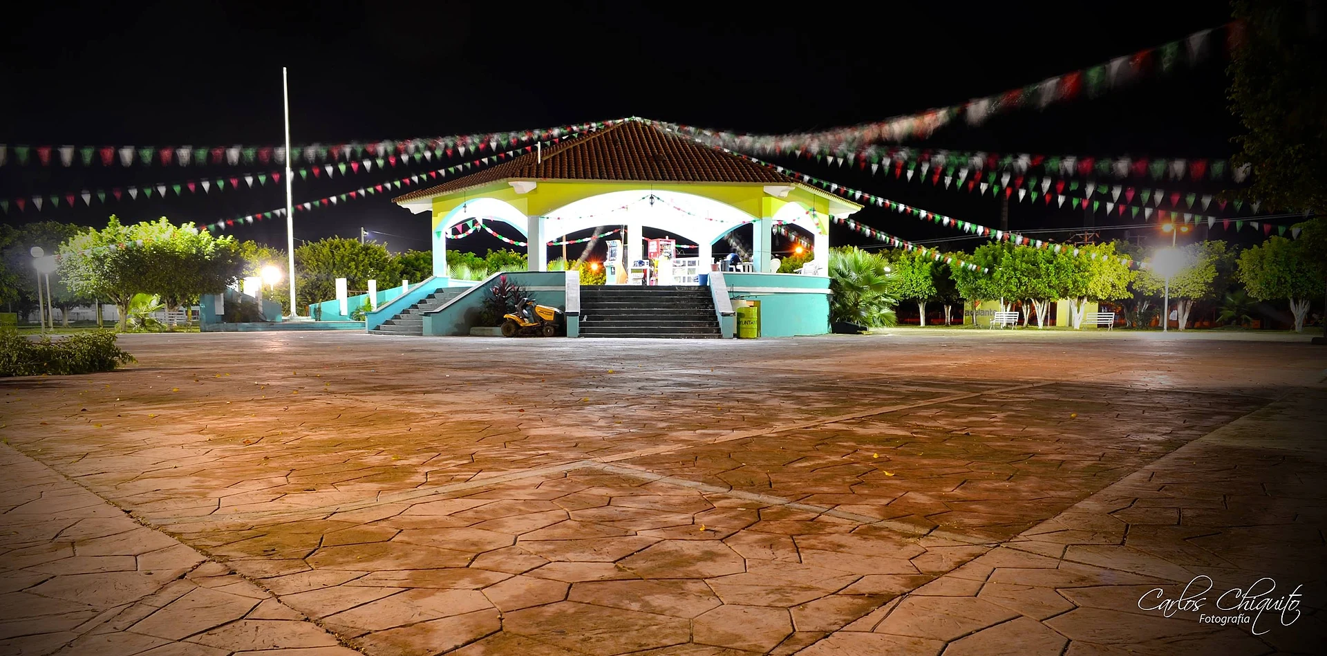
The bandstand on the main plaza.
The Dos Caños river, the municipality's main spot for water sports and recreation.
The Saint Joseph festival (19 March) and the April carnival.
Plan your trip
Places to stay in Juan Díaz Covarrubias
Compare hotels, posadas, and rentals in and around Juan Díaz Covarrubias.
Tours & activities
Day trips and guided outings from Veracruz often include Juan Díaz Covarrubias; with a local guide you can get there without a car.
Mobile data
Signal can drop away from Veracruz: download a map of the way to Juan Díaz Covarrubias before you set out, or carry an eSIM with data.
Links open a partner site. We may earn a commission if you book, at no cost to you.
Closest to Juan Díaz Covarrubias
-
Corral Nuevo · Village · 9 km away
-
Salto de Eyipantla · Waterfall · 25 km away
-
Buena Vista · Village · 28 km away
-
Calería · Village · 30 km away
-
Catemaco · Town · 30 km away
-
Laguna de Catemaco · Lake · 30 km away
-
Sihuapan · Village · 31 km away
-
San Andrés Tuxtla · City · 32 km away


Near Juan Díaz Covarrubias


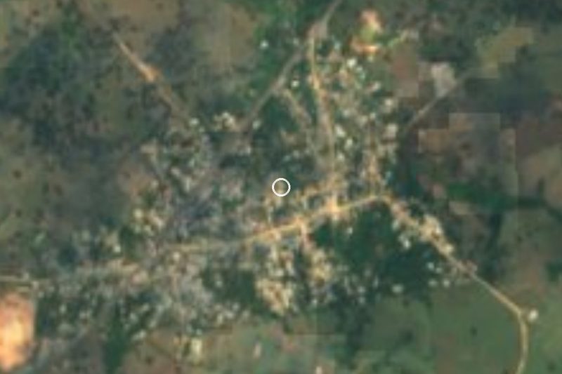



Drive times by road from OpenStreetMap, without traffic. Times marked ~ are estimated from the straight-line distance.
Location from OpenStreetMap. Written by Puebloteca.