Lagoon Catemaco, Veracruz Municipality of Catemaco Los Tuxtlas
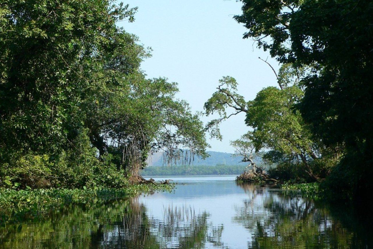
A mangrove-lined coastal lagoon in Los Tuxtlas, a Ramsar site since 2004, joined to the Gulf by a winding channel and visited by migrating birds.
From San Andrés Tuxtla: 50 min by car (43 km by road) How to get there ↓
Near here
See everything nearby ↓


Plan your visit to Laguna Sontecomapan
Where to stay near Laguna Sontecomapan
Compare hotels, posadas and guest houses in Laguna Sontecomapan.
Tours to Laguna Sontecomapan
Day trips and guided outings from Veracruz often include Laguna Sontecomapan; with a local guide you can get there without a car.
How to get to Laguna Sontecomapan
- From San Andrés Tuxtla: about 50 min by road (~43 km)
Links open a partner site. We may earn a commission if you book, at no cost to you.
About Laguna Sontecomapan
Sontecomapan Lagoon fills an alluvial plain between the Los Tuxtlas and Santa Marta ranges in Catemaco municipality, about 10 km northwest of Lake Catemaco. Its protected name is Manglares y Humedales de la Laguna de Sontecomapan: the Ramsar Convention listed it on 2 February 2004 as site no. 1342, covering 8,921 hectares, and it lies within the Los Tuxtlas Biosphere Reserve.
The open water is roughly 3 km wide and 4 km long, with a ragged outline. Rivers from both ranges and the region's heavy rain feed it fresh water, while the sea comes in through a channel about 4 km long that bends sharply east before reaching the Gulf of Mexico. Sand carried by the current has partly closed the mouth, so only launches and other small boats get through.
The Ramsar description singles out an important mangrove forest for the western Gulf coast, together with seasonally flooded low forest, reedbeds and coastal dunes. Migrating birds following the coast between North America and Central and South America stop here, and the site shelters species that are threatened in Mexico, among them the mantled howler monkey, the neotropical otter, the Muscovy duck and the uniform crake. The mangroves are spawning and nursery grounds for sea fish, and the freshwater marshes hold fish found only in this region, such as Priapella olmecae and Atherinella ammophila.
Fishing is the lagoon's main livelihood, with cattle and small farms on its shores. Clearing of the forest is still the biggest threat, though it has slowed since protection. Around 1960 the area was almost empty; today boat trips leave from the dock in Sontecomapan village on the southwest shore and run out to La Barra, the fishing hamlet on the sandbar between lagoon and sea.
How to get to Laguna Sontecomapan
Drive from San Andrés Tuxtla: 50 min, 43 km
You see the lagoon by boat from the dock in Sontecomapan village. From Catemaco it is about 18 km (some 20 minutes) on the road that heads for the coast (towards Playa Azul); from San Andrés Tuxtla, about 29 km and half an hour: take Federal Highway 180 to Catemaco and turn north there. From Coatzacoalcos it is about 158 km, roughly 2.5 hours, on Highway 180 via Acayucan. Without a car, take an ADO bus to Catemaco (services run from Veracruz and from Coatzacoalcos), then a rural taxi or shared pickup to Sontecomapan. Launches to La Barra and through the mangroves are hired at the dock.
Directions to Laguna Sontecomapan on Google Maps
Distances are in a straight line; the road is usually longer.
Links open a partner site. We may earn a commission if you book, at no cost to you.
From the nearest cities to Laguna Sontecomapan
- San Andrés Tuxtla · 43 km by road, 50 min
- Tuxtepec · about 165 km by road, ~2 h 25 min
- Minatitlán · 153 km by road, 2 h 30 min
Drive times by road from OpenStreetMap, without traffic or stops. Times marked ~ are estimated from the straight-line distance.
Visiting Laguna Sontecomapan: what to see and do
A launch trip through the mangrove channels from the Sontecomapan dock
The outlet channel to the sea, with its 4 km bend
La Barra, the fishing hamlet on the sandbar, with a Gulf beach
Poza de los Enanos, a shallow spring on the shore
Migrating and water birds in season
Jicacal beach, near the lagoon
Plan your trip
Places to stay in Laguna Sontecomapan
Compare hotels, posadas, and rentals in and around Laguna Sontecomapan.
Tours & activities
Day trips and guided outings from Veracruz often include Laguna Sontecomapan; with a local guide you can get there without a car.
Mobile data
Signal can drop away from Veracruz: download a map of the way to Laguna Sontecomapan before you set out, or carry an eSIM with data.
Links open a partner site. We may earn a commission if you book, at no cost to you.
Closest to Laguna Sontecomapan
-
Sontecomapan · Village · 4 km away
-
Nanciyaga · Nature reserve · 11 km away
-
Laguna de Catemaco · Lake · 15 km away
-
Montepío · Beach · 15 km away
-
Catemaco · Town · 16 km away
-
Calería · Village · 21 km away
-
Sihuapan · Village · 21 km away
-
San Andrés Tuxtla · City · 23 km away


Near Laguna Sontecomapan


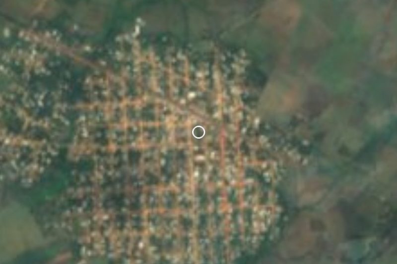


Drive times by road from OpenStreetMap, without traffic. Times marked ~ are estimated from the straight-line distance.
Lists with Laguna Sontecomapan
Lakes and Lagoons in Veracruz · 5Location from OpenStreetMap. Written by Puebloteca.