Town Lerdo de Tejada, Veracruz
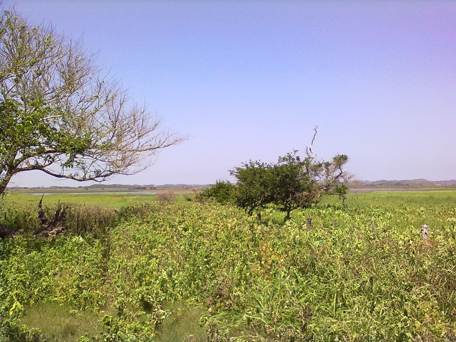
A sugar town on Highway 180 between Alvarado and Los Tuxtlas, beside the La Popotera Ramsar wetland and 32 km from Tlacotalpan.
From San Andrés Tuxtla: 55 min by car (49 km by road) How to get there ↓
Near here
See everything nearby ↓


Plan your visit to Lerdo de Tejada
Where to stay near Lerdo de Tejada
Compare hotels, posadas and guest houses in Lerdo de Tejada.
Tours to Lerdo de Tejada
Day trips around Veracruz sometimes stop in Lerdo de Tejada; a tour is the easy way to see it without a car.
How to get to Lerdo de Tejada
- From San Andrés Tuxtla: about 55 min by road (~49 km)
Links open a partner site. We may earn a commission if you book, at no cost to you.
About Lerdo de Tejada
Lerdo de Tejada is a sugar town on the coastal plain of southern Veracruz, just 10 metres above sea level and about 207 km by road south-east of Xalapa. It is the seat of the municipality of the same name and holds more than 90 per cent of its people: 17,727 at the 2020 census. It is named after Sebastián Lerdo de Tejada, the Xalapa-born president of Mexico.
People lived here long before the Spanish. The Codex Mendoza names Tlazintla, a calpulli of Tlacotalpan located in what is now Lerdo, and after the conquest the spot served as the landing for one of New Spain's first sugar mills, the one Hernán Cortés built near San Andrés Tuxtla. Today's town began as the ranchería of San Francisco Naranjal, founded around 1876 by settlers from San Andrés and Santiago Tuxtla. In 1899 the San Francisco sugar works, one of the most modern sugar and alcohol plants in Mexico at the time, opened beside it, and Naranjal grew so fast that in 1901 it became the seat of the Saltabarranca municipality. It split off as a municipality of its own in 1923, took the name Lerdo de Tejada that same year, and was made a city in 1967. In the mid-1940s it was still linked to the port of Alvarado by river, and in 1950 President Miguel Alemán opened the Alvarado–Lerdo–San Andrés Tuxtla highway.
Sugar cane is still the backbone of the economy, although falling sugar prices after 2011 shut the San Francisco Naranjal mill; the San Pedro mill south-west of town keeps grinding and produced 119,150 tonnes of sugar in the 2014–2015 season. Water surrounds the town: streams feeding the Alvarado lagoon, estuaries, the small Laguna del Márquez on the border with Ángel R. Cabada and, shared with Alvarado, the La Popotera wetland, a Ramsar site drained by the San Agustín River, a tributary of the Papaloapan. The climate is hot and humid, with heavy summer rain.
How to get to Lerdo de Tejada
Drive from San Andrés Tuxtla: 55 min, 49 km
Lerdo de Tejada sits on Federal Highway 180, the Gulf coast road. From the ADO bus terminal in the port of Veracruz it is about 105 km and 1 h 40 min: leave on Avenida Miguel Alemán, take a short stretch of toll road 150D and then Highway 180 south along the coast past Boca del Río, Alvarado and the Alvarado bridge. From Tlacotalpan it is about 32 km and half an hour: Highway 175 to its junction with Highway 180 in the south of the Alvarado municipality, then Highway 180 east. From San Andrés Tuxtla it is about 48 km west on the same Highway 180, close to an hour.
Directions to Lerdo de Tejada on Google Maps
Distances are in a straight line; the road is usually longer.
Links open a partner site. We may earn a commission if you book, at no cost to you.
From the nearest cities to Lerdo de Tejada
- San Andrés Tuxtla · 49 km by road, 55 min
- Veracruz · 108 km by road, 1 h 40 min
- Tuxtepec · 136 km by road, 2 h 20 min
Drive times by road from OpenStreetMap, without traffic or stops. Times marked ~ are estimated from the straight-line distance.
Visiting Lerdo de Tejada: what to see and do
See the cane fields and, during the harvest, the bustle around the San Pedro sugar mill.
Look out over the La Popotera wetlands, a Ramsar site shared with Alvarado.
Find the Laguna del Márquez on the municipality's eastern edge.
Visit Tlacotalpan, about 32 km away, and Alvarado on the same Highway 180.
Carry on east to San Andrés Tuxtla and Los Tuxtlas, less than an hour away.
Plan your trip
Places to stay in Lerdo de Tejada
Compare hotels, posadas, and rentals in and around Lerdo de Tejada.
Tours & activities
Day trips around Veracruz sometimes stop in Lerdo de Tejada; a tour is the easy way to see it without a car.
Mobile data
Signal can drop away from Veracruz: download a map of the way to Lerdo de Tejada before you set out, or carry an eSIM with data.
Links open a partner site. We may earn a commission if you book, at no cost to you.
Closest to Lerdo de Tejada
-
El Escobillal · Village · 11 km away
-
Tlacotalpan · Town · 15 km away
-
La Florida · Village · 16 km away
-
Tres Zapotes · Archaeological site · 20 km away
-
Santiago Tuxtla · Town · 29 km away
-
Alvarado · Town · 30 km away
-
San Andrés Tuxtla · City · 38 km away
-
Cosamaloapan · Town · 41 km away


Near Lerdo de Tejada


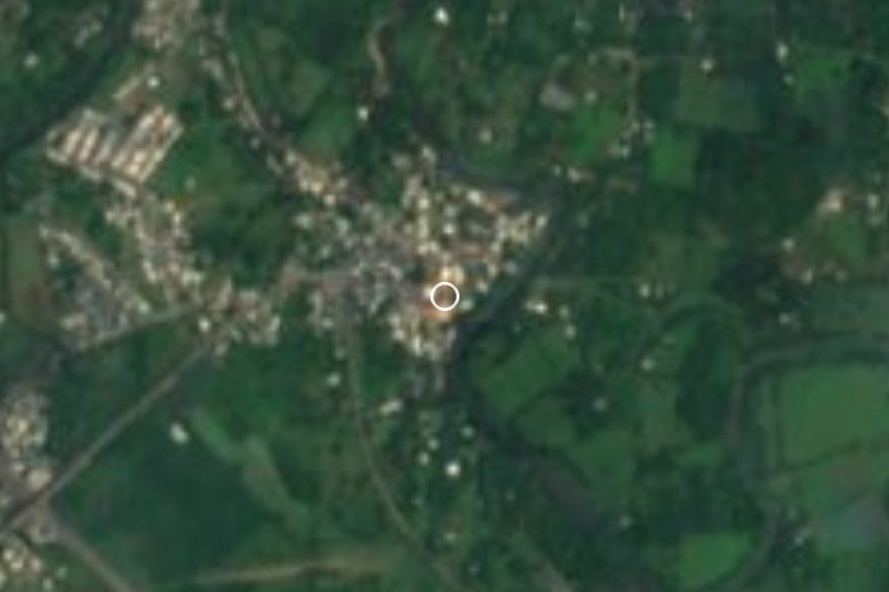
Drive times by road from OpenStreetMap, without traffic. Times marked ~ are estimated from the straight-line distance.
Location from OpenStreetMap. Written by Puebloteca.