Village San Andrés Tuxtla, Veracruz Municipality of San Andrés Tuxtla Los Tuxtlas
Los Tuxtlas village 3 km from San Andrés Tuxtla, joined to Sihuapan and next to Matacapan, on the way to the Eyipantla falls.
From San Andrés Tuxtla: 5 min by car (5 km by road) How to get there ↓
Near here
See everything nearby ↓


Plan your visit to Calería
Where to stay near Calería
Compare hotels, posadas and guest houses in Calería.
Tours to Calería
Day trips and guided outings from Veracruz often include Calería; with a local guide you can get there without a car.
How to get to Calería
- From San Andrés Tuxtla: about 5 min by road (~5 km)
Links open a partner site. We may earn a commission if you book, at no cost to you.
About Calería
Calería is just 3 km from San Andrés Tuxtla, at about 240 metres above sea level among the volcanic hills of Los Tuxtlas. It is less a standalone village than one link in a chain of settlements that almost run into each other: Comoapan, Matacapan and Sihuapan. With Sihuapan there is no visible boundary at all, only the name changes, and together the two have roughly 15,000 people.
The neighbours' names come from Nahuatl and all refer to rivers: Sihuapan is read as "river of the women", Comoapan as "river of the pots" and Matacapan as "river where one digs by hand". Matacapan also lends its name to a Classic-period archaeological site in the Tuxtla mountains.
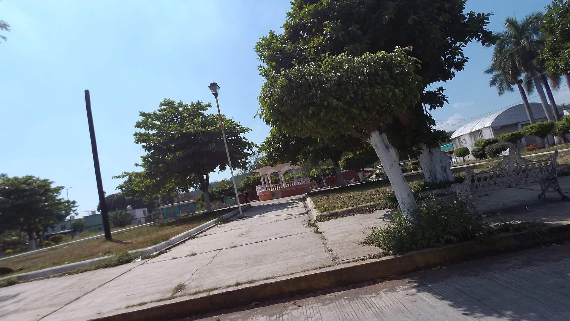
The whole region is tobacco country, dotted with volcanic cones; San Martín Tuxtla, which erupted in 1664 and 1793, is among the most active volcanoes in the range. For visitors, Calería is mainly a stop on the way to the Salto de Eyipantla waterfall, about 7 km away, and a quieter alternative to central San Andrés. Its plaza has a bandstand shaded by trees.
How to get to Calería
Drive from San Andrés Tuxtla: 5 min, 5 km
Calería is about 4 km from central San Andrés Tuxtla, around 6 minutes by car: leave town on Federal Highway 180 towards Catemaco and the village begins within a few kilometres. From Catemaco it is about 8 km on the same highway, roughly 10 minutes, and from the Salto de Eyipantla about 7 km along Avenida Sihuapan. San Andrés has an ADO terminal 1 km from its centre with buses to Veracruz, Catemaco and Coatzacoalcos; the city of Veracruz is about 155 km away on Highway 180, some 3 hours. Minatitlán, the nearest large city to the south, is roughly 95 minutes away.
Directions to Calería on Google Maps
Distances are in a straight line; the road is usually longer.
Links open a partner site. We may earn a commission if you book, at no cost to you.
From the nearest cities to Calería
- San Andrés Tuxtla · 5 km by road, 5 min
- Minatitlán · 122 km by road, 2 h
- Tuxtepec · about 140 km by road, ~2 h 5 min
Drive times by road from OpenStreetMap, without traffic or stops. Times marked ~ are estimated from the straight-line distance.
Visiting Calería: what to see and do
The bandstand in Calería's plaza.
The Salto de Eyipantla waterfall, about 7 km away.
The neighbouring villages of Sihuapan, Comoapan and Matacapan.
The tobacco fields of Los Tuxtlas.
San Martín Tuxtla volcano, last active in 1793.
Plan your trip
Places to stay in Calería
Compare hotels, posadas, and rentals in and around Calería.
Tours & activities
Day trips and guided outings from Veracruz often include Calería; with a local guide you can get there without a car.
Mobile data
Signal can drop away from Veracruz: download a map of the way to Calería before you set out, or carry an eSIM with data.
Links open a partner site. We may earn a commission if you book, at no cost to you.
Closest to Calería
-
Sihuapan · Village · 1 km away
-
San Andrés Tuxtla · City · 4 km away
-
Salto de Eyipantla · Waterfall · 6 km away
-
Catemaco · Town · 7 km away
-
Laguna de Catemaco · Lake · 12 km away
-
Nanciyaga · Nature reserve · 12 km away
-
Santiago Tuxtla · Town · 13 km away
-
Sontecomapan · Village · 17 km away


Near Calería


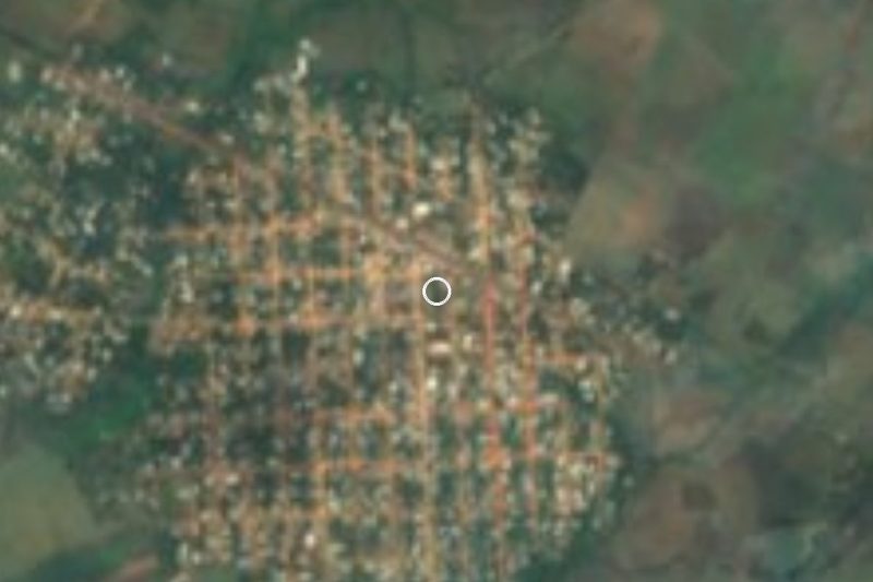


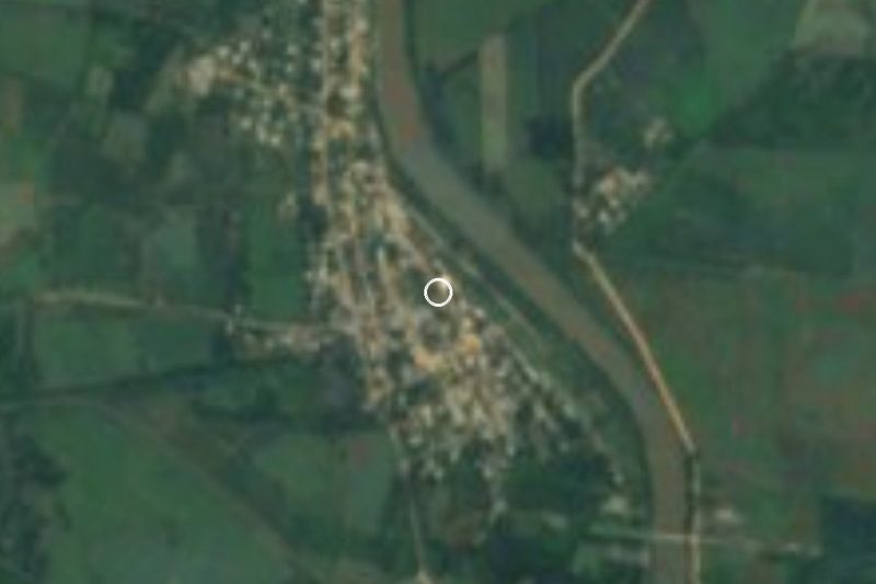

Drive times by road from OpenStreetMap, without traffic. Times marked ~ are estimated from the straight-line distance.
Location from OpenStreetMap. Written by Puebloteca.