City San Andrés Tuxtla, Veracruz Municipality of San Andrés Tuxtla Los Tuxtlas
The largest city of Los Tuxtlas, under the San Martín volcano, and the centre of Mexico's fine cigar tobacco since the 19th century.
From Minatitlán: 2 h 5 min by car (131 km by road) How to get there ↓
Near here


Plan your visit to San Andrés Tuxtla
Where to stay near San Andrés Tuxtla
Compare hotels, posadas and guest houses in San Andrés Tuxtla.
Tours to San Andrés Tuxtla
Day trips and guided outings from Veracruz often include San Andrés Tuxtla; with a local guide you can get there without a car.
How to get to San Andrés Tuxtla
- From Minatitlán: about 2 h 5 min by road (~131 km)
Links open a partner site. We may earn a commission if you book, at no cost to you.
About San Andrés Tuxtla
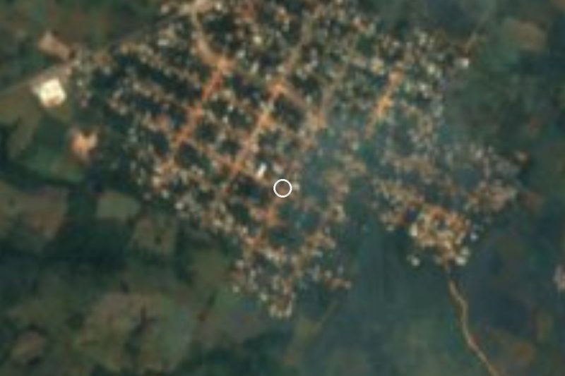
San Andrés Tuxtla is the largest city of the Los Tuxtlas region in southern Veracruz, set in a small valley at about 300 m with the San Martín volcano rising above it. The city had 64,445 people at the 2020 census and the municipality 162,428, spread over 261 communities that run north to the Gulf coast. It is the commercial and administrative hub of the area, about 12 km west of Catemaco and 12 km east of Santiago Tuxtla on Federal Highway 180.
In the 16th century the area belonged to Santiago Tuxtla, part of the lands granted to Hernán Cortés. An eruption of San Martín in 1530 pushed people from Ixtlán into this valley, then called Tzacoalco, and the settlement was recognised in 1580. After independence it outgrew Santiago: the municipality was created in 1825, the town became its seat in 1826, and it was declared a city in 1893 (between 1932 and 1938 it was officially called Los Tuxtlas). Its fortune was tobacco. From about 1830 Cuban and European immigrants found the soil and climate right for fine leaf, and the area became the centre of Mexican cigar making; the first strike in the industry broke out at the El Destino factory in 1896. In the 20th century the state company Tabamex bought leaf here, and today small and medium factories still roll cigars by hand, many for export to the United States and Europe. Rollers (torcedores) train for about two years.
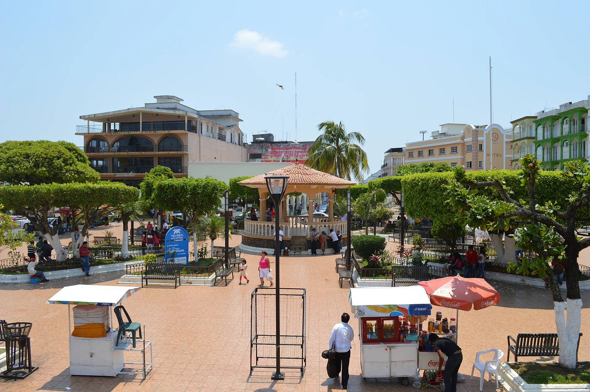
The centre is Parque Lerdo, a square with a round kiosk where the city holds music and dance on Sundays, including fandango and zapateado. Above it stands the Cathedral of San José y San Andrés, with tall bell towers and a sober Neoclassical front; it took more than half a century to build and was inaugurated in 1950. The Museo Regional, opened in 2008, shows objects from the Olmecs to the tobacco boom, many donated by residents. Saint Andrew is celebrated on 29 and 30 November with a reed bull run through the streets, a parade of giant papier-mâché mojigangas and a procession; Las Ramas, on 16 December, opens the posadas. Cigar factories such as Santa Clara, on Boulevard 5 de Febrero near the bus station, sell at factory prices and let visitors watch the rollers.
How to get to San Andrés Tuxtla
Drive from Minatitlán: 2 h 5 min, 131 km
San Andrés Tuxtla is on Federal Highway 180, about 155 km (roughly 3 hours) southeast of the city of Veracruz; from Mexico City or the north, the Autopista del Sur has an exit at the Los Tuxtlas–Isla junction. The ADO bus station is about 1 km from the centre, with services to Catemaco, Veracruz, Coatzacoalcos, Villahermosa and other cities. Catemaco is about 12 km east and Santiago Tuxtla 12 km west.
Directions to San Andrés Tuxtla on Google Maps
Distances are in a straight line; the road is usually longer.
Links open a partner site. We may earn a commission if you book, at no cost to you.
From the nearest cities to San Andrés Tuxtla
- Minatitlán · 131 km by road, 2 h 5 min
- Tuxtepec · 133 km by road, 2 h 15 min
- Coatzacoalcos · 151 km by road, 2 h 20 min
Drive times by road from OpenStreetMap, without traffic or stops. Times marked ~ are estimated from the straight-line distance.
What to see in San Andrés Tuxtla 2
Sights with their own page, closest to the centre first.
Beaches
-
Montepío · Beach · 25 km from the centre
A Los Tuxtlas beach hamlet where two rivers off the San Martín volcano meet the Gulf; fish palapas about 40 km from Catemaco.

Waterfalls
-
Salto de Eyipantla · Waterfall · 7 km from the centre
The biggest waterfall in Los Tuxtlas, about 40 m wide and 50 m high, reached down 244 steps; a location for Apocalypto.
Map of San Andrés Tuxtla
Neighbourhoods and villages of San Andrés Tuxtla
Part of San Andrés Tuxtla or just outside it, closest first.
-
Calería · Village · 4 km from the centre
Los Tuxtlas village 3 km from San Andrés Tuxtla, joined to Sihuapan and next to Matacapan, on the way to the Eyipantla falls. -
Sihuapan · Village · 4 km from the centre
Los Tuxtlas village on Highway 180 between San Andrés Tuxtla and Catemaco, joined to Calería and 8 km from the Eyipantla falls.
Day trips and tours from San Andrés Tuxtla
The closest Pueblos Mágicos and places to visit, with the drive from San Andrés Tuxtla and tours that leave from it.


All 5 Pueblos Mágicos within a weekend of San Andrés Tuxtla →
Times marked ~ are estimated from the distance. Links open a partner site. We may earn a commission if you book, at no cost to you.
Before you go: getting to and around San Andrés Tuxtla
- The nearest airport is Veracruz (VER).
- 4 of the places on this page are more than 3 km from the centre: take a taxi, a ride-hailing app or a local bus.
- For day trips a rental car gives the most freedom; the tours above leave from San Andrés Tuxtla.
Before you go to San Andrés Tuxtla: hours, prices and tips
- Best season
- Fiesta of San Andrés on 29–30 November, with the reed bull, mojigangas and procession; Las Ramas on 16 December. Wikipedia (San Andrés Tuxtla) · checked Oct 2026
Hours and prices change, especially around holidays. Each fact links to where we checked it.
Visiting San Andrés Tuxtla: what to see and do
Spend an evening in Parque Lerdo, with music and dance on Sundays.
See the Cathedral of San José y San Andrés, inaugurated in 1950.
Watch cigars being rolled by hand at a factory such as Santa Clara.
Visit the Museo Regional and the Casa de Cultura for pre-Hispanic pieces.
Come on 29–30 November for the fiesta of San Andrés and its mojigangas.
Drive about 12 km to the Salto de Eyipantla.
Plan your trip
Places to stay in San Andrés Tuxtla
Compare hotels, posadas, and rentals in and around San Andrés Tuxtla.
Tours & activities
Day trips and guided outings from Veracruz often include San Andrés Tuxtla; with a local guide you can get there without a car.
Mobile data
Signal can drop away from Veracruz: download a map of the way to San Andrés Tuxtla before you set out, or carry an eSIM with data.
Links open a partner site. We may earn a commission if you book, at no cost to you.
Near San Andrés Tuxtla


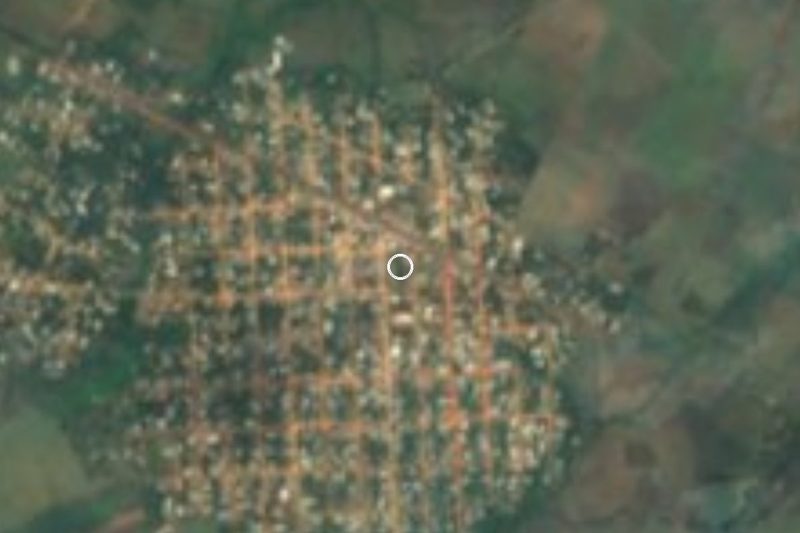

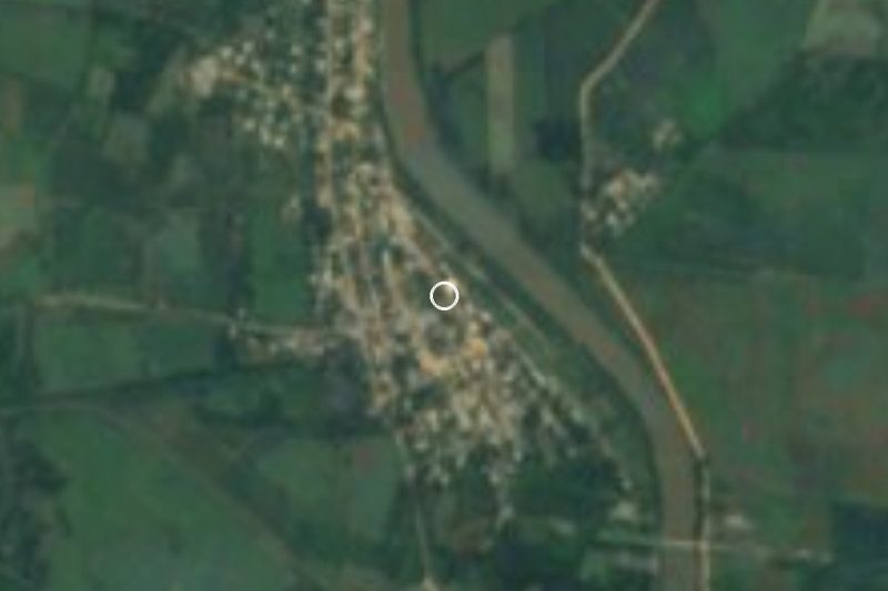



Drive times by road from OpenStreetMap, without traffic. Times marked ~ are estimated from the straight-line distance.
Location from OpenStreetMap. Written by Puebloteca.