

Village Mecayapan, Veracruz Los Tuxtlas Southern Veracruz (Olmec region)
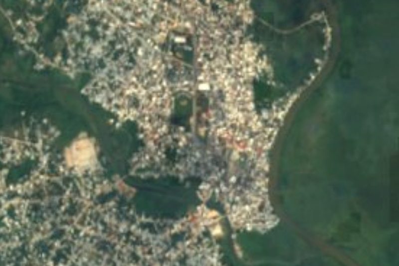
Nahua village of Mecayapan below the Sierra de Santa Marta, with the Huazuntlán river and its bathing spot; about 40 minutes from Minatitlán.
From Minatitlán: 40 min by car (38 km by road) How to get there ↓
Near here
See everything nearby ↓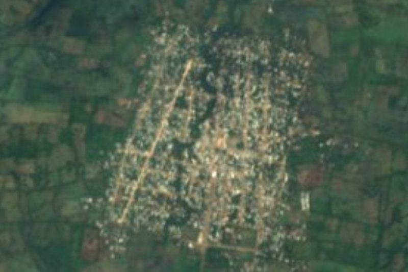



Plan your visit to Huazuntlán
Where to stay near Huazuntlán
Compare hotels, posadas and guest houses in Huazuntlán.
Tours to Huazuntlán
Day trips and guided outings from Veracruz often include Huazuntlán; with a local guide you can get there without a car.
Links open a partner site. We may earn a commission if you book, at no cost to you.
About Huazuntlán
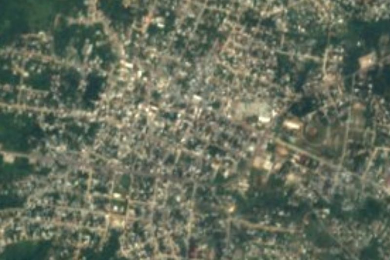
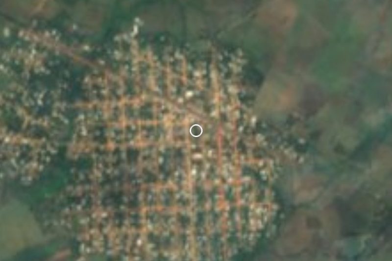
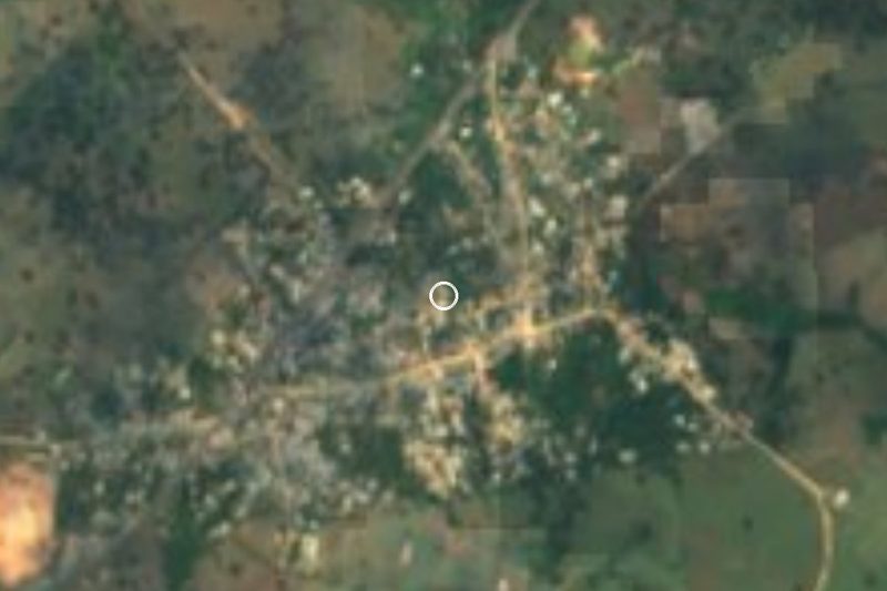
Huazuntlán is the main outlying community of Mecayapan municipality in southern Veracruz: it had 3,202 residents in 2020 and sits about 12 km from the municipal seat, right beside the road, only 73 metres above sea level. The name comes from Nahuatl huauhtzontli, amaranth, plus -tlan, and translates as "place where amaranth grows in abundance".
This is Nahua country. Huazuntlán, like Mecayapan, Tonalapa and Ixhuapan, speaks Isthmus Nahuatl, a variety its speakers call melaꞌtájto̱l. Most families farm, in a hot, wet climate averaging around 23 °C with more than 2,200 mm of rain a year. The municipality is part of the Los Tuxtlas Biosphere Reserve, whose core zones include the Santa Marta volcano, and its forest still holds royal palm, cedar and caobilla.
For visitors the draw is the water. The Huazuntlán river is listed among the municipality's bathing spots; the streams here drain towards the Chalapa. Up in the municipal seat the big fair honours Santiago Jacobo in May, with dances, fireworks and horse races, and on the Days of the Dead families build altars with tamales, fruit and marigolds. Mole and barbacoa are the dishes locals point to.
How to get to Huazuntlán
Drive from Minatitlán: 40 min, 38 km
From Minatitlán it is about 38 km, roughly 40 minutes: take the Transisthmian Highway (Federal 185) west to Cosoleacaque and Oteapan, then follow the road north into the hills for about 22 km to Huazuntlán. From Acayucan it is about 37 km, around 45 minutes, heading out via Monte Grande and passing Soteapan. Mecayapan, the municipal seat, is about 13 km away, some 15 minutes. From Coatzacoalcos allow about 49 km and 50 minutes. We found no published bus or colectivo timetable for the village; the nearest long-distance bus terminals are in Minatitlán and Acayucan, where you ask locally for transport up into the sierra.
Directions to Huazuntlán on Google Maps
Distances are in a straight line; the road is usually longer.
Links open a partner site. We may earn a commission if you book, at no cost to you.
From the nearest cities to Huazuntlán
- Minatitlán · 38 km by road, 40 min
- Coatzacoalcos · 55 km by road, 55 min
- San Andrés Tuxtla · 82 km by road, 1 h 45 min
Drive times by road from OpenStreetMap, without traffic or stops. Times marked ~ are estimated from the straight-line distance.
Visiting Huazuntlán: what to see and do
The Huazuntlán river for a swim, one of the municipality's bathing spots.
Isthmus Nahuatl, heard in the street.
The Santiago Jacobo fair in Mecayapan, in May.
Days of the Dead altars, 1 and 2 November.
Los Tuxtlas Biosphere Reserve and the Sierra de Santa Marta to the north.
Plan your trip
Places to stay in Huazuntlán
Compare hotels, posadas, and rentals in and around Huazuntlán.
Tours & activities
Day trips and guided outings from Veracruz often include Huazuntlán; with a local guide you can get there without a car.
Mobile data
Signal can drop away from Veracruz: download a map of the way to Huazuntlán before you set out, or carry an eSIM with data.
Links open a partner site. We may earn a commission if you book, at no cost to you.
Closest to Huazuntlán
-
Tatahuicapan · Town · 11 km away
-
Buena Vista · Village · 17 km away
-
Jáltipan · Town · 23 km away
-
Cosoleacaque · Town · 24 km away
-
Acayucan · Town · 26 km away
-
Minatitlán · City · 31 km away
-
Corral Nuevo · Village · 34 km away
-
Coatzacoalcos · City · 38 km away

Near Huazuntlán



Drive times by road from OpenStreetMap, without traffic. Times marked ~ are estimated from the straight-line distance.
Location from OpenStreetMap. Written by Puebloteca.