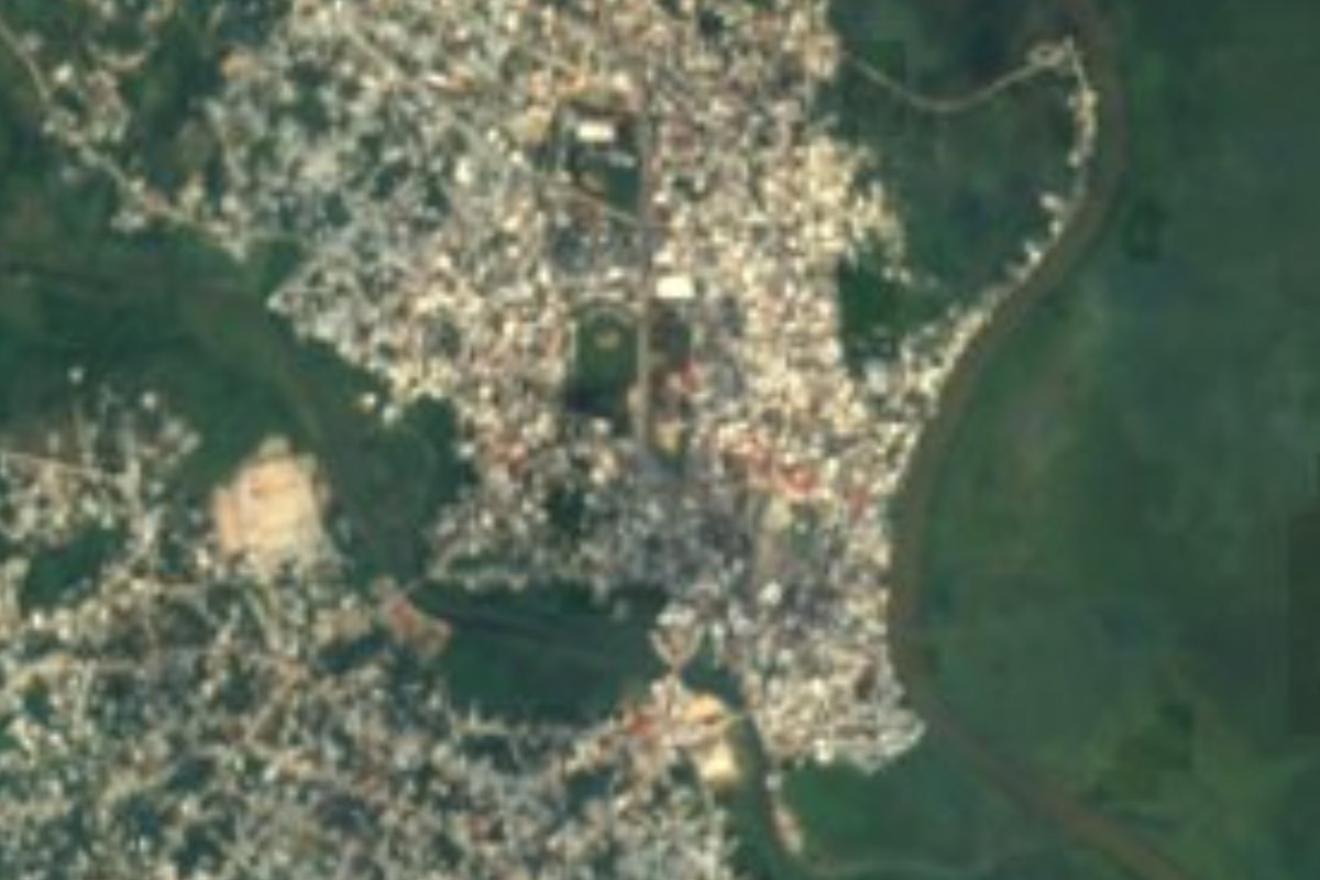
Town Las Choapas, Veracruz Southern Veracruz (Olmec region)
Oil and cattle town at Veracruz's southeastern tip, seat of the state's largest municipality and a stop on the Tren Interoceánico to Palenque.
From Coatzacoalcos: 45 min by car (52 km by road) How to get there ↓
Near here
See everything nearby ↓


Plan your visit to Las Choapas
Where to stay near Las Choapas
Compare hotels, posadas and guest houses in Las Choapas.
Tours to Las Choapas
Day trips around Veracruz sometimes stop in Las Choapas; a tour is the easy way to see it without a car.
How to get to Las Choapas
- From Coatzacoalcos: about 45 min by road (~52 km)
Links open a partner site. We may earn a commission if you book, at no cost to you.
About Las Choapas
Las Choapas is a city at the far southeastern corner of Veracruz, close to the borders with Tabasco, Chiapas and Oaxaca, and the seat of the largest municipality in the state, which covers about 3,510 km². The city had 46,909 people at the 2020 census. It lies in hot, low country, only a few dozen metres above sea level, where the Pedregal, Tonalá and Nanchital rivers come together and the land rises to the south toward the hills of the Uxpanapa. Rain is heavy, at around 2,500–2,900 mm a year, and summer temperatures can reach 40 °C. The name comes from Nahuatl Achiopan or Achoapan, "river of the achiote". The economy rests on oil and cattle, with maize, fruit, sugar cane and rubber.
The area lies in the heart of the old Olmec zone between the Uxpanapa and Tonalá rivers, about 22 km south of the great Olmec site of La Venta. In 2012 an INAH archaeologist described three later settlements found near the city during public works and oil exploration, dated roughly to 600–1200 AD, with plazas and ball courts built on clusters of raised mounds; the largest, El Chichón-Acapulco, covers 288 hectares. In the 19th century the land was divided into haciendas, and from the 1890s foreign oil companies arrived, led by the El Águila company; drilling began here in 1930, and the industry was expropriated in 1938. Las Choapas became a congregación of Minatitlán in 1932, the municipality was created on 28 December 1961, and the town became a city in 1967. A tanker named Las Choapas was sunk in 1942 during the Second World War.
Las Choapas is a working city rather than a tourist town, and its life revolves around the oil service companies, commerce and the surrounding ranches. It has a culture centre, the Casa de Cultura Frida Kahlo, a strong son jarocho tradition, and professional football and baseball stadiums. Since 13 September 2024 it has been a stop on Line FA of the Tren Interoceánico, which runs between Coatzacoalcos and Palenque. The rivers of the municipality, such as the Uxpanapa and the Tonalá, known locally as the Tancochapa, are used for fishing and swimming. The main civic celebrations are the Independence fiestas of 13–16 September and the anniversary of the municipality, from 22 to 30 December.
How to get to Las Choapas
Drive from Coatzacoalcos: 45 min, 52 km
Las Choapas is about 55 km southeast of Coatzacoalcos by road, under an hour by car, and about 145–160 km (around 2 hours) west of Villahermosa, Tabasco. Federal Highway 180 links it with Coatzacoalcos, and a highway runs south from here through the sierra toward Ocozocoautla and Tuxtla Gutiérrez in Chiapas. The Tren Interoceánico's Line FA stops at Las Choapas on the Coatzacoalcos–Palenque route.
Directions to Las Choapas on Google Maps
Distances are in a straight line; the road is usually longer.
Links open a partner site. We may earn a commission if you book, at no cost to you.
From the nearest cities to Las Choapas
- Coatzacoalcos · 52 km by road, 45 min
- Minatitlán · 67 km by road, 55 min
- Cárdenas · 99 km by road, 1 h 15 min
Drive times by road from OpenStreetMap, without traffic or stops. Times marked ~ are estimated from the straight-line distance.
Before you go to Las Choapas: hours, prices and tips
- Best season
- Independence fiestas 13–16 September; anniversary of the municipality 22–30 December; San José fiesta 17–21 March in the congregación of San José del Carmen. Diccionario Enciclopédico Veracruzano (Universidad Veracruzana) · checked Oct 2026
Hours and prices change, especially around holidays. Each fact links to where we checked it.
Visiting Las Choapas: what to see and do
Ride the Tren Interoceánico's Line FA, which stops at Las Choapas on its way between Coatzacoalcos and Palenque.
Visit the Casa de Cultura Frida Kahlo, the city's culture centre.
Fish or cool off in the rivers of the municipality, such as the Uxpanapa and the Tonalá (Tancochapa).
Catch a football match at the Estadio Olmeca or baseball at the Estadio 18 de Marzo.
Come for the municipal anniversary fiestas, 22–30 December.
Plan your trip
Places to stay in Las Choapas
Compare hotels, posadas, and rentals in and around Las Choapas.
Tours & activities
Day trips around Veracruz sometimes stop in Las Choapas; a tour is the easy way to see it without a car.
Mobile data
Signal can drop away from Veracruz: download a map of the way to Las Choapas before you set out, or carry an eSIM with data.
Links open a partner site. We may earn a commission if you book, at no cost to you.
Closest to Las Choapas
-
La Venta · Archaeological site · 22 km away
-
Nanchital de Lázaro Cárdenas del Río · Town · 38 km away
-
Allende · Town · 42 km away
-
Coatzacoalcos · City · 44 km away
-
Minatitlán · City · 50 km away
Near Las Choapas





Drive times by road from OpenStreetMap, without traffic. Times marked ~ are estimated from the straight-line distance.
Location from OpenStreetMap. Written by Puebloteca.