

Town Coatzacoalcos, Veracruz Municipality of Coatzacoalcos Southern Veracruz (Olmec region)
Villa Allende, on the east bank of the Coatzacoalcos river mouth, linked to the city by Mexico's first immersed-tube tunnel.
From Coatzacoalcos: 20 min by car (20 km by road) How to get there ↓
Near here
See everything nearby ↓


Plan your visit to Allende
Where to stay near Allende
Compare hotels, posadas and guest houses in Allende.
Tours to Allende
Day trips around Veracruz sometimes stop in Allende; a tour is the easy way to see it without a car.
Links open a partner site. We may earn a commission if you book, at no cost to you.
About Allende
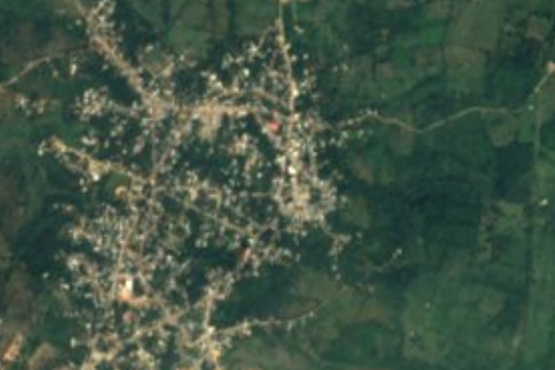
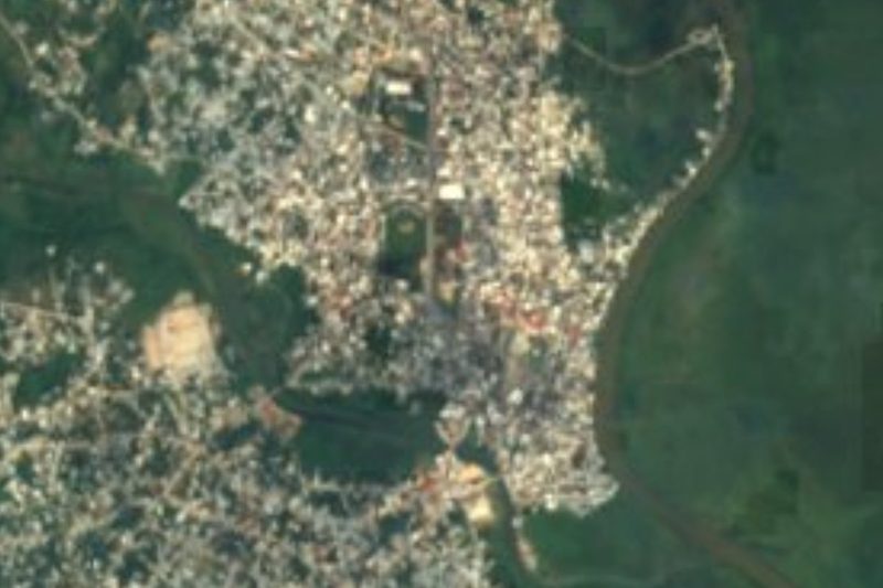
Almost everyone calls it Villa Allende. After the city itself it is the largest locality in the municipality of Coatzacoalcos, and it sits directly across from it on the right bank of the Coatzacoalcos River, at the point where the river meets the Gulf of Mexico. The town lies about 9 metres above sea level, and only the width of the river separates it from the city it merges with.
Oil and petrochemicals shape daily life here. Pemex runs the Pajaritos logistics terminal and the Pajaritos and Morelos petrochemical complexes in and around Allende, while the Cangrejera complex is in neighbouring Mundo Nuevo. Workers come from across the Coatzacoalcos and Minatitlán metropolitan area, and much of the traffic over the river is heading to or from these plants.
Getting across the water has always been the town's other story. For decades the only local crossing was the Coatzacoalcos I bridge, opened in 1962 with two lanes of Federal Highway 180 and a rail line. To relieve it, the state built the Coatzacoalcos Underwater Tunnel, the first of its kind in Mexico: 1.1 km long, four lanes wide and up to 21 metres below the river at its deepest, assembled from prefabricated sections sunk into place. It took 13 years, ended up costing 5.398 billion pesos, more than three times the original budget, and opened on 27 April 2017. During the digging on the Allende side, INAH archaeologists recovered remains of Olmec settlements dating from 1200 to 400 BC, including net weights, pots and human figurines.
For a visitor, Allende is above all its riverside malecón, looking across to Coatzacoalcos and the boats moving in and out of the river mouth; at the water's edge stands an image of the Virgen del Carmen, patron of fishermen.
How to get to Allende
Drive from Coatzacoalcos: 20 min, 20 km
Central Coatzacoalcos is about 5 km away, 10 to 15 minutes depending on traffic. There are two ways over the river: the four-lane immersed tunnel, tolled on the Allende side, or the free two-lane Coatzacoalcos I bridge on Federal Highway 180. Drivers coming from Villahermosa or Minatitlán on the 180D toll road cross further south on the Coatzacoalcos II (Antonio Dovalí Jaime) bridge and come up to Allende along the east bank. By bus you first reach the Coatzacoalcos bus station in the south of the city, served by ADO and other lines from Mexico City's TAPO, Veracruz and Villahermosa; from there Allende is a short taxi ride. From Minatitlán it is about 27 km, roughly half an hour.
Directions to Allende on Google Maps
Distances are in a straight line; the road is usually longer.
Links open a partner site. We may earn a commission if you book, at no cost to you.
From the nearest cities to Allende
- Coatzacoalcos · 20 km by road, 20 min
- Minatitlán · 39 km by road, 35 min
- Cárdenas · 122 km by road, 1 h 30 min
Drive times by road from OpenStreetMap, without traffic or stops. Times marked ~ are estimated from the straight-line distance.
Visiting Allende: what to see and do
Allende's malecón, facing Coatzacoalcos across the river.
The image of the Virgen del Carmen, patron of fishermen, by the water.
The 1.1 km immersed tunnel under the Coatzacoalcos River, opened in 2017.
The old Coatzacoalcos I bridge of 1962, carrying both road and railway.
The river mouth where the Coatzacoalcos meets the Gulf of Mexico.
Plan your trip
Places to stay in Allende
Compare hotels, posadas, and rentals in and around Allende.
Tours & activities
Day trips around Veracruz sometimes stop in Allende; a tour is the easy way to see it without a car.
Mobile data
Signal can drop away from Veracruz: download a map of the way to Allende before you set out, or carry an eSIM with data.
Links open a partner site. We may earn a commission if you book, at no cost to you.
Closest to Allende
-
Catedral de Coatzacoalcos · Landmark · 2 km away
-
Coatzacoalcos · City · 5 km away
-
Nanchital de Lázaro Cárdenas del Río · Town · 9 km away
-
Minatitlán · City · 25 km away
-
Cosoleacaque · Town · 31 km away
-
Chinameca · Town · 33 km away
-
Oteapan · Town · 33 km away
-
Pajapan · Town · 34 km away

Near Allende



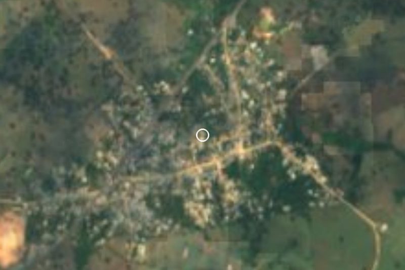



Drive times by road from OpenStreetMap, without traffic. Times marked ~ are estimated from the straight-line distance.
Location from OpenStreetMap. Written by Puebloteca.