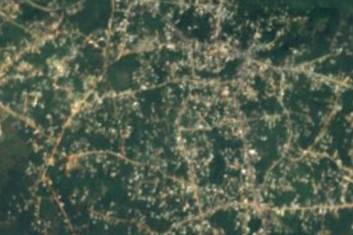
Town Oteapan, Veracruz Southern Veracruz (Olmec region)
Municipal seat in southern Veracruz, 15 minutes from Minatitlán: Señor de la Salud fiesta in May, wind bands, tamales and hand-woven skirts.
From Minatitlán: about 15 min by road (~15 km) How to get there ↓
Near here
See everything nearby ↓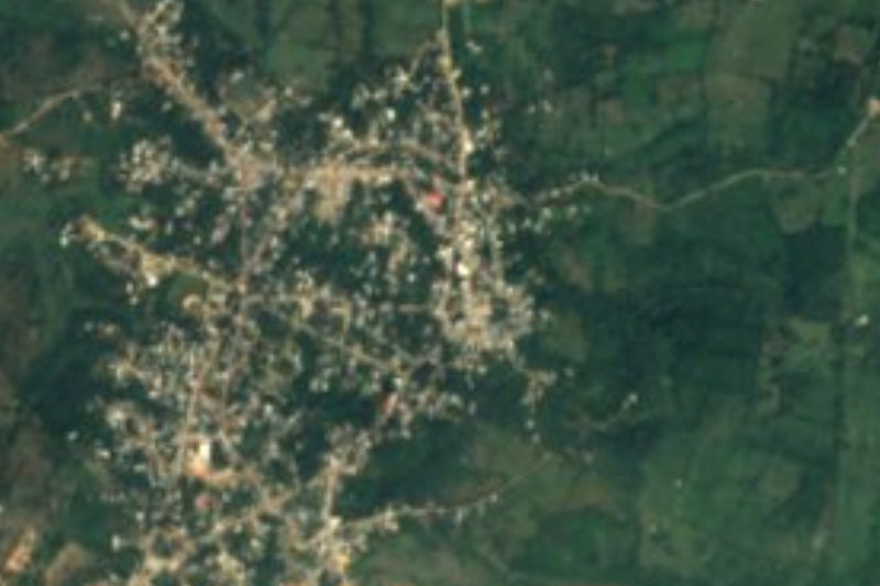

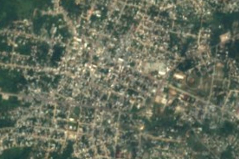


Plan your visit to Oteapan
Where to stay near Oteapan
Compare hotels, posadas and guest houses in Oteapan.
Tours to Oteapan
Day trips around Veracruz sometimes stop in Oteapan; a tour is the easy way to see it without a car.
Links open a partner site. We may earn a commission if you book, at no cost to you.
About Oteapan
Oteapan is the seat of the municipality of the same name, on the Sotavento plain of southern Veracruz, roughly 50 to 60 metres above sea level. It was a very old Popoluca town and in the 16th century belonged to the province of Coatzacoalcos. Its name, from Nahuatl, means "road to the well". The town had 10,343 residents in 2020. A stream that feeds the Chacalapa River, a tributary of the Coatzacoalcos, runs through it; the climate is hot, averaging 25-26 degrees, with about 2,600 mm of rain a year, heavy in summer and early autumn.
For a visitor the fiesta calendar is the most visible thing: 1-5 May, the Señor de la Salud; 16 July, the Virgen del Carmen; 21-22 November, Santa Cecilia; 11-12 December, the Virgen de Guadalupe; and on 28 December the traditional "Pobre Viejo" contest, where people compete with verses on the year's events. Wind-band music is typical, and local bands play outside the state and abroad.
Crafts are clay pots, hand-woven skirts (refajos) and baskets. On the table you find iguana in mole, tamales of cooked masa, chipilín, fresh corn and chanchamitos, picadillo, mole de acuyo, mondongo and beef broth. The local economy is corn, rice and dual-purpose cattle, with shops selling groceries, shoes, hardware and building materials.
How to get to Oteapan
Oteapan is 15 minutes and 14 km by road from Minatitlán. Avenida Pino Suárez runs through town and links it with Minatitlán and Coatzacoalcos. Paved roads lead to Cosoleacaque (3 km), Jáltipan (15 km) and San Pedro Soteapan (47 km); Chinameca lies to the north, on the neighbouring municipality border. There are no published bus or combi timetables; without a car, the simplest way is a taxi from Minatitlán or Cosoleacaque.
Directions to Oteapan on Google Maps
Distances are in a straight line; the road is usually longer.
Links open a partner site. We may earn a commission if you book, at no cost to you.
From the nearest cities to Oteapan
- Minatitlán · about 15 km by road, ~15 min
- Coatzacoalcos · about 40 km by road, ~35 min
- San Andrés Tuxtla · about 100 km by road, ~1 h 25 min
Drive times by road from OpenStreetMap, without traffic or stops. Times marked ~ are estimated from the straight-line distance.
Before you go to Oteapan: hours, prices and tips
- Best season
- Fiestas: Señor de la Salud 1-5 May; Virgen del Carmen 16 July; Santa Cecilia 21-22 November; Guadalupe 11-12 December; Pobre Viejo 28 December. Wikipedia · checked Oct 2026
Hours and prices change, especially around holidays. Each fact links to where we checked it.
Visiting Oteapan: what to see and do
Come on 1-5 May for the fiesta of the Señor de la Salud.
Listen to the town's wind bands at the fiestas.
Try iguana in mole, chipilín tamales and chanchamitos at the local eateries.
Look for hand-woven refajos, clay pots and baskets.
Come on 28 December for the "Pobre Viejo" verse contest.
Plan your trip
Places to stay in Oteapan
Compare hotels, posadas, and rentals in and around Oteapan.
Tours & activities
Day trips around Veracruz sometimes stop in Oteapan; a tour is the easy way to see it without a car.
Mobile data
Signal can drop away from Veracruz: download a map of the way to Oteapan before you set out, or carry an eSIM with data.
Links open a partner site. We may earn a commission if you book, at no cost to you.
Closest to Oteapan
-
Chinameca · Town · 3 km away
-
Cosoleacaque · Town · 3 km away
-
Jáltipan · Town · 7 km away
-
Minatitlán · City · 12 km away
-
Huazuntlán · Village · 21 km away
-
Acayucan · Town · 27 km away
-
Coatzacoalcos · City · 29 km away
-
Nanchital de Lázaro Cárdenas del Río · Town · 29 km away


Near Oteapan
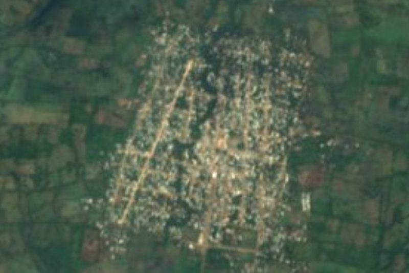


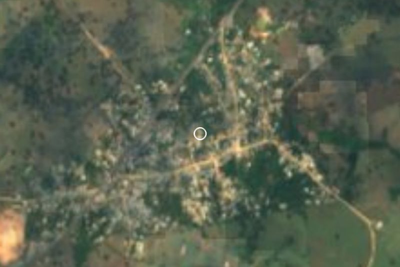



Drive times by road from OpenStreetMap, without traffic. Times marked ~ are estimated from the straight-line distance.
Location from OpenStreetMap. Written by Puebloteca.