Town Tlacotalpan, Veracruz Veracruz port and the Sotavento Papaloapan basin
Arcaded, colour-washed river town on the Papaloapan, a UNESCO World Heritage Site famous for its Candelaria festival and son jarocho.
From San Andrés Tuxtla: 1 h 30 min by car (81 km by road) How to get there ↓
Near here
See everything nearby ↓


Plan your visit to Tlacotalpan
Where to stay near Tlacotalpan
Compare hotels, posadas and guest houses in Tlacotalpan.
Tours to Tlacotalpan
Day trips around Veracruz sometimes stop in Tlacotalpan; a tour is the easy way to see it without a car.
 Full Day Tour to Alvarado and Tlacotalpan from Veracruz or Boca del Río
★ 5.0 (6) · From US$95
How to get to Tlacotalpan
- From San Andrés Tuxtla: about 1 h 30 min by road (~81 km)
Links open a partner site. We may earn a commission if you book, at no cost to you.
Popular tours to Tlacotalpan


Tours, prices and ratings from Viator, checked weekly. We may earn a commission if you book.
About Tlacotalpan
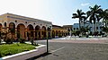
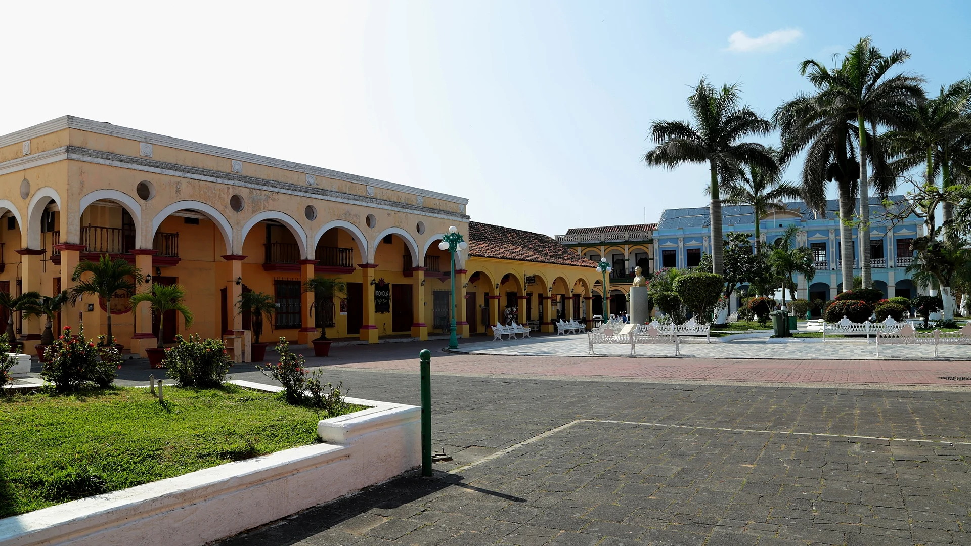
Tlacotalpan is a small river town on the Papaloapan River, about 90 km southeast of the port of Veracruz, in the region known as the Sotavento. Nicknamed the "pearl of the Papaloapan", it is famous for its streets of one- and two-storey houses with long colonnaded porches, inner courtyards, red-tiled roofs and facades painted in strong colours. In 1998 UNESCO inscribed its historic centre on the World Heritage List as the Historic Monuments Zone of Tlacotalpan, a core of 75 hectares with a grid of 153 blocks. It had 7,287 people at the 2020 census, and fishing and tourism are its main sources of income; the name comes from Nahuatl and is usually read as "land between the waters".
The Spanish settled here in 1550, on what was then an island in the Papaloapan. English pirates burned the town in 1667, and after a flood in 1714 it moved to its present site; further fires in 1698, 1788 and 1790 led to rebuilding in stone with tile roofs. From the colonial era through the 19th century Tlacotalpan was one of the main river ports of the Gulf, handling the trade of the Papaloapan basin, and it was briefly home to one of Mexico's first naval schools, the Colegio de Marina, which began classes on 14 January 1825. It became a town in 1847 and a city in 1865, but its trade declined after the railways arrived in the early 20th century. The low land around it is prone to floods, and the town was badly hit in 2010.
The centre is made for walking or cycling. Plaza Zaragoza, with its palms and 19th-century bandstand, is flanked by the Sanctuary of the Virgen de la Candelaria, built in the late 18th century partly of reef stone, and the Neoclassical parish of San Cristóbal; nearby are San Miguelito, from 1785, the 1891 Teatro Netzahualcóyotl and museums dedicated to the painter Salvador Ferrando and the songwriter Agustín Lara. Local boatmen offer rides on the Papaloapan in wooden boats, and restaurants on the riverside boardwalk serve arroz a la tumbada. The big event is the Candelaria festival around 2 February, when the image of the Virgin is carried through the streets and then along the river in a parade of decorated boats, and musicians from across the country gather for the national meeting of jaraneros and versadores, with son jarocho fandangos every night.
How to get to Tlacotalpan
Drive from San Andrés Tuxtla: 1 h 30 min, 81 km
Tlacotalpan is about 90 km from the port of Veracruz. By car, follow Highway 180 south along the coast past Alvarado to Conejo Blanco, then turn right onto Highway 175, which follows the river to Tlacotalpan. TRV second-class buses run from the main bus station in Veracruz in about 2 hours 30 minutes, for about 115 to 260 pesos; the TRV terminal is next to the malecón, with an ADO terminal across the street.
Directions to Tlacotalpan on Google Maps
Distances are in a straight line; the road is usually longer.
Links open a partner site. We may earn a commission if you book, at no cost to you.
From the nearest cities to Tlacotalpan
- San Andrés Tuxtla · 81 km by road, 1 h 30 min
- Veracruz · 106 km by road, 1 h 40 min
- Tuxtepec · 104 km by road, 1 h 45 min
Drive times by road from OpenStreetMap, without traffic or stops. Times marked ~ are estimated from the straight-line distance.
Before you go to Tlacotalpan: hours, prices and tips
- Hours
- Museo Salvador Ferrando opens daily 10 am to 7 pm; the Agustín Lara museum is free. Wikivoyage · checked Oct 2026
- Best season
- Fiesta de la Candelaria: the main days are 31 January to 2 February, and in 2026 the fair ran to 9 February, with a regatta on the Papaloapan on 1 February and the river procession of the Virgin on 2 February. México Desconocido · checked Oct 2026
Hours and prices change, especially around holidays. Each fact links to where we checked it.
Visiting Tlacotalpan: what to see and do
Walk the arcaded, colour-washed streets of the UNESCO-listed centre, or rent a bike.
Visit the Sanctuary of the Virgen de la Candelaria and the parish of San Cristóbal on Plaza Zaragoza.
See San Miguelito church (1785) and the 1891 Teatro Netzahualcóyotl.
Tour the Salvador Ferrando museum and the small Agustín Lara museum.
Take a boat ride on the Papaloapan with a local boatman.
Come for the Candelaria festival, 31 January to 2 February, with the river procession and fandangos.
Plan your trip
Places to stay in Tlacotalpan
Compare hotels, posadas, and rentals in and around Tlacotalpan.
Tours & activities
Day trips around Veracruz sometimes stop in Tlacotalpan; a tour is the easy way to see it without a car.
Mobile data
Signal can drop away from Veracruz: download a map of the way to Tlacotalpan before you set out, or carry an eSIM with data.
Links open a partner site. We may earn a commission if you book, at no cost to you.
Closest to Tlacotalpan
-
Lerdo de Tejada · Town · 15 km away
-
Alvarado · Town · 21 km away
-
El Escobillal · Village · 25 km away
-
Tres Zapotes · Archaeological site · 28 km away
-
Cosamaloapan · Town · 31 km away
-
La Florida · Village · 31 km away
-
Ignacio de la Llave · Town · 37 km away
-
Santiago Tuxtla · Town · 41 km away


Near Tlacotalpan




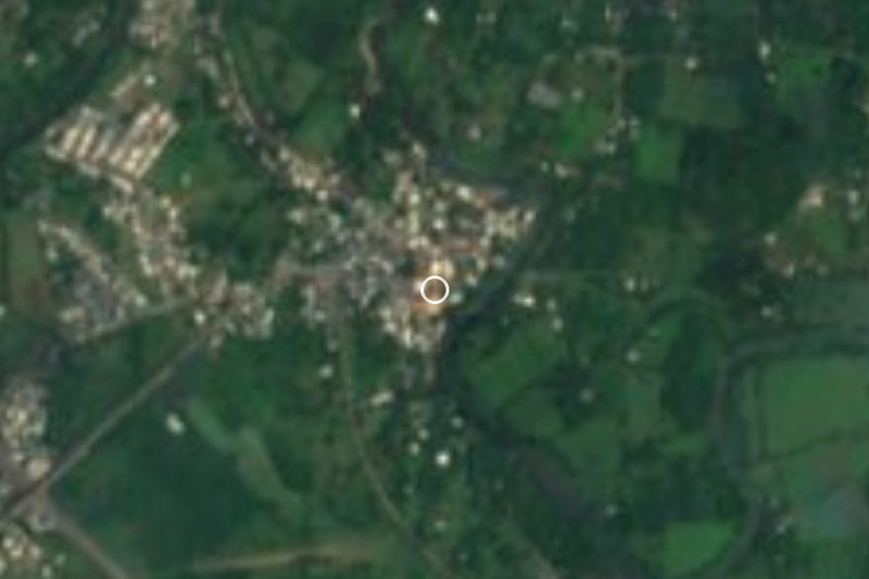


Drive times by road from OpenStreetMap, without traffic. Times marked ~ are estimated from the straight-line distance.
Location from OpenStreetMap. Written by Puebloteca.