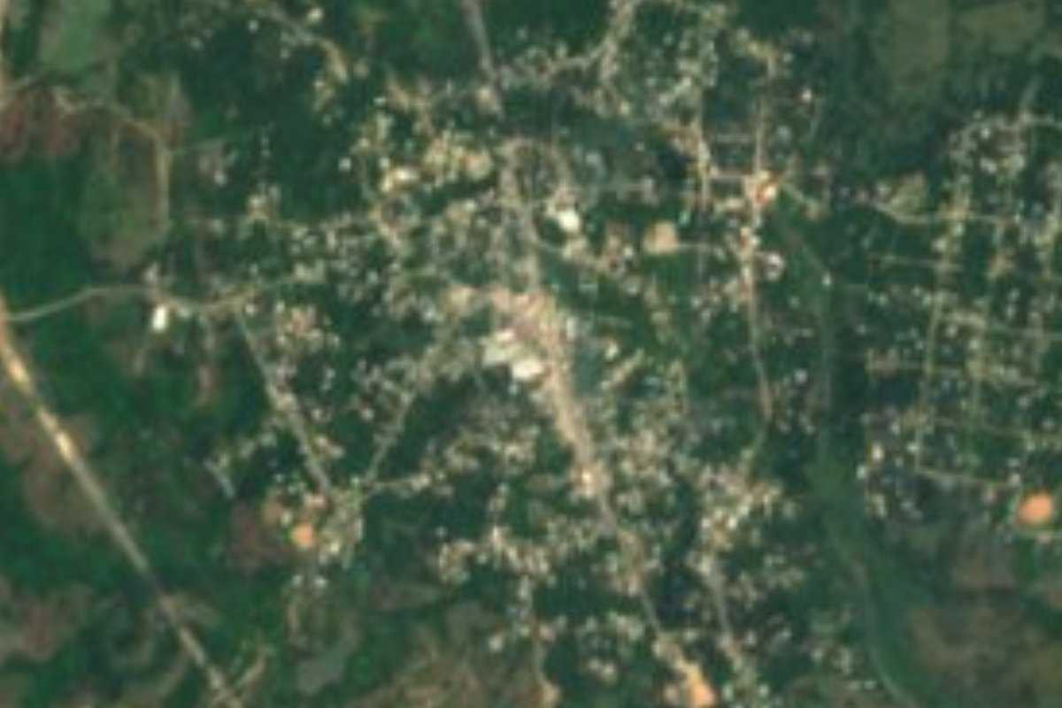
Town Matías Romero Avendaño, Oaxaca Municipality of Matías Romero Avendaño Isthmus of Tehuantepec
Town in Matías Romero municipality at 117 m in the northern Isthmus, where Highway 147 from Tuxtepec meets Highway 185; 4,302 people in 2020.
From Juchitán: 1 h 25 min by car (94 km by road) How to get there ↓
Near here
See everything nearby ↓


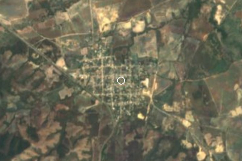
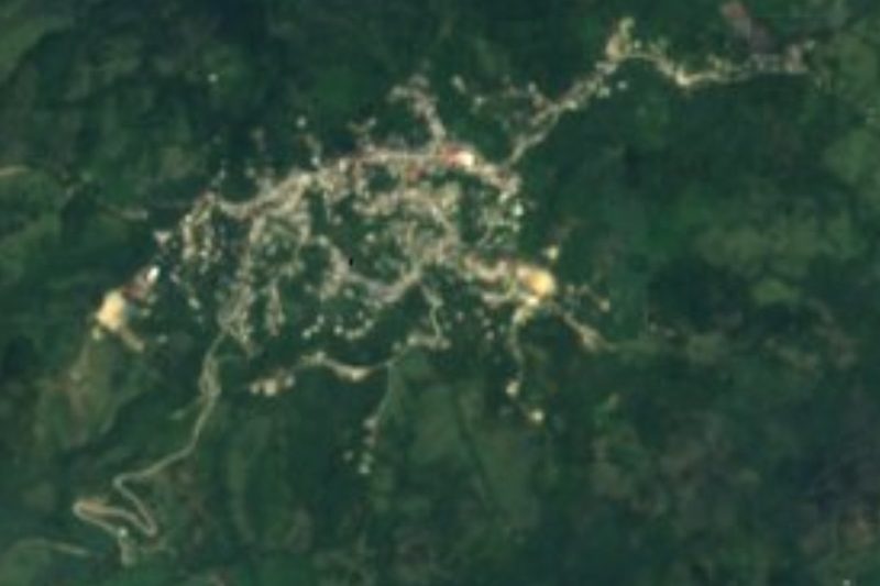

Plan your visit to Palomares
Where to stay near Palomares
Compare hotels, posadas and guest houses in Palomares.
Tours to Palomares
Day trips around Oaxaca sometimes stop in Palomares; a tour is the easy way to see it without a car.
How to get to Palomares
- From Juchitán: about 1 h 25 min by road (~94 km)
Links open a partner site. We may earn a commission if you book, at no cost to you.
About Palomares
Palomares lies in the low northern part of the Isthmus of Tehuantepec, about 117 m above sea level, in the municipality of Matías Romero Avendaño. The 2020 census counted 4,302 people, against just 417 in 1910 and 280 in 1930. The big jump came in the mid-twentieth century, from 395 people in 1940 to 877 in 1950 and 4,360 in 1990; since then the figure has hovered between 3,700 and 4,400.
Its importance is as a road junction. Federal Highway 147, about 175 km long, ends here after running down from near Tuxtepec, and meets federal Highway 185, which crosses the Isthmus. That makes Palomares a crossing for anyone travelling between the Papaloapan region, southern Veracruz and the Pacific coast. The trans-isthmus railway line runs through the ejido's lands.
It is an agencia of the municipality and has an ejido's way of life. In February 2023 farmers from Palomares tried to stop work on renewing the rail line, the replacement of wooden sleepers with concrete ones under the Interoceanic Corridor programme, and the Navy moved in to clear them near the La Esperanza bridge, as El Universal reported. It is a current-affairs note that says something about the place: agricultural, built on communal land, and crossed by the region's biggest public works.
It is not a tourist destination and has no catalogued sights. Most people reach it in passing, and it is simplest to stock up in Matías Romero.
How to get to Palomares
Drive from Juchitán: 1 h 25 min, 94 km
Palomares sits on federal Highway 185 at its junction with federal Highway 147. From Matías Romero it is about 29 km due north, so allow roughly 30 to 40 minutes on the 185; we found no published figure. From Tuxtepec you come down Highway 147, about 175 km, which ends at Palomares. Minatitlán (Veracruz) is about 109 km away in a straight line and Oaxaca city much farther, so the usual way in is from Matías Romero or Tuxtepec. We found no source naming bus or colectivo companies that stop in Palomares; ask at the Matías Romero terminal and on the spot. Your own car is the reliable way to get here.
Directions to Palomares on Google Maps
Distances are in a straight line; the road is usually longer.
Links open a partner site. We may earn a commission if you book, at no cost to you.
From the nearest cities to Palomares
- Juchitán · 94 km by road, 1 h 25 min
- Minatitlán · 141 km by road, 1 h 45 min
- Coatzacoalcos · 160 km by road, 1 h 55 min
Drive times by road from OpenStreetMap, without traffic or stops. Times marked ~ are estimated from the straight-line distance.
Visiting Palomares: what to see and do
Pass through the junction of highways 147 and 185, where the 147 ends.
Watch for the trans-isthmus railway line and its renewal works across ejido land.
Walk through the village and its farming life, at about 117 m elevation.
Use Matías Romero as the base for services and lodging.
Plan your trip
Places to stay in Palomares
Compare hotels, posadas, and rentals in and around Palomares.
Tours & activities
Day trips around Oaxaca sometimes stop in Palomares; a tour is the easy way to see it without a car.
Mobile data
Signal can drop away from Oaxaca: download a map of the way to Palomares before you set out, or carry an eSIM with data.
Links open a partner site. We may earn a commission if you book, at no cost to you.
Closest to Palomares
-
Donají · Town · 10 km away
-
Estación Mogoñé · Town · 16 km away
-
Matías Romero · Town · 29 km away
-
Chivela · Village · 48 km away
-
Santa María Chimalapa · Town · 48 km away
-
Guevea de Humboldt · Town · 50 km away
Near Palomares
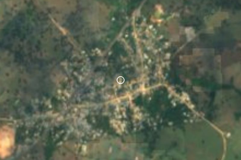


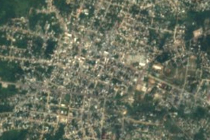


Drive times by road from OpenStreetMap, without traffic. Times marked ~ are estimated from the straight-line distance.
Location from OpenStreetMap. Written by Puebloteca.