
Lagoon Juchitán de Zaragoza, Oaxaca Municipality of Juchitán de Zaragoza Isthmus of Tehuantepec
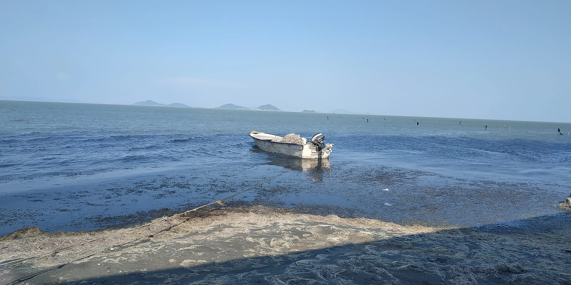
Coastal lagoon of roughly 350 to 380 km² on the Isthmus; Huave and Zapotec fishing, islands and seafood palapas at Playa Vicente.
From Juchitán: 25 min by car (12 km by road) How to get there ↓
Near here
See everything nearby ↓


Plan your visit to Laguna Superior
Where to stay near Laguna Superior
Compare hotels, posadas and guest houses in Laguna Superior.
Tours to Laguna Superior
Day trips and guided outings from Oaxaca often include Laguna Superior; with a local guide you can get there without a car.
How to get to Laguna Superior
- From Juchitán: about 25 min by road (~12 km)
Links open a partner site. We may earn a commission if you book, at no cost to you.
About Laguna Superior
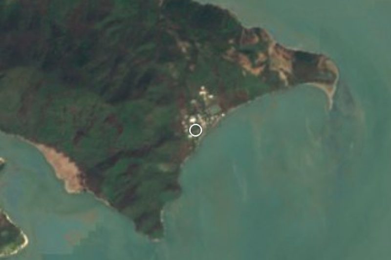
Laguna Superior fills a stretch of the Gulf of Tehuantepec coast in south-east Oaxaca and is the largest lagoon of the Isthmus: between 350 and 380 km² depending on the source. A narrow mouth, the bocabarra, links it to the Pacific, and the Santa Teresa bar separates it from the Laguna Inferior, which is more enclosed and less salty. It belongs to the Isthmus lagoon system along with the Quirio, Occidental, Oriental and Inferior lagoons. The río Perros, the río Chilapa, the arroyo Estacudo and the arroyo San José flow into it.
Zapotec and Huave (Ikoots) communities line its shores: Playa Vicente and Playa Unión, Álvaro Obregón, Santa María Xadani, Unión Hidalgo, Chicapa de Castro and San Dionisio del Mar. Fishing is the main livelihood. Cast nets are thrown from wooden pangas, reed traps catch shrimp and people fish at night with lamps; the catch includes shrimp, mullet, snook and mojarra. When rain fails, shrimp vanish and the water turns saltier: in 2017 fishermen said the sea had pulled back more than 50 m from the beach. The same fragility shows at the bocabarra, which silts up with sand; in September 2021 villagers and fishermen reopened it by hand with picks and shovels.
The lagoon holds more than 20 islands. The ones with beaches that get the most visitors are Cerro Cristo, Cerro Pato, Cerro Prieto, Cerro Venado and Cerro Lepe. Migratory birds arrive between October and March; through the year you can see herons, pelicans and cormorants, and roseate spoonbills in the dry season.
The easiest place to visit is Playa Vicente (Playa San Vicente), about 10 km south-east of Juchitán. It began as a fishing hamlet called Playa Victoria, founded in the 1960s, and today has about 255 residents, two fishing cooperatives (Che Cata and Jaiberos) and some ten palapas serving fish and seafood, mostly cooked in wood-fired ovens. Tourism is still light; at Easter it fills with people from Juchitán.
How to get to Laguna Superior
Drive from Juchitán: 25 min, 12 km
The easiest way in is through Juchitán de Zaragoza, on federal highway 190. Juchitán's ADO terminal is on that road, near the centre and the market. From the city of Oaxaca the bus ride takes 4 to 5.5 hours depending on the service (Oaxaca's first-class terminal is on Calzada Niños Héroes de Chapultepec); sources quote distances from about 195 to 280 km, so confirm at the ticket counter.
From Juchitán to Playa Vicente it is about 10 km south-east. The road is in poor condition and only partly paved, and the last stretch is dirt. A taxi from the centre costs about 150 to 200 pesos round trip if you ask the driver to wait. We found no named bus or colectivo service: ask in Juchitán for mototaxis or taxis to Playa Vicente. The far side of the lagoon, San Dionisio del Mar, is reached by dirt tracks and sometimes only by boat.
Directions to Laguna Superior on Google Maps
Distances are in a straight line; the road is usually longer.
Links open a partner site. We may earn a commission if you book, at no cost to you.
From the nearest cities to Laguna Superior
- Juchitán · 12 km by road, 25 min
- Salina Cruz · 56 km by road, 1 h 10 min
- Minatitlán · 244 km by road, 3 h 30 min
Drive times by road from OpenStreetMap, without traffic or stops. Times marked ~ are estimated from the straight-line distance.
Before you go to Laguna Superior: hours, prices and tips
- Best time of day
- Best at sunrise or sunset for the boat ride; migratory birds arrive from October to March. La Terraza Juchitán, Lagunas del Istmo · checked Oct 2026
Hours and prices change, especially around holidays. Each fact links to where we checked it.
Visiting Laguna Superior: what to see and do
Stroll the shore at Playa Vicente and watch the pangas work.
Eat wood-oven fish and shrimp in the beach palapas.
Ask for a boatman to take you to a beach island such as Cerro Cristo.
Watch birds: herons, pelicans and, from October to March, migrants.
Come at Easter for the crowds; the rest of the year it is quiet.
Plan your trip
Places to stay in Laguna Superior
Compare hotels, posadas, and rentals in and around Laguna Superior.
Tours & activities
Day trips and guided outings from Oaxaca often include Laguna Superior; with a local guide you can get there without a car.
Mobile data
Signal can drop away from Oaxaca: download a map of the way to Laguna Superior before you set out, or carry an eSIM with data.
Links open a partner site. We may earn a commission if you book, at no cost to you.
Closest to Laguna Superior
-
Playa San Vicente · Village · 8 km away
-
San Dionisio Pueblo Viejo · Village · 10 km away
-
San Dionisio del Mar · Town · 15 km away
-
Unión Hidalgo · Town · 17 km away
-
Juchitán de Zaragoza · City · 18 km away
-
El Espinal · Town · 23 km away
-
La Ventosa · Town · 25 km away
-
Asunción Ixtaltepec · Town · 26 km away


Near Laguna Superior
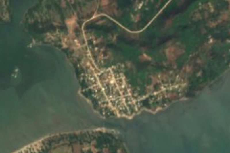


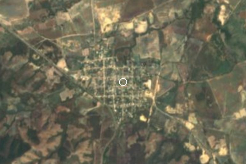


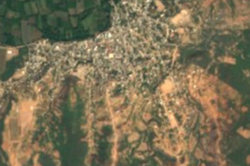

Drive times by road from OpenStreetMap, without traffic. Times marked ~ are estimated from the straight-line distance.
Lists with Laguna Superior
Lakes and Lagoons in Oaxaca · 5Location from OpenStreetMap. Written by Puebloteca.