


Town Juchitán de Zaragoza, Oaxaca Municipality of Juchitán de Zaragoza Isthmus of Tehuantepec
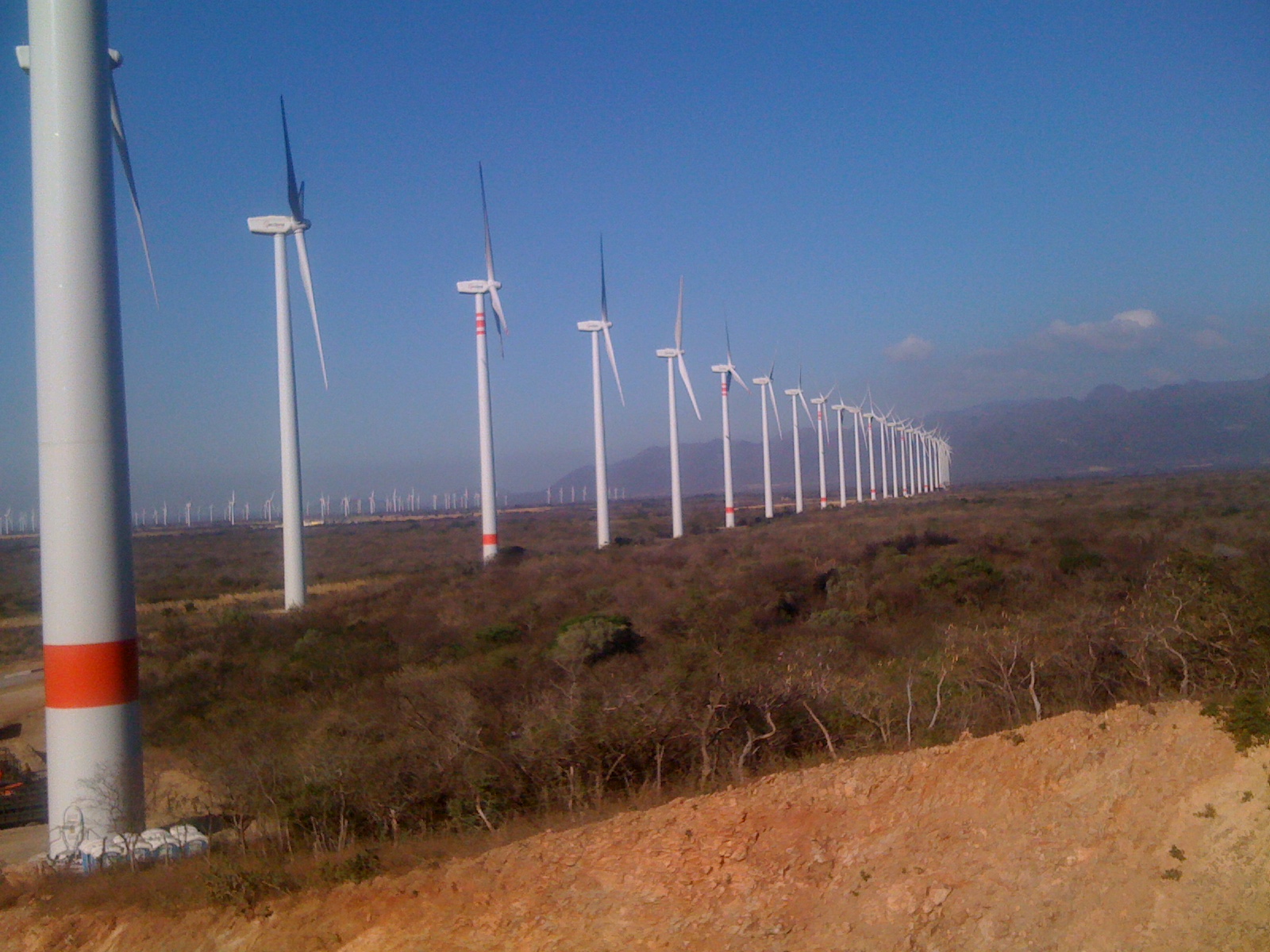
A crossroads town named for its wind, ringed by the turbines of Mexico's biggest wind-power zone, where gusts can tip over trucks.
From Juchitán: 20 min by car (17 km by road) How to get there ↓
Near here
See everything nearby ↓


Plan your visit to La Ventosa
Where to stay near La Ventosa
Compare hotels, posadas and guest houses in La Ventosa.
Tours to La Ventosa
Day trips around Oaxaca sometimes stop in La Ventosa; a tour is the easy way to see it without a car.
Links open a partner site. We may earn a commission if you book, at no cost to you.
About La Ventosa
La Ventosa ("the windy one") is a town of about 6,100 people (2020) in the municipality of Juchitán de Zaragoza, some 18 km north-east of Juchitán by road, at 37 m above sea level. It grew up at a crossroads: here Federal Highway 190, coming from Oaxaca and Tehuantepec, meets Highway 185, the trans-isthmus road to Coatzacoalcos, and the highways and railways bound for Chiapas fan out east. Most people drive straight through, but few places show the force of the Isthmus wind so plainly.
The wind is the Tehuantepecer, or viento tehuano. When a cold front pushes cold, dense air over the Gulf of Mexico, it pours south through the Chivela Pass, the low gap in the mountains north of here, and races across the plain toward the Pacific. It blows mainly from October to February, usually at 40 to 80 km/h and occasionally much harder. Trees grow bent, roofs get torn off, and the highway near La Ventosa is notorious for overturning tractor-trailers: nine rolled over on this stretch in February 2022, and gusts reached about 110 km/h in a January 2025 cold front. Schools have closed for the wind and the road has been shut to traffic during the strongest gusts.
The same wind made the area the centre of Mexican wind power. In 1994 the CFE built the country's first wind plant, La Venta, with seven 225 kW turbines near the village of La Venta just east of here; La Venta II followed, inaugurated in March 2007 with 98 turbines, and in 2009 Iberdrola opened its first Mexican wind farm, also called La Ventosa. By 2012, 18 of Mexico's 27 wind plants stood around the town, and turbines now reach to the horizon in every direction. Land leases for the parks have been disputed by Zapotec farmers and activists, and some local farmland has turned from maize and sorghum to rented turbine sites.
How to get to La Ventosa
Drive from Juchitán: 20 min, 17 km
La Ventosa is about 18 km (20 minutes) north-east of Juchitán on Federal Highway 190, and about 25 km (30 minutes) from Ciudad Ixtepec. It sits at the junction where Highway 185 heads north across the Isthmus to Coatzacoalcos. Drive with care in strong wind, especially in high-sided vehicles, and check for road closures during cold fronts.
Directions to La Ventosa on Google Maps
Distances are in a straight line; the road is usually longer.
Links open a partner site. We may earn a commission if you book, at no cost to you.
From the nearest cities to La Ventosa
- Juchitán · 17 km by road, 20 min
- Salina Cruz · 60 km by road, 55 min
- Minatitlán · 219 km by road, 2 h 50 min
Drive times by road from OpenStreetMap, without traffic or stops. Times marked ~ are estimated from the straight-line distance.
Before you go to La Ventosa: hours, prices and tips
- Best season
- The Tehuantepecer blows mainly from October to February, usually at 40–80 km/h; the calmest month is July. Wikipedia (Tehuantepecer) · checked Oct 2026
- Rules
- Gusts on the highway near La Ventosa have overturned tractor-trailers (around 90 km/h); slow down and watch for closures in strong wind. The Eye Huatulco · checked Oct 2026
Hours and prices change, especially around holidays. Each fact links to where we checked it.
Visiting La Ventosa: what to see and do
Watch the rows of wind turbines that stretch across the plain around town.
Feel the Tehuantepecer at full strength on a winter day, from a safe spot off the road.
See the wind-bent trees along the roads in and around La Ventosa.
Stop at the crossroads of Highways 190 and 185 on the way between Oaxaca, Chiapas and Veracruz.
Combine it with Juchitán and Ixtepec, each about 20–30 minutes away.
Plan your trip
Places to stay in La Ventosa
Compare hotels, posadas, and rentals in and around La Ventosa.
Tours & activities
Day trips around Oaxaca sometimes stop in La Ventosa; a tour is the easy way to see it without a car.
Mobile data
Signal can drop away from Oaxaca: download a map of the way to La Ventosa before you set out, or carry an eSIM with data.
Links open a partner site. We may earn a commission if you book, at no cost to you.
Photos
Closest to La Ventosa
-
Asunción Ixtaltepec · Town · 13 km away
-
El Espinal · Town · 13 km away
-
Unión Hidalgo · Town · 15 km away
-
Ciudad Ixtepec · Town · 16 km away
-
Juchitán de Zaragoza · City · 16 km away
-
Chivela · Village · 19 km away
-
Playa San Vicente · Village · 21 km away
-
Laguna Superior · Lagoon · 25 km away

Near La Ventosa


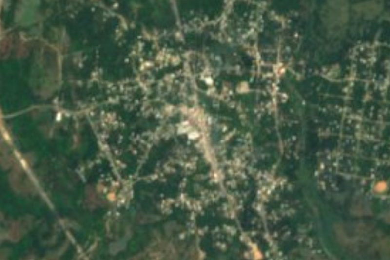
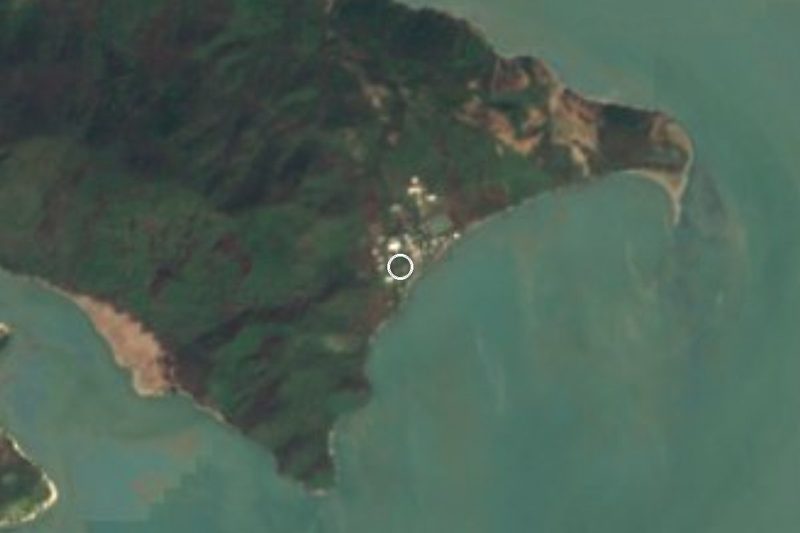
Drive times by road from OpenStreetMap, without traffic. Times marked ~ are estimated from the straight-line distance.
Location from OpenStreetMap. Written by Puebloteca.