

Town Santa María Jalapa del Marqués, Oaxaca Isthmus of Tehuantepec
Isthmus town beside the Benito Juárez reservoir: fried mojarra, boat rides on the lake and a calendar of fiestas from January to November.
From Salina Cruz: 45 min by car (46 km by road) How to get there ↓
Near here
See everything nearby ↓

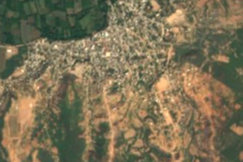


Plan your visit to Santa María Jalapa del Marqués
Where to stay near Santa María Jalapa del Marqués
Compare hotels, posadas and guest houses in Santa María Jalapa del Marqués.
Tours to Santa María Jalapa del Marqués
Day trips around Oaxaca sometimes stop in Santa María Jalapa del Marqués; a tour is the easy way to see it without a car.
How to get to Santa María Jalapa del Marqués
- From Salina Cruz: about 45 min by road (~46 km)
Links open a partner site. We may earn a commission if you book, at no cost to you.
About Santa María Jalapa del Marqués
Jalapa del Marqués sits in the Isthmus of Tehuantepec at about 126 metres above sea level, in hot country between low hills such as Cerro del Marqués and Cerro del Tizate. Its Zapotec name, Guiigu yudxi, means "river of sand". Before the Spanish arrived there was a temple here to the queen Pinopiaa, from the time of the last Zaachila rulers. The cult lasted into the 17th century, when colonial authorities destroyed the temple, and the friar Francisco de Burgoa recorded how it was later merged with the veneration of Saint Catherine of Siena.
The present town is young. In 1961 the Presidente Benito Juárez dam was closed across the Tehuantepec and Tequisistlán rivers and the water covered the earlier settlement; residents moved to the west bank of the river beside the federal highway. The reservoir has been the local economy ever since: tilapia-type mojarra is farmed, fished and sold, and a mojarra fair is held each year. People also weave cast nets (tarrayas) and make clay comales, sold at the municipal market.
The table is the most practical reason to stop: mojarra cooked several ways, chacales (freshwater prawns), goat barbacoa, corn and iguana tamales, and bread from wood-fired ovens. On the water there are boat rides, a landing, small beaches and the dam wall; the Aguascalientes neighbourhood has thermal water, and guided walks go up Cerro del Marqués. When the reservoir drops, in some years a submerged 16th-century Dominican convent shows above the surface.
Fiestas set the calendar: San Sebastián de las Flores on 18-21 January, Santa Cruz on 3 May, Santo Domingo de Guzmán on 4-7 August, the Assumption on 13-16 August, the Rosary on 7 October and San Judas Tadeo on 28 October. On the Day of the Dead the town builds altars of marigold and cockscomb, and fiestas bring candles, floats, wind bands and Isthmus music.
How to get to Santa María Jalapa del Marqués
Drive from Salina Cruz: 45 min, 46 km
Jalapa del Marqués is on the south shore of the Benito Juárez reservoir, on Federal Highway 190 (the Cristóbal Colón road), in the Isthmus of Tehuantepec. From Oaxaca city it is about 219 km and about 4 hours by road, according to VisitMéxico's Ruta del Istmo itinerary; the straight-line distance is shorter (about 153 km), so don't use it to plan the trip. Tehuantepec lies to the south-east; a cyclists' journal puts it at 70 to 90 km, and the city has more onward transport across the Isthmus and to the coast. By bus, Oaxaca city's first-class terminal is on Calzada Niños Héroes de Chapultepec (Wikivoyage): ask there for buses toward Tehuantepec and the Isthmus that stop at Jalapa. We have no confirmed operators or timetables, so check before you travel. The town is on the highway, and the landing and dam wall are a few minutes from the centre by taxi or on foot. It gets very hot, so start early.
Directions to Santa María Jalapa del Marqués on Google Maps
Distances are in a straight line; the road is usually longer.
Links open a partner site. We may earn a commission if you book, at no cost to you.
From the nearest cities to Santa María Jalapa del Marqués
- Salina Cruz · 46 km by road, 45 min
- Juchitán · 57 km by road, 55 min
- Oaxaca · 219 km by road, 3 h 20 min
Drive times by road from OpenStreetMap, without traffic or stops. Times marked ~ are estimated from the straight-line distance.
Visiting Santa María Jalapa del Marqués: what to see and do
Eat mojarra, the town's dish, near the dam.
Take a boat out on the Benito Juárez reservoir.
Walk the dam wall and the landing.
Look for the thermal water in the Aguascalientes neighbourhood.
Hike with a guide up Cerro del Marqués.
Browse the municipal market: comales, cast nets and wood-oven bread.
Come in August for the Santo Domingo and Asunción fiestas.
Plan your trip
Places to stay in Santa María Jalapa del Marqués
Compare hotels, posadas, and rentals in and around Santa María Jalapa del Marqués.
Tours & activities
Day trips around Oaxaca sometimes stop in Santa María Jalapa del Marqués; a tour is the easy way to see it without a car.
Mobile data
Signal can drop away from Oaxaca: download a map of the way to Santa María Jalapa del Marqués before you set out, or carry an eSIM with data.
Links open a partner site. We may earn a commission if you book, at no cost to you.
Closest to Santa María Jalapa del Marqués
-
Presa Presidente Benito Juárez · Lake · 5 km away
-
Guiengola · Archaeological site · 14 km away
-
Magdalena Tequisistlán · Town · 18 km away
-
Santo Domingo Tehuantepec · Town · 26 km away
-
Magdalena Tlacotepec · Town · 27 km away
-
Ciudad Ixtepec · Town · 39 km away
-
Salinas del Marqués · Town · 39 km away
-
San Miguel Ecatepec · Village · 39 km away


Near Santa María Jalapa del Marqués


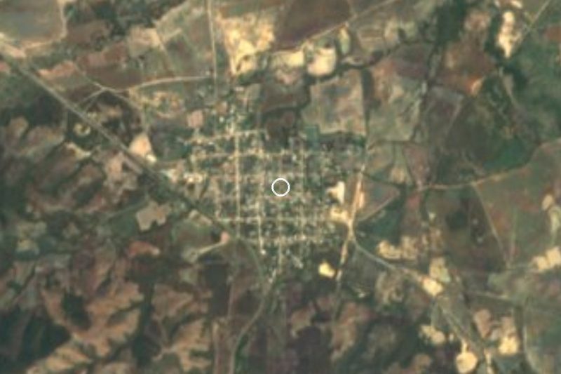


Drive times by road from OpenStreetMap, without traffic. Times marked ~ are estimated from the straight-line distance.
Location from OpenStreetMap. Written by Puebloteca.