

Archaeological site Santo Domingo Tehuantepec, Oaxaca Isthmus of Tehuantepec
Unrestored hilltop city of the last Zapotec kings above Tehuantepec, with pyramids, a ball court and walls, reached by an hour's hike.
Reached on foot from End of the dirt road to Guiengola, off Highway 190: 1 h each way. How to get there ↓
Near here
See everything nearby ↓


Plan your visit to Guiengola
Where to stay near Guiengola
Compare hotels, posadas and guest houses in Guiengola.
Tours to Guiengola
A guide brings Guiengola to life: look for tours from Oaxaca that include the site and the ride there.
How to get to Guiengola
- Reached on foot from End of the dirt road to Guiengola, off Highway 190: 1 h each way.
- From Salina Cruz: about 35 min by road (~31 km)
Links open a partner site. We may earn a commission if you book, at no cost to you.
About Guiengola
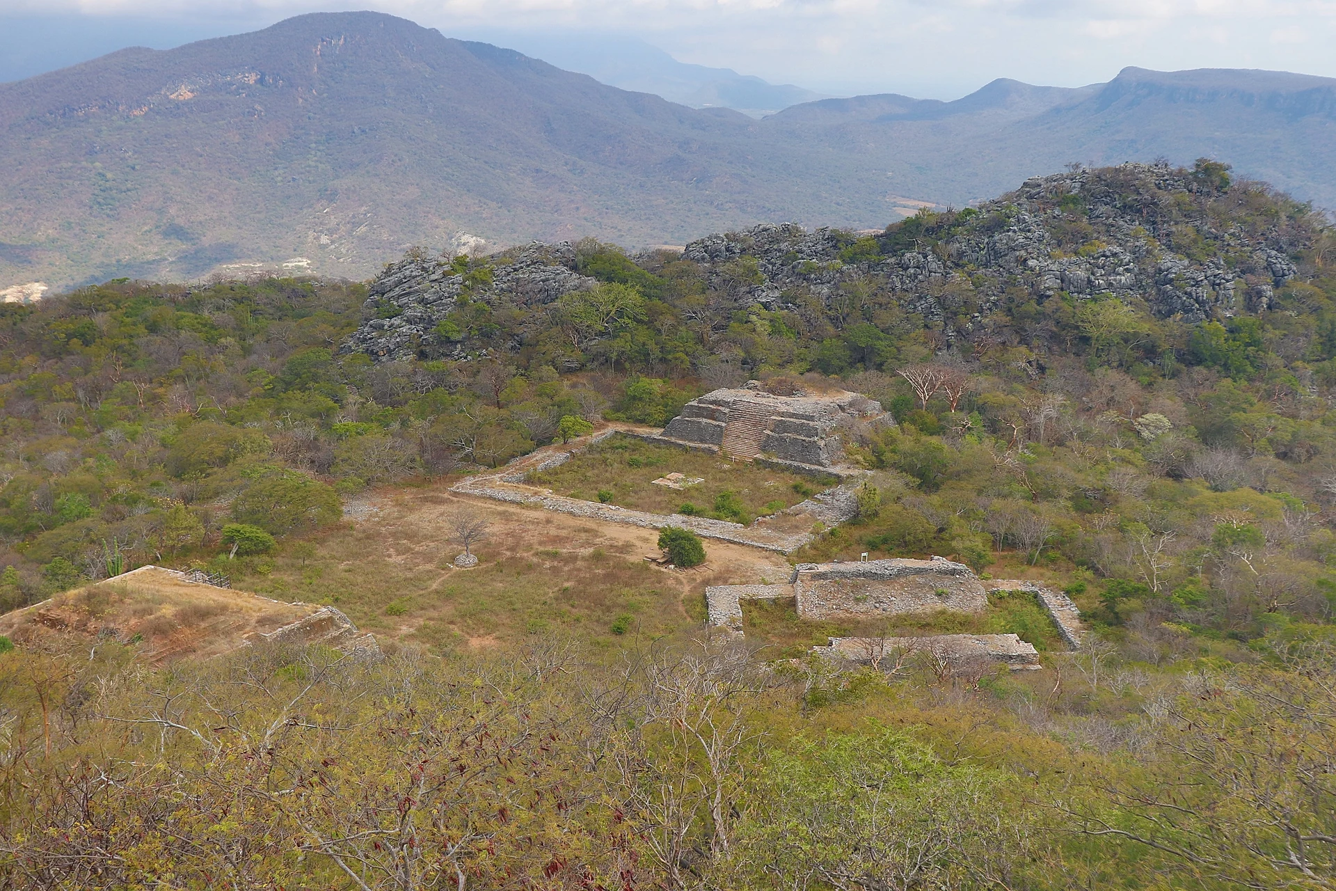
Guiengola (Isthmus Zapotec for "big stone") is a late Zapotec city spread over a rugged limestone mountain above the Tehuantepec River, about 12 km north-west of Tehuantepec in a straight line and just off Highway 190 to Oaxaca. It was occupied from around 1350 until the Spanish conquest. Tradition and early Spanish accounts make it the stronghold where the Zapotec lord Cosijoeza held out against the Aztec ruler Ahuizotl in the 1490s; the war ended with Cosijoeza marrying one of Ahuizotl's daughters, and their son Cosijopii became the last Zapotec king of Tehuantepec.
For a long time Guiengola was described as a fortress. A lidar survey led by the archaeologist Pedro Guillermo Ramón Celis between 2018 and 2023, published in Ancient Mesoamerica in 2024, showed something larger: a planned city of about 360 hectares with more than 1,100 structures, around 4 km of defensive walls, roads, temples, ball courts and separate districts for the elite and for commoners. Earlier explorers included Eduard Seler and, in the 20th century, David Peterson and Thomas MacDougall.
The ceremonial core sits on a levelled terrace of roughly 150 by 200 m between two rocky peaks. It holds an east and a west pyramid, each of three stepped bodies, a ball court with two round rooms, and, 200 m to the south-east, a palace complex of 64 rooms. Elsewhere there are robbed family tombs, cross-shaped tombs, caves with rock paintings and stretches of wall. Nothing has been rebuilt, and dry tropical forest covers much of it; the final approach is on foot, partly through a narrow passage between tall rocks, and from the top the view takes in the valley and, on clear days, the Pacific.
How to get to Guiengola
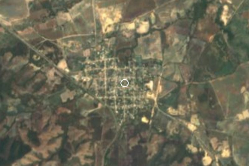
Drive from Salina Cruz to End of the dirt road to Guiengola, off Highway 190: 35 min, 31 km
From Oaxaca, follow the Pan-American Highway (190) toward Tehuantepec; past Jalapa del Marqués continue about 15 km to Las Tejas and take the signed turn for Guiengola. Drive 5.3 km on a dirt road, keep left at the fork, and park at the end: from there it is about an hour's walk uphill to the site. From Tehuantepec the trailhead is roughly 16 km (about 20 minutes) by road. There is no public transport to the trailhead, so take a taxi or go with a local guide.
Reached on foot from End of the dirt road to Guiengola, off Highway 190: 1 h each way.
Directions to Guiengola on Google Maps
Distances are in a straight line; the road is usually longer.
Links open a partner site. We may earn a commission if you book, at no cost to you.
From the nearest cities to Guiengola
- Salina Cruz · 31 km by road, 35 min to End of the dirt road to Guiengola, off Highway 190, then 1 h on foot
- Juchitán · 42 km by road, 45 min to End of the dirt road to Guiengola, off Highway 190, then 1 h on foot
- Oaxaca · 241 km by road, 3 h 45 min to End of the dirt road to Guiengola, off Highway 190, then 1 h on foot
Drive times by road from OpenStreetMap, without traffic or stops. Times marked ~ are estimated from the straight-line distance.
Before you go to Guiengola: hours, prices and tips
- Hours
- Officially open daily, 9 am to 6 pm. Staff may not always be on site, so ask at Tehuantepec's tourist office before going. INAH · checked Oct 2026
- Entry
- Free entry. Using a video camera costs 45 pesos; professional cameras and tripods need prior permission. INAH · checked Oct 2026
- Time needed
- About an hour's walk uphill each way from the end of the dirt road, plus time on the site. INAH · checked Oct 2026
- Guide or tour
- No tourist services; the custodians guide visitors when they can, and a local guide helps with the route and the history. Tours: Viator GetYourGuide INAH · checked Oct 2026
- What to bring
- Water, sun protection and sturdy shoes: there are no services on site. México Desconocido · checked Oct 2026
- Rules
- No smoking, food or pets on the site; follow the custodians' instructions. INAH · checked Oct 2026
Hours and prices change, especially around holidays. Each fact links to where we checked it.
Visiting Guiengola: what to see and do
Hike up through dry forest and the narrow rock passage to the ceremonial core.
Climb around the east and west pyramids and the ball court on the north plaza.
Find the 64-room palace complex south-east of the plazas.
Trace the old defensive walls along the hillside.
Look out over the Tehuantepec valley, and on a clear day to the Pacific.
Plan your trip
Places to stay in Guiengola
Compare hotels, posadas, and rentals in and around Guiengola.
Tours & activities
A guide brings Guiengola to life: look for tours from Oaxaca that include the site and the ride there.
Mobile data
Signal can drop away from Oaxaca: download a map of the way to Guiengola before you set out, or carry an eSIM with data.
Links open a partner site. We may earn a commission if you book, at no cost to you.
Photos
Closest to Guiengola
-
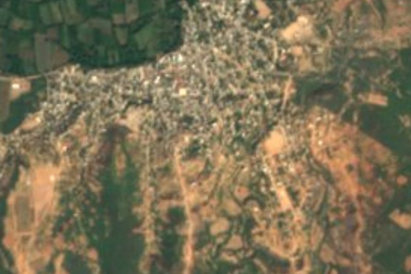
Santo Domingo Tehuantepec · Town · 11 km away
-
Santa María Jalapa del Marqués · Town · 14 km away
-
Magdalena Tlacotepec · Town · 18 km away
-
Presa Presidente Benito Juárez · Lake · 18 km away
-
Salina Cruz · City · 27 km away
-
Salinas del Marqués · Town · 27 km away
-
Magdalena Tequisistlán · Town · 30 km away
-
Asunción Ixtaltepec · Town · 31 km away

Near Guiengola
-
Salina Cruz · City
1 h 35 min: 1 h on foot back to End of the dirt road to Guiengola, off Highway 190, then drive -
Juchitán de Zaragoza · City · Oaxaca
1 h 45 min: 1 h on foot back to End of the dirt road to Guiengola, off Highway 190, then drive -
Juchitán · City
1 h 45 min: 1 h on foot back to End of the dirt road to Guiengola, off Highway 190, then drive -
Ciudad Ixtepec · Town · Oaxaca
1 h 45 min: 1 h on foot back to End of the dirt road to Guiengola, off Highway 190, then drive -
El Espinal · Town · Oaxaca
1 h 50 min: 1 h on foot back to End of the dirt road to Guiengola, off Highway 190, then drive -
La Ventosa · Town · Oaxaca
2 h: 1 h on foot back to End of the dirt road to Guiengola, off Highway 190, then drive -
Laguna Superior · Lagoon · Oaxaca
2 h 10 min: 1 h on foot back to End of the dirt road to Guiengola, off Highway 190, then drive -
Playa San Vicente · Village · Oaxaca
2 h 10 min: 1 h on foot back to End of the dirt road to Guiengola, off Highway 190, then drive -
Unión Hidalgo · Town · Oaxaca
2 h 10 min: 1 h on foot back to End of the dirt road to Guiengola, off Highway 190, then drive -
Chivela · Village · Oaxaca
2 h 20 min: 1 h on foot back to End of the dirt road to Guiengola, off Highway 190, then drive -
San Miguel Ecatepec · Village · Oaxaca
2 h 30 min: 1 h on foot back to End of the dirt road to Guiengola, off Highway 190, then drive



Drive times by road from OpenStreetMap, without traffic. Times marked ~ are estimated from the straight-line distance.
Lists with Guiengola
Ruins in Oaxaca · 12Location from OpenStreetMap. Written by Puebloteca.