
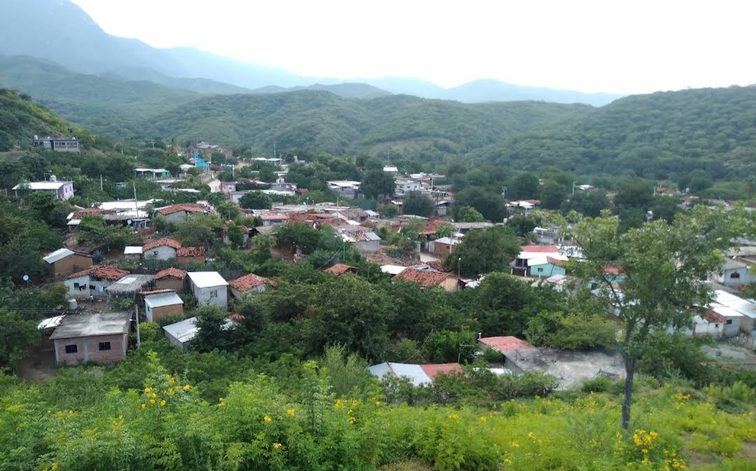
Village Magdalena Tequisistlán, Oaxaca Oaxaca Coast
Municipal agency of Magdalena Tequisistlán at 408 m, in hot lowland country south of the sierra; 667 people and a dirt access road.
From Salina Cruz: 1 h 50 min by car (95 km by road) How to get there ↓
Near here
See everything nearby ↓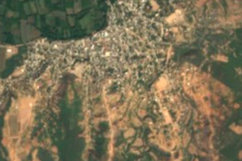


Plan your visit to San Miguel Ecatepec
Where to stay near San Miguel Ecatepec
Compare hotels, posadas and guest houses in San Miguel Ecatepec.
Tours to San Miguel Ecatepec
Day trips and guided outings from Mitla often include San Miguel Ecatepec; with a local guide you can get there without a car.
 Tours from Huatulco
Tour to Copalitilla Magical Waterfalls from Huatulco with admission included
★ 4.9 (414) · From US$55
How to get to San Miguel Ecatepec
- From Salina Cruz: about 1 h 50 min by road (~95 km)
- Nearest airport: Oaxaca (OAX), 47 min by car to Mitla
Links open a partner site. We may earn a commission if you book, at no cost to you.
Tours from Huatulco, near San Miguel Ecatepec


Tours, prices and ratings from Viator, checked weekly. We may earn a commission if you book.
About San Miguel Ecatepec
San Miguel Ecatepec sits at 408 metres above sea level in the lower part of the municipality of Magdalena Tequisistlán, in the Tehuantepec district. It is an agencia municipal and, with 667 people in 2020, the second largest of the municipality's 21 localities after the seat. The census counted 677 people in 2005, 752 in 2010 and 667 in 2020, so the village grew until 2010 and has lost residents since.
The climate is hot and semi-arid. The mean annual temperature is around 25 °C, May is the hottest month (about 27 °C on average) and highs above 40 °C have been recorded. About 1,470 mm of rain falls in a year, concentrated in the wet season. The surroundings are low hills: Cerro Tabloncillo (533 m) lies about 3 km north and Cerro Tepingo (433 m) just over 3 km to the northeast.
Unlike the Zapotec communities of the sierra, daily life here is almost entirely in Spanish: only about 5% of residents identify as indigenous and under 2% speak an indigenous language. In 2020 there were about 214 occupied homes; most have electricity and piped water, but only about a third had a mobile phone and almost none had internet, so do not count on steady signal.
The nearest neighbour is Asunción Tlacolulita (432 people, about 5 km southwest), which has the closest eating place. For lodging and shopping the practical base is the municipal seat, Magdalena Tequisistlán (3,605 people), about 22 km away.
How to get to San Miguel Ecatepec
Drive from Salina Cruz: 1 h 50 min, 95 km
San Miguel Ecatepec is in the Tehuantepec district and is reached by dirt road from the municipal seat, Magdalena Tequisistlán, about 22 km as the crow flies and around 30 km on the track itself. The seat is the reference point: it sits on the corridor of federal highway 190 between Oaxaca and Tehuantepec, so from Oaxaca (aprox. 136 km as the crow flies; by road it is considerably more and takes several hours) or from Tehuantepec you first reach Tequisistlán and then take the road to the village.
We found no bus or colectivo timetable for Ecatepec. Ask in the centre of Magdalena Tequisistlán about pickups or taxis to the village. Drivers should expect dirt road: it can get rough in the rainy season. Fill the tank, and carry water and cash, from the seat or Tehuantepec; mobile signal is limited, so download the map before you leave.
Directions to San Miguel Ecatepec on Google Maps
Distances are in a straight line; the road is usually longer.
Links open a partner site. We may earn a commission if you book, at no cost to you.
From the nearest cities to San Miguel Ecatepec
- Salina Cruz · 95 km by road, 1 h 50 min
- Juchitán · 106 km by road, 2 h
- Oaxaca · 233 km by road, 3 h 50 min
Drive times by road from OpenStreetMap, without traffic or stops. Times marked ~ are estimated from the straight-line distance.
Visiting San Miguel Ecatepec: what to see and do
Walk through the village and ask at the agencia municipal about the San Miguel fiesta.
Climb the nearby hills, such as Cerro Tabloncillo, for views of the dry valley country.
Visit Asunción Tlacolulita, about 5 km away, and eat at the comedor in the centre.
Plan for the heat: May is the warmest month, with highs above 40 °C on record.
Plan your trip
Places to stay in San Miguel Ecatepec
Compare hotels, posadas, and rentals in and around San Miguel Ecatepec.
Tours & activities
Day trips and guided outings from Mitla often include San Miguel Ecatepec; with a local guide you can get there without a car.
Rental cars
Pick up a car at OAX (Oaxaca): about 47 min by road to Mitla, then 98 km more to San Miguel Ecatepec, on your own schedule.
Flights
The nearest airport with scheduled flights is Oaxaca (OAX), about 47 min by road from Mitla, the base for San Miguel Ecatepec.
Mobile data
Signal can drop away from Mitla: download a map of the way to San Miguel Ecatepec before you set out, or carry an eSIM with data.
Links open a partner site. We may earn a commission if you book, at no cost to you.
When to go to San Miguel Ecatepec mild
San Miguel Ecatepec shares the climate of Mitla, 98 km away. The best months to visit are January, February, March, and December.
See the month-by-month climate of Mitla
Weather in San Miguel Ecatepec now and the next 7 days
Live forecast from Open-Meteo. Chance of rain is the day's highest.
The closest Pueblo Mágico: Mitla

Mitla is the Pueblo Mágico closest to San Miguel Ecatepec, with places to stay, food, and more to see.
Closest to San Miguel Ecatepec
-
Magdalena Tequisistlán · Town · 22 km away
-
Santa María Jalapa del Marqués · Town · 39 km away
-
Presa Presidente Benito Juárez · Lake · 41 km away
-
Guiengola · Archaeological site · 48 km away
Near San Miguel Ecatepec




Drive times by road from OpenStreetMap, without traffic. Times marked ~ are estimated from the straight-line distance.
Location from OpenStreetMap. Written by Puebloteca.