A region of Oaxaca
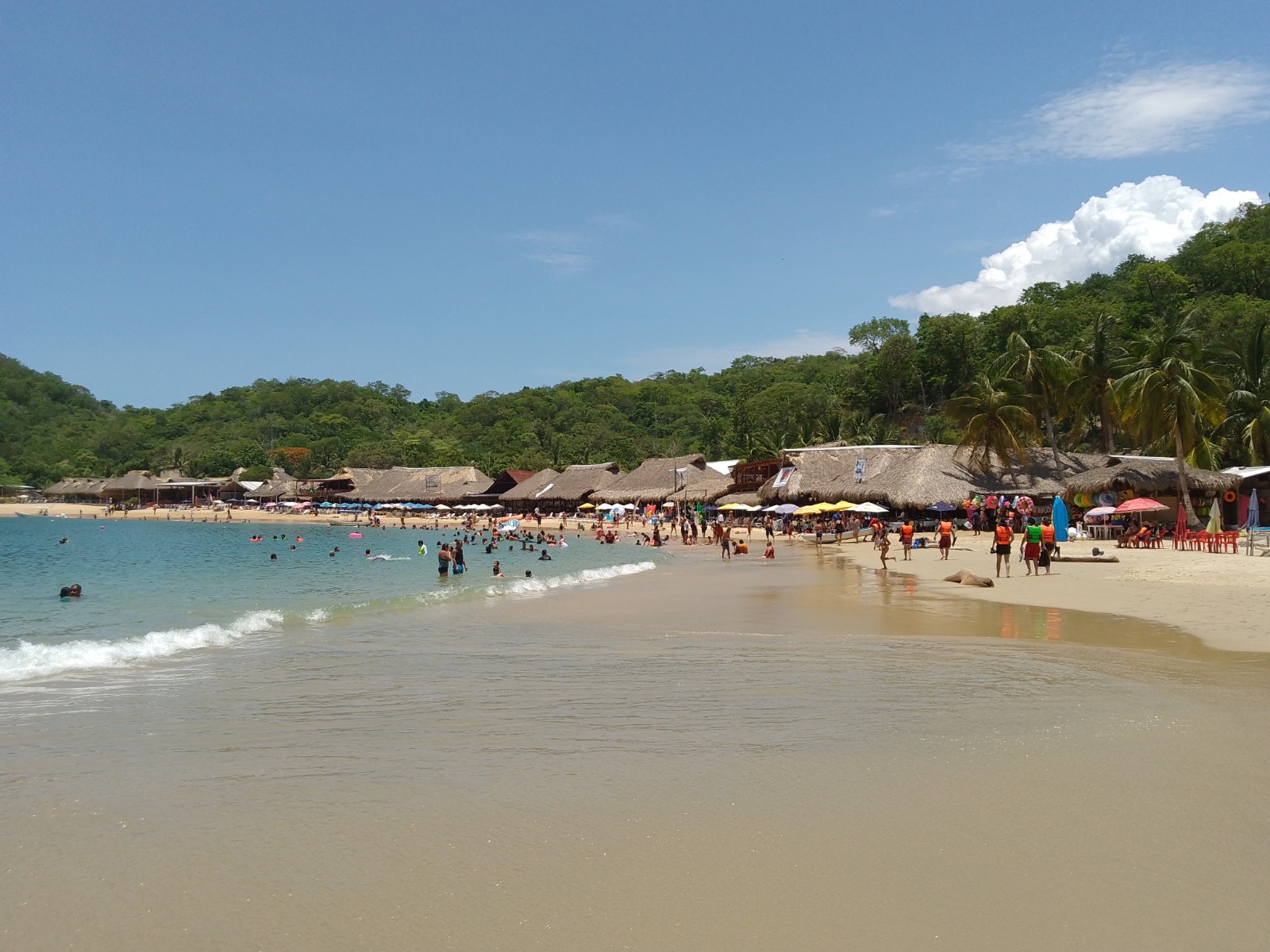
Nearly 600 km of Pacific shore from the Guerrero border to the Isthmus: the surf of Puerto Escondido, the lagoons of Chacahua, the small beach towns of Mazunte, Zipolite, San Agustinillo and Puerto Ángel, and the nine bays of Huatulco, with the coffee hills and the sanctuary town of Juquila inland.
2 Pueblos Mágicos · 54 places to visit
Pueblos Mágicos in Oaxaca Coast


Map
Places to visit in Oaxaca Coast 54
54 places with their own page, grouped by kind.
Towns · 22 Beaches · 19 Nature reserves · 5 Lagoons · 2 Villages · 2 Waterfalls · 2 Archaeological sites · 1 Viewpoints · 1
Towns
-
Candelaria Loxicha · Town · Oaxaca
Sierra Sur town at 445 m on Highway 175, 32 km from Pochutla; a Zapotec municipality of 79 localities governed by usos y costumbres. -
La Crucecita · Town · Oaxaca
Huatulco's everyday town: a shady central plaza, cafés and shops, and a church with a 20-metre Virgin of Guadalupe painted on its ceiling. -
Magdalena Tequisistlán · Town · Oaxaca
Chontal town in the Isthmus founded in 1410, with an 1884 church, marble quarries and a patron festival on 20-24 July. -
Miahuatlán de Porfirio Díaz · Town · Oaxaca
Sierra Sur seat at 1,558 m, about 104 km from Oaxaca on highway 175; site of the 3 October 1866 battle won by Porfirio Díaz, with a May fair. -
Puerto Escondido · Town · Oaxaca
The biggest town on the Oaxaca coast: a laid-back port with famous surf at Zicatela, calm coves for swimming and a lively evening scene. -
Puerto Ángel · Town · Mazunte
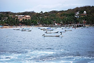
A small fishing port on a sheltered bay, with calm swimming beaches and boat trips to snorkel the coves nearby. -
Río Grande · Town · Oaxaca
A Oaxaca coast town of 15,373 people, also called Piedra Parada, on Highway 200; the usual jumping-off point for Laguna de Chacahua. -
San Agustinillo · Town · Mazunte
Mazunte's next-door village: a short strip of beach with gentle waves for bodyboarding and relaxed seafood restaurants. -
San Andrés Huaxpaltepec · Town · Oaxaca
Mixtec town of 6,234 on Highway 200 between Pinotepa and Jamiltepec, with the tortuga dance and a festival calendar all year. -
San Gabriel Mixtepec · Town · Oaxaca
Municipal seat in Oaxaca's Costa region, in the Sierra Madre del Sur foothills, "hill of clouds": coffee, maize and bananas, about 45 km from Juquila. -
San Juan Lachao · Town · Oaxaca
Seat of a Chatino-area municipality in Oaxaca's coastal sierra, at about 580 m, with a municipal market and a stream through town. -
San Juan Quiahije · Town · Oaxaca
Chatino town at nearly 2,000 m in the Juquila sierra, ringed by sacred hills such as Cerro Espina. -
San Miguel Panixtlahuaca · Town · Oaxaca
Chatino town in the Sierra Sur, about 10 km from Juquila, with a San Miguel Arcángel church and mountain coffee. -
San Miguel Suchixtepec · Town · Oaxaca
Sierra Sur municipal seat at 2,584 m with a Nahuatl name meaning flowery face of the hill, among pine forests. -
San Pedro Juchatengo · Town · Oaxaca
A stop on the Juquila pilgrim road at 851 m: a tourist market, comal food and a Todos Santos with carved wooden masks. -
San Pedro Pochutla · Town · Oaxaca
The busy market town at the junction of highways 175 and 200, where buses arrive and colectivos leave for Puerto Ángel, Zipolite and Mazunte. -
Santa María Amialtepec · Town · Juquila
The mountain village where the Virgin of Juquila was first venerated and came through the fire of 1633, now a quiet stop for pilgrims. -
Santa María Colotepec · Town · Oaxaca
Communal town at 48 m, seat of a coastal municipality reaching Zicatela; its 1880 church is under restoration and its 11 boundary stones date from 1715. -
Santa María Huatulco · Town · Oaxaca
The old inland seat of Huatulco, founded in 1539, with a colonial church, a plaza and a mural of local history in the town hall. -
Santa María Tonameca · Town · Oaxaca
The quiet inland seat of the municipality that includes Mazunte, on the Tonameca River, known for its eight-day May fiesta for the Virgin. -
Santiago Jamiltepec · Town · Oaxaca
Mixtec seat on the Costa Chica along Highway 200, with sundials in the park, a Dominican church and fire bulls on 12 December. -
Santiago Xanica · Town · Oaxaca
Zapotec coffee village in the Sierra Sur, above 1,000 m, growing coffee since 1877; its Santiago fiesta is on 25 July.











Beaches
-
Bahía El Maguey · Beach · Oaxaca
A calm, sheltered bay in Huatulco National Park with a row of palapa seafood restaurants and snorkelling off the rocks. -
Bahía El Órgano · Beach · Oaxaca
A small, undeveloped bay next to Maguey in Huatulco National Park, reached by a short forest trail or by boat; no services. -
Bahía de Cacaluta · Beach · Oaxaca
A wild, 1 km beach in Huatulco National Park, sheltered by an island and backed by dunes; reached on a forest trail or by boat. -
Bahía de Chahué · Beach · Oaxaca
A wide sandy bay between Santa Cruz and Tangolunda, below La Crucecita, with a small marina, beach clubs and Blue Flag status. -
Bahía de Santa Cruz · Beach · Oaxaca
Huatulco's harbour bay: a town beach, the cruise pier and marina where bay tours leave, and the open-air Capilla de la Santa Cruz. -
Bahía de Tangolunda · Beach · Oaxaca
Huatulco's resort bay: a long sandy beach lined with large hotels, the Tangolunda golf course and calm water for swimming and snorkelling. -
Barra de la Cruz · Beach · Oaxaca
A Chontal village beach east of Huatulco with a long, fast right-hand point break that hosted a world tour surf contest in 2006. -
La Punta (Playa Zicatela) · Beach · Oaxaca
The south end of Playa Zicatela in Puerto Escondido: a friendly left point break, sandy streets and a laid-back surf village. -
Playa Bacocho · Beach · Oaxaca
A long, open beach below Puerto Escondido's Bacocho neighbourhood, known for its sunsets and the daily release of olive ridley hatchlings. -
Playa Carrizalillo · Beach · Oaxaca
A small sheltered cove on Puerto Escondido's west side, reached by about 167 steps, with clear calm water for swimming, snorkelling and first surf lessons. -
Playa Escobilla · Beach · Oaxaca
The world's main nesting beach for olive ridley turtles, where hundreds of thousands come ashore together in mass arribadas. -
Playa Estacahuite · Beach · Mazunte
Tiny coves just past Puerto Ángel with clear, calm water, good for snorkeling over rocks and coral. -
Playa La Boquilla · Beach · Oaxaca
A small, sheltered sandy cove east of Puerto Ángel, good for snorkelling, reached by boat or by a rough dirt road. -
Playa La Entrega · Beach · Oaxaca
A calm 300 m cove at the mouth of Santa Cruz bay with a roped-off coral reef for snorkelling, where Vicente Guerrero was handed over in 1831. -
Playa Mermejita · Beach · Oaxaca
A long, undeveloped beach just west of Mazunte between Punta Cometa and Punta Ventanilla, known for sunsets and dangerous currents. -
Playa Puerto Angelito · Beach · Oaxaca
Two small, sheltered beaches in a cove west of central Puerto Escondido, with calm water for swimming and snorkelling. -
Playa Roca Blanca · Beach · Oaxaca
A long open beach west of Puerto Escondido, named for the guano-whitened rock offshore, with palapa restaurants and hammocks. -
Playa Zicatela · Beach · Oaxaca
Puerto Escondido's long open surf beach, the "Mexican Pipeline": heavy barrels for experts, surf-town life and sunsets for everyone else. -
Zipolite · Beach · Mazunte
A long, wild surf beach with a 1970s backpacker spirit, Mexico's best-known clothing-optional beach and big sunsets.




Nature reserves
-
Bahías de Huatulco · Nature reserve · Mazunte
A national park of quiet bays, coral and dry tropical forest, toured by boat from the marina at Santa Cruz. -
La Ventanilla · Nature reserve · Mazunte
A community-run mangrove lagoon where local guides row you past crocodiles, iguanas and herons. -
Parque Nacional Huatulco · Nature reserve · Oaxaca
A national park since 1998 protecting dry forest, reefs and five of Huatulco's bays, including Cacaluta, Chachacual and San Agustín. -
Parque Nacional Lagunas de Chacahua · Nature reserve · Oaxaca
A 1937 national park of lagoons, mangroves and beach west of Puerto Escondido, with the fishing village of Chacahua on its sandbar. -
Río Copalita · Nature reserve · Oaxaca
The main river of the Huatulco coast, running from the Sierra Sur to La Bocana, with rafting from family floats to class IV rapids.


Lagoons
-
Laguna de Manialtepec · Lagoon · Oaxaca
A mangrove-lined coastal lagoon 16–18 km west of Puerto Escondido, visited by boat for birdwatching by day and glowing bioluminescent water by night. -
Laguna de Pastoría · Lagoon · Oaxaca
The eastern lagoon of Lagunas de Chacahua National Park: 9 km long, with mangroves, bird islets and the boat landing at El Zapotalito.


Villages
-
San Miguel Ecatepec · Village · Oaxaca
Municipal agency of Magdalena Tequisistlán at 408 m, in hot lowland country south of the sierra; 667 people and a dirt access road. -
Ventanilla · Village · Oaxaca
Village of 649 on the Colotepec plain; gives its name to the junction and toll plaza of the Oaxaca-Puerto Escondido motorway.

Waterfalls
-
Cascada de la Reforma · Waterfall · Oaxaca
A roughly 50 m waterfall in the hills above Puerto Escondido, with a swimming pool at its foot; dirt road, then a short walk. -
Cascadas Mágicas de Copalitilla · Waterfall · Oaxaca
A run of about 30 waterfalls and swimming pools on the Copalitilla river in the hills behind Huatulco, the area's classic day trip.


Archaeological sites
-
Parque Eco-Arqueológico Copalita · Archaeological site · Oaxaca
A pre-Hispanic ceremonial centre with a ball court and acropolis above the mouth of the Copalita river, with a site museum and sea views.

Viewpoints
-
Punta Cometa · Viewpoint · Oaxaca
The rocky headland west of Mazunte, Oaxaca's southernmost point, where a short trail leads to a famous sunset viewpoint.

Top tours in Oaxaca Coast


Tours, prices and ratings from Viator, checked weekly. We may earn a commission if you book.
Getting around Oaxaca Coast
Fly into Huatulco (HUX) and Puerto Escondido (PXM).
Most of the region is reached by road: a rental car is the easiest way to see several places in a day, and buses link the larger towns.
Also by boat or on foot (each page says from where): Bahía El Órgano, Bahía de Cacaluta, Parque Nacional Lagunas de Chacahua.