


Viewpoint Santa María Tonameca, Oaxaca Municipality of Santa María Tonameca Oaxaca Coast
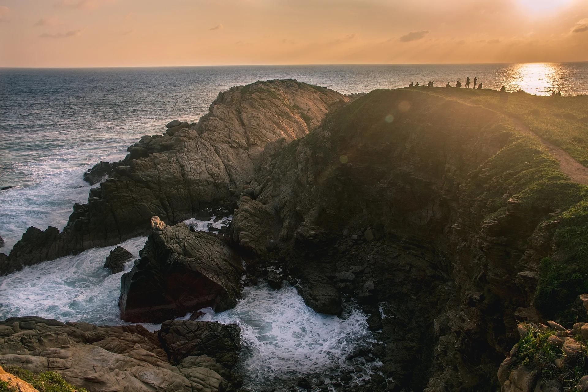
The rocky headland west of Mazunte, Oaxaca's southernmost point, where a short trail leads to a famous sunset viewpoint.
From Salina Cruz: 2 h 35 min by car (202 km by road) How to get there ↓
Near here
See everything nearby ↓



Plan your visit to Punta Cometa
Where to stay near Punta Cometa
Compare hotels, posadas and guest houses in Punta Cometa.
Tours to Punta Cometa
Day trips and guided outings from Mazunte often include Punta Cometa; with a local guide you can get there without a car.
 Mazunte, Zipolite, Ventanilla, Punta Cometa
★ 4.6 (19) · From US$199
How to get to Punta Cometa
- From Salina Cruz: about 2 h 35 min by road (~202 km)
- Nearest airport: Huatulco (HUX), 44 min by car to Mazunte
Links open a partner site. We may earn a commission if you book, at no cost to you.
Popular tours to Punta Cometa
Tours, prices and ratings from Viator, checked weekly. We may earn a commission if you book.
About Punta Cometa
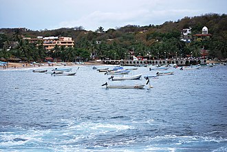
Punta Cometa is the small peninsula of rock and dry scrub that closes off the west end of Mazunte's beach, between the village and Playa Mermejita, in the municipality of Santa María Tonameca. It is the southernmost point of the state of Oaxaca, and because the sea surrounds it on three sides you can watch both the sunrise and the sunset from its tip. Locals also call it the Cerro Sagrado, the sacred hill, and it is a stopping point for migratory birds, with whales and dolphins often seen offshore.
The headland has a long history as a lookout. In pre-Hispanic times the Aztecs used it as a military post and built a low wall around it, whose remains are known locally as the corral de piedra, the stone corral. In the colonial period both Spanish forces and pirates watched the sea from here, taking advantage of its view of almost 180 degrees, and stories of hidden Aztec or pirate treasure are still told in Mazunte.
Today it is crossed by well-used, well-marked trails. The climb starts with stone steps above Playa Rinconcito at the west end of Mazunte, or from the Mermejita side, and takes about 20 to 30 minutes. At sunset people gather on the rocks at the point to watch the sun drop into the Pacific. On the eastern side a path leads down the cliff to a natural rock pool where swimmers can cool off on calm days.
How to get to Punta Cometa
Drive from Salina Cruz: 2 h 35 min, 202 km
Punta Cometa rises at the west end of Mazunte, 22 km southwest of San Pedro Pochutla on Highway 200 and about an hour and a half by road from Puerto Escondido. From the village, walk to Playa Rinconcito and take the stone steps up the hill, or follow the Camino a Mermejita and the trail from that beach; it is about 22 minutes on foot from Mazunte beach and 28 from Mermejita. Colectivos run to Mazunte from Pochutla, Zipolite, Puerto Escondido and Huatulco.
Directions to Punta Cometa on Google Maps
Distances are in a straight line; the road is usually longer.
Links open a partner site. We may earn a commission if you book, at no cost to you.
From the nearest cities to Punta Cometa
- Salina Cruz · 202 km by road, 2 h 35 min
- Juchitán · 244 km by road, 3 h 15 min
- Oaxaca · 232 km by road, 3 h 20 min
Drive times by road from OpenStreetMap, without traffic or stops. Times marked ~ are estimated from the straight-line distance.
Before you go to Punta Cometa: hours, prices and tips
- Entry
- A small community fee of about 10 pesos was being collected on the trail in 2025 (a tour operator lists 30 pesos). Food and Pleasure (Jul 2025) · checked Oct 2026
- Time needed
- About 22 minutes' walk from Mazunte beach, 28 from Mermejita; allow an hour or two with the sunset. Food and Pleasure (Jul 2025) · checked Oct 2026
- Best time of day
- Sunset is the classic time; the point also faces the sunrise. Wikivoyage · checked Oct 2026
- What to bring
- Comfortable shoes, water, sunscreen, a hat, and a swimsuit if you want to go down to the water. Food and Pleasure (Jul 2025) · checked Oct 2026
Hours and prices change, especially around holidays. Each fact links to where we checked it.
Visiting Punta Cometa: what to see and do
Hike up from Playa Rinconcito to the tip of the headland.
Watch the sunset, or the sunrise, from Oaxaca's southernmost point.
Scan the sea for whales and dolphins in season.
Climb down to the natural rock pool on the eastern side on a calm day.
Look for the remains of the old stone wall, the corral de piedra.
Combine the walk with Playa Mermejita on the far side.
Plan your trip
Places to stay in Punta Cometa
Compare hotels, posadas, and rentals in and around Punta Cometa.
Tours & activities
Day trips and guided outings from Mazunte often include Punta Cometa; with a local guide you can get there without a car.
Rental cars
Pick up a car at HUX (Huatulco): about 44 min by road to Mazunte, then 1 km more to Punta Cometa, on your own schedule.
Flights
The nearest airport with scheduled flights is Huatulco (HUX), about 44 min by road from Mazunte, the base for Punta Cometa.
Mobile data
Signal can drop away from Mazunte: download a map of the way to Punta Cometa before you set out, or carry an eSIM with data.
Links open a partner site. We may earn a commission if you book, at no cost to you.
Photos
When to go to Punta Cometa warm
Punta Cometa shares the climate of Mazunte, 1 km away. The best months to visit are January, February, November, and December.
For the clearest views from Punta Cometa, go in the driest months (February, March, April, and December); in the rains, clouds tend to build up by midday.
See the month-by-month climate of Mazunte
Weather in Punta Cometa now and the next 7 days
Live forecast from Open-Meteo. Chance of rain is the day's highest.
The closest Pueblo Mágico: Mazunte

Mazunte is the Pueblo Mágico closest to Punta Cometa, with places to stay, food, and more to see.
Closest to Punta Cometa
-
Playa Mermejita · Beach · 1 km away
-
La Ventanilla · Nature reserve · 2 km away
-
San Agustinillo · Town · 2 km away
-
Zipolite · Beach · 4 km away
-
Puerto Ángel · Town · 7 km away
-
Playa Estacahuite · Beach · 8 km away
-
Playa La Boquilla · Beach · 10 km away
-
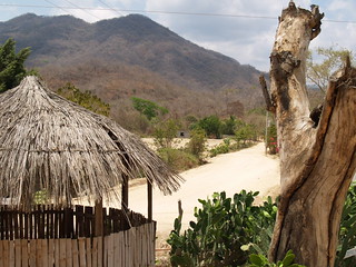
Santa María Tonameca · Town · 10 km away


Near Punta Cometa


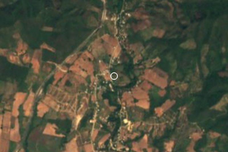


Drive times by road from OpenStreetMap, without traffic. Times marked ~ are estimated from the straight-line distance.
Lists with Punta Cometa
Viewpoints in Oaxaca · 3Location from OpenStreetMap. Written by Puebloteca.