


Town Santa María Huatulco, Oaxaca Municipality of Santa María Huatulco Oaxaca Coast
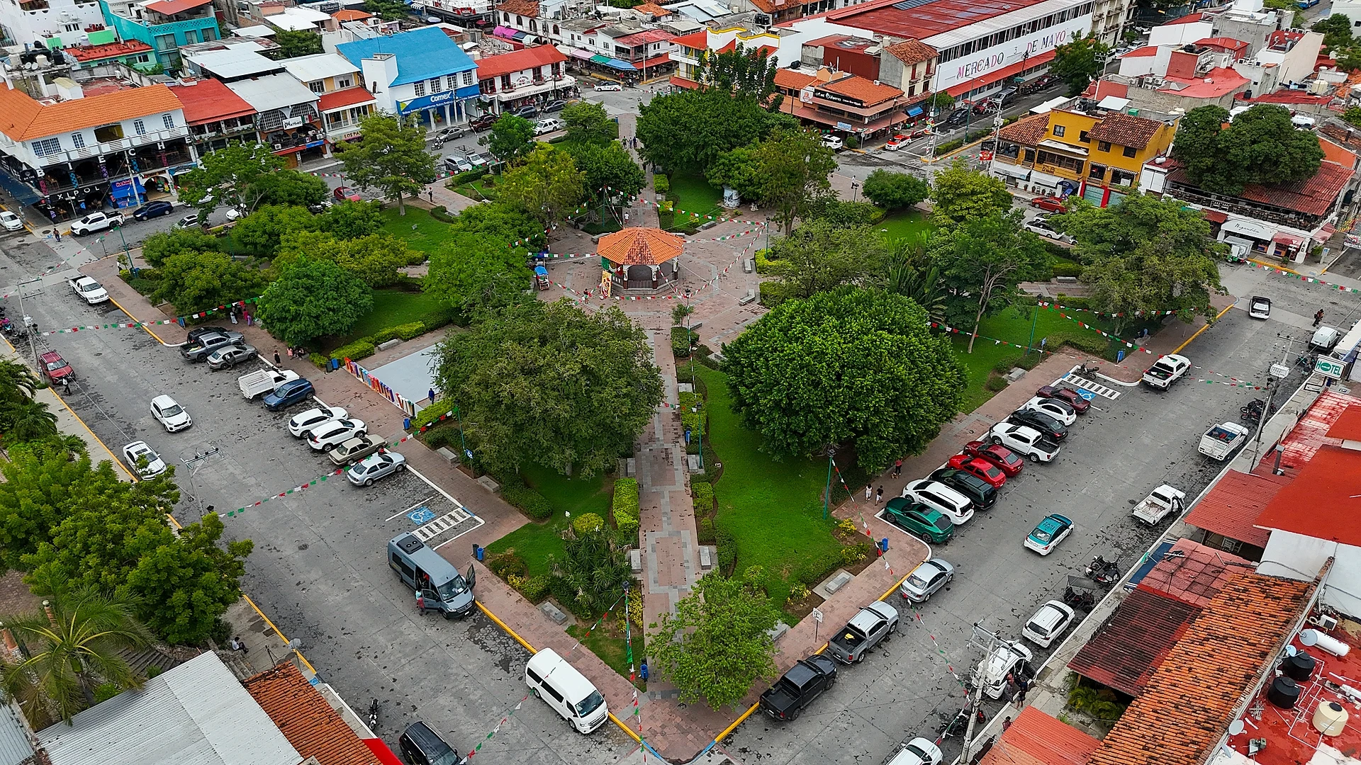
Huatulco's everyday town: a shady central plaza, cafés and shops, and a church with a 20-metre Virgin of Guadalupe painted on its ceiling.
From Salina Cruz: 1 h 50 min by car (145 km by road) How to get there ↓
Near here


Plan your visit to La Crucecita
Where to stay near La Crucecita
Compare hotels, posadas and guest houses in La Crucecita.
Tours to La Crucecita
Day trips around Mazunte sometimes stop in La Crucecita; a tour is the easy way to see it without a car.
 Huatulco Walking Food Tour
★ 4.8 (127) · From US$75
How to get to La Crucecita
- From Salina Cruz: about 1 h 50 min by road (~145 km)
- Nearest airport: Huatulco (HUX), 44 min by car to Mazunte
Links open a partner site. We may earn a commission if you book, at no cost to you.
Popular tours to La Crucecita


Tours, prices and ratings from Viator, checked weekly. We may earn a commission if you book.
About La Crucecita
La Crucecita is the town at the heart of the Bahías de Huatulco resort, set a couple of kilometres inland from Santa Cruz bay behind a line of low hills. It is the largest settlement in the municipality of Santa María Huatulco, with 19,252 residents counted in the census, and it is where most of the people who work in Huatulco's hotels, restaurants and boats actually live and shop. The international airport lies about 10 km to the west and the Tangolunda hotel zone about 5 km to the east.
The town is young. FONATUR, the federal tourism development agency, began building the Huatulco resort in the early 1980s, and in 1985 it started work on the airport and on La Crucecita as a planned service town. In 1986 the families of the old fishing and farming village on Santa Cruz bay were moved here to make way for the marina and hotels. The planners deliberately kept the town apart from the coastal tourist strip, which is why it feels like a working Mexican town rather than a resort. On 23 June 2020 La Crucecita was the epicentre of a magnitude 7.5 earthquake.
Life centres on the jardín, the central plaza with its trees and benches, ringed by restaurants, mezcal bars and craft shops. Facing it stands the Parroquia de Nuestra Señora de Guadalupe y de la Santa Cruz, a modern church consecrated in 2000. Its ceiling carries a painting of the Virgin of Guadalupe about 20 metres long, done in acrylics by José Ángel del Signo with Marco Antonio Contreras Andrade over 18 months, and side murals tell the story of Huatulco. It is also the hub for buses, taxis and colectivos to every bay.
How to get to La Crucecita
Drive from Salina Cruz: 1 h 50 min, 145 km
La Crucecita lies about 4 km south of Federal Highway 200, the coast road that links it with Pochutla and Puerto Escondido to the west and Salina Cruz to the east. Bahías de Huatulco International Airport is about 10 km west, a 10 to 20 minute drive. First-class ADO buses and second-class buses stop near downtown, and Estrella Blanca uses a station on the north edge of town. Colectivo taxis run down to Santa Cruz bay, a walk of at least 30 minutes.
Directions to La Crucecita on Google Maps
Distances are in a straight line; the road is usually longer.
Links open a partner site. We may earn a commission if you book, at no cost to you.
From the nearest cities to La Crucecita
- Salina Cruz · 145 km by road, 1 h 50 min
- Juchitán · 187 km by road, 2 h 25 min
- Oaxaca · 279 km by road, 4 h
Drive times by road from OpenStreetMap, without traffic or stops. Times marked ~ are estimated from the straight-line distance.
What to see in La Crucecita 5
Sights with their own page, closest to the centre first.
-
Bahía de Chahué · Beach · 2 km from the centre
A wide sandy bay between Santa Cruz and Tangolunda, below La Crucecita, with a small marina, beach clubs and Blue Flag status. -
Bahía de Santa Cruz · Beach · 2 km from the centre
Huatulco's harbour bay: a town beach, the cruise pier and marina where bay tours leave, and the open-air Capilla de la Santa Cruz. -
Bahía El Órgano · Beach · 3 km from the centre
A small, undeveloped bay next to Maguey in Huatulco National Park, reached by a short forest trail or by boat; no services. -
Playa La Entrega · Beach · 3 km from the centre
A calm 300 m cove at the mouth of Santa Cruz bay with a roped-off coral reef for snorkelling, where Vicente Guerrero was handed over in 1831. -
Bahía El Maguey · Beach · 4 km from the centre
A calm, sheltered bay in Huatulco National Park with a row of palapa seafood restaurants and snorkelling off the rocks.
Map of La Crucecita
Day trips and tours from La Crucecita
The closest Pueblos Mágicos and places to visit, with the drive from La Crucecita and tours that leave from it.




Times marked ~ are estimated from the distance. Links open a partner site. We may earn a commission if you book, at no cost to you.
Before you go: getting to and around La Crucecita
- The nearest airport is Huatulco (HUX).
- The best months to go are January, February, November, and December.
- 1 of the places on this page is more than 3 km from the centre: take a taxi, a ride-hailing app or a local bus.
- Bahía El Órgano: reached by boat or on foot, not by road (each page says from where).
- For day trips a rental car gives the most freedom; the tours above leave from La Crucecita.
Before you go to La Crucecita: hours, prices and tips
- Rules
- Don't use flash when photographing the ceiling painting in the church; it helps protect the colours. Tus Buenas Noticias (Oct 2025) · checked Oct 2026
Hours and prices change, especially around holidays. Each fact links to where we checked it.
Visiting La Crucecita: what to see and do
Sit in the shade of the central jardín and watch the town go by.
Look up at the 20-metre Virgin of Guadalupe on the ceiling of the parish church.
Find the murals of Huatulco's history along the church's side walls.
Eat at one of the restaurants around the plaza.
Browse the craft shops and mezcal bars on the streets off the square.
Catch a colectivo taxi down to Santa Cruz bay for the beach and boat tours.
Plan your trip
Places to stay in La Crucecita
Compare hotels, posadas, and rentals in and around La Crucecita.
Tours & activities
Day trips around Mazunte sometimes stop in La Crucecita; a tour is the easy way to see it without a car.
Rental cars
Pick up a car at HUX (Huatulco): about 44 min by road to Mazunte, then 46 km more to La Crucecita, on your own schedule.
Flights
The nearest airport with scheduled flights is Huatulco (HUX), about 44 min by road from Mazunte, the base for La Crucecita.
Mobile data
Signal can drop away from Mazunte: download a map of the way to La Crucecita before you set out, or carry an eSIM with data.
Links open a partner site. We may earn a commission if you book, at no cost to you.
Photos
When to go to La Crucecita warm
La Crucecita shares the climate of Mazunte, 46 km away. The best months to visit are January, February, November, and December.
See the month-by-month climate of Mazunte
Weather in La Crucecita now and the next 7 days
Live forecast from Open-Meteo. Chance of rain is the day's highest.
The closest Pueblo Mágico: Mazunte

Mazunte is the Pueblo Mágico closest to La Crucecita, with places to stay, food, and more to see.
Near La Crucecita
-
Bahía de Cacaluta · Beach · Oaxaca
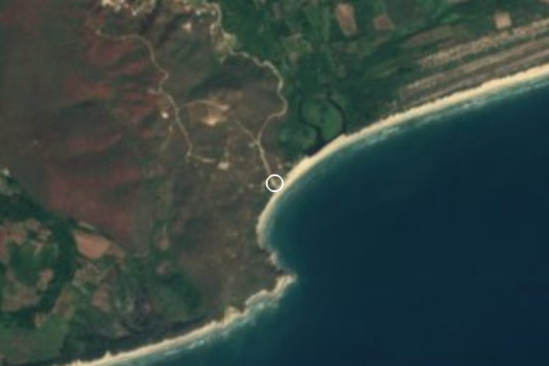
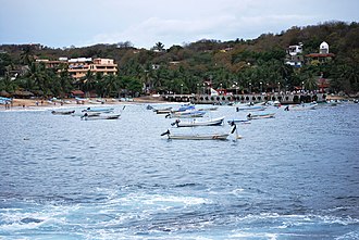
55 min: drive to Cacaluta trailhead car park, then 45 min on foot





Drive times by road from OpenStreetMap, without traffic. Times marked ~ are estimated from the straight-line distance.
Location from OpenStreetMap. Written by Puebloteca.