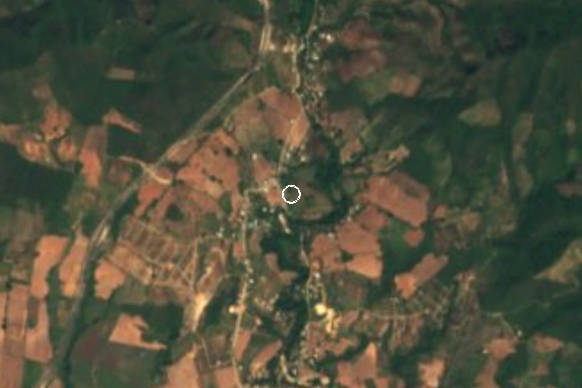
Village Santa María Colotepec, Oaxaca Municipality of Santa María Colotepec Oaxaca Coast
Village of 649 on the Colotepec plain; gives its name to the junction and toll plaza of the Oaxaca-Puerto Escondido motorway.
From Oaxaca: 2 h 35 min by car (181 km by road) How to get there ↓
Near here
See everything nearby ↓


Plan your visit to Ventanilla
Where to stay near Ventanilla
Compare hotels, posadas and guest houses in Ventanilla.
Tours to Ventanilla
Day trips and guided outings from Mazunte often include Ventanilla; with a local guide you can get there without a car.
 Tour Cocodrilos en Ventanilla, Mazunte, Zipolite+ Libera tortugas
★ 4.8 (101) · From US$56
How to get to Ventanilla
- From Oaxaca: about 2 h 35 min by road (~181 km)
- Nearest airport: Huatulco (HUX), 44 min by car to Mazunte
Links open a partner site. We may earn a commission if you book, at no cost to you.
Popular tours to Ventanilla


Tours, prices and ratings from Viator, checked weekly. We may earn a commission if you book.
About Ventanilla
Ventanilla has 649 residents (2020 census; 634 in 2010 and 483 in 2005) and lies on the coastal plain of Santa María Colotepec, at an altitude of 40 to 64 m depending on the source. It is one of the municipality's 78 localities, set inland with no beach of its own. Do not mix it up with La Ventanilla in Santa María Tonameca, the crocodile lagoon near Mazunte: they are two separate places that share a name.
The name became familiar through the Barranca Larga-Ventanilla motorway. The 104 km road, which opened in early 2024, starts at federal highway 200 at the Ventanilla junction and climbs to highway 175 at Barranca Larga, close to the city of Oaxaca. This end has one of the two toll plazas, Ventanilla, at a spot called Paso Lagarto. For drivers coming down from the capital it is the last toll before Puerto Escondido.
The village itself is small and rural. Its nearest neighbours are Aguaje Ramírez, about 1.8 km away with 128 residents, and Charco Seco, about 3.4 km away with 117. In 2020 nearly every home had electricity (98%), nine in ten had piped water and 92% had a cell phone, though only 13% had internet. About 8% of people identify as Indigenous. There is no registered lodging in the village; hotels and hostels are in Puerto Escondido and Zicatela, the latter about 16 km away.
As elsewhere in the municipality, each community marks its patron saint with mass, a calenda parade, brass bands and dancing, often a rodeo, over three days. We did not find the date of Ventanilla's fiesta; ask locally.
How to get to Ventanilla
Drive from Oaxaca: 2 h 35 min, 181 km
From Puerto Escondido, take federal highway 200 east to the Ventanilla junction; sources say anything from 15 to 45 minutes depending on traffic, so allow about 30. From the city of Oaxaca, the Barranca Larga-Ventanilla motorway (104 km) leaves highway 175 at Barranca Larga, about 20 minutes from the capital, and ends here: allow 2.5 to 3 hours by car. There are two toll plazas, Barranca Larga and Ventanilla, and since 13 April 2026 each charges 245 pesos per car (490 in total); both take cash and TAG. The toll-free alternative is highway 175 through Miahuatlán and Pochutla, then the 200, 5 to 7 hours.
By bus: ADO estimates about 3 hours from Oaxaca to Puerto Escondido, and some OCC/ADO departures take the motorway while others use the mountain road (highway 131); ask at the ticket counter whether the bus goes by the autopista. Oaxaca's first-class terminal is on Calzada Niños Héroes de Chapultepec. We found no public transport that stops in the village itself: the practical way is a taxi or a car from Puerto Escondido. Slope-stabilisation works have closed lanes at times, so check the road before you set out.
Directions to Ventanilla on Google Maps
Distances are in a straight line; the road is usually longer.
Links open a partner site. We may earn a commission if you book, at no cost to you.
From the nearest cities to Ventanilla
- Oaxaca · 181 km by road, 2 h 35 min
- Salina Cruz · 244 km by road, 3 h 15 min
- Juchitán · 287 km by road, 3 h 55 min
Drive times by road from OpenStreetMap, without traffic or stops. Times marked ~ are estimated from the straight-line distance.
Before you go to Ventanilla: hours, prices and tips
- What to bring
- Bring cash or a TAG for the two tolls on the motorway (245 pesos per car at each plaza as of April 2026). OAXWAY, Casetas y peajes Oaxaca-Puerto Escondido 2026 · checked Oct 2026
Hours and prices change, especially around holidays. Each fact links to where we checked it.
Visiting Ventanilla: what to see and do
Look at the junction and toll plaza, the coastal end of the road to Oaxaca.
Walk the village and the lanes to Aguaje Ramírez, 1.8 km away.
Continue to Charco Seco, about 3.4 km.
Drop down to Puerto Escondido and Zicatela beach (about 16 km).
Ask about the patron saint fiesta: three days of calenda, band and dancing.
Plan your trip
Places to stay in Ventanilla
Compare hotels, posadas, and rentals in and around Ventanilla.
Tours & activities
Day trips and guided outings from Mazunte often include Ventanilla; with a local guide you can get there without a car.
Rental cars
Pick up a car at HUX (Huatulco): about 44 min by road to Mazunte, then 48 km more to Ventanilla, on your own schedule.
Flights
The nearest airport with scheduled flights is Huatulco (HUX), about 44 min by road from Mazunte, the base for Ventanilla.
Mobile data
Signal can drop away from Mazunte: download a map of the way to Ventanilla before you set out, or carry an eSIM with data.
Links open a partner site. We may earn a commission if you book, at no cost to you.
When to go to Ventanilla warm
Ventanilla shares the climate of Mazunte, 48 km away. The best months to visit are January, February, November, and December.
See the month-by-month climate of Mazunte
Weather in Ventanilla now and the next 7 days
Live forecast from Open-Meteo. Chance of rain is the day's highest.
The closest Pueblo Mágico: Mazunte

Mazunte is the Pueblo Mágico closest to Ventanilla, with places to stay, food, and more to see.
Also close to
- Juquila · Oaxaca · 58 km away
Closest to Ventanilla
-
La Punta (Playa Zicatela) · Beach · 8 km away
-
Playa Zicatela · Beach · 9 km away
-
Santa María Colotepec · Town · 9 km away
-
Playa Carrizalillo · Beach · 12 km away
-
Playa Puerto Angelito · Beach · 12 km away
-
Puerto Escondido · Town · 12 km away
-
Playa Bacocho · Beach · 14 km away
-
Cascada de la Reforma · Waterfall · 19 km away


Near Ventanilla


Drive times by road from OpenStreetMap, without traffic. Times marked ~ are estimated from the straight-line distance.
Location from OpenStreetMap. Written by Puebloteca.