

Town San Gabriel Mixtepec, Oaxaca Oaxaca Coast
Municipal seat in Oaxaca's Costa region, in the Sierra Madre del Sur foothills, "hill of clouds": coffee, maize and bananas, about 45 km from Juquila.
From Oaxaca: 3 h 15 min by car (204 km by road) How to get there ↓
Near here
See everything nearby ↓


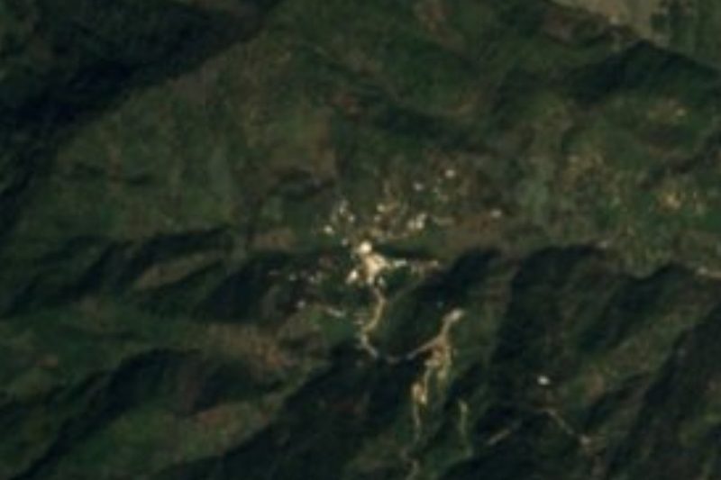
Plan your visit to San Gabriel Mixtepec
Where to stay near San Gabriel Mixtepec
Compare hotels, posadas and guest houses in San Gabriel Mixtepec.
Tours to San Gabriel Mixtepec
Day trips around Juquila sometimes stop in San Gabriel Mixtepec; a tour is the easy way to see it without a car.
How to get to San Gabriel Mixtepec
- From Oaxaca: about 3 h 15 min by road (~204 km)
- Nearest airport: Puerto Escondido (PXM), 1 h 22 min by car to Juquila
Links open a partner site. We may earn a commission if you book, at no cost to you.
About San Gabriel Mixtepec
San Gabriel Mixtepec is the seat of a municipality of about 482 km² of hilly land in the Sierra Madre del Sur foothills, in the Juquila district of Oaxaca's Costa region. Mixtepec means "hill of clouds". The municipality lies at about 1,380 m, with a warm, sub-humid climate, an average temperature of 24 °C and about 1,300 mm of rain a year. The 2020 census counted 3,673 residents in the town (3,518 in 2010).
Tradition holds that the town was founded in the year 600 at a place called Quiejum, "ear-of-grain stone". Around 1800 residents moved to the present site. In 1826 it belonged to the Juquila partido; on 28 December 1838 it received the deed to its lands from judge Agustín Monterrubio; in 1844 it was a town of the Teotepec parish, and by 1891 a municipal agency of the Juquila district.
Most people live from farming: maize, coffee, beans, bananas, cacao, oranges, lemons, pineapple and chili. Logging, livestock and trade matter less. Mango, avocado, nanche and mamey grow here, and the hills hold deer, iguana, wild boar, fox, chachalaca and several snakes, coral snakes among them. Hills such as La Olla (1,364 m, about 4 km away) and El Pajarito (896 m) surround the town, with villages like Cañada de los Matus (about 5.6 km north) and Las Palmas (about 6 km south-west) nearby.
How to get to San Gabriel Mixtepec
Drive from Oaxaca: 3 h 15 min, 204 km
San Gabriel Mixtepec lies south-east of Santa Catarina Juquila: a village directory puts it about 45 to 50 km and about 50 minutes by car from Juquila. From Oaxaca city you head toward Miahuatlán on federal highway 175 and take the road to Juquila; a state guide describes the stretch through Zimatlán de Álvarez, San Pablo Huixtepec and Ayoquezco de Aldama to the El Vado junction, where the road continues toward Juquila. The last leg, from Juquila to the town, is mountain driving: allow extra time in the rainy season. We found no source naming bus or colectivo operators; ask in Juquila about transport to San Gabriel Mixtepec and check the route on a map.
Directions to San Gabriel Mixtepec on Google Maps
Distances are in a straight line; the road is usually longer.
Links open a partner site. We may earn a commission if you book, at no cost to you.
From the nearest cities to San Gabriel Mixtepec
- Oaxaca · 204 km by road, 3 h 15 min
- Huajuapan de León · about 265 km by road, ~3 h 55 min
- Salina Cruz · 295 km by road, 4 h 5 min
Drive times by road from OpenStreetMap, without traffic or stops. Times marked ~ are estimated from the straight-line distance.
Visiting San Gabriel Mixtepec: what to see and do
Sit on the plaza, with the blue church and bandstand and the hills behind.
Walk through the coffee groves and maize fields around town.
Look at Cerro La Olla (1,364 m), about 4 km to the north-west.
Watch for iguanas, chachalacas and other birds in the brush.
Ask in town about the old trade route that linked the coast to Oaxaca via Juquila and the Coatlanes.
Plan your trip
Places to stay in San Gabriel Mixtepec
Compare hotels, posadas, and rentals in and around San Gabriel Mixtepec.
Tours & activities
Day trips around Juquila sometimes stop in San Gabriel Mixtepec; a tour is the easy way to see it without a car.
Rental cars
Pick up a car at PXM (Puerto Escondido): about 1 h 22 min by road to Juquila, then 27 km more to San Gabriel Mixtepec, on your own schedule.
Flights
The nearest airport with scheduled flights is Puerto Escondido (PXM), about 1 h 22 min by road from Juquila, the base for San Gabriel Mixtepec.
Mobile data
Signal can drop away from Juquila: download a map of the way to San Gabriel Mixtepec before you set out, or carry an eSIM with data.
Links open a partner site. We may earn a commission if you book, at no cost to you.
When to go to San Gabriel Mixtepec mild
San Gabriel Mixtepec shares the climate of Juquila, 27 km away. The best months to visit are January, February, March, and December.
See the month-by-month climate of Juquila
Weather in San Gabriel Mixtepec now and the next 7 days
Live forecast from Open-Meteo. Chance of rain is the day's highest.
The closest Pueblo Mágico: Juquila

Juquila is the Pueblo Mágico closest to San Gabriel Mixtepec, with places to stay, food, and more to see.
Also close to
- Mazunte · Oaxaca · 74 km away
Closest to San Gabriel Mixtepec
-
San Juan Lachao · Town · 8 km away
-
Cascada de la Reforma · Waterfall · 19 km away
-
Laguna de Manialtepec · Lagoon · 20 km away
-
Playa Bacocho · Beach · 25 km away
-
Puerto Escondido · Town · 25 km away
-
Santa María Amialtepec · Town · 25 km away
-
Playa Carrizalillo · Beach · 26 km away
-
Playa Puerto Angelito · Beach · 26 km away


Near San Gabriel Mixtepec


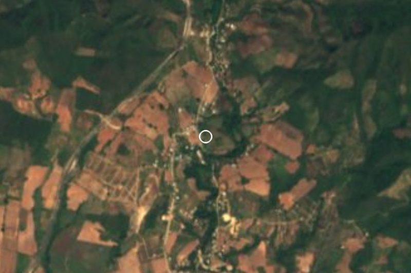




Drive times by road from OpenStreetMap, without traffic. Times marked ~ are estimated from the straight-line distance.
Location from OpenStreetMap. Written by Puebloteca.