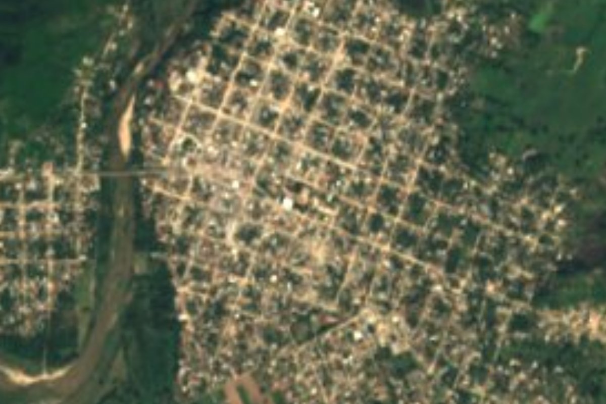
Town Tututepec, Oaxaca Municipality of Tututepec Oaxaca Coast
A Oaxaca coast town of 15,373 people, also called Piedra Parada, on Highway 200; the usual jumping-off point for Laguna de Chacahua.
From Oaxaca: 3 h 20 min by car (238 km by road) How to get there ↓
Near here
See everything nearby ↓


Plan your visit to Río Grande
Where to stay near Río Grande
Compare hotels, posadas and guest houses in Río Grande.
Tours to Río Grande
Day trips around Juquila sometimes stop in Río Grande; a tour is the easy way to see it without a car.
How to get to Río Grande
- From Oaxaca: about 3 h 20 min by road (~238 km)
- Nearest airport: Puerto Escondido (PXM), 1 h 22 min by car to Juquila
Links open a partner site. We may earn a commission if you book, at no cost to you.
About Río Grande
Río Grande, also known as Piedra Parada, is the largest community in the municipality of Villa de Tututepec de Melchor Ocampo on Oaxaca's coast: the 2020 census counted 15,373 residents, up from 12,943 in 2010. It sits at roughly 30 to 40 metres above sea level on Federal Highway 200, about 55 km west of Puerto Escondido according to Wikipedia.
The name comes from the river that crosses the town north to south on its way from the sierra to the Pacific. Local tradition says a nine-year-old, Pedro Martínez, was chasing an iguana when he found three carved stone human figures, which is how Piedra Parada got its name. The present town grew after floods forced residents to move from the Pueblo Viejo neighbourhood, which in 1935 was a ranch owned by the Del Valle family. Pre-Hispanic platforms and the so-called Piedras del Rey have turned up in the area, and the band Grupo Miramar, popular across Latin America from the 1970s to the 1990s, comes from here.
For travellers it is mainly a service stop on the coast road and the link to Lagunas de Chacahua National Park: from here you continue by taxi to El Zapotalito, where the boats leave. We found no hotels or sights of its own documented in reliable sources, so treat it as a place to pass through.
How to get to Río Grande
Drive from Oaxaca: 3 h 20 min, 238 km
Río Grande is on Federal Highway 200, which links Puerto Escondido with Santiago Pinotepa Nacional by way of Villa de Tututepec; Wikipedia puts it about 55 km west of Puerto Escondido. By bus, Busbud lists roughly 19 daily departures from Puerto Escondido to Río Grande or Piedra Parada, run by ALTAMAR and Autobuses Costeños; confirm times with the companies. A travel guide adds that minivans leave Puerto Escondido's TUR terminal for El Zapotalito every 15 minutes until 5 pm, taking about 50 to 60 minutes, and pass Río Grande shortly before the turn-off. From Oaxaca city the distance is long, so the usual way is to reach Puerto Escondido first and continue from there. Highway 200 west leads on to Pinotepa Nacional. For Chacahua, taxis and local transport run from Río Grande to El Zapotalito, where the boats leave.
Directions to Río Grande on Google Maps
Distances are in a straight line; the road is usually longer.
Links open a partner site. We may earn a commission if you book, at no cost to you.
From the nearest cities to Río Grande
- Oaxaca · 238 km by road, 3 h 20 min
- Huajuapan de León · about 265 km by road, ~3 h 55 min
- Tlapa · about 275 km by road, ~4 h
Drive times by road from OpenStreetMap, without traffic or stops. Times marked ~ are estimated from the straight-line distance.
Visiting Río Grande: what to see and do
Walk the town and its river, which gave the place its name.
Ask about the pre-Hispanic platforms and the Piedras del Rey in the area.
Eat and stock up before heading on to Chacahua.
Take a taxi on to El Zapotalito for the boat into Lagunas de Chacahua National Park.
Plan your trip
Places to stay in Río Grande
Compare hotels, posadas, and rentals in and around Río Grande.
Tours & activities
Day trips around Juquila sometimes stop in Río Grande; a tour is the easy way to see it without a car.
Rental cars
Pick up a car at PXM (Puerto Escondido): about 1 h 22 min by road to Juquila, then 29 km more to Río Grande, on your own schedule.
Flights
The nearest airport with scheduled flights is Puerto Escondido (PXM), about 1 h 22 min by road from Juquila, the base for Río Grande.
Mobile data
Signal can drop away from Juquila: download a map of the way to Río Grande before you set out, or carry an eSIM with data.
Links open a partner site. We may earn a commission if you book, at no cost to you.
When to go to Río Grande mild
Río Grande shares the climate of Juquila, 29 km away. The best months to visit are January, February, March, and December.
See the month-by-month climate of Juquila
Weather in Río Grande now and the next 7 days
Live forecast from Open-Meteo. Chance of rain is the day's highest.
The closest Pueblo Mágico: Juquila

Juquila is the Pueblo Mágico closest to Río Grande, with places to stay, food, and more to see.
Closest to Río Grande
-
Playa Roca Blanca · Beach · 11 km away
-
Laguna de Pastoría · Lagoon · 16 km away
-
Parque Nacional Lagunas de Chacahua · Nature reserve · 27 km away
-
Laguna de Manialtepec · Lagoon · 28 km away
-
San Miguel Panixtlahuaca · Town · 28 km away
-
San Juan Quiahije · Town · 35 km away
-
San Juan Lachao · Town · 37 km away
-
Santa María Amialtepec · Town · 38 km away

Near Río Grande




Drive times by road from OpenStreetMap, without traffic. Times marked ~ are estimated from the straight-line distance.
Location from OpenStreetMap. Written by Puebloteca.