

Town San Andrés Huaxpaltepec, Oaxaca Oaxaca Coast
Mixtec town of 6,234 on Highway 200 between Pinotepa and Jamiltepec, with the tortuga dance and a festival calendar all year.
From Tlapa: about 2 h 55 min by road (~200 km) How to get there ↓
Near here
See everything nearby ↓
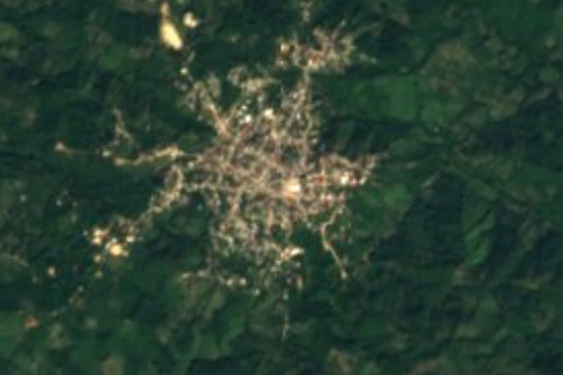

Plan your visit to San Andrés Huaxpaltepec
Where to stay near San Andrés Huaxpaltepec
Compare hotels, posadas and guest houses in San Andrés Huaxpaltepec.
Tours to San Andrés Huaxpaltepec
Day trips around Juquila sometimes stop in San Andrés Huaxpaltepec; a tour is the easy way to see it without a car.
How to get to San Andrés Huaxpaltepec
- From Tlapa: about 2 h 55 min by road (~200 km)
- Nearest airport: Puerto Escondido (PXM), 1 h 22 min by car to Juquila
Links open a partner site. We may earn a commission if you book, at no cost to you.
About San Andrés Huaxpaltepec
Before the Spaniards arrived, Huaxpaltepec was under the Tututepec chiefdom and was one of seven Mixtec settlements in that domain. It served as a periodic market and exchange centre, comparable to Pinotepa la Chica and Juquila. In the colonial period it belonged to the Jicayán province, had an indigenous town council and, in 1547, an encomendero, Luis de Castilla, 73 tributaries and two barrios. The name appears as Huaxpaltepec in 1826 and as San Andrés Huaxpaltepec from 1844. During the Revolution, Carrancista and Zapatista forces fought here because of its position between Pinotepa and Jamiltepec.
Today it is the seat of the municipality of the same name, in the Jamiltepec district of the Costa region, at 236 m above sea level. The 2020 census counted 6,234 residents. The economy mixes services, about 38% of workers, farming and ranching, 30%, and commerce, 16%. Maize for home use is the main crop, with squash, chile and herbs; cattle are common and some groups produce organic honey. Women weave traditional cloth on backstrap looms.
The ritual calendar is long. There are mayordomía festivals for the Sacred Heart of Mary (31 May), the Sacred Heart of Jesus (30 June), Jesús de Nazaret or Tata Chú (6 August), Santa Teresa (15 October), San Andrés (27 to 30 November), Guadalupe (12 December) and the Niño Dios (24 December), plus Holy Week, Todos Santos and the fiestas of February and March. The main dances include the tortuga, mulita, tejorones, mascaritas and collantes, and the Mixtec fandango is danced as well.
How to get to San Andrés Huaxpaltepec
San Andrés Huaxpaltepec sits on federal Highway 200, on the Pinotepa Nacional to Puerto Escondido stretch, between kilometres 17 and 18, next to Rancho Viejo (Wikipedia). Pinotepa Nacional is about 9 km west in a straight line and Jamiltepec about 13 km east, so the town lies between the two regional seats; the highway links it with both and, to the east, with Puerto Escondido. A road of about 5 km joins it to Cubitán. We found no source naming the bus or colectivo lines that stop in the town, ask in Pinotepa Nacional or Jamiltepec what transport runs to Huaxpaltepec and confirm where to get off. Road times are longer than straight-line distances: approximate and to be confirmed. From the city of Oaxaca it is a long trip of several hours, through the sierra or along the coast.
Directions to San Andrés Huaxpaltepec on Google Maps
Distances are in a straight line; the road is usually longer.
Links open a partner site. We may earn a commission if you book, at no cost to you.
From the nearest cities to San Andrés Huaxpaltepec
- Tlapa · about 200 km by road, ~2 h 55 min
- Huajuapan de León · about 215 km by road, ~3 h 10 min
- Acapulco · 277 km by road, 3 h 25 min
Drive times by road from OpenStreetMap, without traffic or stops. Times marked ~ are estimated from the straight-line distance.
Visiting San Andrés Huaxpaltepec: what to see and do
See the church of San Andrés, with two towers and a white dome.
Come on 27 to 30 November for the patron saint's festival.
Look for the tortuga, tejorones and mascaritas dances.
Ask about the backstrap-loom textiles the women make.
Take the 5 km road to Cubitán.
Plan your trip
Places to stay in San Andrés Huaxpaltepec
Compare hotels, posadas, and rentals in and around San Andrés Huaxpaltepec.
Tours & activities
Day trips around Juquila sometimes stop in San Andrés Huaxpaltepec; a tour is the easy way to see it without a car.
Rental cars
Pick up a car at PXM (Puerto Escondido): about 1 h 22 min by road to Juquila, then 67 km more to San Andrés Huaxpaltepec, on your own schedule.
Flights
The nearest airport with scheduled flights is Puerto Escondido (PXM), about 1 h 22 min by road from Juquila, the base for San Andrés Huaxpaltepec.
Mobile data
Signal can drop away from Juquila: download a map of the way to San Andrés Huaxpaltepec before you set out, or carry an eSIM with data.
Links open a partner site. We may earn a commission if you book, at no cost to you.
When to go to San Andrés Huaxpaltepec mild
San Andrés Huaxpaltepec shares the climate of Juquila, 67 km away. The best months to visit are January, February, March, and December.
See the month-by-month climate of Juquila
Weather in San Andrés Huaxpaltepec now and the next 7 days
Live forecast from Open-Meteo. Chance of rain is the day's highest.
The closest Pueblo Mágico: Juquila

Juquila is the Pueblo Mágico closest to San Andrés Huaxpaltepec, with places to stay, food, and more to see.
Closest to San Andrés Huaxpaltepec
-
Santiago Jamiltepec · Town · 12 km away
-
San Juan Colorado · Town · 15 km away
-
Parque Nacional Lagunas de Chacahua · Nature reserve · 47 km away
Near San Andrés Huaxpaltepec

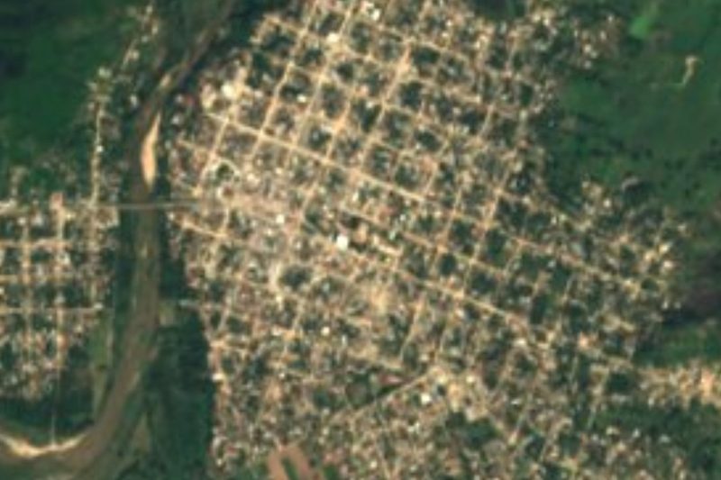




Drive times by road from OpenStreetMap, without traffic. Times marked ~ are estimated from the straight-line distance.
Location from OpenStreetMap. Written by Puebloteca.