4 places with their own page in the municipality of Tututepec, in the state of Oaxaca.
Map of Tututepec
Places to visit in Tututepec
Towns · 1 Beaches · 1 Lagoons · 1 Nature reserves · 1
Towns
-
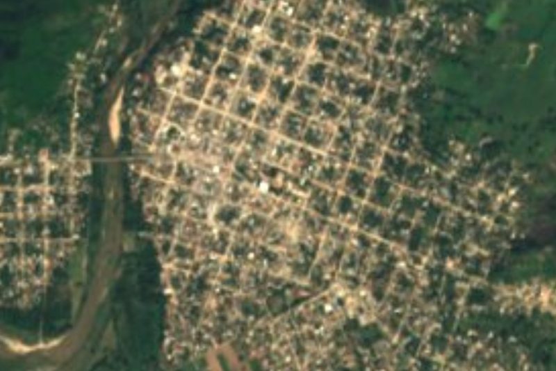
Río Grande · Town
A Oaxaca coast town of 15,373 people, also called Piedra Parada, on Highway 200; the usual jumping-off point for Laguna de Chacahua.
Beaches
-
Playa Roca Blanca · Beach
A long open beach west of Puerto Escondido, named for the guano-whitened rock offshore, with palapa restaurants and hammocks.

Lagoons
-
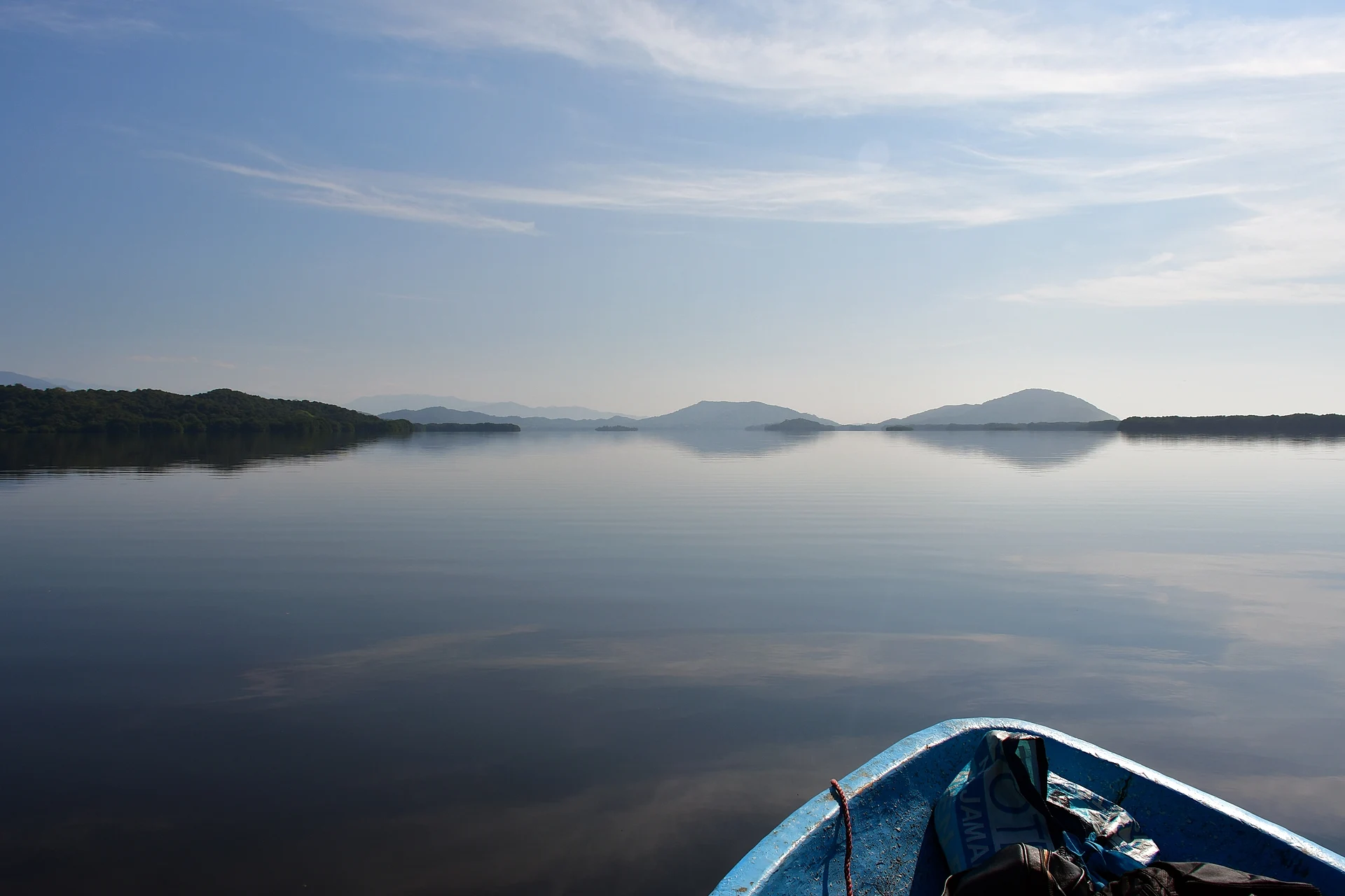
Laguna de Pastoría · Lagoon
The eastern lagoon of Lagunas de Chacahua National Park: 9 km long, with mangroves, bird islets and the boat landing at El Zapotalito.

Nature reserves
-
Parque Nacional Lagunas de Chacahua · Nature reserve
A 1937 national park of lagoons, mangroves and beach west of Puerto Escondido, with the fishing village of Chacahua on its sandbar.

Neighbouring municipalities
San Pedro Mixtepec · 5 Santa María Colotepec · 4 Santiago Yosondúa · 3
More of Oaxaca
Every place in Oaxaca → Waterfalls in Oaxaca · 3 Ruins in Oaxaca · 12 Lakes and Lagoons in Oaxaca · 5 Beaches in Oaxaca · 19 Nature Parks in Oaxaca · 8 Viewpoints in Oaxaca · 3